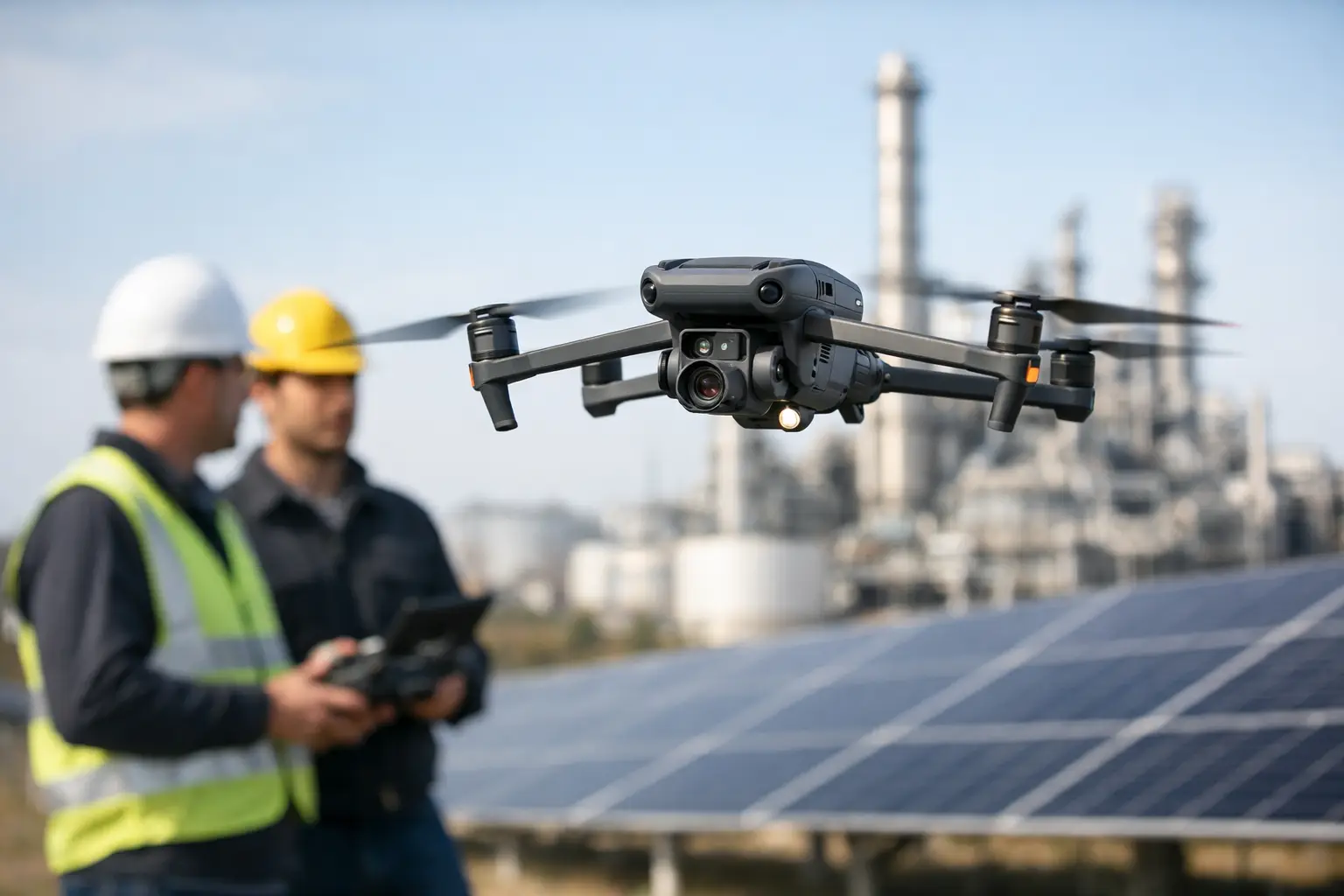
A shutdown window is booked, a crew is waiting, and someone still needs eyes on a roofline, flare stack, transmission structure, or tower section that is difficult to reach. That is usually when the real question shows up: when are drone inspections worth it? For commercial and industrial operators, the answer is not about novelty. It comes down to whether a drone-based workflow reduces risk, captures decision-ready data faster, and avoids the cost and disruption of traditional access methods.
When are drone inspections worth it for commercial operations?
Drone inspections make the most sense when access is difficult, safety exposure is real, and the asset matters enough that delays or blind spots carry a cost. If a team would otherwise need lifts, scaffolding, rope access, lane closures, shutdown coordination, or repeated manual site walks, the economics shift quickly.
That does not mean every inspection should move to drones. Ground-level inspection, hands-on testing, and engineer review still have a clear role. A drone is worth it when aerial visual data, thermal imagery, mapping, or repeatable documentation can answer the operational question without putting people in unnecessary exposure or slowing down the job.
For most organizations, the value shows up in four places at once: less risk, faster turnaround, better coverage, and stronger documentation. If only one of those applies, the case may be weak. If three or four apply, drone deployment usually deserves serious consideration.
The strongest use cases for drone inspections
The clearest return appears on assets that are elevated, expansive, hazardous, or time-sensitive. Industrial rooftops are a good example. A manual roof inspection can take time, require multiple access points, and still leave gaps in documentation. A drone can capture broad visual coverage quickly, identify visible problem areas, and create a record that maintenance or facilities teams can review without repeated climbs.
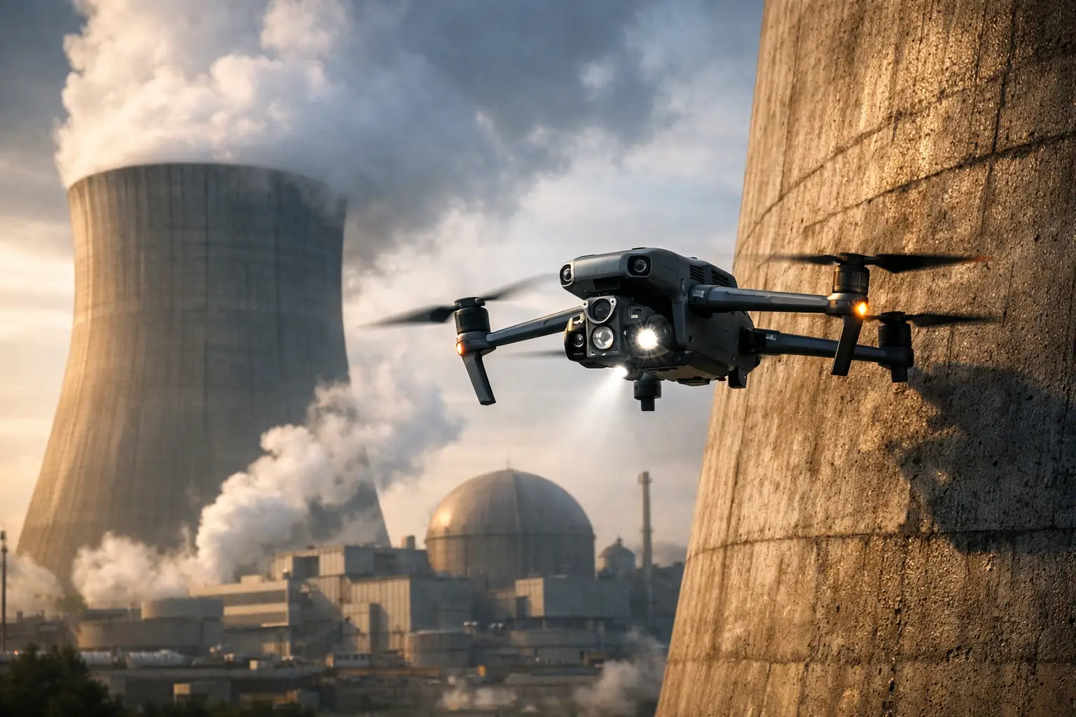
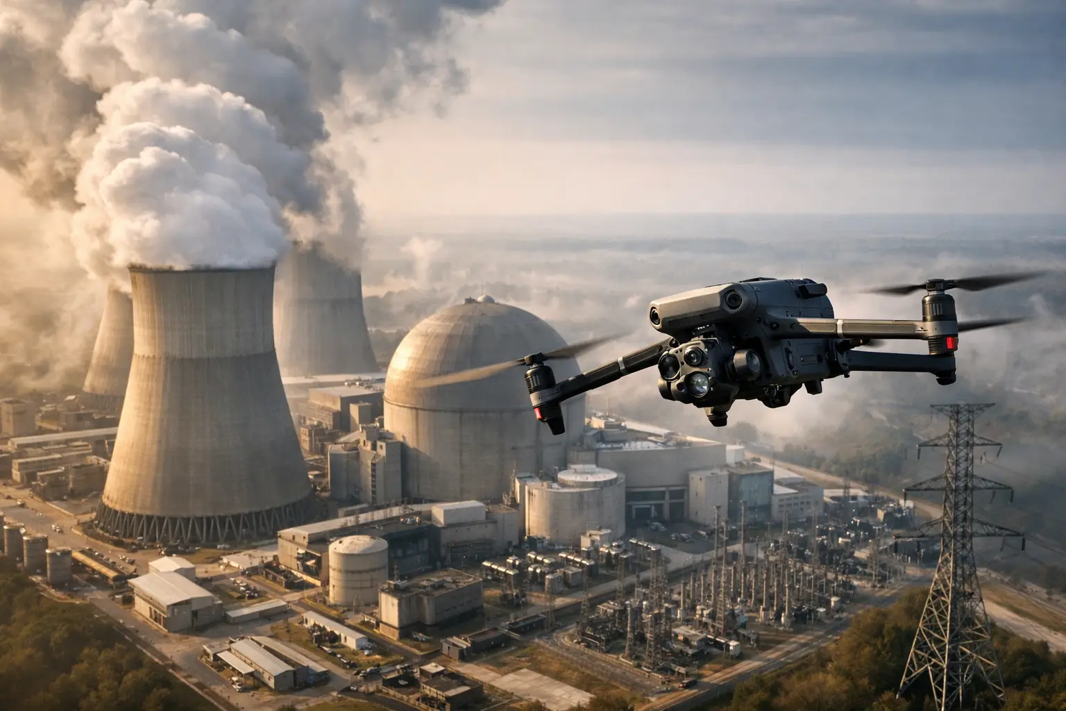
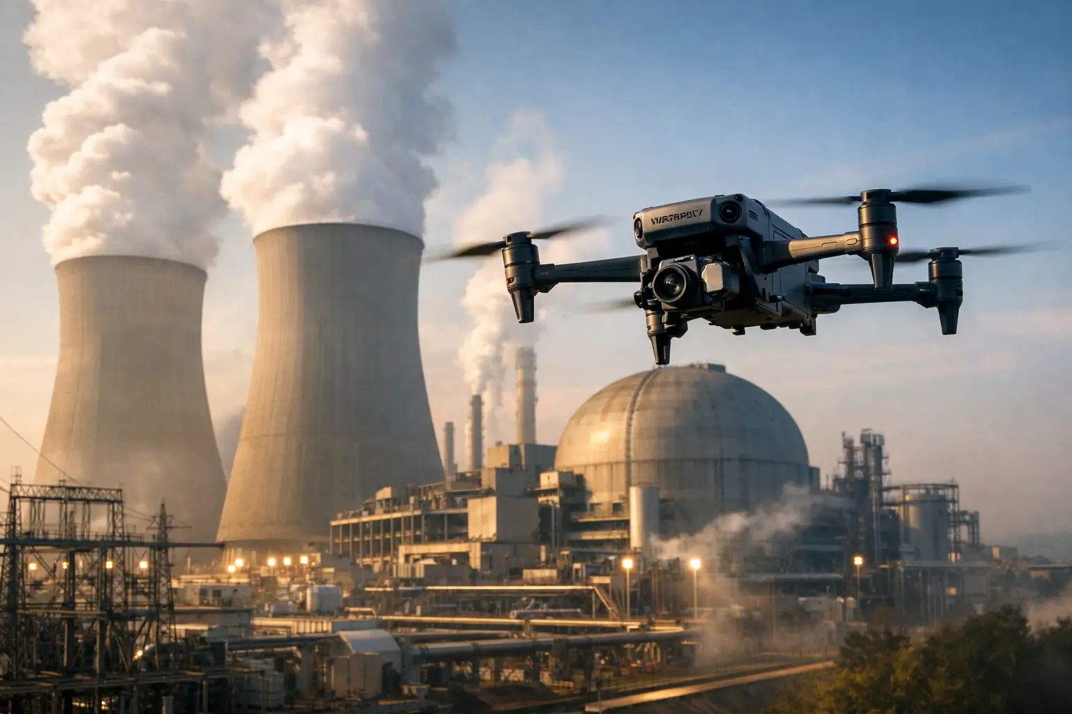
The same logic applies to vertical infrastructure such as cell towers, stacks, tanks, cooling structures, and elevated process equipment. When the objective is to document exterior conditions, identify visible damage, check coating loss, review component condition, or support maintenance planning, drone imagery can reduce the need for immediate physical access while giving teams a closer view than they can get from the ground.
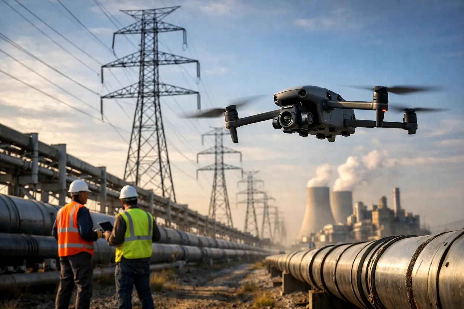
Linear infrastructure is another strong fit. Transmission lines, pipelines, fencing, stormwater systems, and large site perimeters are expensive to inspect on foot and slow to document consistently. Drones help cover distance fast and create a visual record that can be shared across operations, engineering, and risk teams.
Construction is often where the value is easiest to measure. Progress documentation, orthomosaic mapping, stockpile tracking, and recurring aerial overviews help project managers see site conditions clearly without relying on fragmented updates. When a project spans months or years, repeatable drone data creates a timeline that supports scheduling, coordination, claims review, and owner reporting.
When the safety case alone justifies the cost
In some environments, the inspection is worth it before anyone compares line items. If personnel would otherwise work at height, near energized infrastructure, around unstable surfaces, or in post-event conditions, reducing exposure can be reason enough to use a drone.
That is especially true after storms, fire events, structural impacts, or other incidents where site conditions may be uncertain. A drone can support an initial visual assessment before teams commit people and equipment to a damaged area. It does not replace qualified inspectors, engineers, or utility procedures, but it can give decision-makers a clearer picture early enough to plan the next move safely.
Insurance and catastrophe documentation often falls into this category. After loss events, speed matters, but so does documentation quality. Aerial imagery helps adjusters, carriers, and property stakeholders understand the extent and context of damage across large roofs, industrial sites, utility corridors, or multiple structures. In these situations, drone inspections are often worth it because they improve both safety and claim documentation at the same time.
When the numbers make sense
The financial case is rarely just the drone flight cost versus a manual inspection cost. The better comparison includes labor hours, access equipment, schedule impact, downtime, reinspection risk, and how many people must be involved.
If a facility needs scaffolding, a boom lift, traffic control, shutdown coordination, or a specialized access crew just to see the problem area, a drone often becomes the lower-friction option. Even when a follow-up hands-on inspection is still required, using drone data first can narrow the scope. That means fewer hours spent inspecting the wrong areas and better preparation for the work that truly needs direct contact.
There is also the cost of incomplete information. If a team has to make maintenance, repair, or insurance decisions from partial visibility, mistakes become expensive. A missed defect, a second mobilization, or a delayed repair window can erase any savings from avoiding a professional aerial inspection.
This is where disciplined field execution matters. Commercial clients are not buying footage. They are buying usable documentation captured safely, legally, and with enough consistency to support operations. That standard is what determines whether the spend produces real value.
When drone inspections are not worth it
There are cases where a drone is not the right tool. If the asset is easy to reach, the inspection area is small, and a technician already needs hands-on access for measurement, testing, or repair, sending a drone may add little.
The same goes for inspections that require information a camera or thermal sensor cannot provide. A drone can support visual review, thermal screening, mapping, and condition documentation, but it does not certify a structure or replace physical testing. If the real need is destructive testing, close-contact measurement, or engineering analysis that depends on direct access, the drone is a support tool, not the lead method.
Site conditions can also limit value. Airspace restrictions, poor weather, active operations, electromagnetic interference, confined spaces, or facility-specific safety controls may reduce what can be done efficiently. In those cases, a professional operator should say so plainly. The right answer is not always to fly. It is to choose the method that serves the asset and the mission.
Signs your operation is ready for drone-based inspection support
If your team is asking for faster site visibility, more consistent inspection records, or safer ways to review hard-to-reach assets, the operational need is already there. Drone inspections are especially worth considering when the same asset needs recurring review over time. Repeat flights create comparable records that help teams spot changes, verify repair progress, and support maintenance planning.
They are also a strong fit when multiple departments need the same visual data. Operations may need a condition check. Engineering may need imagery for planning. Insurance may need documentation. Project managers may need status verification. A well-executed drone inspection can serve all of those functions from one mobilization.
For organizations managing large facilities or distributed infrastructure across Georgia, Alabama, South Carolina, or Tennessee, that efficiency matters even more. Travel time, crew coordination, and asset spread can make traditional inspection workflows slow and inconsistent. A qualified drone partner can help standardize how aerial data is collected and delivered across sites.
What to look for before you decide
If you are evaluating whether a drone inspection is worth it, focus on the outcome rather than the aircraft. Ask what decision the inspection needs to support. Is it maintenance planning, damage documentation, project tracking, thermal screening, exterior condition review, or pre-work scoping? Once that is clear, it becomes easier to judge whether aerial data will move the job forward.
It also helps to ask how the deliverables will be used after the flight. High-resolution imagery, thermal captures, orthomosaics, 3D models, and organized inspection documentation are valuable only if they fit into the way your team already works. The best drone inspection programs are not built around flying for its own sake. They are built around reducing uncertainty for people responsible for expensive assets and tight decisions.
That is why provider quality matters. FAA Part 107 compliance, insurance coverage, industrial field experience, and disciplined site operations are not extras in this kind of work. They are the baseline for commercial environments where safety, documentation, and reliability matter.
A drone inspection is worth it when it saves exposure, saves time, and gives your team a clearer basis for action. If it only adds images, it is a nice-to-have. If it improves how you inspect, plan, document, and respond, it becomes a practical business tool.