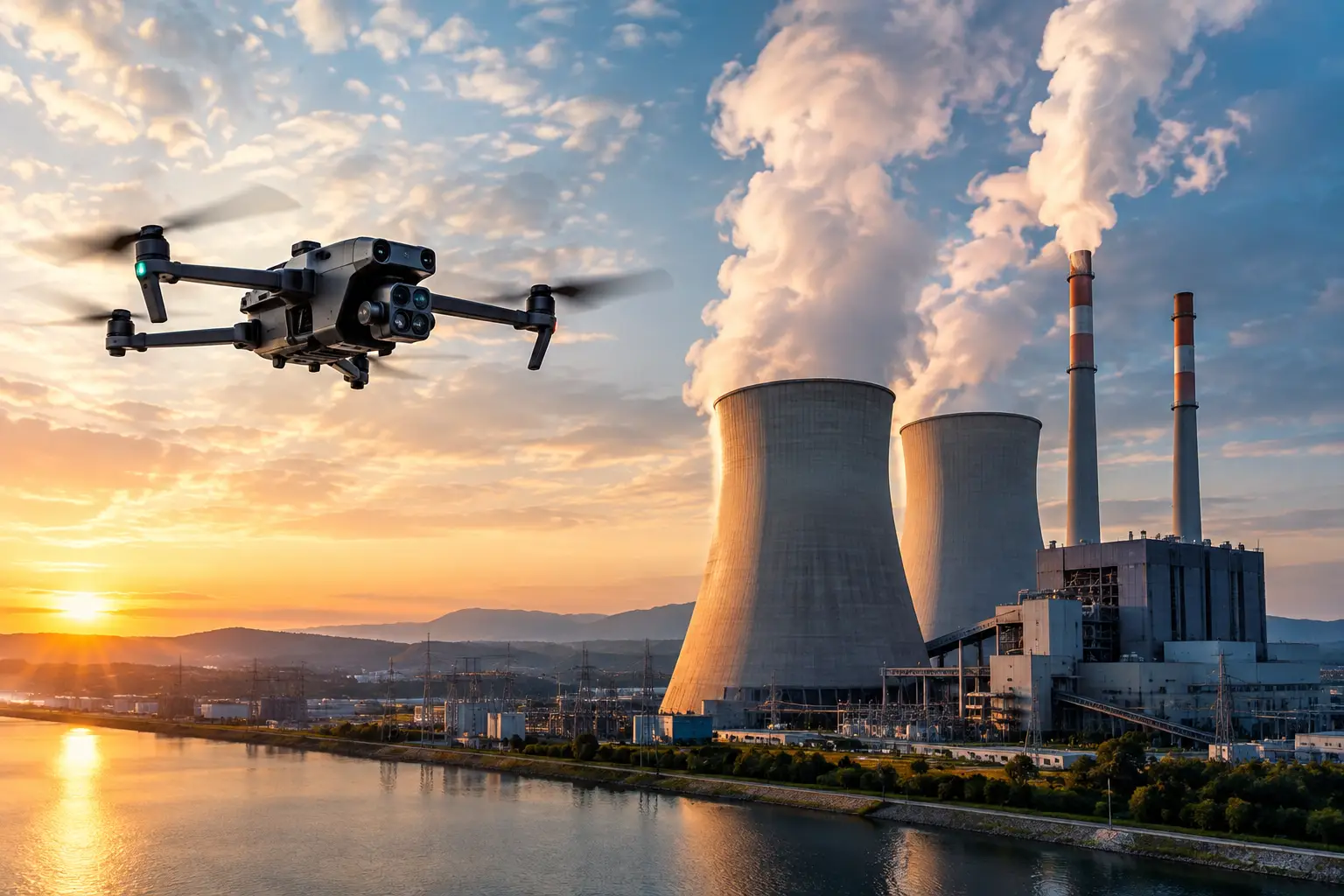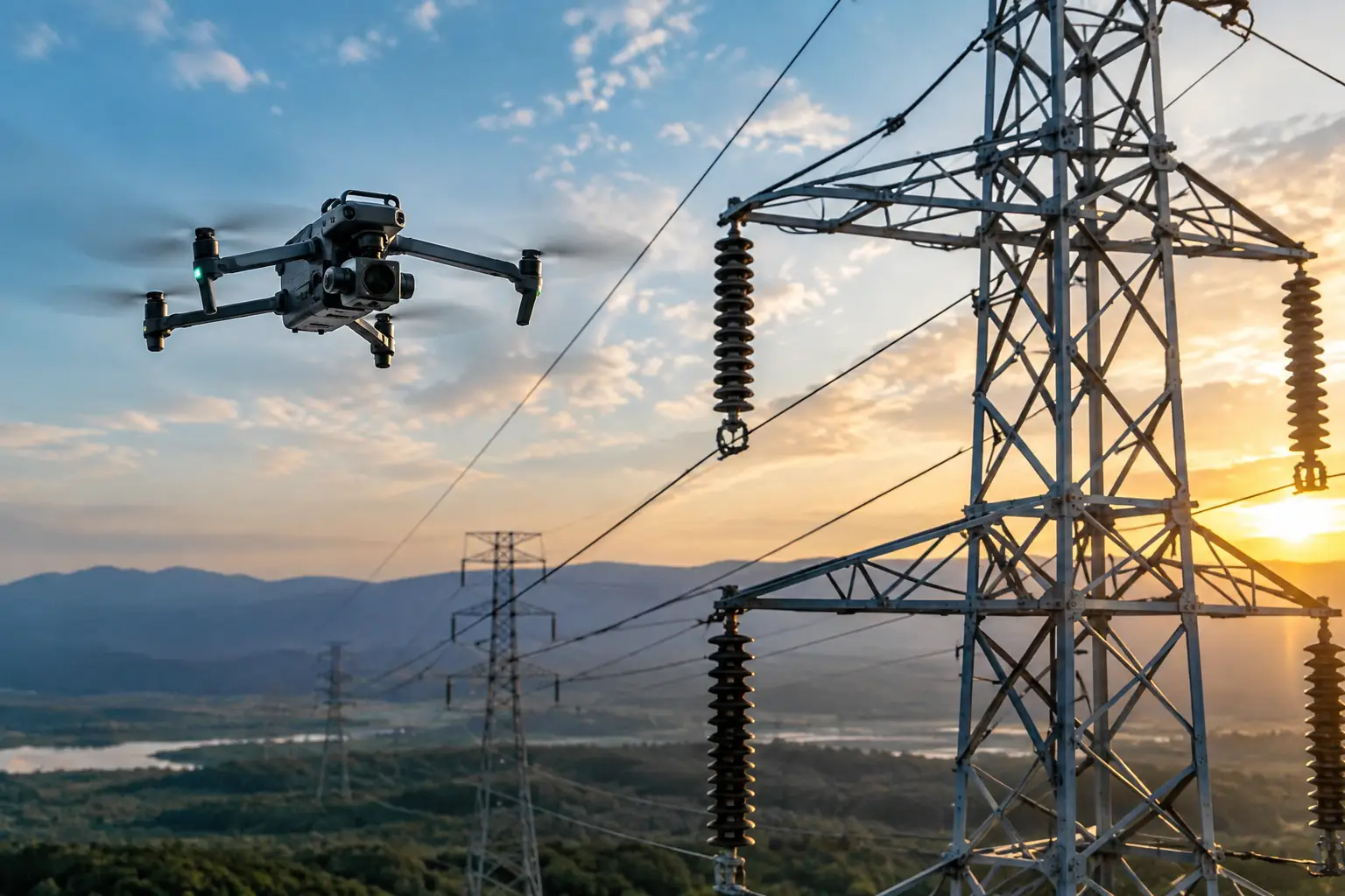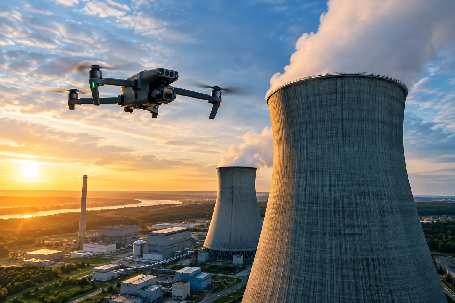
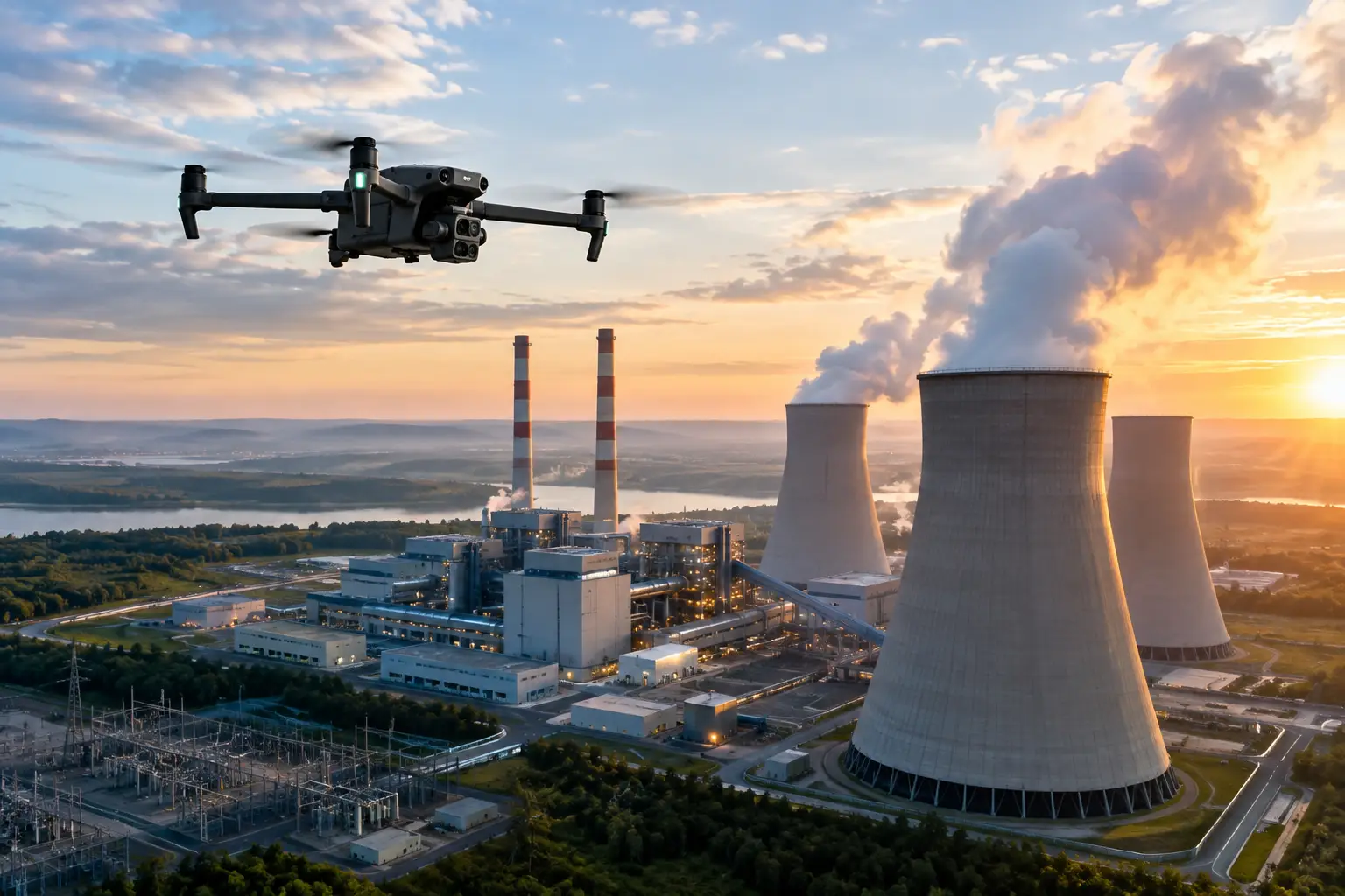
A superintendent comparing earthwork quantities, a utility manager reviewing a substation yard, and an adjuster documenting storm damage all need the same thing: an accurate view of conditions on the ground. So, what is an orthomosaic map? It is a high-resolution aerial image made from many overlapping photographs that have been corrected and stitched together so the final image can be used like a map.
Unlike a standard drone photograph, an orthomosaic accounts for camera angle, elevation changes, and lens distortion. Features across the image are placed in their correct geographic positions, allowing teams to measure distances, areas, and locations with far more confidence than they could from a single overhead photo.
What Is an Orthomosaic Map and Why Does It Matter?
An orthomosaic map is a single, geometrically corrected image created from a planned aerial data collection flight. Specialized processing software identifies common points across hundreds or thousands of overlapping images, aligns them, and corrects for the perspective effects that occur when a camera photographs the ground from above.
The result is a detailed, top-down visual record of a site. Roads, roofs, stockpiles, structures, drainage features, laydown yards, access routes, and exposed utilities can be viewed in one continuous image rather than across a collection of separate photographs.
That distinction matters in commercial and industrial work. A normal aerial image may be useful for general context, but objects near the edge can appear stretched or shifted. Measurements taken from it may not be dependable. An orthomosaic is designed to reduce those distortions, making it a more practical deliverable for project documentation, planning, inspection support, and change tracking.
Accuracy is not automatic, however. The quality of an orthomosaic depends on the flight plan, camera resolution, site conditions, available GPS data, elevation changes, and processing method. For work that requires tighter positional accuracy, a provider may use ground control points or high-accuracy positioning methods such as RTK or PPK. The required approach depends on how the map will be used.
How an Orthomosaic Is Created
The field process begins well before a drone launches. The site boundaries, required resolution, airspace considerations, operating hazards, weather, access restrictions, and deliverables must be understood first. On an active construction project or energy facility, safe coordination with site personnel is as important as image capture.
During the flight, the aircraft follows a systematic grid or corridor pattern and captures images with substantial overlap. That overlap gives the processing software enough shared visual information to determine how each image fits with the others. A mapping mission may capture the site from directly overhead, while some projects also require angled imagery for 3D models or detailed visual documentation.
After collection, the images are reviewed and processed. The software removes much of the perspective distortion, aligns the photos, and produces the orthomosaic. Depending on the scope, the final package may also include a digital surface model, contour data, a point cloud, georeferenced imagery, or comparison maps from multiple dates.
Field conditions can affect the result. Standing water, reflective surfaces, moving vehicles, wind-blown vegetation, deep shadows, and repetitive surfaces can create gaps or processing challenges. A disciplined operator plans around those limitations rather than treating mapping as a quick pass over the property.
Orthomosaic Maps Are Not the Same as 3D Models
An orthomosaic is primarily a two-dimensional, top-down map product. It is excellent for showing location, coverage, surface conditions, and change over time. A 3D model adds depth and can help teams examine vertical faces, roof geometry, structures, and equipment from multiple angles.
The two products often work together. For example, a construction team may use an orthomosaic to review site logistics and overall progress, then use a 3D model to examine a structure, cooling tower exterior, industrial roof, or complex equipment area. Neither replaces an engineer’s analysis, survey control requirements, or hands-on inspection where those are necessary. They provide organized visual data that helps those teams work from a clearer record.
Where Orthomosaic Mapping Delivers Value
For construction operations, orthomosaics create a consistent view of site progress. Project teams can document grading, foundation work, utility installation, material staging, paving, drainage, and building progress from the same perspective at regular intervals. That makes it easier to identify changes, coordinate logistics, communicate with stakeholders, and maintain a visual record of work that may later be covered.
For utilities and energy facilities, mapping can support planning and documentation across large footprints. A current aerial map may help teams understand access roads, equipment yards, transmission corridors, vegetation conditions, staging areas, and the relationship between visible assets. At substations, plants, and other controlled environments, the work must be planned around facility procedures, operating conditions, and approved access.
For insurance and catastrophe response, a georeferenced orthomosaic can establish a broad, time-stamped record of affected conditions. After a storm, teams may need to assess roof impacts, debris fields, damaged infrastructure, access constraints, or the extent of visible loss across a commercial property. The map provides context that isolated images often cannot. Individual close-up photographs and thermal data, when appropriate, can then add detail to the larger record.
Industrial facilities can use orthomosaics to document rooftops, yards, pipelines, storage areas, and exterior infrastructure without placing personnel in unnecessary exposure. The gain is not simply speed. It is the ability to give operations, maintenance, engineering, and risk teams a common visual reference point while reducing repetitive manual site walks and elevated-access requirements.
What Teams Can Measure and Verify
When the map is produced to an appropriate accuracy standard, users can measure visible distances and areas, locate features, estimate surface coverage, and compare conditions from one collection date to another. Common examples include roof areas, laydown yard dimensions, disturbed ground, pavement coverage, stockpile footprints, and work-zone boundaries.
The appropriate level of precision depends on the decision being made. A project manager documenting monthly progress may need reliable visual context and approximate measurements. An engineering or survey workflow tied to design, legal boundaries, or payment quantities may require survey-grade control, defined coordinate systems, and formal verification. Those are different scopes of work and should not be treated as interchangeable.
A useful orthomosaic also depends on clear deliverable requirements. Teams should establish the desired ground sample distance, coordinate system, accuracy expectation, coverage area, file format, and collection date. If the map will be compared against existing CAD, GIS, survey, or project-management records, compatibility should be addressed before the flight.
Questions to Set Before Mapping Begins
A short pre-mission discussion prevents many avoidable problems. Decision-makers should define:
- the operational question the map needs to answer;
- the full area that must be captured, including access routes or adjacent work zones;
- whether measurements are informational or must meet a specified accuracy tolerance;
- the need for repeat collections to document progress or changing conditions; and
- site-specific safety, security, airspace, and access requirements.
These details determine flight altitude, image overlap, control methods, staffing, processing time, and the final format. A large site may benefit from scheduled monthly collections, while a storm-damage assessment may require rapid mobilization and a focused documentation plan.
Choosing an Orthomosaic Provider
The value of an orthomosaic is tied to both the final map and the discipline behind the collection. Complex sites demand more than a drone and a camera. They require a provider that can plan safe operations, communicate with site leadership, follow applicable airspace requirements, recognize field constraints, and deliver data in a form the client can use.
For high-value construction, industrial, utility, and insurance work, ask how accuracy will be managed, what quality checks are performed, and whether the provider has experience operating around active worksites and sensitive infrastructure. FAA Part 107 certification and appropriate insurance coverage are baseline indicators of professional readiness, but project-specific planning remains essential.
Air Reel Technologies approaches orthomosaic mapping as an operational data collection task, not a photography assignment. The objective is a dependable visual record that supports decisions while reducing time in the field and unnecessary exposure around difficult assets.
Before requesting a map, identify the decision it needs to support. Once the intended use, accuracy needs, and site constraints are clear, an orthomosaic becomes more than an overhead image – it becomes a practical reference for the work ahead.