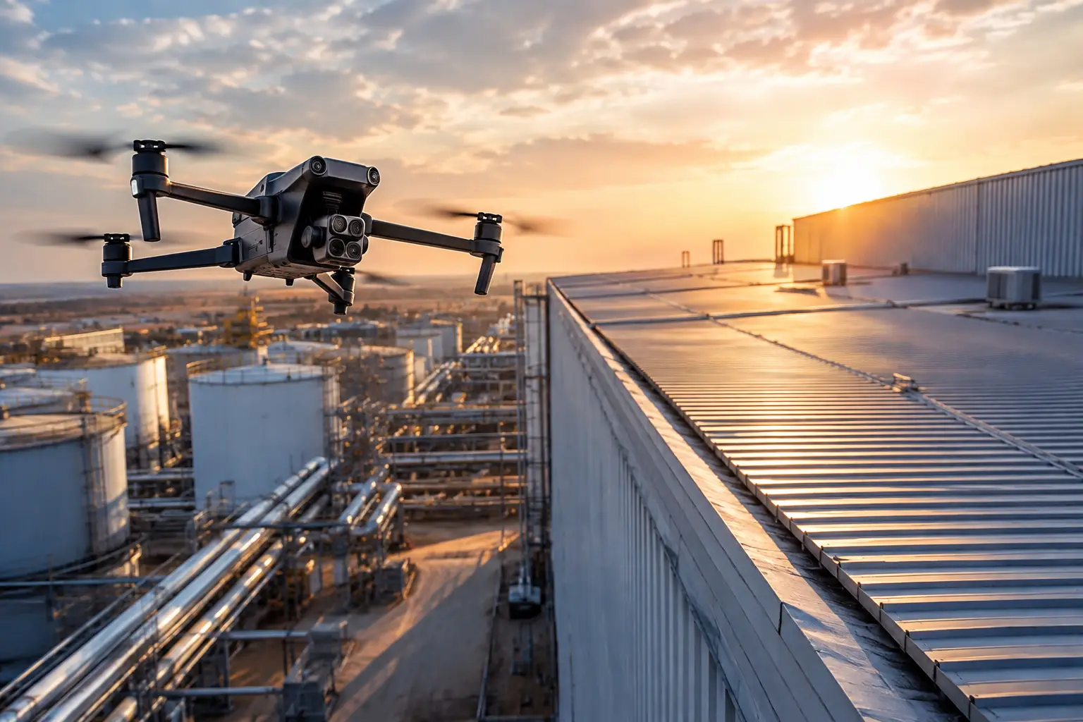
A roof may look intact from a parking lot while lifted flashing, impact marks, damaged penetrations, or ponding water remain out of view. After a major storm or industrial loss, that gap between what is visible from the ground and what is actually documented can slow a claim, create disputes, and expose adjusters to unnecessary repeat visits. The question is not simply what data supports insurance adjusters, but whether the available evidence is timely, complete, traceable, and useful for making a defensible claim decision.
For commercial, industrial, and infrastructure losses, strong claim support comes from a coordinated record of site conditions. High-resolution aerial imagery, thermal data, mapping, measurements, timestamps, weather context, and organized inspection documentation each answer a different question. Together, they give adjusters, carriers, engineers, contractors, and insureds a clearer basis for evaluating damage, scope, and next steps.
What Data Supports Insurance Adjusters Most Effectively?
The most useful claim data does more than show that damage exists. It helps establish where the damage is located, how extensive it appears, when it was observed, and how it relates to the reported event. It also gives teams a consistent visual record they can review without repeatedly sending personnel into hazardous, elevated, or difficult-to-access areas.
High-resolution visual imagery
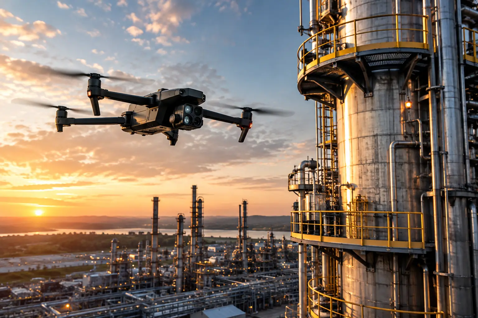
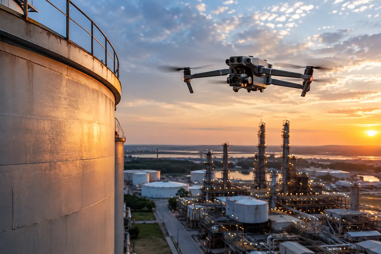
Clear, properly captured imagery is often the starting point for a claim file. Exterior photographs should document the overall asset as well as specific areas of concern. For large commercial rooftops, cell towers, transmission structures, industrial facilities, and construction sites, aerial imagery can capture angles that are impractical or unsafe to obtain from the ground.
Useful images include wide-context views that show the asset and its surroundings, medium-range views that establish the damaged section, and close-detail views of observed conditions. This progression matters. A close image of damaged membrane or bent metal has greater value when reviewers can also see exactly where it sits on the structure.
Image quality is not only about resolution. Consistent lighting, stable framing, usable focus, and accurate file organization affect whether the material can be reviewed efficiently. A set of hundreds of unlabeled images may contain valuable evidence, but it creates extra work. Organized folders, labeled locations, and a defined capture plan make the information more practical for claims operations.
Dates, times, location, and capture records
Claim decisions rely on context as much as appearance. Metadata and field records can identify when imagery was collected, where it was captured, and which areas were inspected. This information helps distinguish a post-event condition from later changes caused by weather, repairs, cleanup activity, or ongoing site operations.
For catastrophe work, speed is especially important. Conditions can change within hours as tarping, debris removal, emergency repairs, and contractor activity begin. A documented aerial collection completed soon after access is authorized can preserve a reliable baseline for later comparisons.
Location records should be handled with discipline. On a large facility, a note such as “north roof” is rarely specific enough. Asset identifiers, building elevations, grid references, roof zones, pole numbers, tower sections, or mapped coordinates help reviewers locate the same condition later. This is particularly valuable when multiple adjusters, consultants, or restoration teams are involved.
Orthomosaic maps and measured site context
An orthomosaic map is a geometrically corrected aerial image assembled from overlapping captures. Unlike a standard overhead photograph, it provides a more consistent top-down record that can be used to view an entire site, identify relevant areas, and support measurements when appropriate to the collection method and project requirements.
For a warehouse complex, an orthomosaic can show roof sections, rooftop equipment, access routes, staging areas, debris fields, and adjacent structures in one documented view. For utility or infrastructure claims, it can help organize observations along a transmission corridor, substation perimeter, pipeline right-of-way, or access road.
Maps are not a substitute for a repair estimate, engineering opinion, or hands-on assessment. Their value is in spatial clarity. They let claim teams reference a specific location, compare conditions across dates, and communicate findings without relying on vague descriptions or memory.
Thermal imagery when the claim calls for it
Thermal imaging can identify temperature differences that may warrant closer evaluation. On commercial roofs, it may reveal patterns associated with retained moisture, insulation anomalies, or heat transfer around equipment. At industrial facilities, thermal data can support observations around electrical components, process equipment, or other systems where abnormal temperature patterns matter to maintenance and operations teams.
Thermal data requires careful interpretation. Sun exposure, ambient temperature, material type, wind, moisture, operating status, and the time of collection all influence what the sensor records. A thermal image alone does not diagnose a defect or prove the cause of loss. It is best used as supporting visual intelligence that helps adjusters and qualified specialists identify areas for follow-up.
Pre-loss records and repeat documentation
Few forms of evidence are more valuable than a reliable pre-loss baseline. Earlier aerial imagery, inspection photographs, progress documentation, maintenance records, and prior maps can help teams compare a reported condition against documented conditions before an event.
That comparison does not always produce a simple answer. A prior image may show an existing condition but not establish its severity, cause, or repair history. Still, it can narrow the investigation and reduce avoidable disagreement about whether damage was present before the reported date of loss.
Repeat collection also supports recovery and mitigation oversight. Documenting the site after the initial event, after emergency stabilization, and during repairs creates a visual timeline. For carriers and insureds managing large losses, this record can clarify what work occurred, which areas changed, and whether access or site conditions affected the schedule.
Data That Supports Insurance Adjusters in Complex Claims
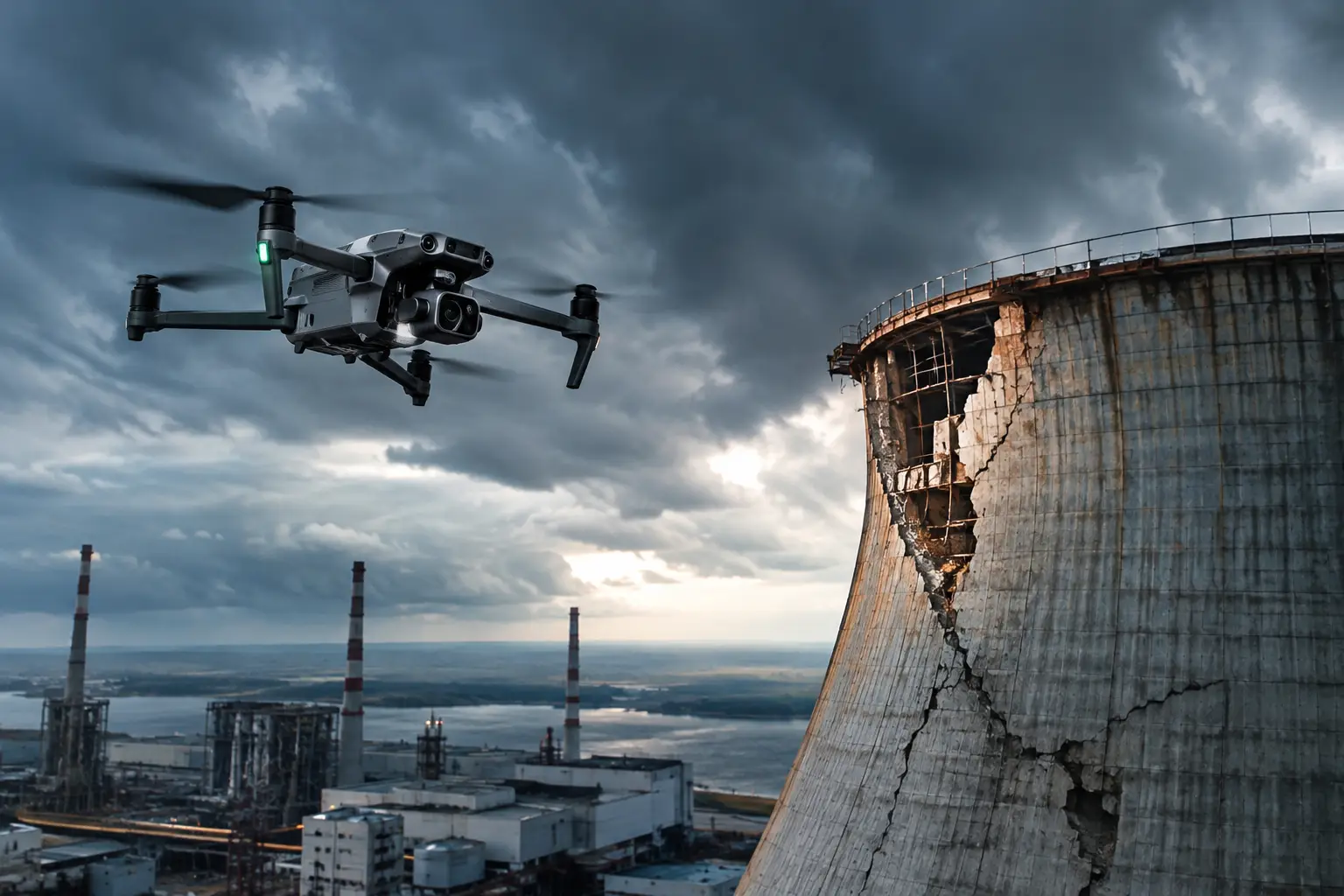
Complex claims typically require more than a single inspection visit. Industrial rooftops, power generation assets, cooling towers, telecom structures, construction projects, and utility infrastructure often involve large footprints, restricted access, multiple contractors, and active operations. The right documentation approach must fit those operating conditions.
Aerial data collection can reduce exposure to ladders, lifts, scaffolding, confined site areas, and unnecessary time near damaged assets. It can also provide an efficient way to assess broad areas before directing personnel to specific locations for closer review. That does not eliminate the need for qualified adjusters, engineers, roofing professionals, electricians, or other specialists. It gives them a better visual basis for planning their work.
The strongest deliverables combine the data types that answer the claim team’s actual questions. If the issue is wind damage across a large roof, high-resolution imagery, location references, an orthomosaic, and focused close-ups may be appropriate. If the concern involves potential water intrusion or equipment anomalies, thermal imagery may add useful context. If a claim involves a progressing construction loss, recurring site documentation and 3D models may provide a more useful record than a one-time flight.
The trade-off is straightforward: collecting more data is not automatically better. Extra imagery, models, and sensor outputs can create review burdens if they are not tied to a defined claim purpose. A disciplined field plan starts with the asset, the reported loss, access limitations, safety requirements, and the specific evidence needed by the claim team.
Documentation Quality Protects the Claim File
The practical value of aerial data depends on how it is collected and delivered. For high-stakes claims, adjusters should look for a provider that can work within site rules, coordinate around active operations, document the collection scope, and deliver files in an organized format. FAA Part 107 certification, professional insurance coverage, and field readiness are meaningful considerations when work involves commercial or industrial environments.
Collection methods should also be repeatable. Similar flight paths, comparable image angles, and consistent location labeling make before-and-after comparisons more useful. When weather, airspace, access restrictions, or site activity limit a flight, those limitations should be documented rather than ignored. A complete record includes what was observed and what could not be safely or lawfully captured at that time.
Air Reel Technologies supports claim and catastrophe teams with professional aerial documentation, mapping, visual inspections, and thermal data collection for difficult commercial and industrial assets. The objective is clear: provide usable field intelligence that helps teams assess conditions while reducing unnecessary risk and delay.
For adjusters, the best evidence package is not the one with the most files. It is the one that lets a reviewer understand the asset, locate the reported condition, compare it to available history, and determine what needs closer evaluation. When the data is collected promptly, organized carefully, and matched to the loss, it turns a site visit into a claim record that can keep working long after the flight is complete.