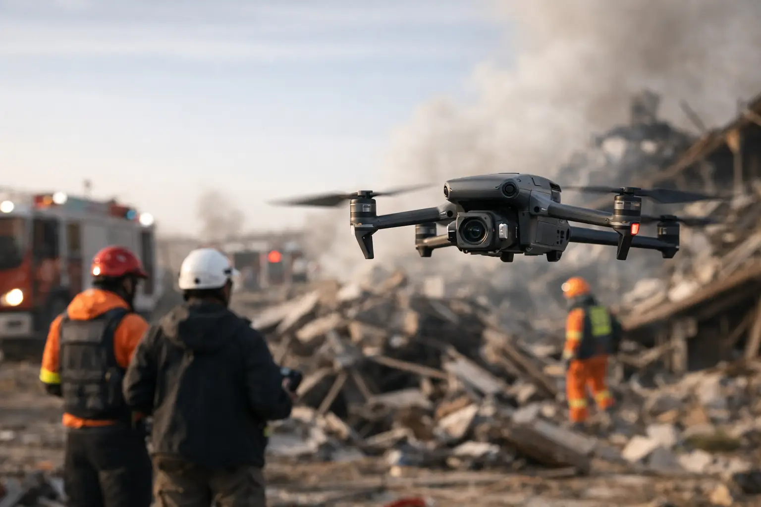
The first 24 to 72 hours after a hurricane, tornado outbreak, wildfire, or major storm often determine how quickly recovery starts. Roads may be blocked, sites may be unsafe to enter, and decision-makers still need clear documentation. That is where catastrophe response drone services become operationally valuable – not as a replacement for adjusters, engineers, or utility teams, but as a faster way to collect accurate visual data when conditions are still unstable.
For commercial property owners, insurers, utilities, construction teams, and infrastructure operators, the real issue is not just getting eyes on damage. It is getting usable documentation from multiple locations, under pressure, without creating more risk for field personnel. A disciplined drone response can help close that gap.
Where catastrophe response drone services fit
After a major event, most organizations face the same problem at scale. They may have dozens of roofs to inspect, multiple substations or transmission assets to document, active construction sites that need damage verification, or commercial properties where access is limited by debris, flooding, or structural concerns.
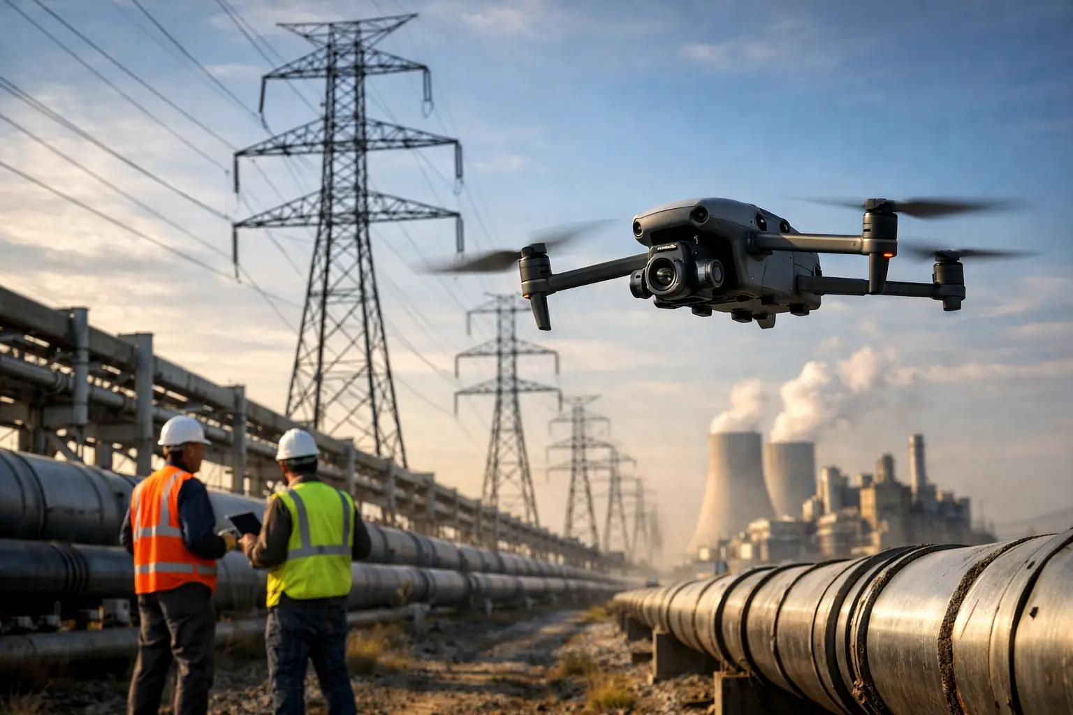
Traditional fieldwork still matters, but it can be slow and exposure-heavy in early response conditions. Sending personnel onto elevated surfaces, unstable structures, or partially secured industrial sites too early can increase risk and delay the broader assessment process. Drone operations support those teams by capturing high-resolution imagery, aerial overviews, thermal data when appropriate, and site-wide documentation that helps prioritize next steps.
That support is especially useful when stakeholders need different views of the same event. Insurance teams may need damage documentation for claims handling. Facility managers may need an asset-level visual record for maintenance planning. Project managers may need a broad look at site disruption, material displacement, or schedule impacts. Utilities and infrastructure operators may need corridor-level visibility to identify where ground crews should be sent first.
Speed matters, but so does discipline
Fast deployment sounds good in marketing, but speed without field control is not much help in a disaster zone. Effective catastrophe work depends on planning, airspace awareness, weather evaluation, site coordination, and safe data capture under changing conditions.
In practice, that means the provider needs more than a pilot and a drone. They need a repeatable field process. They need to understand how to work around active response operations, restricted access, damaged facilities, and clients who are making time-sensitive decisions with incomplete information.
This is why experienced providers focus on operational readiness, not just image capture. FAA Part 107 compliance, proper insurance coverage, site-specific risk management, and disciplined documentation all matter when the work involves commercial properties, industrial assets, or critical infrastructure environments.
What the data actually helps you do
The value of aerial response work is not the flight itself. It is what the collected data allows a team to do next.
For insurers and claims teams, aerial documentation can help establish a clearer record of visible damage across large properties or multiple structures. That can improve triage, reduce repeat site visits, and support communication between adjusters, carriers, consultants, and property stakeholders.
For commercial and industrial asset owners, drone data helps create a timely visual baseline after the event. That matters when decisions need to be made about temporary stabilization, contractor mobilization, shutdown impacts, or whether a site is safe enough for follow-on inspection by the appropriate specialists.
For construction teams, post-event drone documentation can show site conditions at a specific point in time. That is useful when tracking storm impacts to materials, access roads, laydown yards, roofing systems, scaffolding, or partially completed structures. It can also help project teams communicate clearly with ownership, subcontractors, and insurers.
For utilities, telecom providers, and infrastructure managers, the benefit is often scale. Aerial documentation can help identify obvious damage, blocked access, vegetation impacts, or structure-level issues across widespread assets more efficiently than relying on ground crews alone.
Catastrophe response drone services for complex assets
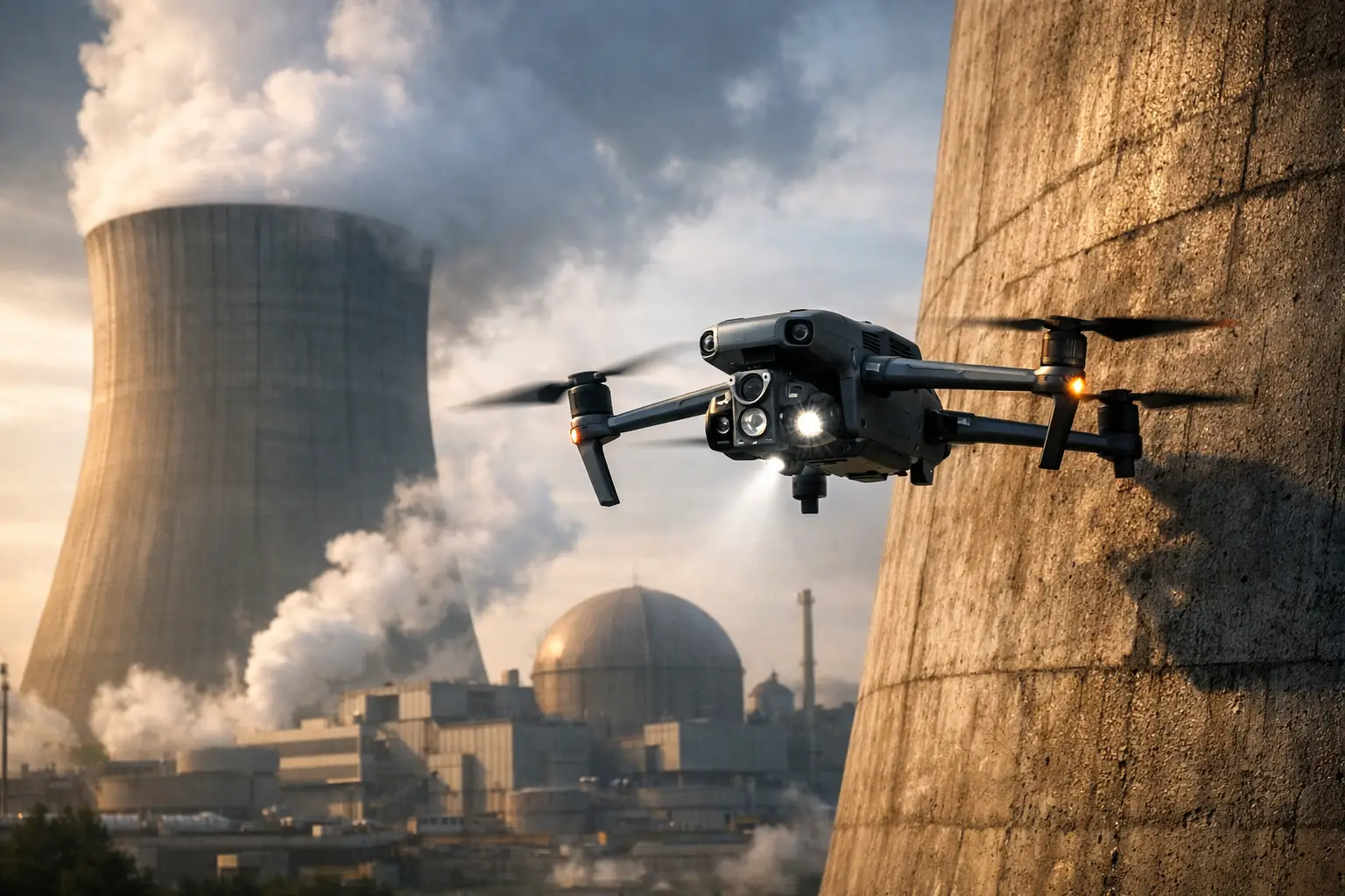
Not every damaged site is a standard commercial roof. Many organizations manage assets where access is difficult even under normal conditions. Catastrophe response drone services are particularly useful when the affected property includes industrial rooftops, cooling towers, substations, transmission structures, telecom towers, pipelines, or large active construction sites.
In these settings, the purpose is not to make broad claims about asset condition. The purpose is to capture accurate visual intelligence that supports the people responsible for evaluating it. High-resolution imagery, orthomosaic maps, 3D models, and thermal imaging can each play a role depending on the asset, the event, and the question being asked.
It depends on the situation. A storm-damaged warehouse portfolio may need rapid roof overviews and image sets for claims documentation. A utility may need corridor imagery to identify where access and repair crews should go first. An industrial facility may need a controlled aerial inspection to document visible exterior impacts without putting personnel immediately into elevated or restricted areas.
What good deployment looks like
A capable provider does not show up treating a catastrophe zone like a generic drone job. They establish scope quickly, confirm site access and safety constraints, coordinate with the client’s field contacts, and capture deliverables that fit the operational decision in front of the customer.
That usually starts with a simple question: what decision needs to be made from this data? If the answer is claims triage, the imagery package should support that purpose. If the answer is contractor mobilization, the flight plan and deliverables should help teams understand access, debris, surface damage, and asset priorities. If the answer is infrastructure assessment support, the data should be organized in a way engineering, maintenance, or operations teams can use.
This is also where experience in commercial and industrial environments matters. Working around damaged buildings, energized environments, active facilities, or large multi-stakeholder sites requires more than basic flight skill. It requires judgment.
Limits and trade-offs to understand
Drone response is effective, but it is not a cure-all. Weather can delay flights. Airspace restrictions may affect timing or require coordination. Flooding, smoke, wind, or poor visibility may reduce data quality or limit what can be captured on a given day.
There is also the question of what drones can and cannot determine. Aerial imagery can document visible conditions, support measurement, and provide site-wide context. It does not replace engineering analysis, licensed inspections, or technical determinations that require direct testing or specialized professional review.
That distinction matters, especially in high-value or regulated environments. The strongest drone providers are clear about the role of the data. They support decision-makers with accurate visual documentation. They do not overstate what the imagery proves.
Why buyers should look beyond basic flight capability
If you are hiring for catastrophe work, the lowest-risk choice is usually not the lowest-cost operator with a drone and a quick turnaround promise. The stakes are higher than that.
You need a provider that can work professionally in demanding conditions, document assets consistently, and deliver outputs that fit insurance, engineering, maintenance, and operations workflows. You also need confidence that the team understands field safety, compliance, and client coordination when sites are already under stress.
That is why commercial and infrastructure buyers tend to value field-tested operators with industrial inspection experience, disaster-response readiness, and disciplined execution. In a catastrophe setting, professionalism shows up in the details – communication, flight planning, documentation quality, and the ability to produce usable data without creating added friction for the client.
For organizations across Georgia, Alabama, South Carolina, and Tennessee, that often means working with a provider that is already built for complex assets and time-sensitive deployments rather than trying to adapt a general aerial media service to a mission-critical response need.
Choosing a catastrophe response drone services partner
The right partner should be able to explain what they capture, how they operate, what safety and compliance standards they follow, and how the final deliverables support your team’s next move. They should understand the difference between taking pictures and producing documentation that people can act on.
Air Reel Technologies is positioned for that kind of work because the company is built around commercial, industrial, and infrastructure-focused operations rather than general drone media. That matters when the assignment involves damaged facilities, high-risk access, or stakeholders who need reliable aerial intelligence fast.
After a catastrophe, clarity is a practical advantage. The sooner your team has credible visual documentation, the sooner it can sort priorities, reduce unnecessary exposure, and move from reaction to informed action.