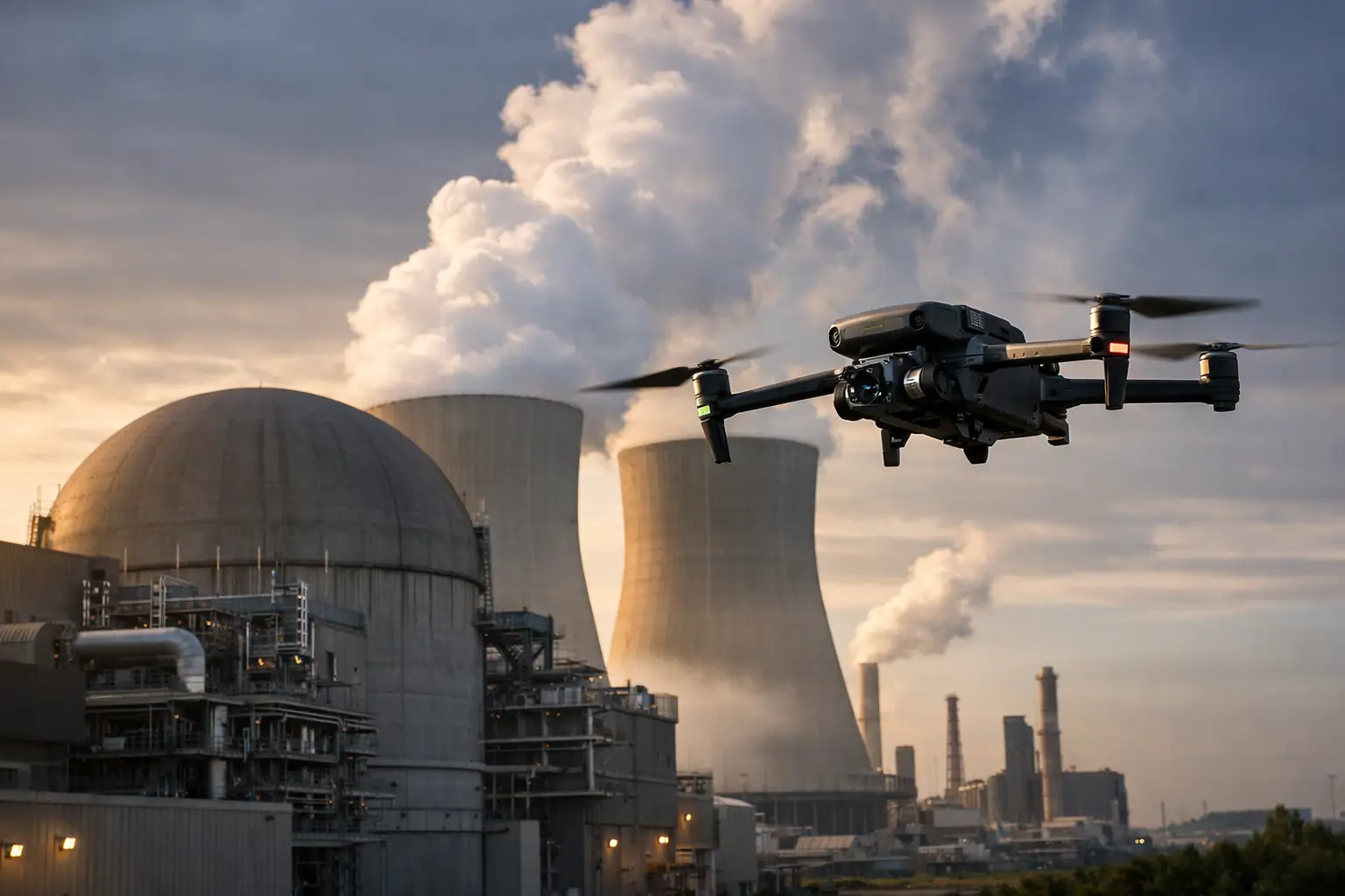
A property loss becomes harder to manage the moment the site changes. Water is extracted, debris is removed, temporary repairs begin, and contractors mobilize. Without a disciplined record of what was present at first notice of loss, adjusters, owners, and carriers may be left reconciling incomplete photos, conflicting site accounts, and estimates prepared weeks after the event. Visual documentation for property claims creates a defensible record before the evidence is altered.
For commercial and industrial property, that record must do more than show that damage occurred. It needs to establish location, scale, condition, access constraints, and the relationship between affected areas. High-resolution aerial imagery, ground-level capture, mapped site views, and thermal data when appropriate can give claims teams a clearer basis for evaluating a loss without relying on repeated, labor-intensive site visits.
Why Property Claim Documentation Breaks Down
Most claim files do not suffer from a lack of photographs. They suffer from a lack of organized evidence. A large facility, construction site, warehouse roof, transmission corridor, or industrial campus can generate hundreds of images after a storm or casualty event. If those images are not consistently labeled, positioned, dated, and tied to a clear capture plan, they can create more questions than answers.
This becomes especially difficult after widespread weather events. Adjusters and contractors may be working under pressure, access may be limited, and the property may be unsafe or impractical to inspect from every angle. Roof damage can be difficult to see from the ground. Damage to elevated equipment, facades, cooling structures, cell towers, or utility assets may require personnel to work at height or enter restricted work areas. Those methods can be necessary, but they take time and introduce additional safety exposure.
Aerial documentation helps close these gaps by capturing a broad, repeatable view of the asset while preserving fine visual detail. It does not replace an adjuster’s judgment, an engineer’s analysis, or a contractor’s scope of work. It gives each of those parties better visual evidence to work from.
What Strong Visual Documentation for Property Claims Includes
The right deliverables depend on the asset, the cause of loss, and the questions the claim team needs answered. A single set of overhead images may be sufficient for a small, isolated incident. A large commercial or industrial loss usually calls for a more structured package.
A clear baseline of the entire property
A claim team needs context before it can evaluate individual damage points. Wide-area aerial imagery can show the full roof system, building footprint, laydown areas, access roads, adjacent structures, drainage patterns, and visible debris fields. For construction claims, it can also document the state of work in place, stored materials, equipment positioning, and site conditions on the date of capture.
This broader view matters when a dispute concerns the extent of an event, the sequence of cleanup, or whether affected areas are isolated or distributed across a property. It also gives remote stakeholders a consistent reference point instead of forcing them to interpret close-up photos without orientation.
Detailed imagery of affected components
Close aerial images can document roof penetrations, membrane damage, displaced panels, damaged HVAC units, compromised flashing, façade impacts, fallen tree strikes, and other visible conditions. The goal is not dramatic footage. It is usable evidence captured at sufficient resolution, from useful angles, and with enough overlap to place each image within the larger asset.
For complex facilities, systematic flight paths are more useful than a collection of opportunistic photos. They help ensure that major surfaces and elevations are covered consistently, reducing the chance that a critical area is missed during an already stressful response period.
Georeferenced maps and measurable context
Orthomosaic maps can provide a corrected, top-down view of a site that supports location-based review. When conditions and project requirements allow, these maps can help teams identify affected zones, reference features, compare conditions over time, and communicate repair priorities across multiple parties.
Measurements derived from aerial data should be used thoughtfully. They can help inform an estimate, planning discussion, or follow-up inspection, but they are not a substitute for field verification where precision, contractual requirements, or engineering judgment demand it. The value is speed and clarity, not false certainty.
Thermal imagery when the question calls for it
Thermal imaging can add useful context in specific circumstances, such as identifying temperature differences that may warrant further investigation around roofing systems, electrical equipment, building envelopes, or moisture-affected areas. However, thermal results depend on weather, surface conditions, time of day, equipment settings, and the nature of the material being observed.
A thermal image should never be treated as a standalone diagnosis. It is best used as a documented observation that helps claims, maintenance, or engineering teams determine where a closer review may be justified.
Timing Matters More Than Most Claim Teams Expect
The first documentation window is often the most valuable. Wind, rain, standing water, cleanup activity, emergency stabilization, and ongoing operations can quickly change what is visible. Capturing conditions early preserves evidence while also giving decision-makers information they can use to prioritize access, mitigation, and further assessment.
That does not mean every loss requires an immediate full-site aerial mission. The appropriate response depends on the severity of the event, the size and complexity of the asset, safety conditions, airspace considerations, and the claim’s likely exposure. For a major regional storm, rapid deployment can be critical. For a localized equipment incident, targeted documentation may be more practical.
Repeat captures can be just as valuable as the initial record. A second flight after mitigation or repairs can document changing conditions, track the status of temporary protection, and create a clear separation between pre-repair damage and completed work. On large losses, this progression can reduce uncertainty for owners, carriers, contractors, and consultants reviewing the file at different stages.
A Field Workflow Built for Defensible Evidence
Good results begin before the aircraft launches. The documentation team should understand the asset type, reported loss, site hazards, operational restrictions, required deliverables, and the specific questions the claim team needs addressed. A roof assessment, for example, requires a different capture plan than a construction delay claim or a substation damage review.
At the site, safety and coordination come first. Operations must account for people, vehicles, active equipment, controlled areas, weather, and applicable flight restrictions. FAA Part 107 certification, appropriate insurance coverage, and disciplined field procedures matter because an urgent claim does not remove the need for compliant operations.
The capture itself should follow a plan: broad context first, then systematic coverage of key areas, followed by targeted detail where visible conditions warrant closer attention. Files should be organized so reviewers can understand what they are seeing without sorting through an unstructured image dump. Date and time records, location context, consistent naming, and clear deliverable organization all support a more usable claim file.
Air Reel Technologies applies this type of field-ready approach to commercial, industrial, and infrastructure-related documentation. For clients managing high-value or difficult-to-access assets, the objective is straightforward: collect reliable visual intelligence quickly, safely, and in a format that supports the next decision.
Where Aerial Documentation Delivers the Most Value
Aerial claim documentation is particularly useful when the property is large, hazardous, elevated, geographically dispersed, or difficult to access quickly. Commercial roofing losses are a common example, but the need extends well beyond rooftops.
Construction projects may require a record of storm damage, material conditions, work progress, or site access following an event. Industrial facilities may need visual coverage of roofs, stacks, cooling structures, exterior equipment, or storage areas. Utility and telecom claims can involve assets spread across broad areas where field teams need to understand conditions before committing resources. For catastrophe-response operations, an organized aerial overview can help triage multiple locations and direct adjusters toward the most affected properties first.
The trade-off is that aerial imagery has limits. It may not reveal concealed moisture, internal damage, subsurface conditions, or defects hidden beneath debris or standing water. It also cannot safely or legally be collected in every weather condition or airspace environment. The strongest claims workflow combines aerial evidence with on-site observations, repair records, expert review, and the appropriate follow-up inspections.
Turning Images Into Faster Decisions
Visual evidence earns its value when it shortens the path from uncertainty to action. A well-organized documentation package can help a carrier decide where to send an adjuster, help an owner prioritize mitigation, help a contractor plan access, and help a consultant understand the property before arriving on site.
It can also reduce avoidable friction. When all parties are reviewing the same dated, location-specific visuals, discussions move away from vague descriptions and toward identifiable conditions. That does not eliminate disagreement, but it gives the claim a stronger factual foundation.
For high-value property claims, the practical question is not whether aerial data looks impressive. It is whether the record will still be useful when the site has changed, the file has changed hands, and someone needs to understand exactly what was visible on a specific day. That is the standard visual documentation should meet.