A utility crew does not need more images after an inspection. It needs defensible information that helps prioritize work, document conditions, and send the right people to the right assets. That is the standard for top aerial data for utilities: imagery, mapping, and thermal findings collected with a defined operational purpose and delivered in a form that field, engineering, maintenance, and asset-management teams can use.
For transmission corridors, substations, generation facilities, pipelines, and distributed utility assets, the value is not the aircraft itself. The value is reducing exposure to difficult access, limiting unnecessary truck rolls, and creating a clear visual record of what was observed on a given date. The right aerial-data program supports existing inspection and engineering processes. It does not replace qualified personnel, formal maintenance procedures, or engineering judgment.
What Top Aerial Data for Utilities Should Include
The most useful utility deliverables begin with high-resolution visual documentation. Close-range images can reveal visible conditions such as damaged hardware, vegetation encroachment, corrosion, missing components, deteriorated surfaces, roof issues, or storm-related damage. Wide-area captures provide the context that close-up inspection photos often lack: access routes, site layout, drainage patterns, material staging, and the relationship between assets and surrounding terrain.
Image quality alone is not enough. Each file should be organized so a reviewer can understand what asset it depicts, where it was collected, and how it relates to the inspection scope. A large folder of unlabeled photographs may create more review work than it eliminates. Well-structured documentation gives teams a repeatable record for comparing conditions over time, preparing work orders, supporting outage planning, or communicating with contractors and insurers.
Thermal imaging adds another layer when the mission, environmental conditions, and asset type make it appropriate. It can help identify temperature differences that merit closer review, including potential hot spots on electrical equipment or areas of heat loss on facility envelopes. Thermal findings require context. Load conditions, ambient temperature, emissivity, distance, surface reflectivity, and angle of capture can affect interpretation. A thermal image should be treated as a targeted observation that supports maintenance or engineering follow-up, not as a standalone diagnosis.
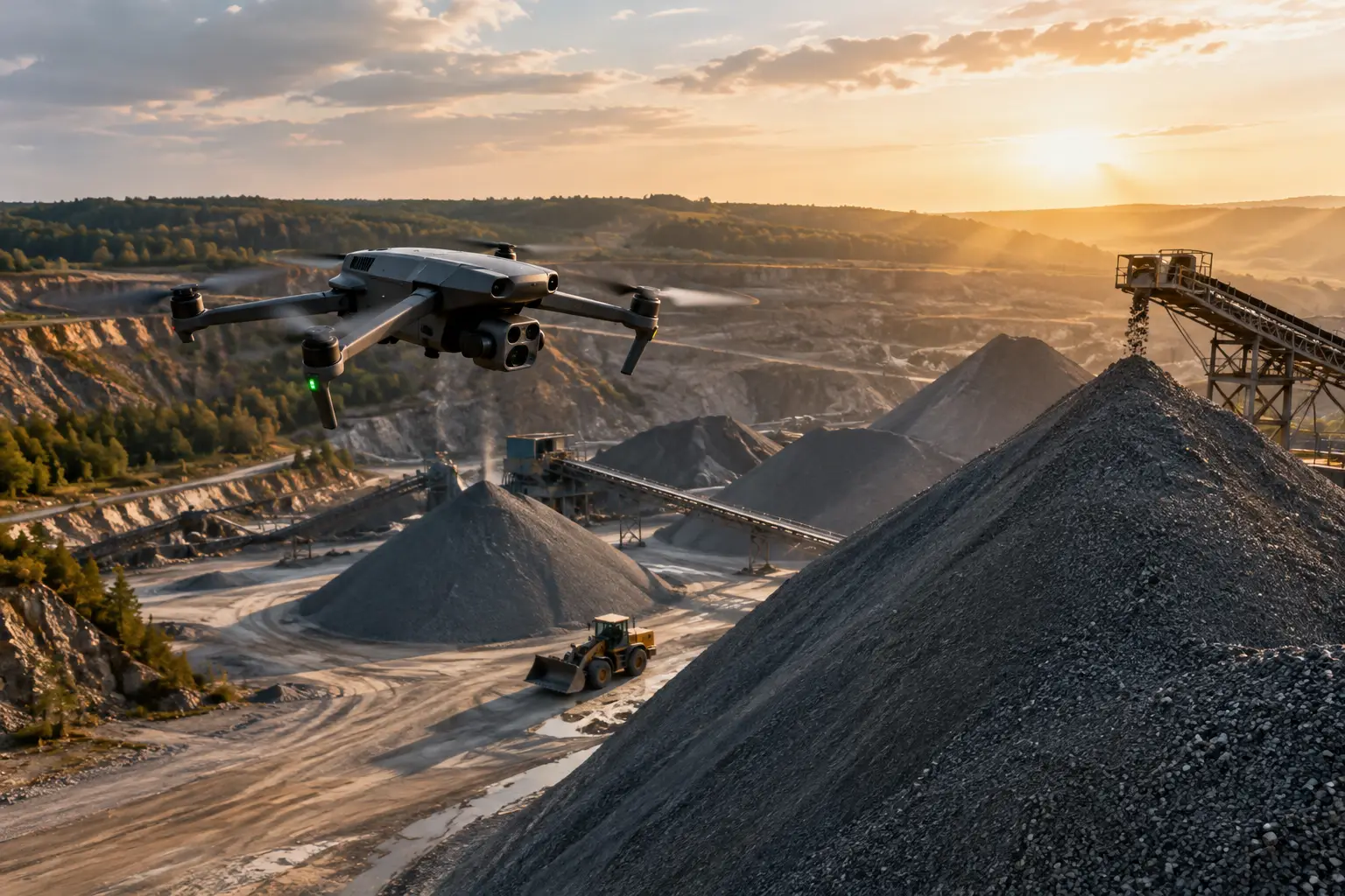
Mapping products are equally valuable when teams need to understand the full site or corridor. Orthomosaic maps provide a corrected overhead view that can support planning, documentation, and measurement tasks. Three-dimensional models can help stakeholders visualize structures, terrain, laydown areas, or inaccessible exterior surfaces. For construction tied to utility expansion or repair, repeated mapping creates a dated record of site progress and changing conditions.
Start With the Decision the Data Must Support
Aerial collection is most effective when the mission is designed around a decision. “Inspect the substation” is too broad to produce a consistent, useful result. A better scope identifies the relevant structures, components, visual conditions, coverage requirements, and reporting format. The mission may be intended to support a storm assessment, vegetation review, scheduled condition documentation, contractor coordination, claims documentation, or pre-maintenance planning.
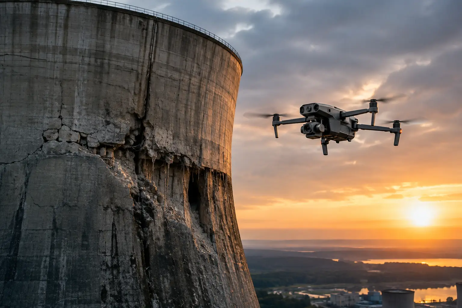
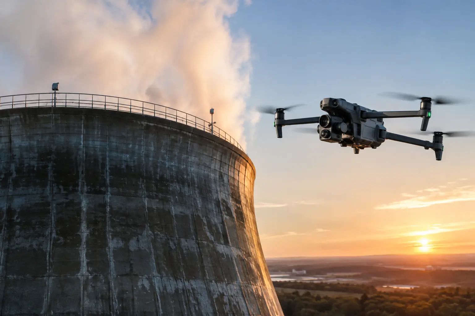
This distinction affects how the work is flown and delivered. A corridor vegetation review may require consistent coverage and sufficient detail along a defined route. A cooling tower exterior assessment may require systematic capture of elevations, transitions, and hard-to-reach areas. A post-storm utility site assessment may prioritize rapid documentation of access constraints, visible damage, standing water, displaced materials, and exposed equipment.
Before deployment, the utility or project team should establish the asset list, the boundaries of the work, relevant safety and site-access requirements, and the expected output. It is also useful to agree on naming conventions and how findings will be organized. When imagery must fit into a maintenance, GIS, project-management, or claims workflow, that requirement should shape the collection plan from the start.
Choose Data Types Based on Asset Risk and Access
No single aerial product is the right answer for every utility environment. The best mix depends on the asset, the condition being evaluated, access limitations, and the consequence of missing a developing issue.
Transmission infrastructure often benefits from a combination of broad corridor context and detailed visual coverage of poles, structures, conductors, insulators, and access conditions. The operating environment matters. Flights near energized infrastructure require disciplined planning, trained operators, safe stand-off distances, and coordination with site personnel. Aerial collection can reduce the amount of climbing or ground travel required for initial documentation, but it must be conducted within approved procedures and airspace requirements.
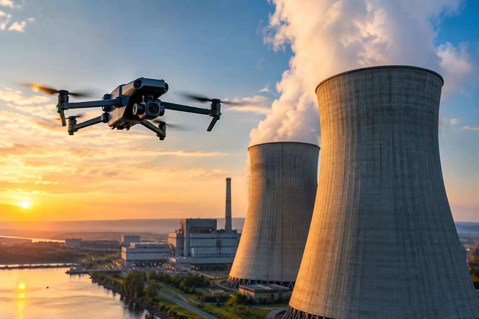
Substations and power-generation facilities may need detailed external imagery of equipment, rooftops, containment areas, cooling systems, structures, and perimeter conditions. Here, the primary advantage is often access. Elevated, congested, or hazardous locations can be documented without putting personnel into every difficult position simply to obtain an initial visual view. Site rules and operational restrictions still govern the work, particularly at critical facilities.
For pipelines and distributed assets, mapping and repeatable visual documentation can help teams review right-of-way conditions, erosion, washouts, encroachment, construction activity, or visible surface concerns. The appropriate collection interval depends on risk, weather events, construction activity, and the utility’s inspection program. Frequent flights are not automatically better. The useful cadence is the one that catches meaningful change without creating unnecessary review volume.
Accuracy Requires More Than a Good Camera
Utility organizations should look beyond image resolution when evaluating aerial-data support. Positioning accuracy, capture consistency, ground conditions, weather, lighting, flight path, and the operator’s understanding of industrial sites all affect whether the resulting information can be trusted for its intended use.
For map-based work, the required positional accuracy should be defined before collection. A general progress map and a map intended to support measurements do not have the same requirements. Where higher accuracy is needed, the workflow may call for established ground control, check points, or other project-specific methods. The deliverable should clearly state what it is designed to support and avoid implying precision beyond the collection method.
Consistency is especially important for condition monitoring. If imagery from one inspection is difficult to compare with the prior inspection because angles, distances, labels, or coverage changed, teams lose much of the value of historical documentation. Repeatable capture plans make trend review faster. They also help leadership understand whether an issue is stable, progressing, or newly observed.
Build Safety and Compliance Into the Field Plan
Utilities operate around hazards that demand disciplined field execution: energized equipment, active construction, tall structures, traffic, restricted work areas, severe weather, and complex airspace. A qualified aerial-data provider should plan around those realities rather than treating them as an afterthought.
That includes FAA Part 107 compliance, appropriate insurance coverage, site coordination, preflight risk assessment, communication protocols, and contingency planning for changing conditions. For missions near airports, controlled airspace, or sensitive facilities, authorization and operational requirements must be addressed before the work begins. The objective is not simply to get airborne. It is to collect the required data without disrupting operations or introducing avoidable risk.
This is where field experience matters. A team familiar with industrial and critical-infrastructure environments understands that access windows can change, escorts may be required, safety briefings are not optional, and operational needs take priority over a flight schedule. Air Reel Technologies approaches these assignments as documentation and inspection-support missions, with the preparation expected around high-value assets.
Make the Deliverable Easy to Use After the Flight
The final handoff should reduce work for the people who were not on site. A useful package may include organized high-resolution imagery, annotated observations, thermal files where applicable, orthomosaic maps, 3D models, and a concise inspection summary. What belongs in the package depends on the scope, but the organization should be clear enough that a maintenance manager, engineer, adjuster, or project manager can quickly locate the relevant asset and condition.
Annotations are valuable when they identify observed items without overstating their significance. For example, documentation can note visible corrosion, a damaged enclosure, vegetation proximity, standing water, or an apparent thermal variance. The appropriate internal team can then determine the next action, whether that means field verification, engineering review, repair planning, or continued monitoring.
For storm response and insurance documentation, speed matters alongside order. Teams need time-stamped visual evidence that shows conditions before debris is cleared, temporary repairs are made, or weather changes the site again. A rapid but organized aerial record can support claims review, restoration decisions, contractor coordination, and later documentation of the event.
Measure Value by Better Decisions, Not Flight Hours
Aerial data earns its place in a utility workflow when it shortens the path from observation to action. That may mean fewer unnecessary site visits, safer access to elevated or difficult areas, faster storm assessments, improved contractor oversight, or stronger documentation for capital projects and claims. The right measures vary by program, but they should connect to time, risk, maintenance planning, and the quality of the information available to decision-makers.
The most effective utility programs do not collect data because aerial collection is available. They define the condition, risk, or decision that needs better visibility, then build a repeatable scope around it. When the deliverable is planned with the end user in mind, aerial data becomes a practical part of asset stewardship rather than another set of files waiting to be reviewed.