A hot connection near the top of a substation structure, a wet area spreading across an industrial roof, or an overheating component on elevated equipment can be easy to miss from the ground. The decision between thermal aerial scans versus handheld infrared determines how quickly a team can locate the condition, how much of the asset it can document, and how much exposure the inspection requires.
For commercial, industrial, and critical infrastructure assets, this is not simply a choice between two cameras. It is a field-planning decision. Aerial thermal data and handheld infrared each have a defined role. The strongest inspection programs use the method that fits the asset, the suspected issue, site access, operating conditions, and the level of detail needed for follow-up.
Thermal Aerial Scans Versus Handheld Infrared: The Core Difference
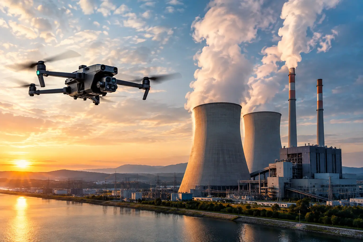
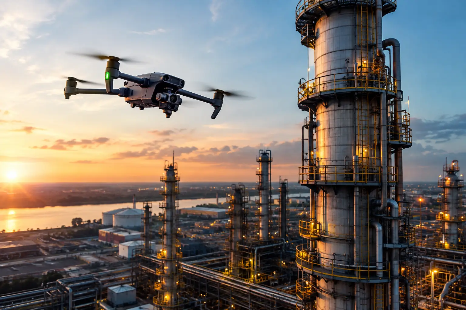
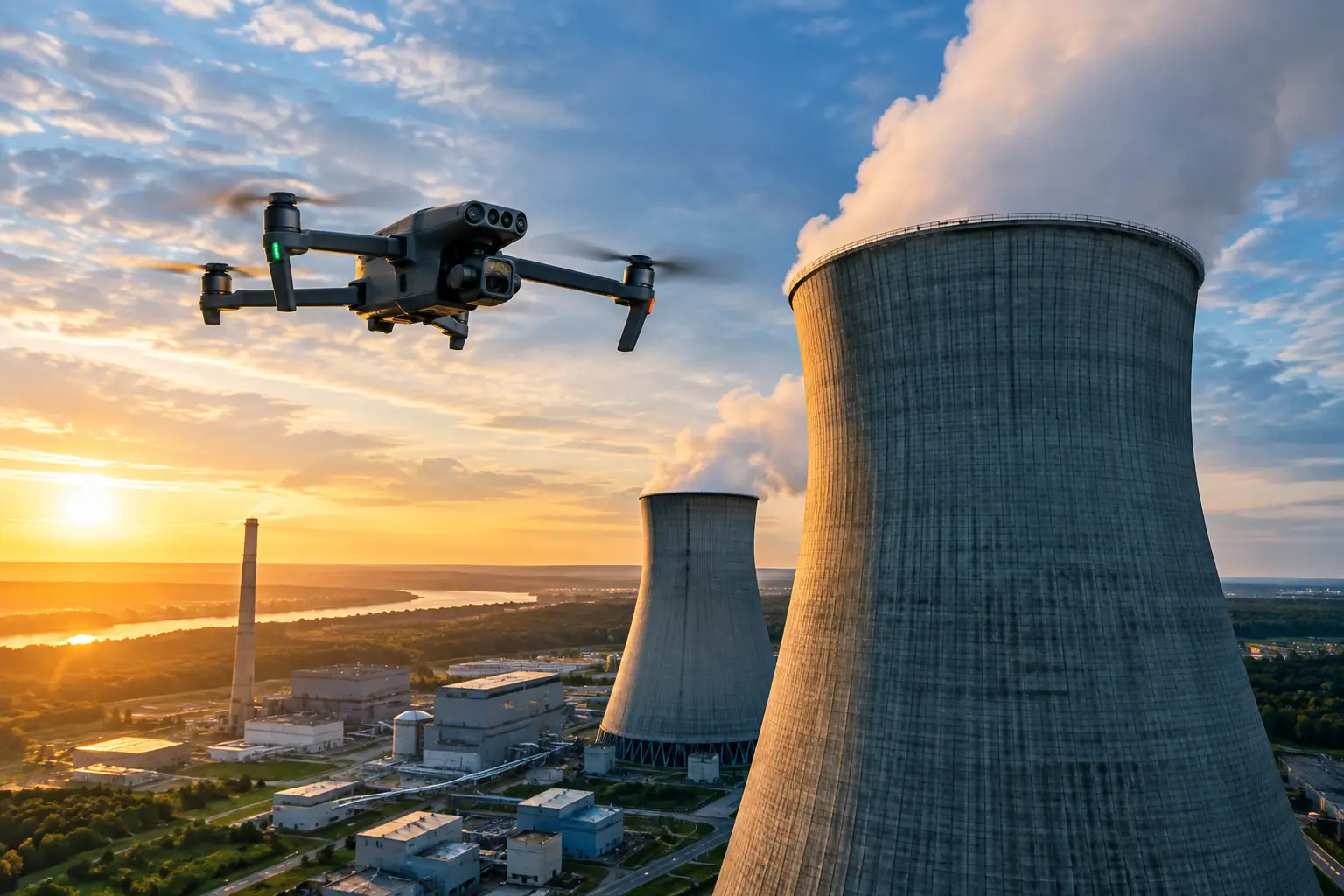
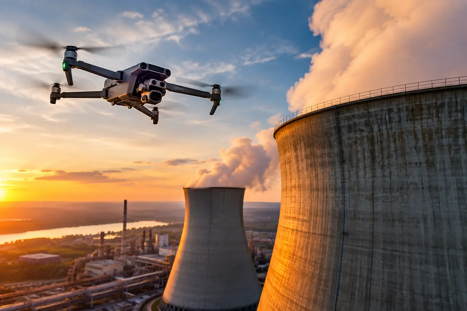
Thermal aerial scanning uses a drone-mounted radiometric thermal camera to collect temperature-related imagery from above or at standoff distance. It is especially useful when the asset is broad, elevated, hazardous to access, or difficult to see as a complete system from ground level. A planned flight can document large roof sections, solar arrays, transmission structures, cooling towers, construction areas, exterior plant components, and disaster-affected properties without putting personnel on ladders, lifts, or unstable terrain simply to gain an initial view.
Handheld infrared inspection places the thermal camera in the hands of a qualified field technician working close to the component. This method is often better for targeted confirmation, tight interior spaces, enclosed electrical equipment where permitted and safe, small mechanical assemblies, and locations where close-range observation is necessary. The operator can adjust position, inspect at multiple angles, compare adjacent components, and pair the thermal finding with direct visual observations.
The difference is therefore coverage versus proximity. Aerial work gives teams a rapid, repeatable view of the wider asset. Handheld work provides close-range verification where access is practical and justified. Neither method automatically produces a diagnosis or certifies structural condition. Both provide visual thermal evidence that maintenance, engineering, operations, safety, and insurance teams can evaluate alongside their own procedures and expertise.
When Aerial Thermal Scans Provide the Better First Look
Aerial thermal collection is most valuable when a site needs broad situational awareness without the time, cost, and risk of reaching every elevated or remote location manually. It can establish where a potential issue may be concentrated before a crew commits to access equipment, shutdown planning, or a more detailed ground inspection.
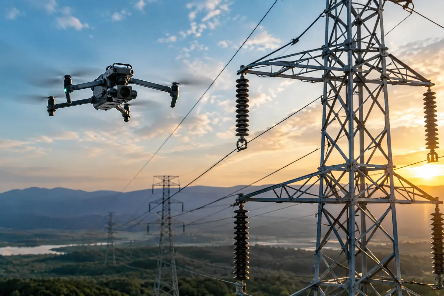
For industrial roofs, aerial imaging can identify temperature patterns associated with moisture intrusion, insulation irregularities, or areas requiring closer review. On solar installations, it can help locate modules or connections showing abnormal heat signatures under suitable operating and weather conditions. On transmission and utility infrastructure, it can support documentation of hard-to-reach components while keeping the collection team at a safer working distance.
Aerial scans also have a clear advantage in catastrophe response and insurance documentation. After a storm, fire event, or other loss, access may be limited, conditions may be changing, and decision-makers may need a documented overview quickly. Thermal imagery combined with high-resolution visual imagery can help establish the location and extent of visible concerns, prioritize field deployment, and create a defensible record of site conditions at the time of collection.
The operational benefit is not just speed in the air. It is fewer unnecessary climbs, fewer lift moves, less time spent walking large sites, and better coverage of areas that are otherwise difficult to compare in a single inspection cycle. For a construction manager, that may mean identifying areas that need attention without disrupting active work zones. For a facility manager, it may mean using a broad scan to direct maintenance resources toward the most relevant equipment or building section.
Aerial Thermal Data Has Real Limits
A drone cannot see through walls, roofing materials, equipment housings, or obstructions. It records surface temperature differences, not a complete picture of what is happening inside an asset. Reflections from the sun, sky, nearby equipment, or polished surfaces can create misleading apparent temperatures. Wind, rain, cloud cover, ambient temperature, loading conditions, camera angle, and surface emissivity can all affect the usefulness of thermal data.
Flight conditions also matter. Airspace requirements, facility procedures, weather, electromagnetic environments, and operational activity can limit where and when a drone can be used. A professional aerial team plans around these constraints rather than treating thermal collection as a simple flyover.
Where Handheld Infrared Remains Essential
Handheld infrared is often the right choice when the question is narrow and the team can safely get close to the subject. A technician examining a specific motor, panel exterior, bearing housing, pipe connection, or mechanical component may need the flexibility to inspect from several positions, compare nearby equipment, and capture contextual visual images at the same time.
Close range can improve pixel-level detail on a small target. That matters when the concern involves a compact connection, a localized heat source, or a component where the thermal difference occupies only a small portion of the image. A handheld operator can also observe sounds, vibration, physical damage, labeling, leaks, and other field conditions that thermal imagery alone cannot convey.
This does not make handheld work automatically safer or more complete. Reaching the target may require lifts, scaffolding, confined-area procedures, lockout coordination, or work near energized systems. The access plan itself can become the largest part of the inspection cost and schedule. On complex assets, sending people closer to the problem should be a deliberate decision, not the default starting point.
The Best Workflow Is Often Aerial First, Handheld Second
For many high-value assets, thermal aerial scans versus handheld infrared is not an either-or debate. It is a sequencing question. Use aerial collection to identify broad patterns, inaccessible areas, and likely priorities. Then use targeted handheld inspection where closer observation is needed and safe access is available.
Consider a large industrial roof with a suspected moisture issue. An aerial thermal scan conducted under appropriate conditions can document temperature variation across the roof field and identify areas that merit follow-up. A roofing or facilities team can then inspect selected locations on foot, perform moisture testing where appropriate, and determine the repair scope. The aerial data reduces the chance that the ground team spends its time searching blindly across the entire roof.
The same approach applies to elevated electrical and mechanical infrastructure. Aerial imagery may reveal an unusual thermal signature or a visible condition at height. Operations and maintenance personnel can review the documentation, assess urgency, and decide whether a closer inspection, planned outage, or engineering review is warranted. The drone supports the decision process. It does not replace the people responsible for making the technical determination.
Comparing Cost, Safety, and Documentation Value
A handheld inspection may appear less expensive when the target is small, accessible, and already part of a technician’s route. In that situation, mobilizing an aerial team may add unnecessary complexity. But the economics shift quickly when access requires a lift, rope access, scaffolding, extended site walks, traffic control, or repeated mobilizations across a large facility.
Aerial collection can reduce the labor required to obtain initial coverage, particularly on large roofs, tall towers, transmission corridors, cooling structures, and widespread disaster sites. It can also produce a consistent visual record that is easier to compare over time. Repeatable flight planning, when site conditions allow, helps teams observe changes in the same asset zones across project phases or maintenance cycles.
Documentation quality should be judged by more than image appearance. A useful deliverable identifies the asset or location, preserves the original collection context, pairs thermal and visual imagery where needed, and organizes findings so the receiving team can act on them. Clear labeling, location references, date and time records, flight documentation, and professional field procedures matter as much as the thermal palette on the image.
Selecting the Right Method for the Asset
Start with the decision that needs to be made. If the team needs to screen a large, elevated, remote, or hazardous area, aerial thermal imaging is often the practical first step. If the team needs close examination of a known component in an accessible location, handheld infrared may be more appropriate. If a broad scan identifies an area of concern, a follow-up ground inspection can provide the additional context needed for maintenance or engineering decisions.
The inspection plan should also account for operating conditions. Thermal patterns are meaningful only when the asset and environment create conditions suitable for interpretation. Electrical load, process temperature, solar exposure, building occupancy, weather, and time of day can all influence the result. A disciplined provider discusses these requirements before deployment, rather than promising useful thermal findings under any condition.
For complex facilities, the most productive question is not which method is better in the abstract. It is which method gives the operations team the right evidence while controlling access risk, limiting disruption, and preserving a usable record. That is where experienced aerial inspection support earns its value.
Air Reel Technologies approaches thermal collection as operational documentation for demanding assets, with FAA Part 107-certified flight operations and field procedures built around safety, site coordination, and usable deliverables. The right image is not the one that looks most dramatic. It is the one that helps the responsible team decide what to inspect next.