A substation documentation planning guide should begin before a crew arrives on site or a drone is launched. The difference between useful documentation and a folder of disconnected images is usually decided during planning: what assets matter, what decisions the data must support, how the work will be performed safely, and how the final deliverables will be organized for the people who need them.
For utilities, engineering firms, facility operators, and contractors, substations combine high-value equipment, restricted work areas, active operations, and changing maintenance priorities. A disciplined documentation plan gives operations and engineering teams a current visual record without creating unnecessary disruption or sending personnel into exposure-prone areas simply to obtain routine imagery.
1. Define the Operational Question First
Documentation is not a single deliverable. A capital project team may need progress records of a substation expansion. A maintenance group may need detailed imagery of buswork, insulators, breakers, switches, transformers, or control-house exteriors. After a severe weather event, an asset owner may need a rapid, organized record of visible conditions to support damage assessment, restoration planning, or an insurance claim.
Start by stating the operational question in plain language. For example: Has construction progressed according to the current schedule? Are there visible changes at specific equipment locations? What exterior conditions were present after the event? Which areas require a closer review by qualified personnel?
That question determines the capture method, image resolution, vantage points, flight sequence, and reporting format. It also prevents a common failure: collecting broad aerial coverage when the real requirement is traceable documentation of a small number of named assets.
2. Set Scope by Asset, Area, and Condition
A useful scope identifies both what will be documented and the standard by which coverage will be judged. “Document the substation” is too broad for reliable field execution. A better scope divides the facility into practical zones, such as the switchyard, transformer pads, transmission and distribution tie-ins, control building, access roads, perimeter fencing, drainage areas, and active construction limits.
Within those areas, identify the equipment or conditions that require detailed visual coverage. This might include transformer radiators, breaker cabinets, disconnect switches, relay-house penetrations, grounding components visible from approved vantage points, structural steel, foundations, or security infrastructure. The plan should use the owner’s existing naming conventions whenever possible so images can be matched to equipment records and work orders.
Scope also needs boundaries. Aerial documentation can support inspection and engineering workflows, but it does not certify equipment condition or establish structural integrity. If imagery reveals an apparent issue, the plan should define the escalation path: who receives the finding, how it is labeled, and which qualified team evaluates it.
3. Coordinate Access, Safety, and Airspace Early
Substations are not routine flight environments. Active electrical infrastructure, overhead conductors, radio-frequency considerations, site-specific access rules, nearby airports, weather exposure, and ongoing contractor activity can all affect the work plan. Coordination must happen early enough to adjust the mission rather than forcing last-minute decisions in the field.
The documentation plan should establish the site contact, work window, access requirements, required safety orientation, communication method, emergency procedures, and areas that are off limits. It should also clarify whether the site will remain energized, whether switching activities are scheduled, and whether a site escort or utility representative is required.
Airspace review is equally practical. FAA Part 107 compliance, airspace authorization where applicable, and site-specific operational controls are part of responsible planning. The best flight plan is not necessarily the shortest route. It is the route that captures the required data while maintaining appropriate clearance, avoiding interference with operations, and preserving a clear response plan if conditions change.
Weather deserves more than a quick forecast check. Wind can affect image sharpness and aircraft control near structures. Rain, haze, glare, and low-angle sun can hide details or create misleading visual conditions. For thermal work, ambient temperature, solar loading, wind, equipment load, and the time of day affect what the data can reasonably show. Planning should account for those constraints rather than treating thermal imagery as a universal answer.
4. Choose Deliverables That Match the Decision
The right deliverable depends on how the documentation will be used after collection. High-resolution still imagery is often the clearest option for asset-specific visual records. Orthomosaic maps can support site layout reviews, progress tracking, and measurements across a defined construction area. A 3D model may help teams visualize equipment placement, clearances, earthwork progress, or changes across a larger project footprint.
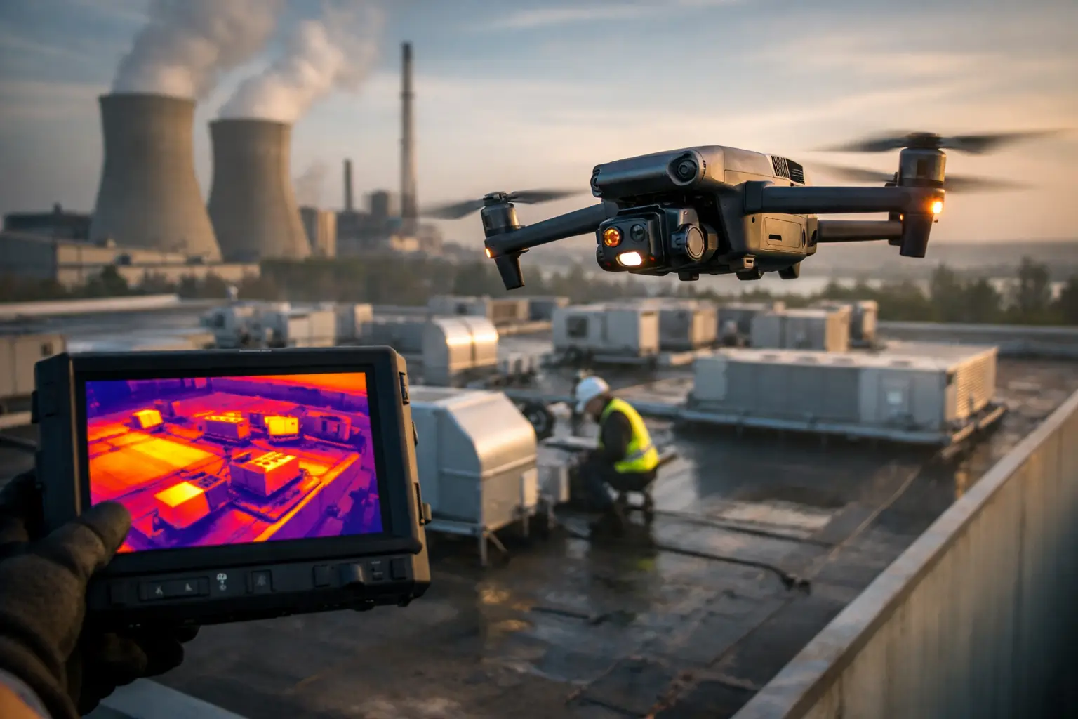
Thermal imagery can support maintenance and inspection teams by identifying temperature variations that may warrant further review. Its value depends on capture conditions and the operating state of the equipment. Thermal results should be presented with relevant context, including the asset viewed, capture time, environmental conditions, and any limitations that affect interpretation.
For a recurring documentation program, consistency is often more valuable than a one-time collection of dramatic views. Establish repeatable image locations, direction of travel, altitudes where appropriate, naming conventions, and coverage standards. This lets teams compare conditions over time instead of trying to reconstruct the prior mission from unorganized files.
A strong package may include several coordinated outputs:
- Asset-labeled high-resolution photographs for detailed review
- Overview imagery and orthomosaic mapping for site context
- Thermal imagery when conditions and objectives support its use
- A concise field report identifying coverage, exceptions, and observations requiring follow-up
The purpose is not to create more files. It is to give operations, maintenance, engineering, project management, and claims teams documentation they can find, understand, and use.
5. Build an Asset-Based Capture Plan
Once scope and deliverables are defined, translate them into a capture plan. Each required asset or zone should have a planned set of views: overview, approach, side elevation where relevant, identifying details, and contextual imagery that shows the equipment’s location within the yard. The level of detail should match the operational need and approved access conditions.
For a construction project, the plan may prioritize consistent wide-area coverage, material staging, foundation work, equipment delivery, trenching, and schedule-critical areas. For maintenance documentation, the plan may focus more tightly on specific equipment assemblies and known concern locations. For storm or catastrophe response, speed matters, but so does a systematic record that documents access conditions, visible debris, damaged fencing, standing water, component displacement, and the broader context around each observed condition.
Use a capture matrix when multiple assets, locations, or deliverables are involved. It should identify the asset name, required view, expected file label, capture priority, and whether a thermal or mapping pass is needed. This is particularly valuable when the site contains similar equipment bays that can otherwise be confused during later review.
6. Plan File Management Before Collection Begins
Field data loses value quickly when filenames, folders, and maps do not relate to one another. The documentation plan should specify how files will be named, where they will be stored, what metadata must be retained, and how the client will receive the final package.
A practical naming structure usually includes the site name or code, date, asset identifier, view or direction, and image sequence. For example, a transformer image should be distinguishable from a general yard overview without relying on a reviewer’s memory. If the client uses asset management, engineering, or project management systems, align the labels with those systems where feasible.
Quality control should occur before demobilization whenever possible. Review images for focus, exposure, coverage gaps, duplicate asset labels, and any data that does not meet the agreed standard. A missing view may be easy to recapture while the crew is still on site and much more expensive to address later.
7. Establish Reporting and Follow-Up Rules
Documentation only supports decisions when recipients know what they are looking at and what happens next. The final report does not need to overstate conclusions. It should clearly identify the mission date, coverage areas, conditions that affected collection, deliverables provided, and any visible observations that merit review by the appropriate utility, maintenance, engineering, or safety personnel.
For recurring work, establish a comparison process. Teams may want a monthly construction record, a post-storm baseline comparison, or a periodic visual documentation set for priority assets. Repeatability makes trends easier to identify, whether that trend is construction progress, recurring drainage issues, vegetation encroachment near approved observation areas, or a change in visible exterior condition.
The plan should also define urgency. Not every observation needs the same response. A clearly documented condition that could affect operations may require immediate notification through the client’s designated chain of command, while routine progress imagery can follow the standard delivery schedule. Clear escalation rules keep the drone services provider in the appropriate support role while ensuring the right client team receives time-sensitive information.
For complex substations, careful planning is not administrative overhead. It is what turns aerial collection into reliable operational documentation. When the scope, safety controls, capture sequence, and file structure are settled before the field team deploys, the resulting data is easier to trust, compare, and act on when decisions cannot wait.