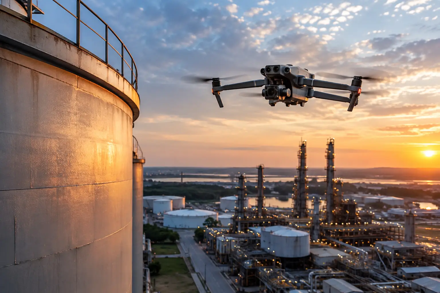
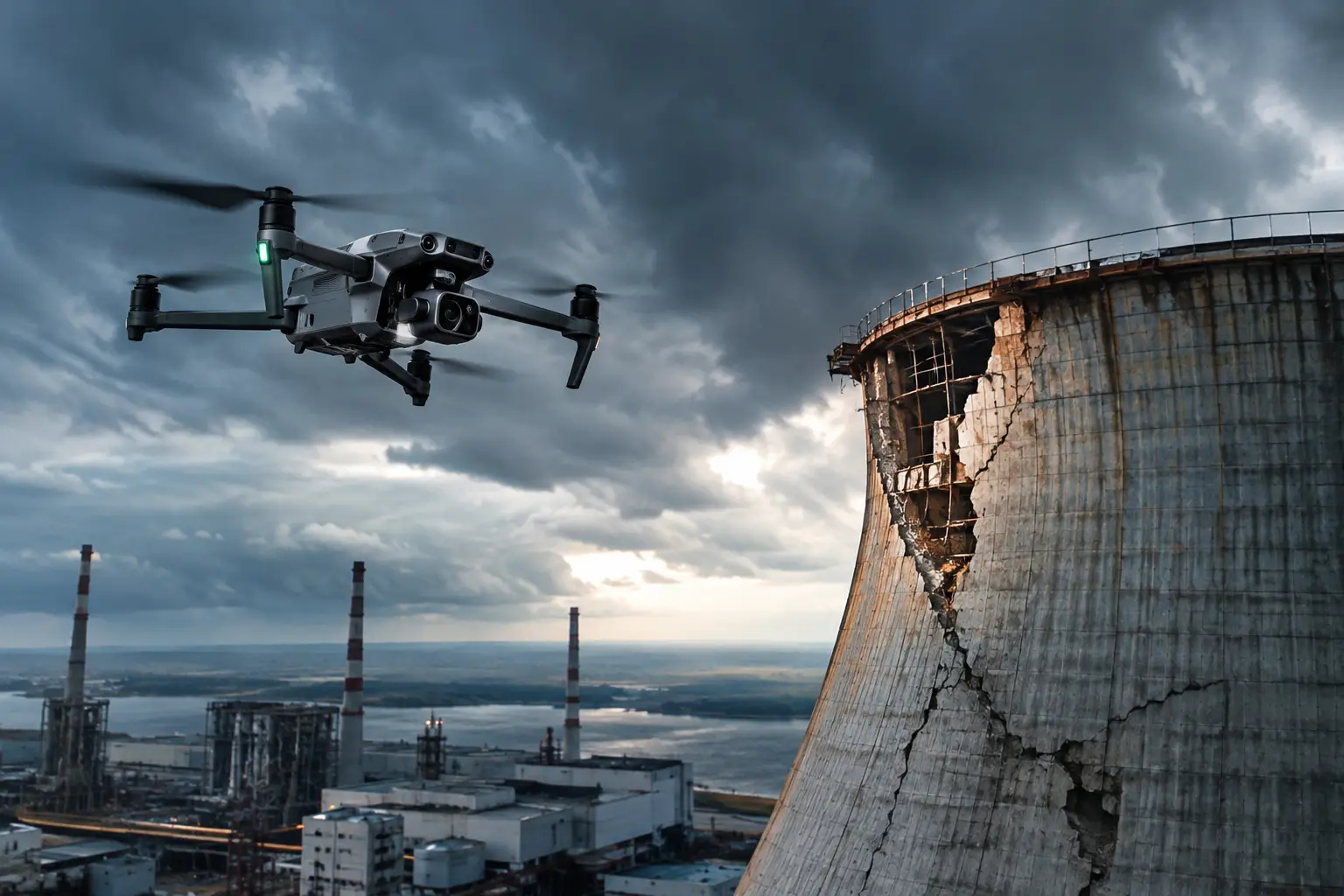
A storm can leave an industrial roof, construction site, transmission corridor, or telecom asset looking obviously damaged. The harder problem is proving what happened, where it happened, how extensive it is, and what condition existed when the evidence was captured. A strong storm damage documentation example shows how to turn scattered photos and field observations into a record that claims teams, facility managers, contractors, and engineers can actually use.
For high-value commercial and infrastructure assets, documentation is not simply a folder of images. It is a time-stamped operational record. It should help the people responsible for claims, repairs, safety planning, and recovery make decisions without sending every stakeholder into a hazardous or restricted area.
What Good Storm Damage Documentation Must Show
The best documentation answers practical questions in a logical order. What weather event occurred? When was the site assessed? Which areas were accessible, restricted, or unsafe to approach? What visible damage was observed? What requires follow-up by the appropriate repair, engineering, or operations team?
That distinction matters. Aerial imagery and field documentation can identify visible conditions such as missing roofing material, displaced equipment, ponding water, debris, damaged cladding, compromised fencing, downed conductors, or erosion. It does not replace an engineer’s evaluation, determine structural integrity, or certify a facility for operation. Its value is giving qualified decision-makers a clear, organized visual record before they commit resources.
A defensible file also preserves context. A close-up image of torn membrane may be useful, but it is more useful when paired with an overview that shows its position on the roof, a map reference, capture date, and a consistent file name. Context reduces disputes and prevents the common problem of teams trying to identify an image location days or weeks after the event.
Storm Damage Documentation Example: Commercial Facility Roof
Consider a severe wind and hail event affecting a 220,000-square-foot industrial facility. The facility manager needs to understand visible roof conditions, document the loss for the carrier, and give the roofing contractor enough information to plan a safe follow-up inspection. Ground access is limited because the roof has multiple elevations, rooftop units, and areas with suspected wet insulation.
A disciplined documentation package could include the following components.
1. Incident and site record
The first page establishes the chain of information. It identifies the facility, asset owner, inspection date and time, weather event date, site contact, and the reason for the assessment. It also records relevant operating conditions, such as restricted roof access, active loading areas, or sections isolated by the facility safety team.
Example entry:
Site: North Distribution Facility, Building A Asset type: Low-slope commercial roof and rooftop mechanical equipment Weather event: Wind and hail event reported May 14 Documentation date: May 16, 8:10 a.m. to 11:40 a.m. Scope: Aerial visual documentation of accessible exterior roof surfaces, rooftop equipment, perimeter edges, and adjacent grounds Limitations: No physical roof probing, no destructive testing, and no assessment of concealed conditions or structural capacity
This opening information prevents the report from implying more than the work performed. That is especially important when the file may be reviewed by adjusters, consultants, contractors, or legal teams with different responsibilities.
2. Site overview and asset location
The package should include a wide-area aerial overview showing the building footprint, roof sections, access points, adjacent structures, drainage paths, and staging areas. An orthomosaic map can be valuable when the site is large or when multiple damage zones must be coordinated among different teams.
Each reported condition should use a repeatable location reference. Depending on the asset, that may be a roof grid, elevation designation, tower sector, structure number, mile marker, or GPS coordinate. The point is not to create unnecessary complexity. It is to ensure that a contractor can locate the same condition without guessing.
For the industrial roof example, the overview may label Roof Sections A through F and identify a north arrow and scale. The report can then state that lifted membrane seams were observed in Section C, approximately 40 feet east of Rooftop Unit 3, rather than relying on a vague note such as “damage near the middle.”
3. Condition-level imagery
Condition imagery should follow a sequence: overview, medium-range context, then close detail. This makes it easier to establish both location and visible condition. Capturing only close imagery can make damage look dramatic while leaving its actual extent unclear. Capturing only broad imagery can hide details that matter for repair planning or claims review.
A useful photo record for each condition includes an image ID, location, direction of view, capture time, and a concise observation. Observations should be factual. Avoid unsupported conclusions such as “storm caused total roof failure” unless that determination has been made by the responsible qualified professional.
Example observation:
Image ID: A-047 Location: Roof Section C, east of RTU-3 Direction: Looking southwest Visible condition: Approximately 18 linear feet of membrane seam appears lifted, with exposed substrate visible at the seam edge. Loose material is present in the adjacent drainage path. Recommended action: Restrict unnecessary foot traffic in the area and refer condition to the roofing contractor and facility maintenance team for follow-up.
The language is clear, specific, and appropriately limited. It records what can be seen without claiming to diagnose concealed moisture intrusion, wind uplift resistance, or structural performance.
4. Damage log with priorities
A damage log turns images into an actionable work list. It should identify the condition, its location, associated image IDs, operational relevance, and next responsible party. Priority categories work best when they relate to actual site decisions rather than dramatic language.
For example, an immediate priority may include loose rooftop material near an air intake, displaced guarding around energized equipment, or debris obstructing emergency access. A near-term priority may include damaged flashing, drainage concerns, or exterior envelope damage that needs contractor review before the next rain event. Routine follow-up may include cosmetic cladding impacts or conditions that are documented but do not presently affect operations.
The appropriate priority depends on the asset and site conditions. A missing panel on a warehouse facade, a damaged insulator on a utility structure, and a torn roof membrane may have very different consequences. The report should reflect the operational context, not apply a one-size-fits-all label.
5. Supporting data and deliverable control
Raw image files, annotated photographs, maps, video when useful, and thermal imagery when conditions support meaningful collection should be organized under one project record. File naming should be consistent and traceable, such as `FacilityA_2026-05-16_RoofC_IMG-A047`.
Thermal imagery can help identify temperature differences that may warrant further investigation, but it is sensitive to weather, solar loading, surface condition, and capture timing. It should be presented as supporting visual data, not proof of a specific defect. The same caution applies to 3D models: they can improve planning and communication, but their accuracy and appropriate use should be understood before measurements drive repair decisions.
Why Aerial Documentation Changes the Early Response
Immediately after severe weather, the first challenge is usually access. Crews may be dealing with unstable surfaces, standing water, debris, active operations, traffic, or damaged infrastructure. Sending personnel into every affected area before documenting the scene can increase exposure and slow the overall response.
Professional aerial collection can provide broad visual coverage while reducing unnecessary climbs, roof walks, and repeated site visits. It also creates a common operating picture for stakeholders who are not physically on site. An adjuster can review damage zones, a contractor can plan equipment and labor, and a facility manager can identify areas that may need temporary protection or restricted access.
Speed matters, but disciplined collection matters more. Images should be captured under safe operating procedures, with site coordination and applicable airspace requirements addressed before flight. For complex commercial, industrial, or critical infrastructure environments, the goal is reliable documentation that fits the recovery workflow, not hurried footage that creates more questions than answers.
Common Documentation Failures to Avoid
The most expensive documentation gap is often not missing imagery. It is missing organization. Teams may collect hundreds of photos without location labels, capture dates, or a clear distinction between event-related observations and pre-existing conditions. That forces claims and repair teams to reconstruct the story after the fact.
Another problem is waiting too long. Cleanup, temporary repairs, rain, and normal site activity can alter the condition of the asset. Initial documentation should occur as soon as it is safe and practical, followed by additional collection if conditions change or repairs uncover new information.
Finally, avoid treating a single flight as the entire record. A post-storm baseline is valuable, but comparison against pre-loss construction progress imagery, prior inspection data, maintenance records, or earlier orthomosaic maps can provide crucial context. If no baseline exists, the report should state that limitation plainly.
For organizations managing large losses across the Southeast or nationwide, Air Reel Technologies supports professional aerial documentation with high-resolution imagery, mapping, thermal data when appropriate, and organized deliverables built for operational and claims workflows. The value is not simply seeing damage from above. It is giving the right teams a clear record they can use while conditions are still fresh.
The best time to define documentation standards is before the next storm arrives. Establish location references, file conventions, access procedures, and decision owners now, so that when severe weather hits, the response begins with evidence instead of uncertainty.