Do You Have A Project We Can Help With?
Drone Orthophotos, done one day, available for viewing the next day. Call Us Now! (404) 500-6133
An orthophoto, orthophotograph or orthoimage is an aerial photograph or satellite imagery geometrically corrected (“orthorectified”) such that the scale is uniform: the photo or image has follows a given map projection. Unlike an uncorrected aerial photograph, an orthophoto can be used to measure true distances, because it is an accurate representation of the Earth’s surface, having been adjusted for topographic relief, lens distortion, and camera tilt.
Orthophotographs are commonly used in geographic information systems (GIS) as a “map accurate” background image. An orthorectified image differs from “rubber sheeted” rectifications as the latter may accurately locate a number of points on each image but “stretch” the area between so scale may not be uniform across the image. A digital elevation model (DEM) is required to create an accurate orthophoto as distortions in the image due to the varying distance between the camera/sensor and different points on the ground need to be corrected. An orthoimage and a “rubber sheeted” image can both be said to have been “georeferenced” however the overall accuracy of the rectification varies. Software can display the orthophoto and allow an operator to digitize or place linework, text annotations or geographic symbols (such as hospitals, schools, and fire stations). Some software can process the orthophoto and produce the linework automatically.
Production of orthophotos was historically achieved using mechanical devices.
An orthophotomosaic is a raster image made by merging orthophotos — aerial or satellite photographs which have been transformed to correct for perspective so that they appear to have been taken from vertically above at an infinite distance. Google Earth images are of this type.
The document (digital or paper) representing an orthophotomosaic with additional marginal information like a title, north arrow, scale bar and cartographical information is called an orthophotomap or image map. Often these maps show additional point, line or polygon layers (like a traditional map) on top of the orthophotomosaic. A similar document, mostly used for disaster relief, is called a spatiomap.
While Google Earth is great for a quick reference, it is sometimes not quite enough to get the job done. For changing construction sites, an updated Orthophoto is crucial for site planning and to show progress to investors. CAD overlays on a Orthorectified image, can very easily determine if everything is in the right spot. A minor mistake on the location of some equipment can cost thousands to rectify and slow down a project. Why not just call us out and have us do the work for you. We can take the CAD plans and overlay them for you, then return the image so all you have to do is confirm the positions. Less worry and less work means more time for you to make sure the job gets done. Everyone wins when the job completes on time, every time.
Here is the link to the full size Orthomosaic we just captured. Zoom down to see all the extra detail. —> EasyZoom
An Orthophoto taken of some private property


An Orthohpto taken 3 weeks apart to show site changes


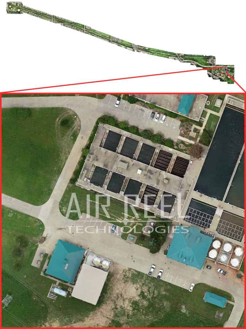
A very large linear Orthophoto of a pipe route from one plant to another. Used to plan equipment and better overall of the project than satellite providers

3D Models

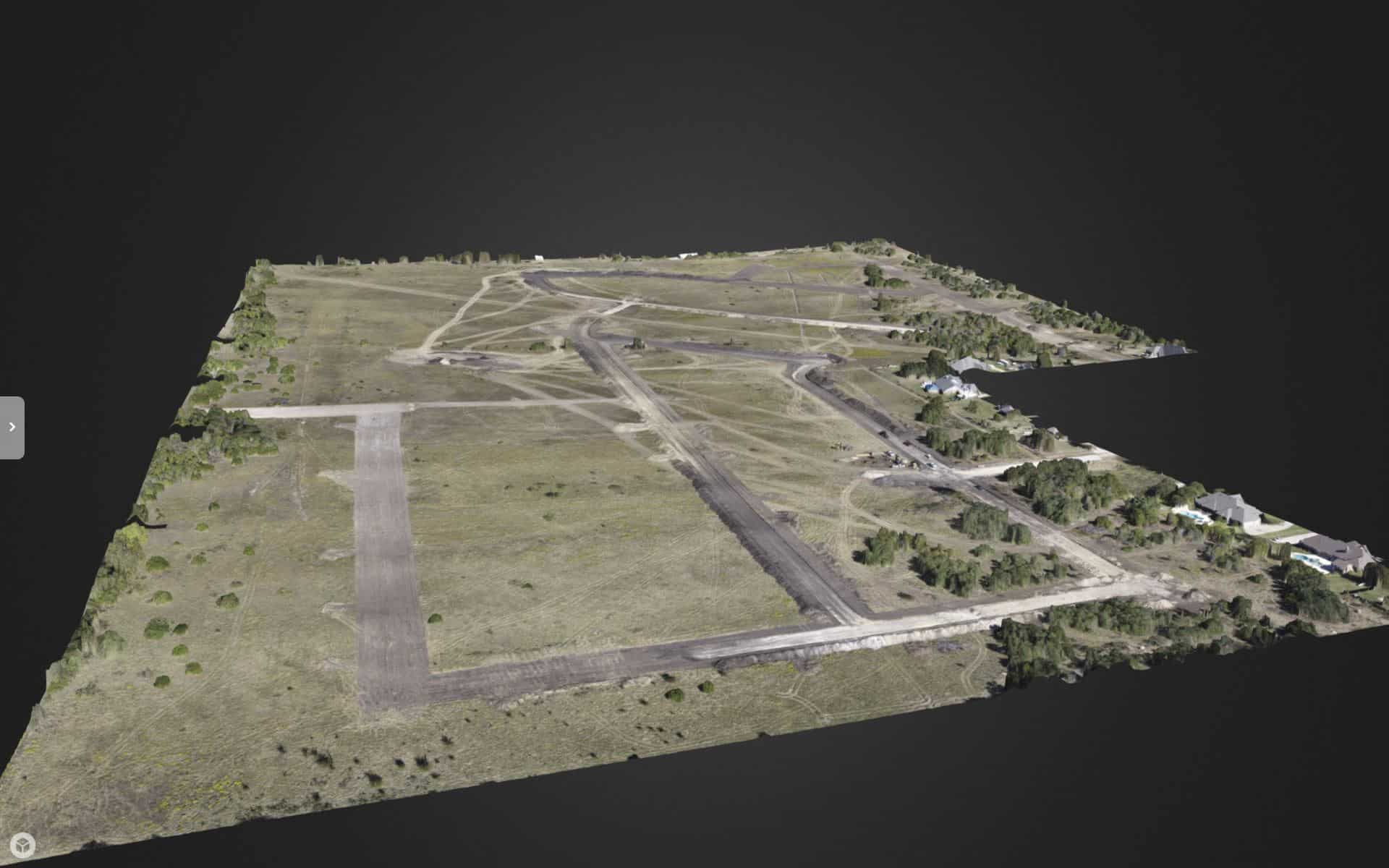
3D models can be produced from just a short time on site. Then we take that information to our servers for processing. Usually just an overnight process and the client has the result the next day by noon. Depending on the project, the 3D result can be very accurate and detailed. If you just need a quick and easy digital asset representation, the quality is good and the turnaround is much faster than a full survey by a licensed surveyor. Give us a call and give us a chance to see what we can do for you. (404) 500-6133
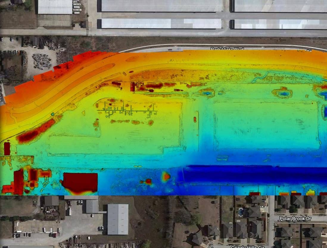
3D Digital Elevation Model

Process of Gathering 3D images

Get A Quote Today
Please fill out this form to let us know how we can help you better.
