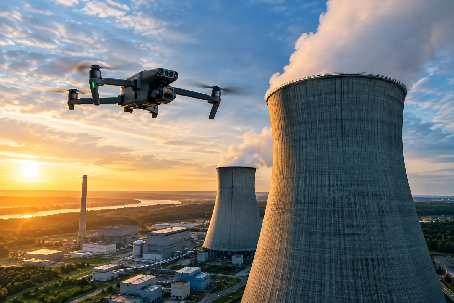
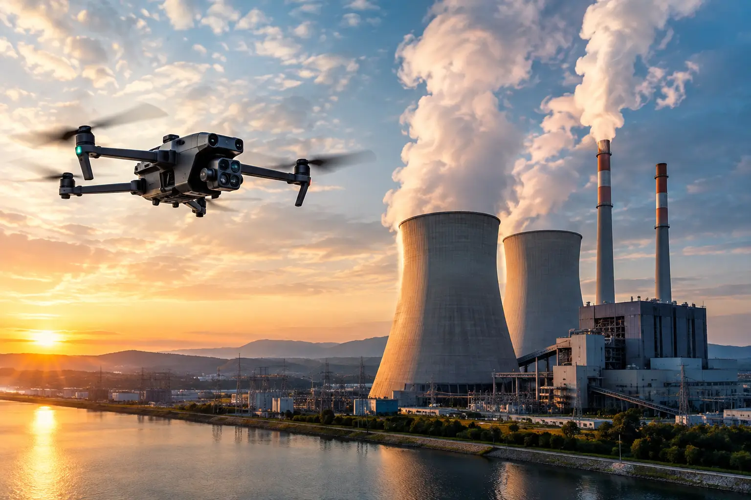
A missing visual record can turn a routine maintenance question into a costly field walkdown. When equipment changes condition, contractors mobilize for an outage, or an incident triggers a review, power plant visual documentation gives operations and engineering teams a defensible point of reference instead of relying on memory, scattered photos, or incomplete notes.
For power generation facilities, documentation is not simply a collection of aerial images. It is a planned record of asset condition, work progress, access constraints, and visible changes over time. When captured consistently, it helps teams prepare work scopes, communicate across departments, preserve evidence, and direct attention to areas that may require closer evaluation.
Why Power Plant Visual Documentation Matters
A power plant is a dense operating environment with high-value equipment, restricted areas, changing work conditions, and limited tolerance for unnecessary disruption. Traditional documentation often depends on personnel reaching elevated, remote, or difficult-to-access areas. That can require scaffolding, lifts, rope access, shutdown coordination, or repeated site visits.
Aerial data collection can reduce the amount of exposure required to document exterior conditions. High-resolution imagery can capture cooling towers, stacks, rooftops, pipe racks, turbine buildings, containment exteriors, switchyards, and other assets from angles that are difficult to obtain from the ground. The result is a clearer record for the people responsible for maintenance, planning, engineering support, insurance, and operations.
The value is strongest when imagery is collected before a decision is urgent. A current baseline makes it easier to identify what has changed after severe weather, contractor activity, an equipment event, or a long maintenance cycle. It also gives teams a common visual reference when people are working from different locations or shifts.
Visual documentation does not replace a qualified engineer’s assessment, a formal inspection program, or site-specific safety procedures. It supports those functions by providing organized, repeatable visual evidence that helps the right people focus their effort.
What a Useful Documentation Program Includes
The quality of the deliverable depends on more than camera resolution. A useful program begins with the operational question: What does the facility need to see, compare, verify, or preserve?
For an outage, the focus may be contractor progress, laydown areas, access routes, roof work, external equipment, and pre-existing conditions. For asset management, the focus may be periodic views of known problem areas, exterior surfaces, drainage paths, insulation systems, structural steel, or cooling tower components. After a weather event, teams may need broad site coverage quickly, followed by closer documentation of affected assets.
A complete scope commonly combines several types of visual data:
- High-resolution still imagery for detailed exterior condition records.
- Repeatable oblique views that allow teams to compare the same asset areas over time.
- Orthomosaic mapping for large sites, work zones, laydown yards, and access planning.
- 3D models for facility context, exterior coordination, and measurement support where appropriate.
- Thermal imagery for identifying temperature differences that warrant review in the proper operating context.
Not every facility needs every deliverable. A simple annual exterior record may only require organized still imagery and a clear asset index. A major capital project or outage can benefit from maps, models, repeat flights, and progress documentation. The right scope depends on the asset, access limitations, operating conditions, and the decisions the data must support.
Repeatability Is More Valuable Than One-Time Coverage
One aerial mission can provide useful evidence. A repeatable documentation process provides trend visibility.
When similar camera positions, flight paths, dates, naming conventions, and asset references are used from one collection period to the next, teams can compare like with like. This makes changes easier to recognize: a developing roof issue, deteriorating exterior cladding, construction progress, storm debris, changes around drainage, or contractor activity near critical equipment.
Consistency also improves handoffs. A maintenance planner reviewing images months later should not have to guess where an image was taken or which side of a structure it shows. Organized folders, labeled asset views, location references, and capture dates turn imagery into an operational record rather than an archive of disconnected files.
Planning Around a Live Facility
Power plants are not generic drone environments. Flight planning must account for facility rules, airspace, weather, electromagnetic conditions, site traffic, active work, security requirements, and the proximity of critical equipment. The collection plan should be coordinated with the appropriate site contacts before field deployment.
This coordination matters as much as the flight itself. The site team may need to identify restricted zones, planned lifts, steam plumes, emissions, vehicle routes, outage boundaries, and areas where work must not be interrupted. Some structures are best documented during a planned window. Others may require a different capture angle, ground support, or a phased approach because of operational conditions.
A disciplined provider should arrive with a defined scope, follow applicable FAA requirements, carry appropriate insurance, and work within the facility’s access and safety procedures. Air Reel Technologies supports this type of field execution with FAA Part 107-certified operations, professional insurance coverage, and experience documenting complex industrial and critical infrastructure assets.
Thermal Data Requires Context
Thermal imagery can add a useful layer to power plant visual documentation, but it should be handled carefully. A thermal image records apparent surface temperature patterns, not a diagnosis of equipment condition. Reflections, emissivity, viewing angle, ambient temperature, load conditions, insulation, and weather can all affect what the image shows.
Used properly, thermal data can help teams identify areas for further evaluation, such as an unusual heat pattern on an exterior surface or a difference between comparable components. To make the data useful, capture conditions should be documented and reviewed alongside visual imagery and operating context. The appropriate facility, maintenance, or engineering personnel can then determine whether additional investigation is needed.
Where Documentation Delivers the Most Value
The best use cases are tied to a real workflow. For outage managers, visual records support pre-outage planning, contractor coordination, progress monitoring, and closeout documentation. For facility managers, they create a current exterior condition record without repeatedly exposing staff to elevated or difficult locations.
For engineering teams, organized imagery can provide context before a site visit and help communicate observed conditions across disciplines. It is particularly useful when an engineer needs to understand asset layout, exterior access, adjacent equipment, or the scale of a visible issue before directing further work.
Insurance and risk teams benefit from clear pre-loss and post-loss records. Following wind, hail, flooding, or other severe events, prompt aerial documentation can establish visible conditions across a large facility while access, safety, and site authorization remain under control. The imagery may support claims review, recovery planning, contractor discussions, and internal reporting.
Construction teams also gain value during plant upgrades and expansions. Orthomosaic maps and recurring aerial progress records can show work areas, material staging, access routes, roof activity, and the relationship between new construction and operating assets. This is especially helpful when project stakeholders need a current picture without adding unnecessary site visits.
Common Gaps That Reduce the Value of Imagery
The most common problem is collecting images without a documentation standard. Files arrive with generic names, no asset reference, inconsistent angles, and no indication of when or why the photos were taken. The images may look sharp, but they are difficult to use six months later.
Another gap is treating aerial coverage as a substitute for a field program. Aerial imagery has limits. Some defects are concealed, interior components are not visible, and line-of-sight conditions can restrict coverage. Teams should use the data to improve planning and target follow-up work, not to make claims beyond what the imagery can support.
Finally, timing matters. Capturing after a problem has escalated is still useful, but a baseline captured before the event is often more valuable. Facilities that schedule periodic documentation can respond with better context when questions arise.
Build Documentation Into the Operating Rhythm
A practical program does not need to create more administrative work. It should fit existing outage schedules, maintenance cycles, capital projects, and risk-management procedures. Start with the assets where access is difficult, where visible condition changes matter, or where a current record would save time during an incident or review.
Then define what consistency means for those assets: the preferred views, capture frequency, resolution needs, file organization, and stakeholders who need access to the results. The goal is not to collect the most images. It is to collect the right visual record before the next decision has to be made under pressure.
The most useful documentation is the kind a plant team can pull up quickly, understand immediately, and trust when the field conditions are no longer the same.