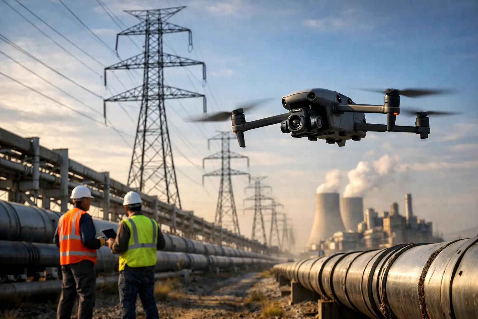
A single missed defect on a transmission structure can turn into an outage, an emergency dispatch, or a safety event that costs far more than the inspection itself. That is why power line drone inspection has become a practical tool for utilities, engineering teams, and infrastructure owners who need better visibility across long corridors without sending crews into unnecessary risk.
For power transmission and distribution assets, the value is straightforward. Drones help teams document conditions faster, inspect hard-to-reach components with less exposure, and collect imagery that can be reviewed, shared, and compared over time. The goal is not to replace engineers, linemen, or utility inspectors. It is to give them better field intelligence so maintenance and operational decisions are based on current visual evidence rather than assumptions.
Why power line drone inspection is gaining ground
Traditional line inspections still have a place. Ground patrols, climbing, bucket trucks, and helicopter-supported work each serve a purpose depending on the asset, terrain, and urgency. But each method comes with trade-offs in cost, access, speed, and safety exposure.
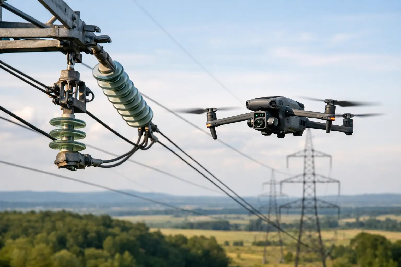
A drone-based inspection workflow helps close the gap between limited visibility and high-risk access. Transmission structures, conductors, insulators, hardware assemblies, and right-of-way conditions can often be documented from multiple angles in a fraction of the time required for more labor-intensive methods. For utility operators managing broad networks, that speed matters. For engineering and maintenance teams, the ability to zoom in on a suspect connector, damaged insulator, or vegetation concern matters even more.
There is also a documentation advantage that is easy to underestimate. A field note can describe a problem. High-resolution imagery and organized inspection records show exactly what the team saw on that day, from that angle, under those conditions. That makes planning, internal review, and contractor coordination more efficient.
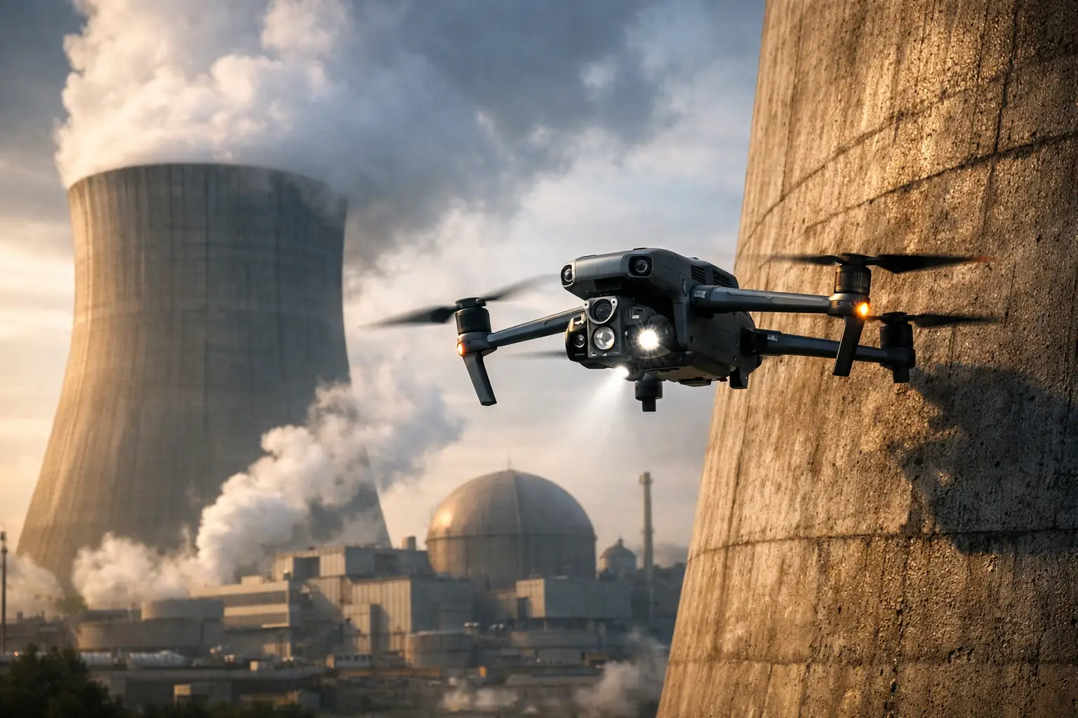
What drones actually help inspect on power line assets
When people hear power line drone inspection, they sometimes think only of broad overhead shots. That misses the real operational value. In professional utility and infrastructure work, the useful output is detailed asset documentation.
Depending on the mission, drones can support visual review of poles and towers, crossarms, insulators, conductors, spacers, dampers, hardware connections, and surrounding access conditions. They can also help document encroaching vegetation, erosion near structure foundations, storm-related damage, and access constraints that affect repair planning.
Thermal imaging may also have a role in some cases, especially when teams are looking for heat anomalies that warrant closer investigation. But thermal should be treated carefully and in context. It is a support tool, not a stand-alone answer. Results depend on load, weather, equipment condition, camera quality, flight planning, and the experience of the operator collecting the data.
This is where disciplined field execution matters. Good inspection data is not just about getting airborne. It is about collecting the right imagery, with the right standoff, in the right sequence, so the utility or engineering team can use it afterward.
Where drone inspections make the most sense
Not every corridor or every structure should be handled the same way. The strongest drone workflows are usually tied to a clear operational need.
After storms, drones can help teams quickly assess damaged spans, leaning poles, debris impact, and access challenges before committing full ground resources. During routine maintenance cycles, they can support condition documentation on structures that are difficult to reach by vehicle or would otherwise require more intrusive inspection methods. For pre-work planning, drone imagery can help crews understand site conditions, structure layout, and nearby obstacles before they mobilize.
They are also useful in areas where terrain complicates access. River crossings, wooded rights-of-way, steep grades, wetlands, and remote easements often slow conventional inspections and increase crew exposure. A drone does not remove all field challenges, but it can reduce how much time personnel spend in the most difficult spots.
There are limits, though. Dense canopy, heavy electromagnetic interference, restricted airspace, active weather, and line complexity can all affect what is practical on a given mission. The right approach depends on the asset, the objective, and the operating environment.
The safety case for power line drone inspection
Safety is one of the strongest reasons organizations invest in drone-supported utility inspections, but it should be framed correctly. Drones do not eliminate risk. They help reduce unnecessary exposure when used as part of a controlled inspection process.
That means fewer situations where personnel need to climb first just to determine whether a closer look is necessary. It can mean less time spent traversing unstable ground, working near traffic, or entering difficult access areas before conditions are documented. It can also mean faster situational awareness after a storm or outage event, when pressure is high and field conditions may still be uncertain.
For critical infrastructure operators, that reduction in exposure has real value. It protects crews, improves planning, and helps managers prioritize site visits based on documented conditions rather than guesswork.
What decision-makers should expect from a provider
A qualified drone contractor for utility and transmission work should bring more than a camera and a pilot certificate. Power line inspection support requires planning, safety discipline, and a clear understanding of how the data will be used once the flight is over.
First, the operator should understand mission scope. Are you documenting storm damage, collecting baseline imagery, supporting engineering review, checking hard-to-access components, or building a record for maintenance planning? The answer affects flight patterns, image capture priorities, deliverables, and scheduling.
Second, compliance and operational readiness matter. FAA Part 107 certification is the baseline, not the finish line. Commercial clients should also look for proper insurance coverage, structured field procedures, and experience operating around industrial and infrastructure assets where precision and professionalism are expected.
Third, the deliverable matters as much as the flight. Raw footage is rarely enough for utility operations. Teams usually need organized high-resolution imagery, thermal files when applicable, mapped context, annotated findings support, or inspection documentation that can be routed internally. If the output does not fit the client workflow, the mission was only partially successful.
Common trade-offs and limitations
Drone inspections are highly effective, but they are not the answer to every problem on the line.
Visual data can identify conditions that appear abnormal, degraded, damaged, or worthy of closer review. It cannot by itself certify structural integrity or replace the judgment of utility engineers, line crews, or other qualified specialists. In many cases, drone findings are most valuable when they help teams decide where hands-on inspection or repair resources should go next.
Battery life, weather windows, corridor length, and site access also shape what is realistic in one deployment. A short targeted inspection around a substation tie-in or suspect structure is very different from a multi-mile corridor assessment. Some missions benefit from a rapid-response model. Others need staged planning, airspace coordination, and phased data collection.
There is also a balance between speed and detail. If the goal is broad situational awareness after a storm, the image set may prioritize coverage. If the goal is component-level review, the mission may move slower and require tighter capture standards. The best providers are clear about those trade-offs up front.
Building a better workflow around inspection data
The organizations getting the most from drone inspection are not treating it as a one-off flight. They are building it into larger maintenance, engineering, and documentation workflows.
That could mean collecting baseline imagery on critical structures and then returning after severe weather for direct comparison. It could mean using drone documentation before contractor mobilization so repair teams know what equipment and access planning are required. It could also mean pairing visual inspection data with mapping, thermal review, and field notes so maintenance priorities are easier to defend internally.
For utilities and infrastructure owners in Georgia, Alabama, South Carolina, and Tennessee, weather exposure alone can justify a more structured aerial documentation strategy. Storm response, vegetation pressure, heat, humidity, and access issues can all affect the pace and risk profile of line inspections. Having a dependable drone partner ready to support those environments is often less about convenience and more about operational control.
Air Reel Technologies approaches this work the way critical infrastructure clients expect it to be handled – with disciplined field operations, professional documentation, and a focus on usable aerial intelligence rather than generic drone footage.
A good power line drone inspection program does not start with the aircraft. It starts with the question your team needs answered, the risk you are trying to reduce, and the decisions that depend on clear visual evidence. When the mission is planned around that standard, the data becomes far more than imagery. It becomes a practical tool for keeping complex assets visible, documented, and better managed.