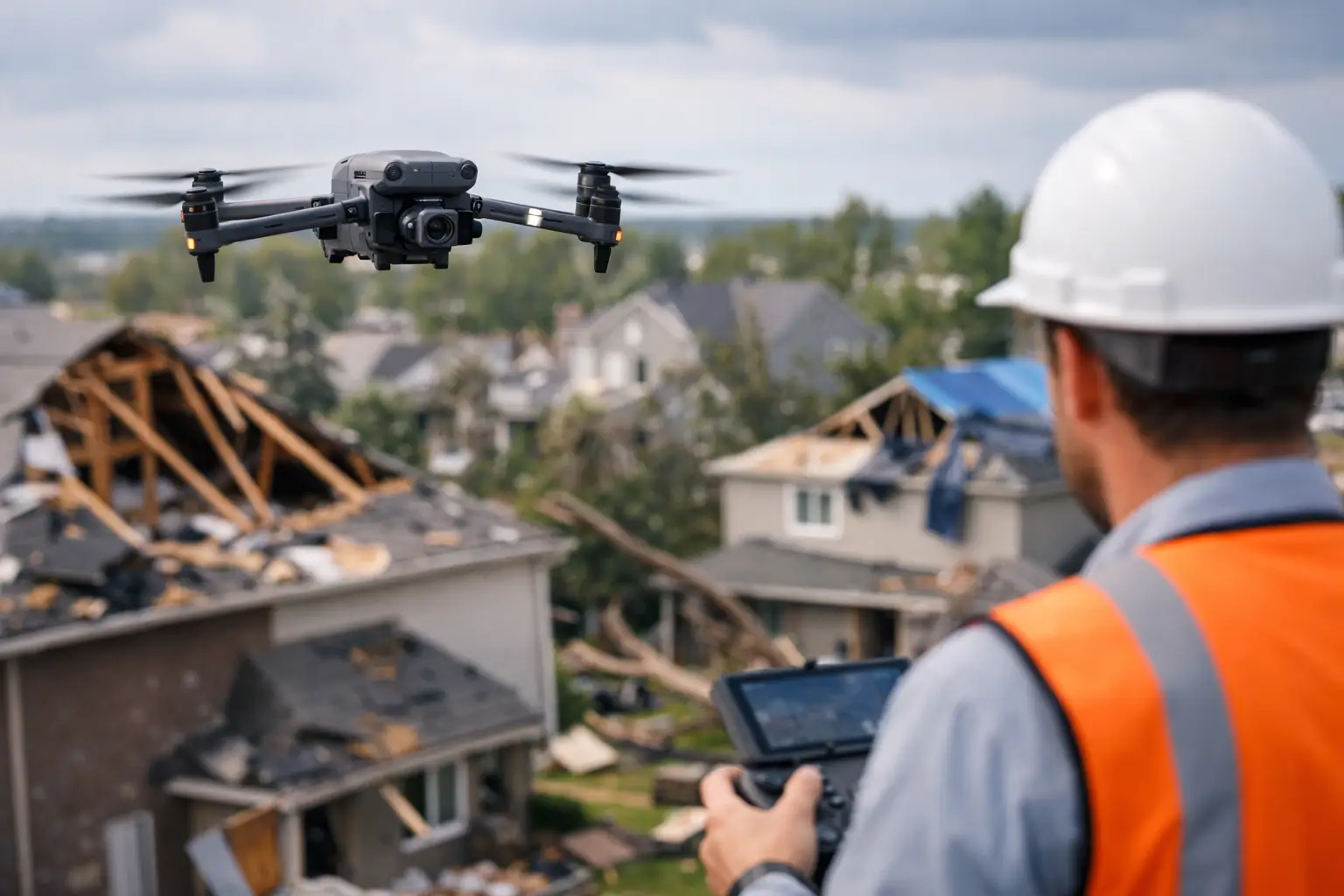
When a storm moves through a commercial site, the first problem is rarely just the damage itself. It is the lack of clear visibility. Roof systems may be compromised, drainage patterns may have changed, equipment may be exposed, and access routes may still be unsafe. A post storm property damage drone survey gives owners, operators, project teams, and insurance stakeholders a fast way to see the full picture without sending people into unstable conditions too early.
For large buildings, industrial facilities, utility assets, and active construction sites, that matters. The first 24 to 72 hours after a storm often shape the entire response – emergency mitigation, claim documentation, contractor mobilization, and repair sequencing all depend on accurate field information. If the initial record is incomplete, decisions slow down and disputes become more likely.
Why a post storm property damage drone survey matters
After severe wind, hail, heavy rain, or a tornado event, ground-level observations only tell part of the story. Teams can usually spot obvious issues such as broken fencing, debris accumulation, standing water, or damaged siding. What they often cannot see quickly are membrane punctures, flashing failures, rooftop equipment impacts, damaged panels, blocked drains, facade breaches at elevation, or water intrusion pathways that start high and travel down.
A post storm property damage drone survey closes that gap. High-resolution aerial imagery creates a broad visual record of the asset condition at a specific point in time. That record supports internal reporting, insurance documentation, contractor scoping, and follow-up inspections by engineers or other specialists when needed.
This is especially useful for facilities with complex footprints. Warehouses, plants, campuses, telecom sites, substations, and multi-building properties are difficult to assess efficiently by foot alone. In those environments, a drone-based survey is not about convenience. It is about speed, safety, and documentation discipline.
Faster visibility, lower exposure
The biggest operational advantage is straightforward. Drone crews can assess large or elevated areas without requiring personnel to climb onto wet roofs, position lifts near unstable surfaces, or spend hours walking wide sites before hazards are identified. That does not eliminate the need for boots-on-the-ground follow-up, but it improves the order of operations.
Instead of sending multiple teams into uncertain conditions, decision-makers can review aerial data first and then direct manpower where it is actually needed. That lowers unnecessary exposure and helps prioritize the most serious issues.
For commercial and industrial properties, this often affects more than safety alone. Faster damage visibility can help preserve business continuity. If a facility manager can quickly determine which roof sections are compromised, which access roads remain usable, and where water is ponding or debris is concentrated, mitigation vendors can be dispatched with a more focused plan.
What the survey should document
A useful drone survey is more than a set of photos from the air. The value comes from organized, usable documentation tied to the needs of operations, claims, and repair planning.
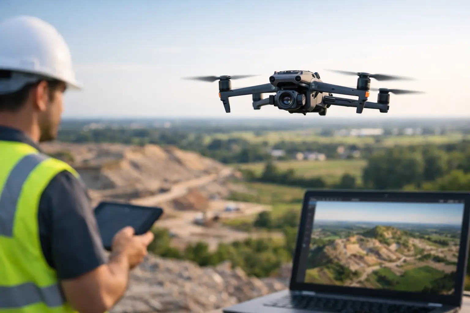
In most storm-response scenarios, the survey should capture overall site condition, close visual documentation of suspected impact areas, roof and facade overviews, drainage and ponding conditions, debris fields, access obstructions, and any visible damage to mechanical units, solar arrays, utility structures, communication equipment, or construction materials. On larger properties, map-based outputs or structured image sets can also help teams understand damage distribution across the site.
The right deliverable depends on the asset. A distribution center may need clear roof-condition imagery and drainage assessment. A construction project may need documented impacts to materials, staging zones, cranes, temporary power, and perimeter controls. A utility or telecom stakeholder may need imagery organized by structure or segment for faster review.
That is where professional field execution matters. Capturing data is only half the job. The imagery has to be consistent, traceable, and usable by the people making decisions.
Post-storm surveys for complex commercial assets
Not all properties present the same inspection challenge. A simple office building and a power-generation site do not require the same flight planning, risk controls, or documentation approach.
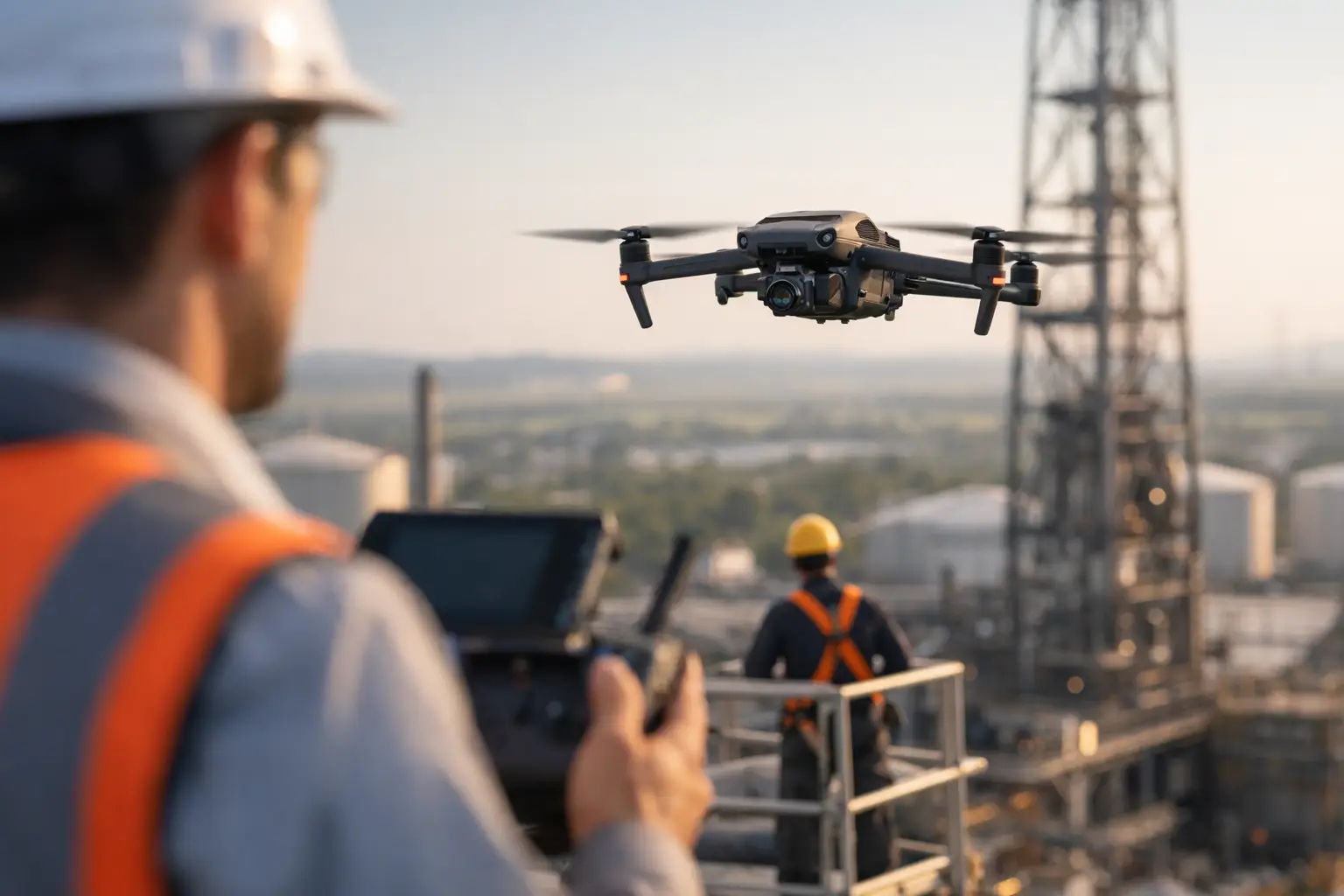
For industrial and critical infrastructure environments, a post storm property damage drone survey has to be conducted with discipline. Airspace considerations, active operations, site access restrictions, safety coordination, and the presence of sensitive equipment all shape how the work should be performed. The provider needs to understand how to operate around active facilities without creating new problems.
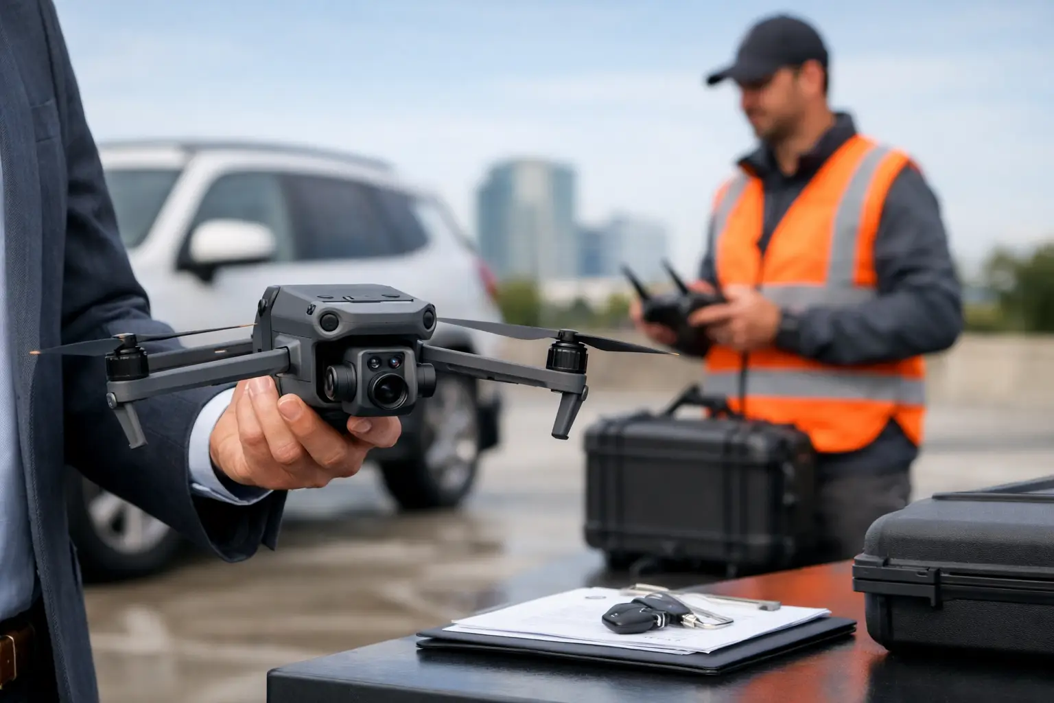
That is one reason commercial clients tend to look for FAA Part 107 certified operators with insurance coverage and real field experience. In a storm-response setting, there is little room for improvised workflows. Teams need reliable deployment, clean documentation, and a provider that understands chain-of-communication on active sites.
Construction sites
Storm damage on construction projects is rarely isolated to one component. Temporary roofing, exposed interiors, earthwork erosion, standing water, scaffold impacts, material displacement, and perimeter failures can all occur at once. Aerial documentation helps project managers establish a site-wide record quickly, which is valuable when coordinating owners, carriers, subcontractors, and schedule recovery.
Industrial facilities
At industrial sites, the priority is often maintaining control of operations while identifying visible damage to roofing systems, exterior assets, access routes, storage areas, and elevated equipment. Drone data can support plant teams by showing where to focus limited maintenance resources first, particularly when the affected footprint is too large to inspect manually in a narrow time window.
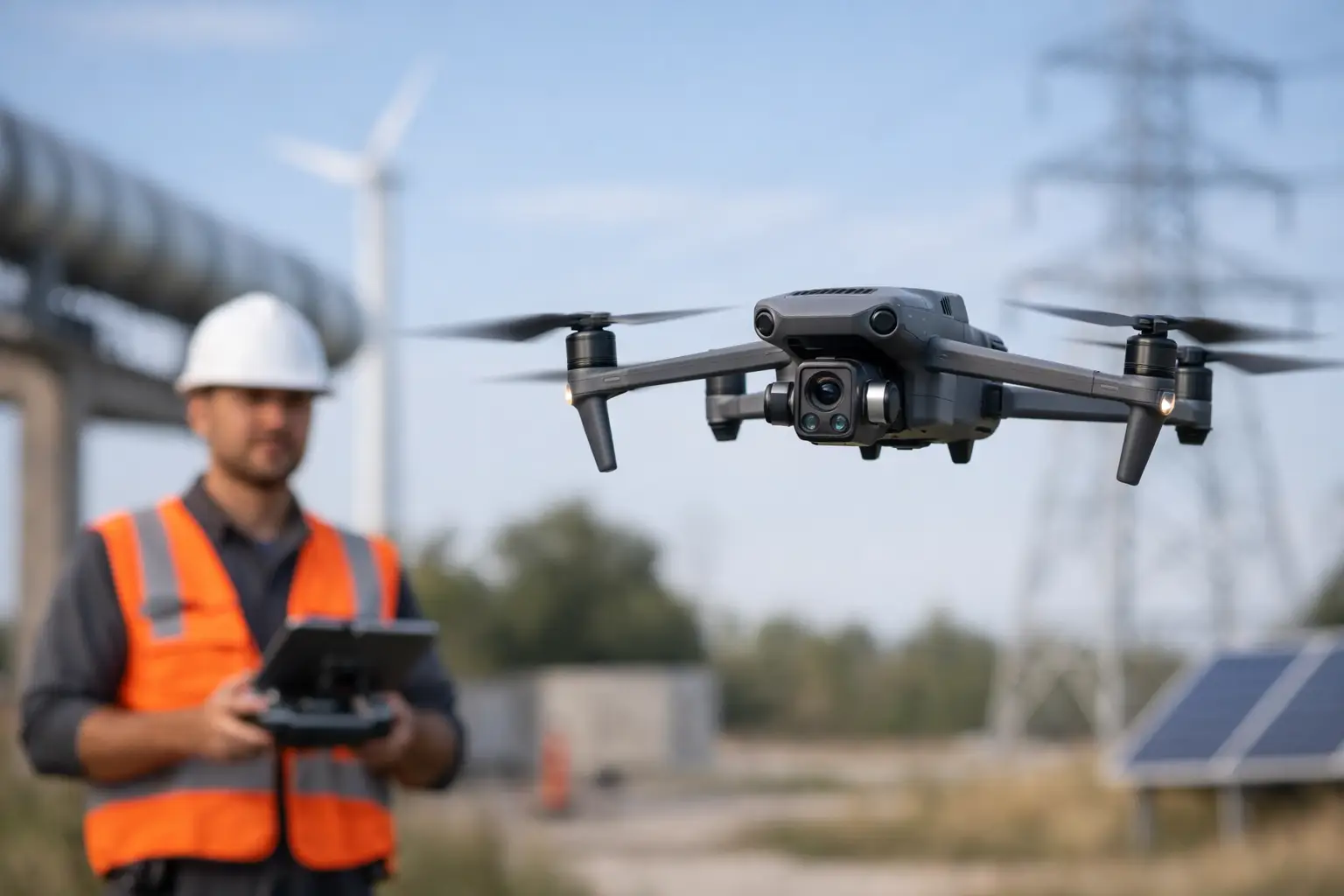
Utilities and telecom assets
For utility corridors, substations, and telecom structures, storm response often requires rapid condition awareness across dispersed locations. Drone surveys can help document visible damage and site conditions efficiently, especially when travel time and access constraints would slow traditional assessments.
Insurance support without guesswork
Insurance-related storm documentation works best when the record is timely and well organized. Late, incomplete, or inconsistent evidence can complicate the claims process. Aerial imagery helps establish condition immediately after the event and can reduce uncertainty around the extent and location of visible damage.
That said, there is an important boundary. A drone survey does not replace adjusters, engineers, or roofing consultants. It supports them. It provides visual evidence and organized aerial data that can improve scoping discussions, reduce repeat site visits, and help separate observed damage from assumptions.
For carriers, adjusters, and catastrophe-response teams, this can improve throughput on larger loss events. For property owners, it can create a stronger factual record before cleanup and temporary repairs change site conditions.
What to look for in a provider
Storm response is one of the clearest cases where provider quality matters. The difference between a professional operation and a basic drone flight shows up quickly in the field.
A qualified provider should be able to deploy safely, coordinate with site contacts, operate under FAA requirements, and produce organized deliverables that fit commercial workflows. They should also understand that different stakeholders need different outputs. Facility managers may need broad site visibility. Claims teams may need timestamped imagery and area-based organization. Contractors may need visuals that help with mobilization and repair estimates.
It also helps to work with a team used to demanding environments. Large roofs, active projects, industrial hazards, and storm-disrupted sites require calm execution and attention to detail. In Georgia and across the Southeast, where severe weather can affect everything from distribution centers to utility infrastructure, response speed and field discipline are not optional.
The best time to plan is before the next storm
The most effective post-storm response programs are rarely built after damage occurs. They are planned in advance. That might mean identifying priority assets, defining documentation standards, establishing site contacts, and knowing who can deploy when weather clears.
When that preparation is in place, a drone survey becomes more than a reactive service call. It becomes part of a practical damage-assessment workflow – one that helps organizations document conditions early, direct resources intelligently, and keep people out of avoidable risk.
For commercial and industrial operators, that is the real value. Not dramatic footage. Not flashy technology. Just clear aerial intelligence, captured at the right time, so the next decision is based on evidence instead of assumption.
When the storm has passed and the pressure is on, the teams that move best are the ones working from a verified view of the asset, not a partial one.