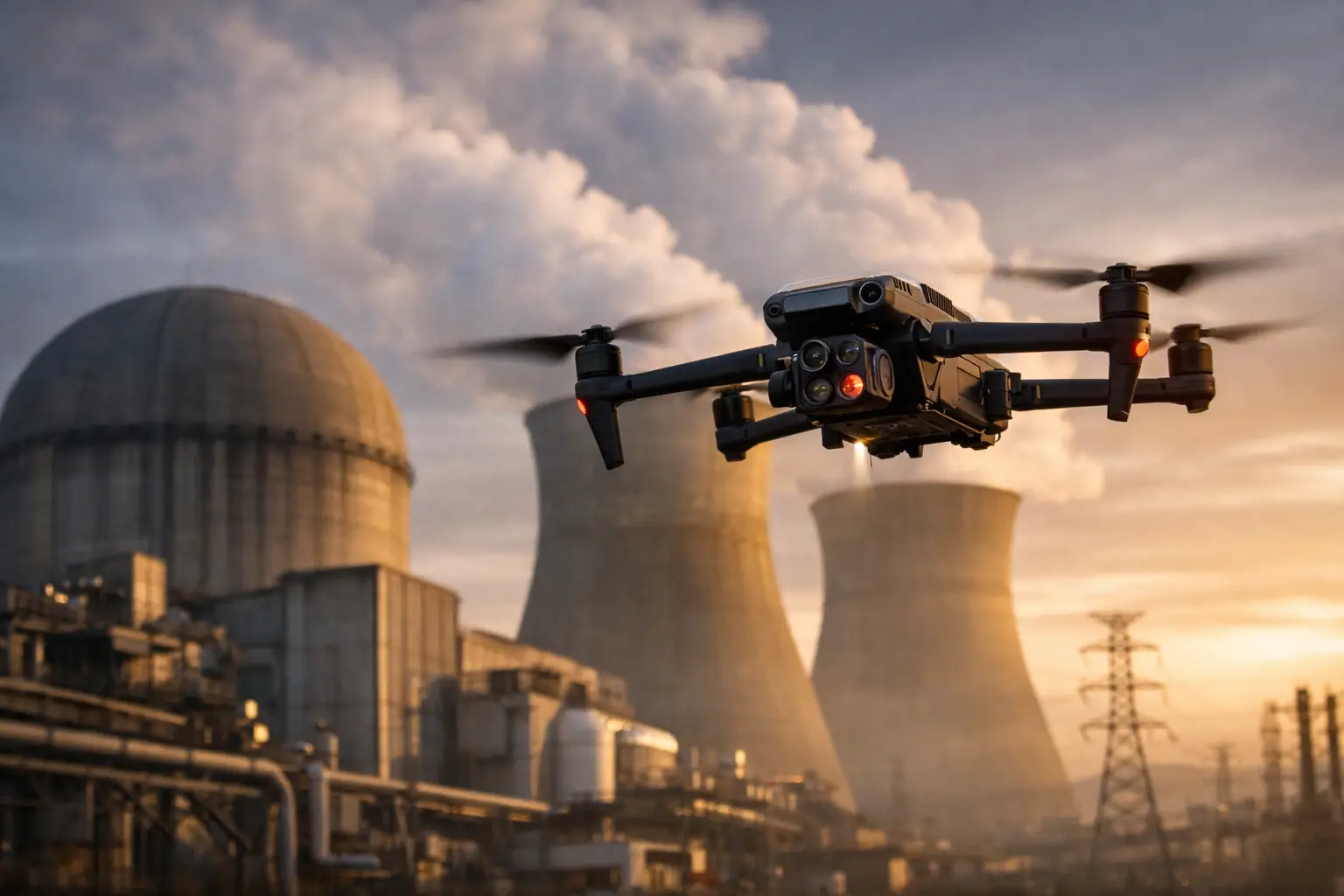
A disaster site can change by the hour. Access roads may be blocked, crews may be working around downed lines or unstable structures, and decision-makers may need defensible documentation before debris is moved. To plan disaster drone flights effectively, the mission must begin with the operational question – not with the aircraft.
For insurers, utilities, construction teams, facility operators, and infrastructure owners, the objective is usually clear: establish conditions, identify priority damage, document the scene, and give field teams useful visual intelligence without adding unnecessary exposure. That takes disciplined flight planning, coordination, and a deliverable standard established before deployment.
Start With the Decision the Flight Must Support
The first question is not, “What footage do we need?” It is, “What decision must this data support?” A catastrophe-response flight for an insurance carrier may need property-level condition documentation, wide-area context, and repeatable imagery for claim files. A utility may need to identify blocked access, visible damage along a corridor, or conditions around a substation before sending personnel into the area.
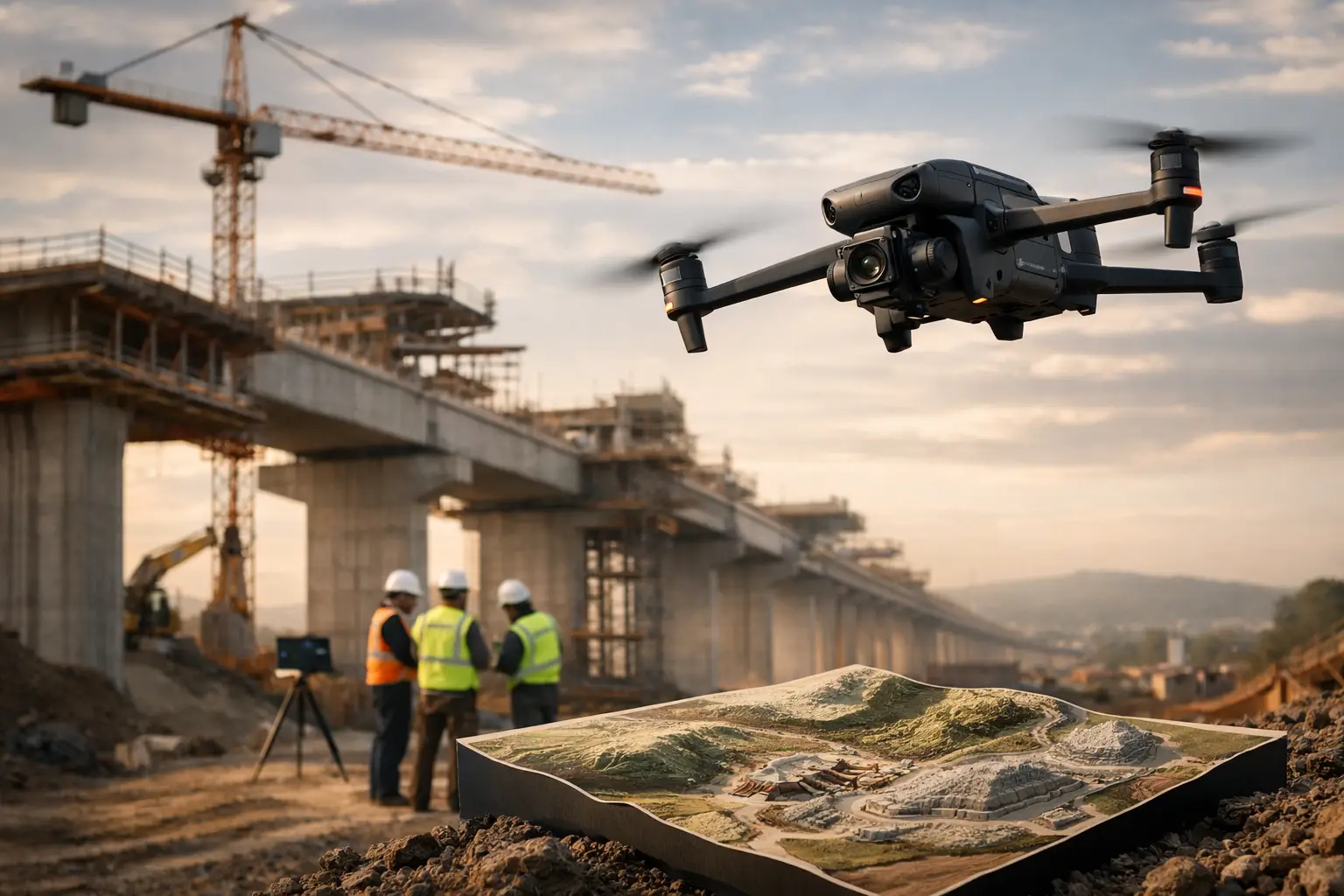
Construction and industrial teams may need a current site record after wind, flooding, or fire. In those cases, aerial mapping, oblique imagery, and selected close visual inspections can establish what changed and where recovery work should begin.
Define the intended users of the data, the asset boundaries, the timeline, and the required level of detail. A broad damage-assessment map is useful for prioritization, but it cannot replace targeted imagery of a roof penetration, damaged equipment enclosure, or compromised access point. Conversely, detailed close-range imagery without a site-wide overview can leave managers without the context needed to allocate resources.
A sound mission plan often separates the work into phases: an initial overview to establish conditions, targeted flights for priority assets, and repeat flights to document recovery or changing damage conditions.
Build the Flight Plan Around Site Reality
Disaster areas are not routine job sites. Communications may be limited, temporary flight restrictions or emergency aviation activity may be present, and conditions can deteriorate quickly. The plan must account for the environment as it exists at launch, not as it appeared on a map before the event.
Confirm airspace, emergency activity, and site authority
FAA Part 107 compliance remains part of the operation during disaster response. Before flight, the remote pilot should evaluate the airspace, applicable authorizations, notices, temporary restrictions, and any emergency activity that could affect the operation. Helicopters, law-enforcement aircraft, utility patrol aircraft, and search-and-rescue teams may be active with limited warning.
Coordination with the incident commander, property owner, site superintendent, utility representative, or designated safety lead is equally important. That coordination clarifies where the drone team may stage, which areas are restricted, who controls access, and how flight activity will be communicated to ground crews.
A professional operation does not assume access to critical infrastructure, industrial plants, or regulated facilities. Site permissions, safety procedures, escort requirements, and facility-specific restrictions must be confirmed before work begins.
Conduct a field-based hazard assessment
A preflight hazard assessment should address more than wind speed. Damaged structures, loose roofing, standing water, smoke, dust, compromised power systems, traffic, active machinery, and public activity can all affect the flight and the launch location.
The crew should identify safe launch and recovery areas away from emergency operations and establish clear boundaries around people, vehicles, and equipment. If the aircraft must work near a tower, roofline, transmission structure, or industrial asset, the pilot needs a deliberate approach path and sufficient separation to account for gusts, GPS limitations, visual obstructions, and possible signal interference.
Thermal missions require additional discipline. Thermal imagery can help identify temperature variations associated with moisture intrusion, electrical components, process equipment, or fire-related conditions. It must be captured and interpreted in context, however. Surface temperature differences are not by themselves a structural diagnosis or a final determination of equipment condition.
Match the sensor and flight pattern to the assignment
The best collection method depends on what the client needs to see next. For broad-area documentation, a planned mapping flight can produce an orthomosaic and support measurable site context. For a damaged building exterior, overlapping oblique imagery may better document walls, roof edges, mechanical equipment, and visible impact areas.
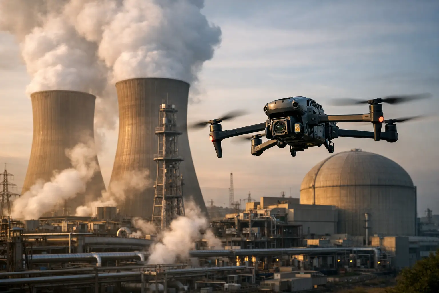
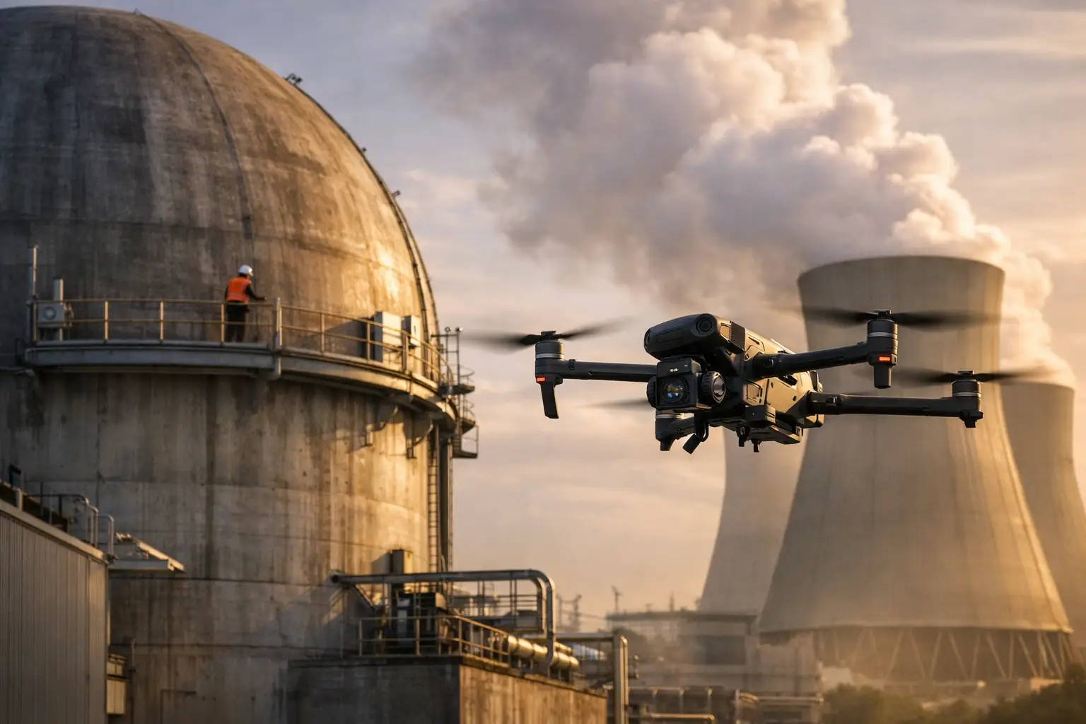
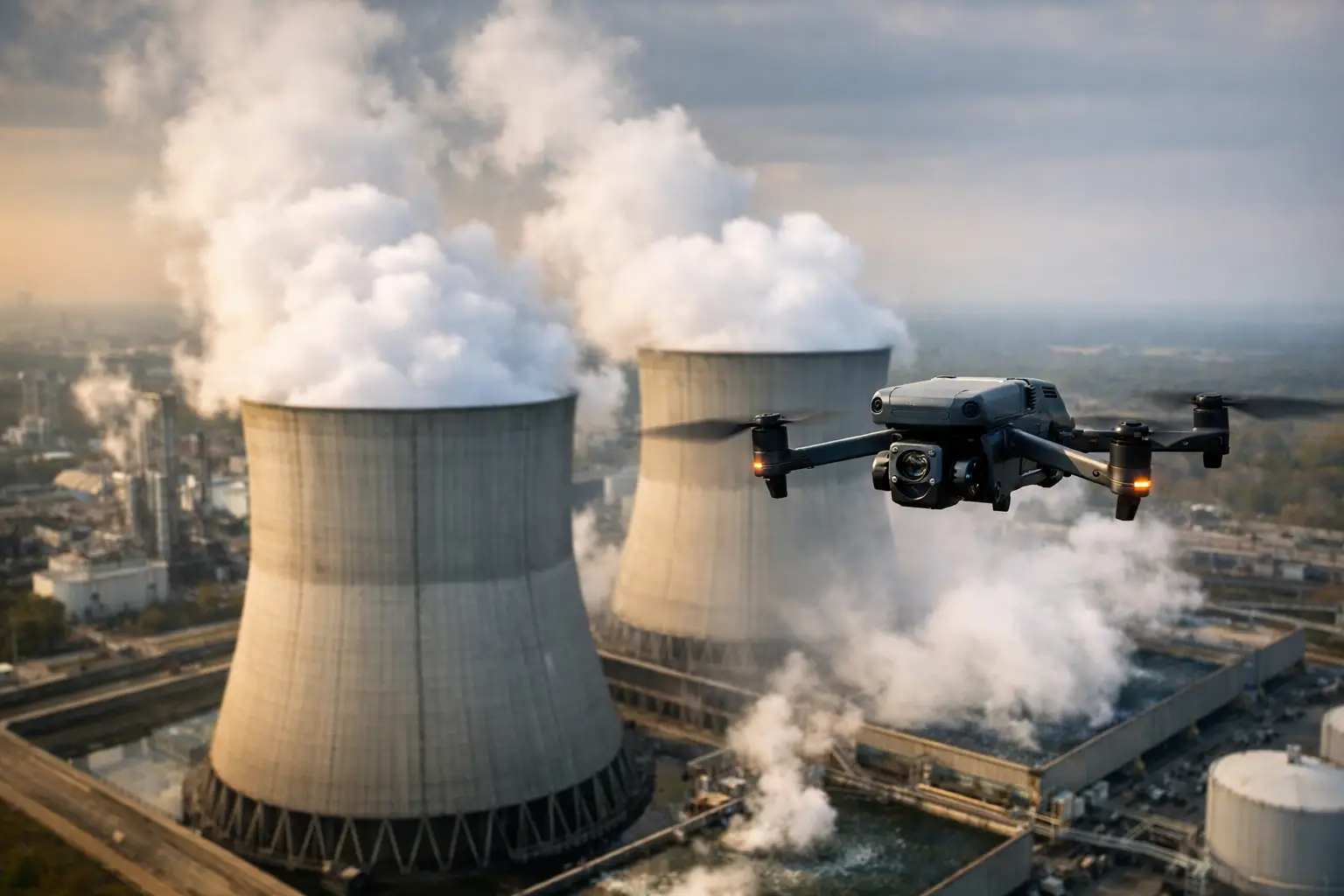
For transmission corridors, cell towers, cooling towers, and difficult industrial assets, targeted visual inspection routes may be more useful than a general mapping grid. The goal is not maximum flight time. It is complete, usable coverage of the areas that matter.
Before launch, establish image overlap, altitude, camera angle, expected ground resolution, naming conventions, and any thermal capture requirements. Repeatability matters when a client expects to compare conditions over multiple days or phases of recovery. Documented flight routes and consistent capture settings make those comparisons more credible.
Plan for Data Delivery Before the Aircraft Launches
Fast collection has little value if files arrive disorganized, incomplete, or detached from the asset and date they represent. Disaster-response planning should include the data workflow from the start.
Create a clear project structure that identifies the client, location, asset, collection date, flight area, and sensor type. Preserve original imagery when required, while preparing organized deliverables that fit the client’s workflow. Depending on the assignment, that may include high-resolution photographs, annotated damage views, orthomosaic maps, 3D models, thermal imagery, flight logs, and location-based documentation.
For insurance operations, image traceability can be especially valuable. A file set should allow an adjuster or catastrophe team to understand where the image was taken, what it depicts, and how it relates to the wider property. For engineering and maintenance teams, the priority may be a clearly labeled asset view that supports follow-up inspection planning.
Set expectations around turnaround time early. An initial situational report may be needed the same day, while processed mapping products and models may require additional quality review. Rushing a map or model without verifying coverage, alignment, and image quality can create more work for the client later.
Use Communications and Contingencies to Protect the Mission
A disaster flight plan needs clear go, no-go, and stop-work criteria. Define the weather limits, visibility requirements, battery reserve policy, communications method, and conditions that require the crew to land immediately. These criteria should be understood by the pilot, visual observer when used, and the client-side safety contact.
Communication is particularly important when the drone operation occurs near active recovery work. Let ground teams know where the aircraft will be operating, when it will move to a new area, and when it has landed. This reduces surprises and helps keep the operation from interfering with more urgent life-safety or restoration activity.
A practical contingency plan also addresses equipment and logistics. Carrying suitable batteries, charging capability where permitted, redundant storage, weather protection, and backup communications can prevent avoidable downtime. But redundancy does not eliminate the need to pause. If weather, airspace activity, site hazards, or changing incident conditions make the flight unsuitable, the correct decision is to stand down and reassess.
Keep the Scope Honest After the Flight
Aerial data provides a valuable visual record, but it has limits. Drone imagery can show visible damage, access constraints, heat patterns, site progress, and conditions that warrant further attention. It does not certify structural integrity, replace hands-on examination where required, or substitute for engineering judgment.
That distinction protects the client and keeps the work useful. The most effective reports use direct language: visible damage documented, area inaccessible from ground level, thermal variation observed, follow-up evaluation recommended. This gives operations, claims, and engineering teams information they can act on without overstating what the data proves.
For complex or high-risk environments, a field-tested provider such as Air Reel Technologies can support the response with disciplined aerial collection, organized documentation, and professional operating standards. The value is not the aircraft alone. It is the ability to obtain reliable visual intelligence while respecting the safety, compliance, and operational demands of the site.
The best disaster-flight plan leaves room for conditions to change. When the next call comes in, the team should know what decision the mission supports, what data is required, who controls the site, and when the safest answer is to wait.