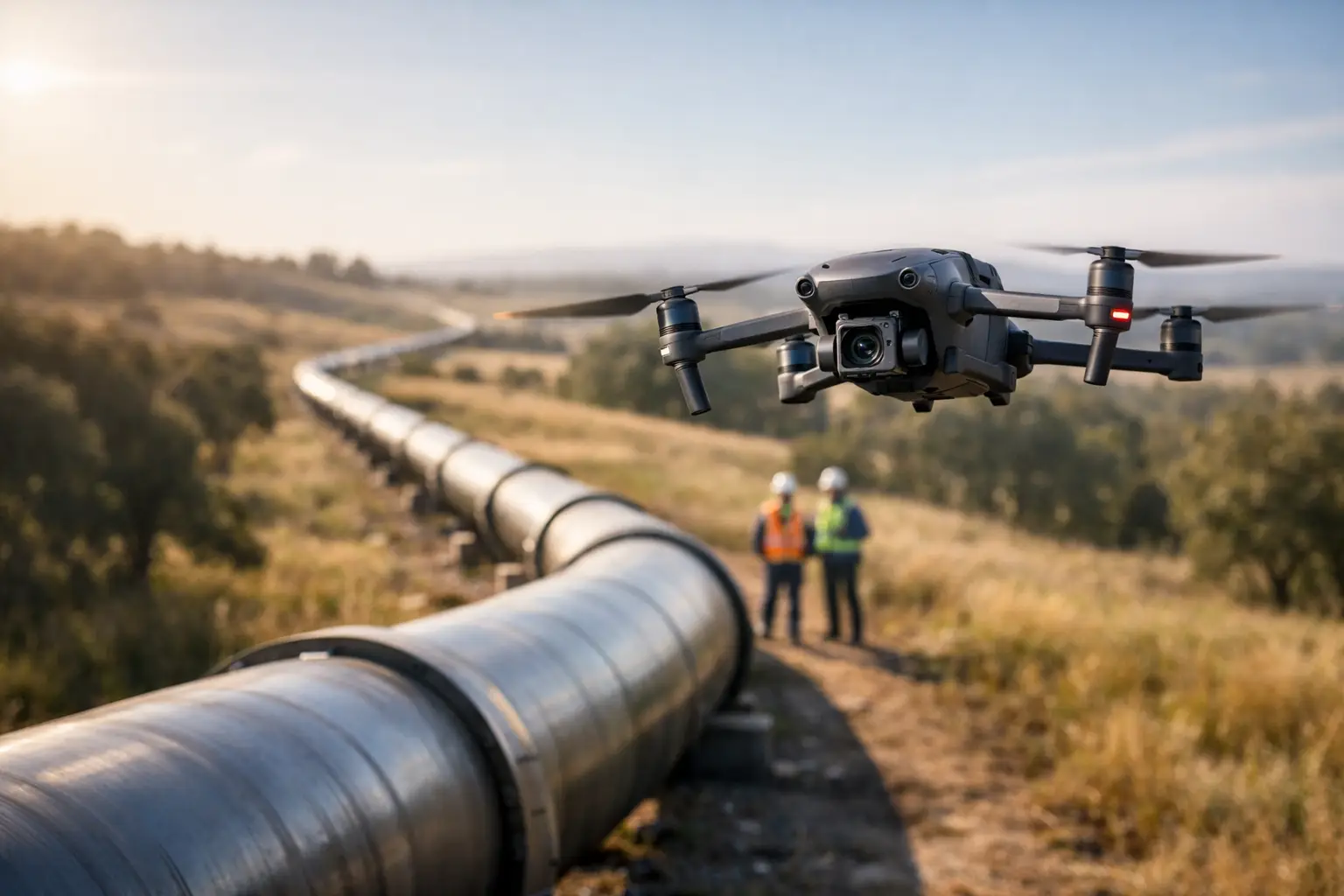
A pipeline issue rarely announces itself at a convenient time. It shows up as a washout after heavy rain, a vegetation change along a right-of-way, a thermal irregularity near a suspected leak point, or a maintenance question that cannot wait for a slow ground survey. That is where pipeline drone inspection services earn their value – not as a replacement for engineering judgment, but as a faster, safer way to collect the visual data operations and inspection teams need.
For pipeline operators, utility teams, engineering firms, and infrastructure owners, the real advantage is not simply getting an aerial view. It is getting usable documentation from difficult terrain, long linear corridors, and hard-to-access assets without sending more people into avoidable risk. When the work is planned correctly, drone-based inspection can reduce field exposure, shorten inspection timelines, and produce imagery and mapping that fit into maintenance, integrity, and project workflows.
What pipeline drone inspection services actually deliver
The phrase can mean different things depending on the asset and the inspection objective. In practice, pipeline drone inspection services usually support visual corridor review, above-ground asset checks, route documentation, thermal observation where conditions allow, post-storm damage assessment, encroachment review, erosion monitoring, and progress tracking during construction or repair work.
The deliverables matter as much as the flight. A professional operation should be focused on producing high-resolution imagery, georeferenced documentation, mapped site context, and organized inspection records that a client can actually use. That may include still images of valves, pump stations, crossings, supports, exposed segments, disturbed ground, access roads, and surrounding conditions. It may also include orthomosaic mapping, 3D models, thermal imagery, and visual documentation packages that help teams compare conditions over time.
That distinction is important. A drone flight by itself does not solve an inspection problem. Useful aerial data does.
Where drone inspections make the biggest difference on pipeline assets
Pipelines create a specific inspection challenge because they stretch across varied terrain and changing conditions. One section may run through open right-of-way that is easy to document from the air. Another may cross wetlands, wooded corridors, steep embankments, industrial property, or active construction zones where access is slower and risk is higher.
This is where drone inspection becomes practical instead of theoretical. Crews can document long sections of right-of-way more efficiently than a ground-only approach, identify visible anomalies or access issues earlier, and return with repeatable data collection after storms, repairs, or maintenance events. If a team is dealing with washouts, drainage concerns, slope movement, standing water, vegetation changes, or third-party encroachment, aerial documentation gives immediate context that can be hard to capture from the ground.
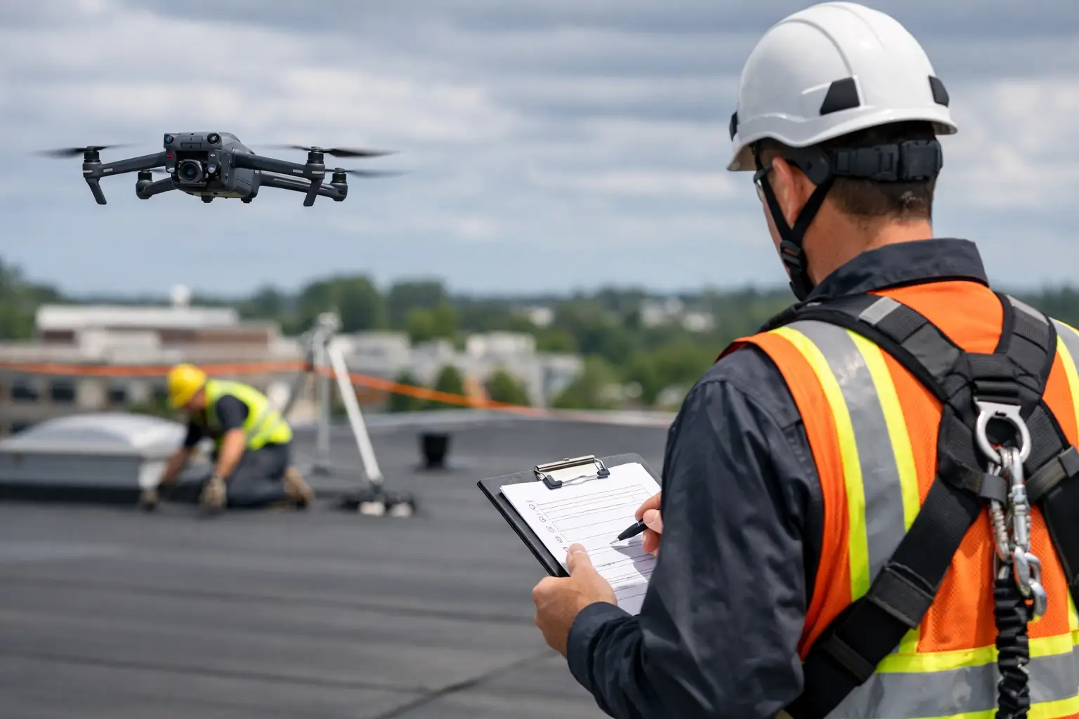
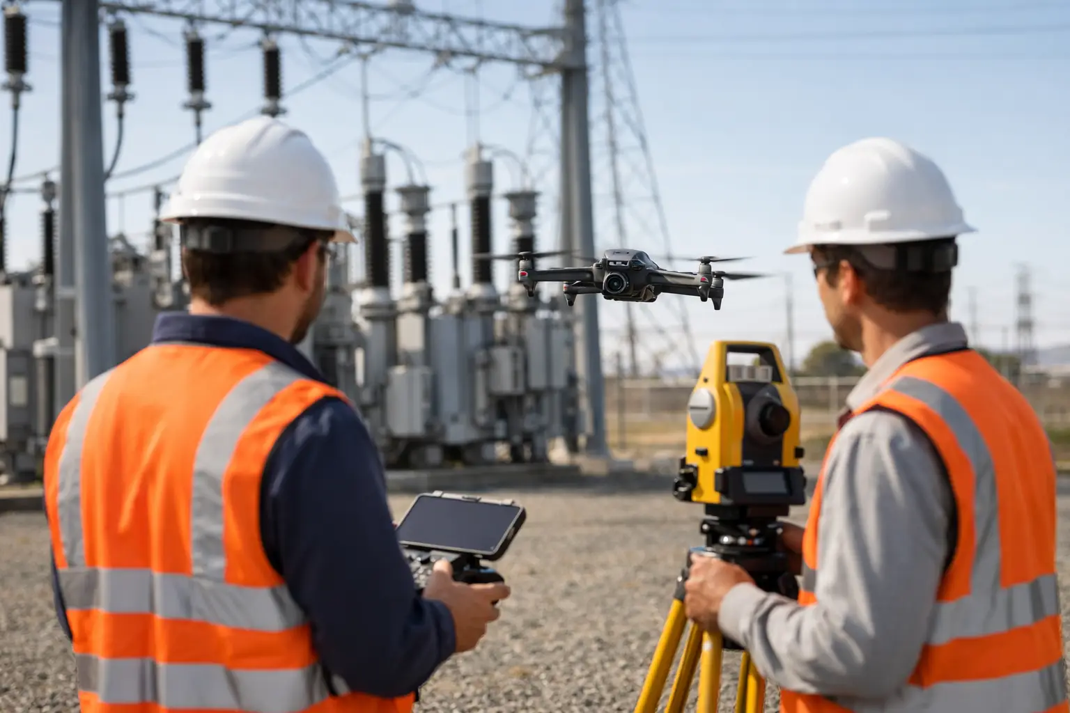
Above-ground infrastructure also benefits. Stations, crossings, supports, fenced sites, and related facilities often require recurring visual checks. Aerial inspection can capture roof conditions, perimeter changes, drainage issues, thermal patterns, and general asset condition while limiting ladder work, off-road travel, and extended time in hazardous areas.
Why operators are shifting from manual-only workflows
Traditional inspection methods still have their place. Ground crews, technicians, and engineers remain essential, especially when close-up assessment, testing, repair, or regulatory procedures are involved. But manual-only workflows carry real costs. They take time, require more labor, expose personnel to terrain and traffic hazards, and often produce uneven documentation from one inspection cycle to the next.
Drone support changes that equation. It helps teams cover more ground in less time and create a visual record that is easier to compare over multiple dates. That can improve planning before a field visit, help prioritize follow-up work, and reduce unnecessary repeat trips.
The safety benefit is often the first reason organizations adopt drone inspections, but not the only one. Speed matters when a client is dealing with storm response, active construction, a potential access issue, or a time-sensitive maintenance question. Documentation quality matters when a team needs to brief leadership, support an engineering review, respond to an insurance matter, or maintain organized records on a high-value asset.
There is also a cost control element. Reducing boots-on-the-ground time for broad visual review can lower labor demands and help reserve specialized personnel for the work that actually requires close physical access.
Pipeline drone inspection services are only as good as the field operation
Not every drone provider is built for infrastructure work. Pipeline environments require more than basic piloting ability. They require disciplined planning, clear communication with the client, an understanding of operational boundaries, and the ability to capture data consistently in real-world conditions.
That starts with compliance and safety. Commercial drone operations should be conducted by FAA Part 107 certified pilots with proper insurance coverage and a clear operating plan. Around industrial and energy assets, that also means coordinating site conditions, access restrictions, airspace limitations, weather, and client safety requirements before launch. A dependable provider knows that mission readiness is part of the deliverable.
Field execution matters just as much. If imagery is poorly framed, inconsistent, or disconnected from the client’s inspection goals, the result may look impressive but provide little operational value. By contrast, a capable inspection team works backward from the decision the client needs to make. Are they trying to document storm damage, monitor erosion, verify construction progress, inspect above-ground components, or build a visual baseline for future comparison? The answer should shape the flight plan, the capture method, and the final documentation set.
What to expect from the inspection process
A strong pipeline inspection engagement usually begins with scope definition, not aircraft selection. The first question is what the client needs to see and why. A broad corridor review requires a different approach than a focused inspection of a station, support structure, or recent repair area.
From there, planning should cover site conditions, safety considerations, access points, weather windows, and expected deliverables. In some cases, a visual inspection is enough. In others, mapping or thermal data may add value. It depends on the asset, surrounding conditions, and the type of issue under review.
The collection phase should be methodical. Flights need to produce consistent overlap, useful angles, and enough context for downstream review. That is especially important when the data may be used by maintenance managers, engineering consultants, project stakeholders, or insurance teams who were not on site.
After capture, the documentation should be organized in a way that supports action. Images without labels, maps without context, and large file dumps without structure create more work for the client. Good inspection support means providing visual records people can review quickly and use confidently.
The trade-offs and limits matter
Drone inspection is powerful, but it is not universal. Dense tree cover, restricted access, poor weather, line-of-sight constraints, and certain site conditions can limit what is practical from the air. Thermal imaging can be valuable, but only under the right environmental conditions and for the right objectives. A visible issue from above may still require a ground team or specialist to verify cause and severity.
That is why the best providers do not oversell the platform. Drones support inspection, maintenance, engineering, and operations teams. They do not replace them. The goal is to improve situational awareness, speed up documentation, and reduce unnecessary exposure – not to pretend every asset question can be answered from the air.
This is also why repeatability matters. One-off flights can be useful, but the bigger value often comes from building a consistent record over time. When clients can compare imagery from month to month, storm to storm, or phase to phase, trends become easier to spot and maintenance planning becomes more grounded in evidence.
Choosing a provider for pipeline drone inspection services
If you are evaluating vendors, the right question is not who owns a drone. It is who can operate reliably around industrial assets and deliver documentation your team can use. Experience with complex infrastructure, disciplined field procedures, proper certification, insurance coverage, and the ability to work safely in demanding environments should all be part of the decision.
It also helps to choose a partner that understands adjacent use cases. Pipeline inspections often connect to construction monitoring, erosion review, storm documentation, thermal observation, mapping, and insurance-related reporting. A provider with broader industrial inspection capability is usually better equipped to adapt when conditions change in the field.
For operators in Georgia and across the Southeast, that local responsiveness can matter when weather, terrain, and infrastructure demands create narrow response windows. Air Reel Technologies approaches this work with a field-tested, mission-ready mindset focused on accurate aerial data, disciplined execution, and inspection support that fits real operational needs.
The strongest case for drone inspection is simple. When a pipeline team needs clear visual intelligence without losing time or adding unnecessary risk, a well-run aerial operation gives them a better starting point for the decisions that follow.