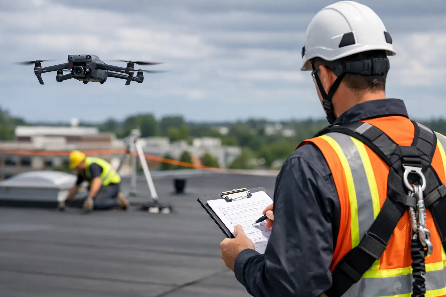
A superintendent notices it first when the weekly site photos do not match what crews are reporting. The grading looks close from ground level, but the access road is drifting, material laydown has spread into a work zone, and one subcontractor is working off an outdated reference. That is where orthophoto mapping for construction stops being a nice visual and starts becoming a control tool.
On an active project, small field gaps turn into schedule pressure, rework, and claims exposure fast. An orthophoto gives the team a current, measurable, top-down image of the site that has been corrected for distortion. Instead of relying on angled drone photos or scattered walkthrough images, project teams get a map-quality visual record they can use to verify conditions, communicate clearly, and make decisions with fewer assumptions.
What orthophoto mapping for construction actually gives you
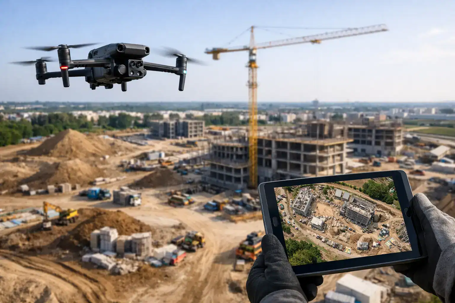
An orthophoto is not just an aerial picture. It is processed so scale is consistent across the image, which means distances, areas, and locations can be reviewed with far more confidence than a standard photo allows. For construction teams, that matters because site conditions change daily, and inaccurate visuals create expensive misunderstandings.
Used properly, orthophoto mapping for construction gives owners, project managers, estimators, and field supervisors a reliable visual baseline. You can compare progress over time, check where materials and equipment are staged, confirm drainage paths, review work-in-place, and document pre-existing conditions before the next phase starts. When the image is current and accurate, meetings get shorter and field coordination gets cleaner.
This is especially useful on large commercial sites where no one can see the whole project from the ground. Even experienced teams miss things when they are moving between buildings, utility corridors, parking areas, or stormwater features. A current orthophoto pulls the full site into one view.
Why construction teams use orthophotos instead of standard site photos
Standard site photos still have value. They show detail, workmanship, and isolated conditions. But they are limited when the question is spatial. If a project manager wants to know whether trenching is tracking to plan, whether the haul route is interfering with another trade, or whether erosion controls are holding across the site, a folder of ground photos is slow to interpret.
Orthophotos answer a different class of questions. They show relationships between work areas. They reduce back-and-forth because everyone is looking at the same current reference. They also create a defensible record when there is a dispute over access, sequencing, damage, or delay.
That does not mean orthophotos replace every other form of documentation. It depends on the task. If you need to inspect flashing details on a roof or identify a crack in a wall, close visual inspection is still necessary. But if you need broad site awareness with measurable context, orthophotos are often the better operational tool.
Where orthophoto mapping helps most on a jobsite
The strongest use case is progress tracking. Weekly or biweekly orthophoto updates let project teams compare actual field conditions against schedule expectations. That is valuable for owners who want visibility without constant site visits and for contractors managing multiple stakeholders.
Earthwork and grading are another major fit. A current orthophoto shows cut and fill areas, haul road placement, ponding patterns, stockpile movement, and where grading is affecting adjacent scopes. It gives civil and site teams a better basis for discussing what changed and what needs attention.
Pre-construction documentation is equally important. Before major mobilization, demolition, or utility work begins, a mapped site record can document neighboring properties, access conditions, drainage features, existing pavement, and surrounding improvements. That record can matter later if questions come up about damage, disturbance, or responsibility.
Orthophotos also support safety and logistics. Teams can review traffic flow, crane locations, laydown congestion, fencing, temporary structures, and emergency access routes from a site-wide perspective. It is easier to spot conflicts from above than from inside the daily movement of the project.
The business case: speed, safety, and fewer blind spots
For commercial builders, the value is not just the image. It is what the image replaces and what it prevents. Manual site walks take time, and they still do not provide a complete top-down record. Climbing structures, traversing unstable ground, or repeatedly sending staff into active work zones adds exposure with limited benefit if the goal is simply to understand current conditions.
Aerial mapping reduces that burden. It can capture a large site quickly without interrupting crews the way repeated manual documentation often does. The result is faster visibility with less time spent collecting information the hard way.
There is also a cost control angle. Rework often starts with miscommunication. When teams are looking at old drawings, outdated site photos, or verbal descriptions, they make avoidable mistakes. A current orthophoto helps align field and office teams around the same conditions. That does not eliminate every issue, but it cuts down on decisions made in the dark.
For owners and insurers, the documentation value is just as important. When there is a question about construction status, weather impact, site access, or a developing issue, time-stamped orthophoto records provide a clearer factual trail than memory or scattered phone images.
What to look for in an orthophoto mapping provider
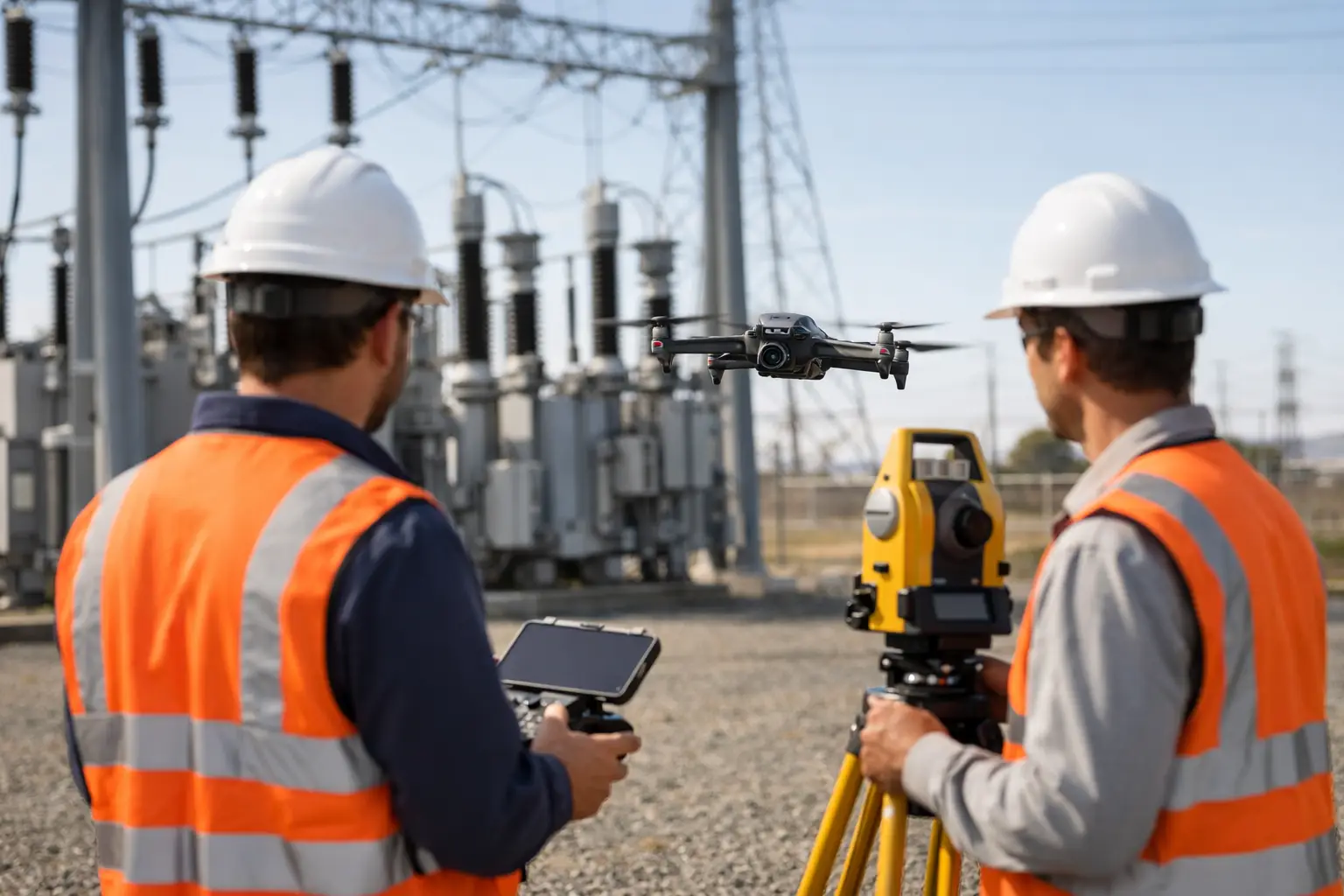
Not all drone mapping work is equal. Construction teams should look beyond whether a provider can fly a drone. The real question is whether they can operate safely in active commercial environments and deliver data that is usable under project pressure.
FAA Part 107 certification is the baseline, not the differentiator. You also want proper insurance coverage, disciplined flight operations, and a provider that understands jobsite risk, scheduling constraints, and chain-of-custody expectations around documentation. On active or high-risk sites, experience matters.
Turnaround time matters too. A technically strong map that arrives too late to support a progress meeting loses value. So does a low-cost deliverable that is difficult to interpret or inconsistent from one visit to the next. Construction workflows depend on repeatability.
That is where a field-ready provider stands apart. Air Reel Technologies approaches orthophoto mapping with the same priorities commercial clients expect across inspection and documentation work: safety, speed, compliance, and dependable output that supports decisions instead of creating more admin work.
Common limits and trade-offs to understand
Orthophotos are highly useful, but they are not magic. Dense tree cover, severe weather, restricted airspace, and poor site access can affect collection timing and image quality. If the project requires very high survey-grade precision for engineering or legal purposes, additional ground control and a more rigorous workflow may be necessary.
There is also the issue of cadence. A monthly orthophoto may be enough for some owners, but it may be too infrequent for fast-moving sites. On the other hand, weekly flights can be excessive on a slower project phase. The right schedule depends on how quickly conditions are changing and who is using the data.
And while orthophotos are excellent for horizontal site visibility, they are only part of a broader documentation strategy. Vertical structures, façade conditions, roof assemblies, thermal anomalies, and close-detail inspection often require other capture methods. The smartest approach is usually a combination of tools, not a single deliverable used for every need.
How orthophotos fit into construction decision-making
The best project teams do not treat orthophotos as marketing visuals for owner updates. They use them as operating intelligence. During OAC meetings, they help verify progress and identify bottlenecks. In pre-task planning, they help teams understand access and staging constraints. In claims support, they help establish what the site looked like at a specific point in time.
That practical value is why orthophoto mapping continues to gain traction in commercial construction. It gives decision-makers a current site record that is fast to collect, easier to interpret than scattered photos, and safer to obtain than repeated manual field documentation.
When margins are tight and schedules are tighter, clarity matters. A well-executed orthophoto will not build the project for you, but it can help your team see the job as it actually stands – and that is often the difference between reacting late and acting early.
The useful question is not whether aerial mapping looks impressive. It is whether better site visibility will save time, reduce exposure, and improve control on your project. On many jobs, the answer is yes.