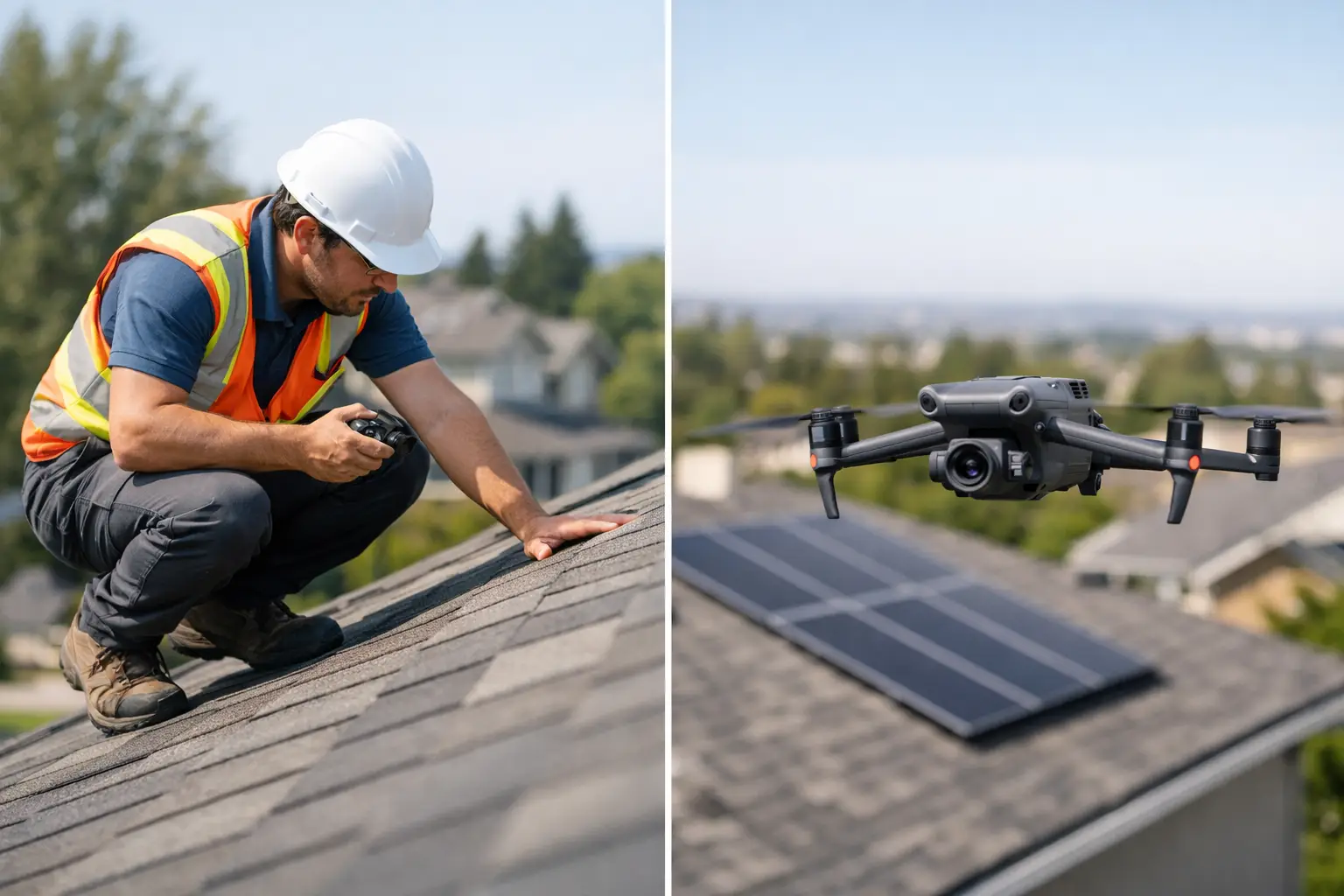
A leaking section on a 300,000-square-foot facility roof rarely announces itself at a convenient time. By the time operations teams, facility managers, or insurance stakeholders need answers, the real pressure is not just finding damage. It is getting reliable documentation quickly, without adding more risk or disruption than the roof issue already created. That is where manual roof surveys vs drones becomes a practical decision, not a theoretical one.
Where manual roof surveys still make sense
Manual roof surveys have been the standard for decades for a reason. When a trained roofing professional, engineer, or specialty inspector is physically on the roof, they can feel soft spots underfoot, examine seams up close, inspect flashing by hand, and confirm conditions that may not be obvious in imagery alone. If a repair crew needs to test adhesion, probe wet insulation, or remove material for further evaluation, someone still has to be onsite.
For smaller buildings with simple layouts and easy access, a manual survey can be straightforward. A low-slope office roof with minimal equipment, limited safety exposure, and a narrow inspection scope may not require much more than a ladder, proper fall protection, and an experienced set of eyes. In those cases, sending a team up may be perfectly reasonable.
The limitation shows up when scale, complexity, or risk increases. Large commercial roofs, active industrial facilities, and sites with numerous penetrations, mechanical units, elevation changes, or restricted access points create a different operating environment. The more surface area and hazard exposure involved, the more time, labor, and planning a manual survey requires.
Manual roof surveys vs drones on safety
Safety is often the clearest dividing line in manual roof surveys vs drones. Every roof access event introduces exposure – ladders, hatches, fall hazards, fragile materials, wet surfaces, rooftop obstructions, heat stress, and the simple reality that people are working at elevation. On industrial sites, the risk picture can widen further because of active equipment, limited access zones, and site-specific safety protocols.
Drone operations do not eliminate all risk. They require preflight planning, airspace awareness, trained pilots, weather evaluation, and disciplined field execution. But they can reduce the number of people who need to physically access the roof, and in many cases they can reduce or delay rooftop exposure until there is a clear reason to send personnel up.
That distinction matters for facility owners and project teams managing risk across multiple buildings. If aerial data can identify suspect membrane areas, drainage problems, storm impacts, punctures, displaced materials, or damaged rooftop units before a manual follow-up is scheduled, the inspection process becomes more controlled. Instead of walking the entire roof to find issues, teams can walk targeted locations with a defined purpose.
Speed changes the workflow
On large assets, speed is not just a convenience. It affects scheduling, claims timelines, maintenance decisions, and project momentum. A manual survey of a complex roof system may take hours or multiple site visits, especially if access is difficult or documentation requirements are extensive.
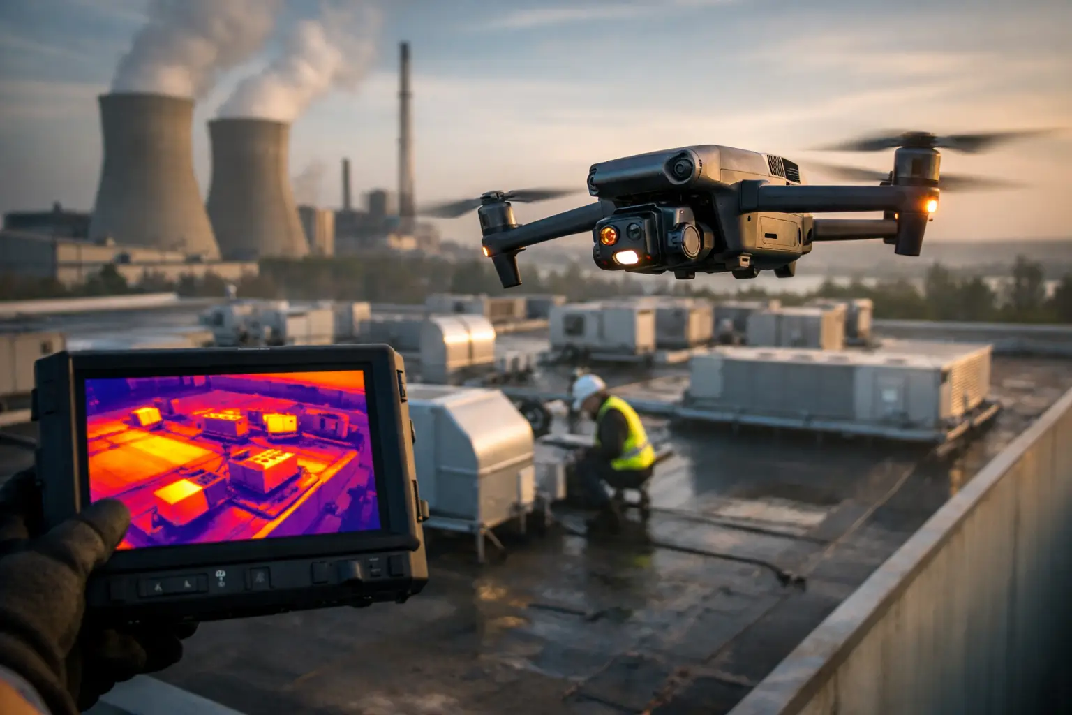
A properly planned drone mission can document broad roof areas much faster. High-resolution aerial imagery allows teams to capture overall roof conditions, drainage patterns, visible deterioration, equipment placement, and storm-related impacts in a fraction of the time it might take to inspect every section on foot. That speed is especially valuable after hail, wind events, or other incidents when multiple properties may need to be reviewed quickly.
For construction and facilities teams, this also changes how information moves. Instead of relying only on handwritten notes and ground-level photos collected in segments, stakeholders can review current aerial documentation across the full roof area. That makes coordination easier between operations, maintenance, contractors, engineers, and insurance teams.
Data quality is not just about close-ups
One reason some organizations hesitate to shift from manual methods is the assumption that drones only provide broad visuals, while manual inspections provide real detail. In practice, the better question is what kind of detail is needed.
A manual roof survey gives direct tactile access and close-range visual confirmation. A drone survey provides comprehensive visual context. On large commercial and industrial roofs, that context is often where costly issues get missed during traditional walkthroughs. Drainage paths, ponding areas, localized storm impact patterns, membrane movement, rooftop equipment relationships, and access constraints are easier to understand when the entire roof can be seen as a system.
Drone-based roof documentation can also support repeatable records over time. When imagery, orthomosaic outputs, and thermal data are collected consistently, teams gain a stronger baseline for comparing change. That is useful for capital planning, maintenance prioritization, insurance documentation, and contractor coordination.
Thermal imaging deserves a careful note here. It can help identify temperature anomalies that may suggest moisture intrusion or insulation issues under the right conditions, but it is not a standalone diagnosis. It is a decision-support tool that helps direct closer inspection, not a substitute for qualified evaluation.
Cost depends on what you count
If the comparison is limited to the cost of getting someone onto a roof for a simple inspection, manual surveys may appear less expensive. But for larger assets, that calculation is often incomplete.
The real cost includes labor hours, safety preparation, access equipment, production interruptions, repeat visits, documentation gaps, and the downstream cost of incomplete visibility. If a manual team spends most of its time traversing a roof to locate isolated issues, that is operational time with limited decision value.
Drone-based surveys often produce better economics when the roof is large, the site is active, the documentation standard is high, or multiple stakeholders need usable records. They are also valuable when fast deployment matters, such as post-storm assessments, pre-construction documentation, insurance support, and portfolio-level facility reviews.
That said, drones are not automatically the lowest-cost option for every property. A small, low-risk roof with an obvious issue and simple access may not justify a specialized aerial deployment. This is where disciplined scoping matters. The right method depends on asset size, urgency, risk profile, and the type of output required.
When a hybrid approach works best
For many commercial and industrial environments, the strongest answer in manual roof surveys vs drones is not either-or. It is a layered workflow.
A drone survey can be used first to capture current conditions across the full roof, identify visible damage, highlight areas of concern, document rooftop equipment and penetrations, and create a visual record for stakeholders. After that, a smaller manual team can be directed to specific zones that require hands-on review, testing, repair confirmation, or engineering follow-up.
This approach improves efficiency because it separates discovery from close-contact verification. The drone handles broad-area visibility and documentation. The onsite specialists handle the limited number of areas that require physical interaction or deeper technical assessment.
That model is especially useful on distribution centers, industrial plants, manufacturing facilities, utility-related sites, and other properties where roof access is possible but not always efficient or low-risk. It helps teams spend human labor where it adds the most value instead of using it to cover ground.
What decision-makers should look for in a drone roof survey partner
If a drone provider is being used for roof inspection support, the standard should be much higher than basic aerial photography. Decision-makers should expect an FAA Part 107 certified operator, professional insurance coverage, clear field procedures, and experience working around commercial and industrial operations.
They should also expect usable deliverables. That may include high-resolution imagery, thermal imagery when appropriate, mapped roof overviews, condition documentation, and organized files that fit maintenance, engineering, or claims workflows. Fast capture is helpful, but only if the output supports action.
For complex or high-value properties, field discipline matters just as much as equipment. Teams working around industrial rooftops and sensitive facilities need to understand site coordination, safety expectations, access limitations, and the documentation standards that serious organizations require. That is the difference between recreational drone use and operational aerial intelligence.
The real question behind manual roof surveys vs drones
Most organizations are not asking whether a person or a drone is better in the abstract. They are asking how to inspect a roof faster, safer, and with better documentation while keeping business operations moving.
That is why the best comparison is not about replacing people with technology. It is about using the right tool for the right layer of the job. Manual inspection remains necessary when touch, testing, or direct repair coordination is required. Drone surveys are increasingly the better starting point when the priority is speed, access, risk reduction, and full-site visibility.
For commercial and industrial assets, that shift is changing roof inspection workflows for the better. When aerial data is collected by a field-ready provider such as Air Reel Technologies, teams can make sharper decisions before committing labor to the roof itself. In high-stakes environments, that kind of clarity is worth more than tradition.