A roof claim can stall before an adjuster reaches the site. A commercial facility may be unsafe to access, a catastrophe zone may have hundreds of affected locations, or a damaged asset may continue to deteriorate while teams coordinate access. A disciplined insurance inspection workflow guide gives carriers, adjusters, and catastrophe-response teams a repeatable way to gather visual evidence quickly without treating every inspection as an improvised field assignment.
For complex commercial and industrial claims, the goal is not simply to obtain more photos. The goal is to establish a documented record that helps the claim move from first notice of loss to review, scope development, and resolution with fewer gaps. Drone-based aerial data can support that record when it is planned, captured, organized, and delivered with the same care expected of the rest of the claims file.
Start With the Claim Decision, Not the Flight
The most efficient inspection begins by defining what the carrier or adjuster needs to determine. That may be the apparent extent of wind damage across a large roof, the condition of rooftop equipment after a hail event, the location of damage on a tower, or a visual record of a facility before remediation begins.
A vague request for aerial photos often produces a large file set with limited claims value. A clear assignment produces a focused collection plan. Before mobilization, identify the asset, the reported cause of loss, the areas of concern, required perspectives, date sensitivity, and the people who will review the material.
This step also separates visual documentation from professional conclusions that require other expertise. Drone imagery can reveal missing materials, visible impacts, standing water, damaged cladding, displaced components, or access constraints. It supports adjusters, engineers, restoration teams, and facility personnel. It does not independently certify structural integrity or replace an engineering assessment where one is needed.
Build a scope that answers practical questions
For a commercial property claim, an assignment scope should state whether the inspection needs broad site context, close visual documentation, thermal imagery, measurement-ready mapping, or a combination. It should also identify whether the team needs evidence of pre-existing conditions, adjoining assets, drainage patterns, temporary repairs, or active hazards.
The scope should be specific enough to guide the field team but flexible enough to account for real conditions. After a storm, for example, standing water, restricted access, changing weather, energized equipment, or active emergency operations may require changes on site. A professional workflow anticipates those decisions instead of forcing a crew to choose between incomplete data and an unsafe operation.
Verify Access, Safety, and Flight Feasibility Early
Aerial inspection is faster than many manual methods, but it is not automatic. The right workflow includes a pre-deployment review of site access, airspace, weather, operational hazards, and stakeholder coordination. This is particularly important around utilities, industrial facilities, cell towers, active construction projects, airports, and disaster areas.
The inspection provider should confirm who can authorize access, where personnel can stage, whether site escorts are required, and what safety rules apply. Facility-specific restrictions may affect launch locations, work windows, communications, personal protective equipment, and the portions of an asset that can be documented.
FAA Part 107 compliance and appropriate operational planning are baseline requirements, not optional extras. For claims teams, that discipline reduces avoidable delays and helps ensure the inspection effort is defensible as a professional field operation. It also protects the carrier from relying on footage captured without an understanding of the site environment or applicable flight requirements.
Weather deserves the same attention. High winds, rain, low visibility, and changing light can affect both flight safety and image quality. A useful deliverable requires enough detail to distinguish conditions, materials, and visible damage. If conditions prevent that, the correct decision may be to reschedule a close-detail collection while still completing a safe, broader documentation pass if appropriate.
Capture Evidence in a Repeatable Sequence
The field collection plan should follow a sequence that makes the resulting evidence easy to interpret. Start wide, then work closer. Aerial overview images establish the property layout, roof sections, access points, surrounding exposures, and context for later detail images. Oblique views can show vertical surfaces, rooftop penetrations, mechanical systems, and tower components that overhead imagery may not clearly document.
Close visual imagery should be intentional rather than random. For example, a large commercial roof may be documented by section, with images that show the full area and then targeted close-ups of observed concerns. Consistent capture patterns help reviewers compare conditions across elevations, roof slopes, or multiple buildings.
When the assignment calls for it, orthomosaic maps and 3D models add useful context. An orthomosaic can provide a top-down visual record of a site or roof footprint. A 3D model can help teams understand the relationship between damage, equipment, elevations, and access routes. These products are especially useful for large facilities, construction sites, campuses, and properties with difficult-to-reach features.
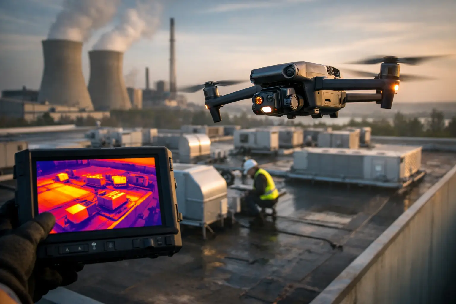
Thermal imaging may also support a claim or maintenance review, but it must be used with care. Thermal patterns can indicate temperature differences that warrant further evaluation. They are not, by themselves, proof of a leak, moisture intrusion, electrical fault, or failed component. The value comes from pairing thermal observations with visual imagery, operating conditions, and qualified review.
Preserve context with disciplined documentation
Every useful image set needs basic context: asset or location identification, date, inspection area, and a logical naming structure. For catastrophe work, this becomes critical. A carrier may be managing dozens or hundreds of locations, and an unlabeled folder of images creates more work than it removes.
Field notes should record conditions that affect interpretation, such as weather, limited access, active repairs, obscured surfaces, or portions of the asset that could not be safely documented. This is not a weakness in the report. It is an honest record of the inspection boundary and helps reviewers understand what the data can and cannot support.
Organize Deliverables for Claims Review
The inspection is only as valuable as the handoff. Claims personnel need files they can locate, understand, and use without sorting through hundreds of unstructured images. A practical delivery package commonly includes a labeled image set, a site overview, annotated images where requested, field observations, and relevant mapping or model outputs.
Organization should reflect how the claim will be reviewed. Group files by building, elevation, roof section, asset component, or assigned area of concern. Use consistent labels that connect close-up evidence to the broader property view. If the adjustment team is comparing current conditions against prior documentation, preserve both data sets clearly and avoid mixing them in the same unlabeled folder.
For high-value or complex losses, a short inspection memorandum can be helpful. It should identify the inspection date, scope, areas documented, observable conditions, limitations, and attached deliverables. The memorandum should remain factual. It is a visual intelligence record, not a substitute for a coverage decision, repair estimate, or engineering opinion.
Create a Review Loop Before the File Goes Cold
Claims move quickly after a catastrophe, and a first inspection does not always answer every question. A review loop lets the adjuster, desk examiner, engineer, or facility representative identify missing views while the site conditions and access arrangements are still current.
This may lead to a targeted return visit for closer imagery of a specific roof penetration, a better view of a damaged tower section, or additional documentation after debris removal. It may also reveal that no second flight is needed because the first package clearly supports the next decision.
The key is to define who reviews the deliverables, how questions are submitted, and how supplemental documentation is tracked. That keeps follow-up work controlled and prevents claims teams from losing time to avoidable back-and-forth.
When Drone Inspection Adds the Most Value
Drone-supported workflows are especially effective when manual access adds cost, delay, or exposure. Large roofs, industrial structures, telecom assets, substations, construction sites, and geographically dispersed property portfolios are common examples. After severe weather, aerial documentation can help triage locations and direct ground teams toward the sites that need immediate attention.
That said, the best method depends on the claim. Ground-level documentation may be sufficient for a small, accessible loss. Aerial data may be most valuable as a supplement when an adjuster needs context but not a full mapping product. For complex assets, the strongest workflow often combines aerial imagery with ground observations and, when needed, specialist evaluation.
Air Reel Technologies supports this kind of field-ready documentation for commercial, industrial, and infrastructure-focused operations, including time-sensitive assignments across Georgia and the Southeast. The emphasis is on accurate aerial data, disciplined execution, and deliverables that support the people responsible for the next decision.
A well-run inspection workflow does more than shorten a site visit. It gives the claims file a clearer visual record while limiting unnecessary exposure around damaged, elevated, or difficult-to-access assets. When the stakes are high, that clarity is what keeps the next decision moving.