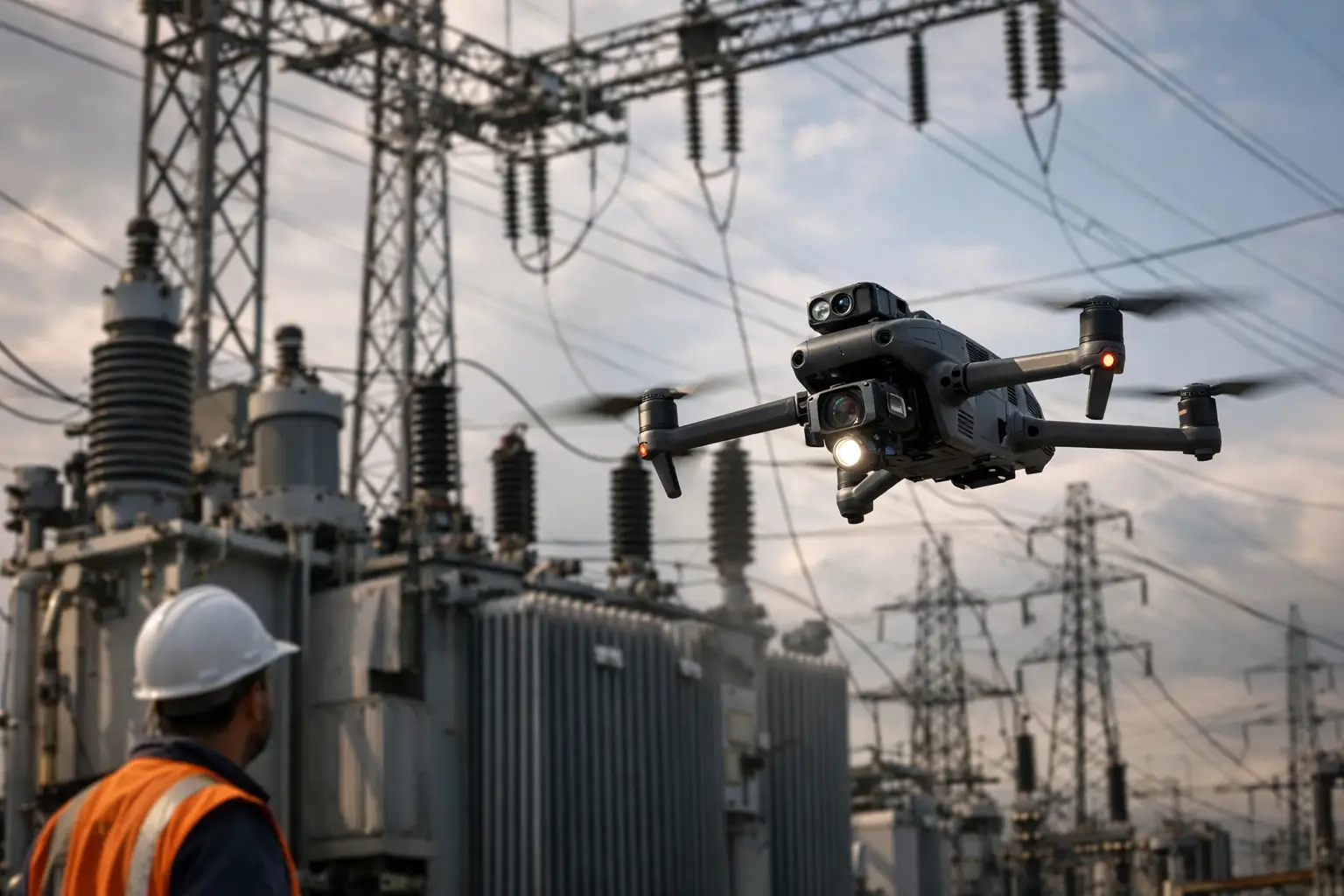
A substation survey is not a routine aerial assignment. It takes place around energized equipment, controlled access points, electromagnetic conditions, vehicle traffic, and systems where one poor decision can create serious operational consequences. Knowing how to survey substations safely means treating every flight, ground observation, and data-collection task as part of a disciplined utility workflow, not simply a camera operation.
The objective is to gather useful visual intelligence while keeping personnel, operations, and the asset protected. High-resolution imagery, thermal data, orthomosaics, and 3D models can help maintenance, engineering, and operations teams see conditions from a safer vantage point. But the data is only valuable when it is collected under an approved plan and within the site owner’s safety requirements.
Start With Site Authorization and a Defined Scope
No substation survey should begin at the gate. Before personnel mobilize, establish who owns the asset, who controls access, what work is authorized, and which areas are off limits. Utilities, co-ops, industrial facilities, and transmission operators may each have different visitor requirements, escort rules, safety briefings, and airspace coordination procedures.
A clear scope prevents unnecessary exposure. Define what the team needs to document: damaged components after a storm, general asset condition, construction progress, thermal anomalies, perimeter conditions, equipment labels, or a current visual record for planning. Determine the required deliverables before selecting the flight path. A broad request for “drone footage” is not enough for a mission-critical asset.
The operating plan should identify the asset boundaries, expected data products, planned launch and recovery areas, personnel roles, communication channels, emergency contacts, and site-specific restrictions. If the substation is near an airport, heliport, transmission corridor, or other controlled airspace, aviation requirements must be addressed before deployment. FAA Part 107 compliance is one part of the operation, not a substitute for utility approval.
Build the Safety Plan Around the Electrical Environment
Substations contain hazards that are not always obvious from outside the fence. Energized buses, transformers, breakers, capacitors, grounding systems, and overhead conductors can create electrical risk even when equipment appears stationary. The facility operator’s rules always govern approach distances, access routes, PPE, and where a crew may stand.
A professional survey crew does not assume that a fenced area is safe to enter or that a visual inspection requires close proximity. Personnel should stay within approved work zones, follow the host’s sign-in and orientation process, and maintain required clearances from energized equipment. If a condition requires a closer review than the approved plan allows, stop and escalate it to the site representative.
Ground conditions deserve the same attention. Survey teams should assess uneven terrain, open trenches, standing water, loose gravel, overhead hazards, vehicle routes, gates, and restricted walkways. Weather also changes the risk profile quickly. High winds, lightning potential, rain, low visibility, and extreme heat can compromise both flight performance and crew judgment.
Establish clear roles before launch
The person flying the aircraft should not also be responsible for every safety decision, client question, and data check. Complex sites benefit from defined roles: a remote pilot in command, a visual observer when appropriate, a site escort or utility representative, and a client point of contact. The exact team size depends on the mission, site rules, and operating environment, but responsibility should never be vague.
Before launch, the crew should confirm the go or no-go decision, radio or phone procedures, aircraft status, weather conditions, launch point, recovery plan, and immediate stop-work triggers. Those triggers may include an unplanned vehicle entering the operating area, a weather warning, unauthorized personnel near the launch zone, loss of communication, or a direction from the site operator.
Use Flight Paths That Minimize Exposure
The safest flight is not always the closest flight. A well-planned mission uses camera resolution, sensor selection, aircraft positioning, and repeatable passes to capture useful data without putting the aircraft near energized equipment or requiring personnel to move deeper into a restricted area.
For a visual survey, establish standoff distances that satisfy site requirements and provide sufficient image detail. Capture wide context images first, then work through systematic passes for transformers, switchgear, breakers, bus structures, control buildings, and perimeter areas as authorized. Consistent overlap and naming conventions help teams compare conditions later without repeating the mission.
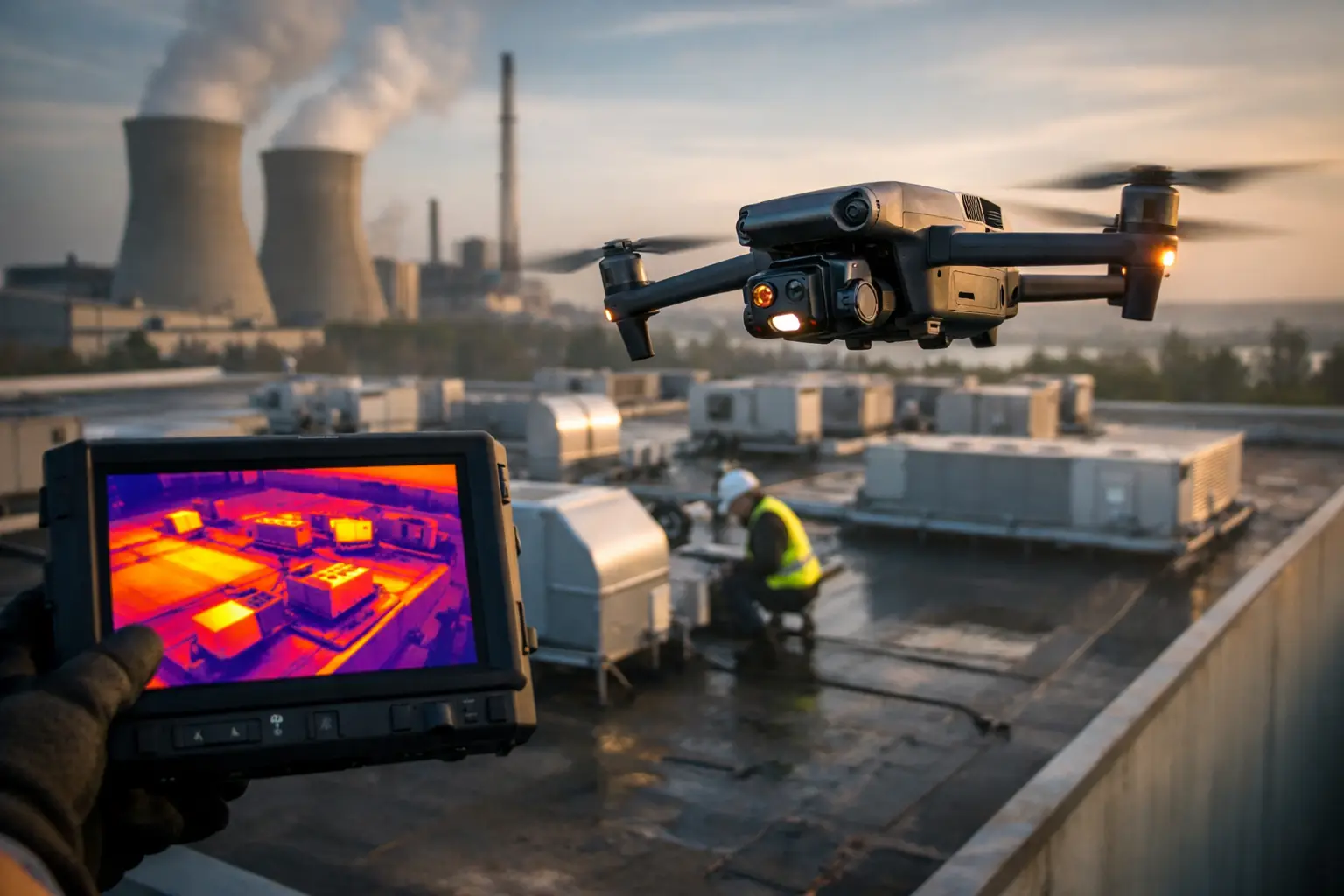
Thermal work requires additional care. Thermal imagery can show temperature differences that may help maintenance teams prioritize a closer review, but it does not diagnose the cause of a condition or certify equipment health. Results can be influenced by load, ambient temperature, emissivity, viewing angle, solar loading, and timing. Coordinate with the asset owner so data collection occurs under conditions that make the images useful for their maintenance process.
Avoid flying directly over people, active work areas, or locations where an aircraft issue could create unacceptable risk. Maintain a conservative operating area and use a launch site that does not force the crew to stand near traffic, gates, or electrical equipment. If the planned vantage point cannot be achieved safely, document the limitation and adjust the deliverable rather than improvising in the field.
Treat the Aircraft as a Professional Tool, Not the Safety System
Drone technology can reduce the need for ladders, bucket trucks, elevated work, and repeated walks around an asset. That reduction in exposure is a meaningful advantage. It does not eliminate the need for qualified personnel, approved procedures, or engineering judgment.
Preflight checks should cover the aircraft, batteries, propellers, controller, sensors, firmware status, storage capacity, compass or positioning conditions as applicable, and return-to-home settings. Crews should also confirm that the planned return path will not cross a restricted area or route the aircraft toward energized equipment.
Critical infrastructure sites may introduce radio-frequency interference, GPS degradation, signal obstruction, or other environmental conditions that affect aircraft behavior. The appropriate response is not to force the mission. If control reliability, positioning, or situational awareness is compromised, land safely and reassess with the site representative. A partial data set collected safely is more valuable than a complete data set obtained through unnecessary risk.
Protect Sensitive Data and Maintain a Defensible Record
Substation imagery can contain sensitive details about equipment layout, access controls, asset condition, and operational infrastructure. The collection plan should establish who receives the files, how they are named, how long they are retained, and how they are transferred. Access should be limited to authorized stakeholders.
Field documentation is equally important. Record the date, time, weather, personnel, site contact, operating limitations, mission areas completed, and any areas that could not be surveyed. For recurring inspections, consistent camera angles and repeatable routes make it easier to identify visible change over time.
Deliverables should match the business decision. An engineering team may need georeferenced mapping or a 3D model for planning. A maintenance group may need organized imagery of specific assets. An insurance or catastrophe-response team may need time-stamped documentation that establishes observed conditions after an event. Clear labeling and usable file organization often matter as much as image quality.
Know When to Stop, Escalate, or Bring in the Right Specialist
A survey team should never attempt to interpret a visible issue beyond its authority or represent aerial imagery as proof of structural integrity, electrical safety, or regulatory compliance. If the crew observes damaged conductors, apparent oil leakage, unusual heat patterns, open gates, storm debris, or any condition that appears to present an immediate concern, the correct action is to notify the designated site contact and follow the facility’s reporting procedure.
It also depends on the purpose of the mission. A post-storm documentation flight may prioritize rapid, wide-area visual coverage once access is approved. A planned maintenance survey may prioritize repeatability, sensor consistency, and coordination with equipment load conditions. Construction documentation may require mapping control and regular capture intervals. One method does not fit every substation.
For utilities and industrial operators in Georgia, Alabama, South Carolina, and Tennessee, Air Reel Technologies approaches these assignments with the same discipline required by the asset: approved planning, FAA Part 107-certified operations, professional insurance coverage, and data collection built around the client’s safety process.
The right substation survey leaves the team with more than images. It gives the people responsible for the asset clear, organized visual information while keeping the field operation controlled, traceable, and appropriately cautious.