Underwriting a large commercial property from incomplete photos, old inspection notes, and street-level views leaves too much open to interpretation. A practical guide to insurance underwriting imagery starts with a simple standard: visual documentation should help the underwriter see material conditions, assess exposure, and preserve a defensible record without creating unnecessary site risk or delay.
For industrial facilities, construction projects, utility assets, and large commercial portfolios, aerial imagery can provide that perspective. The value is not the aircraft or the camera. It is the disciplined capture plan, the quality of the documentation, and the ability to organize visual evidence around real underwriting questions.
What Insurance Underwriting Imagery Should Accomplish
Useful underwriting imagery gives a reviewer enough context to understand an asset and enough detail to identify conditions that may affect risk. It should establish where a condition exists, what it appears to be, how extensive it is, and when it was documented.
That requires more than a collection of attractive overhead images. A wide establishing view may show roof layout, adjacent exposures, access routes, drainage patterns, setbacks, vegetation, and nearby operations. Closer imagery can document rooftop equipment, membrane condition, flashing, penetrations, parapets, exterior cladding, tanks, conveyors, transmission structures, or other asset-specific concerns.
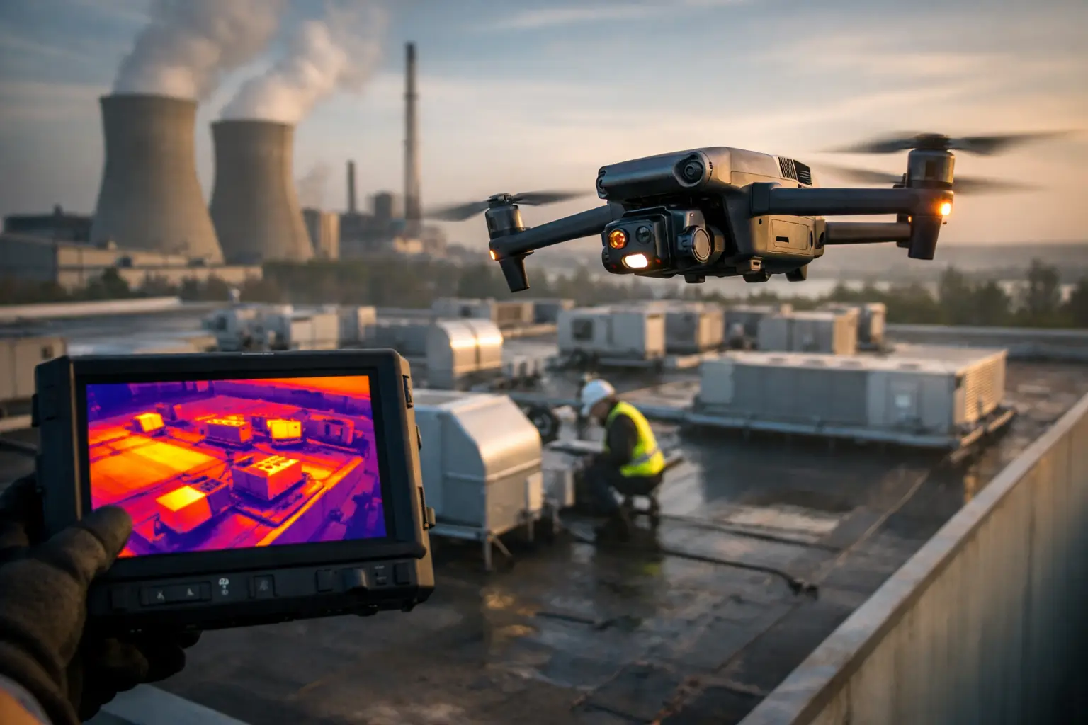
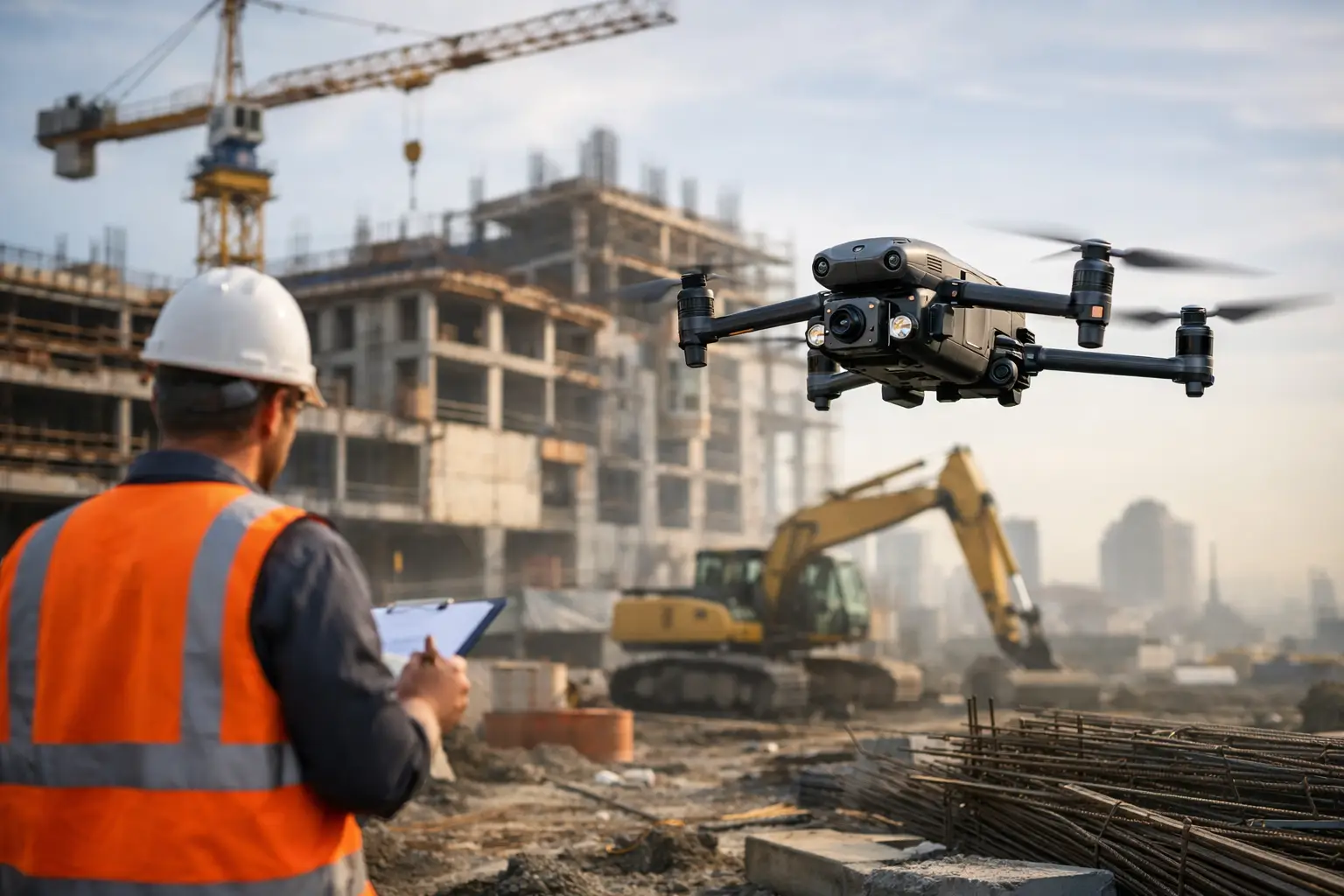
The right approach depends on the property. A distribution center may require roof, loading area, stormwater, and neighboring exposure documentation. A power-generation or industrial site may require carefully planned imagery of exterior structures, access areas, cooling equipment, and visible asset conditions, subject to site authorization and operating procedures. A construction risk may call for recurring progress documentation that records changes in site conditions and values over time.
Imagery supports underwriting judgment. It does not replace an engineer, adjuster, risk-control professional, or qualified inspector, and it should not be represented as proof of structural integrity. Its role is to provide clear visual intelligence that helps the appropriate professionals prioritize questions and make better-informed decisions.
Build the Capture Plan Around Underwriting Questions
The strongest imagery programs begin before deployment. Underwriting, risk engineering, and operations teams should identify what they need to know, rather than asking a field crew to simply capture everything visible.
Start with the asset profile. Consider construction type, occupancy, age, roof configuration, prior loss history, natural catastrophe exposure, adjacent properties, equipment concentrations, and known maintenance issues. Then translate those risk factors into required views and deliverables.
For example, a property with substantial roof-mounted mechanical equipment may need broad roof coverage plus detailed views of equipment zones, drains, curbs, and penetrations. A site near a wooded area may need perimeter documentation that shows vegetation management and access conditions. For a facility with large exterior storage or process equipment, images should clarify spacing, containment features, access paths, and visible deterioration where relevant.
A defined scope also avoids a common problem: a large volume of imagery that no one can efficiently review. The objective is not to maximize image count. It is to capture sufficient, repeatable evidence for the intended decision.
Establish a consistent view hierarchy
A useful capture sequence generally moves from broad context to specific detail. Begin with overall site views that orient the reviewer. Follow with asset-level coverage of roofs, exterior elevations, yards, and key equipment areas. Then gather close-range images of observed conditions that warrant documentation.
This hierarchy lets an underwriter move from a site-wide question to the relevant detail without losing context. It also makes the file more useful months later, when someone unfamiliar with the original review needs to understand what was observed.
Define what “current” means
Time matters in underwriting. An image from last year may be adequate for a stable facility, but it may be insufficient after a major storm, a construction phase change, a tenant turnover, or a significant maintenance event.
Every image set should retain capture dates, location context, and clear labeling. For recurring programs, use comparable flight paths and viewpoints where feasible. Consistency makes change easier to identify, whether the change is a newly installed rooftop unit, standing water, construction progress, damaged cladding, or an expanding storage area.
Choose Deliverables That Fit the Review Workflow
Individual high-resolution images remain essential, particularly when a reviewer needs close detail. But files become more useful when images are delivered with an organized structure and supporting documentation.
A labeled image set can group photos by building, elevation, roof zone, asset type, or observed condition. An aerial site overview helps orient users quickly. For larger sites, an orthomosaic map can provide a high-detail, top-down visual reference across the property. A 3D model may be helpful where roof geometry, exterior equipment placement, or building massing needs additional context.
Thermal imagery can add value in selected assignments, such as identifying temperature differentials that may warrant further review. Its use requires the right environmental conditions, operating conditions, timing, equipment, and interpretation. Thermal data should be treated as a screening and documentation tool, not as a standalone diagnosis.
The appropriate package depends on the account and the intended workflow. A single-location renewal may need a concise, labeled image report. A portfolio review or major construction program may benefit from standardized map layers, recurring documentation, and a data structure that supports comparison across sites.
Quality Control Protects the Underwriting File
Image quality is not limited to resolution. An image can be technically sharp and still be unhelpful if it lacks context, is poorly framed, includes excessive glare, or does not show the area needed for review.
Professional field execution includes pre-mission planning, weather assessment, airspace and site coordination, safe operating procedures, and a review process before delivery. FAA Part 107 certification and appropriate insurance coverage are baseline credibility factors for commercial aerial work. For complex industrial or critical infrastructure environments, experience with site rules, operational constraints, and disciplined documentation practices matters just as much.
A quality-control review should verify that the scope was completed, required areas are visible, image labels are accurate, and exceptions are documented. If a roof section could not be safely or legally captured because of access restrictions, weather, site operations, or airspace limitations, that should be stated plainly. A transparent exception is better than an assumed gap.
Use Imagery to Reduce Friction, Not Add Another Data Silo
Underwriters and risk teams already manage submissions, inspection reports, loss data, valuation information, and correspondence. Aerial documentation should reduce review time, not create an unmanageable folder of files.
The practical answer is organization. Name files consistently. Separate overview images from detail images. Use location labels that correspond to site plans or building identifiers. Include a concise field summary that identifies what was captured, the date of capture, relevant site limitations, and notable visible conditions requiring follow-up.
For catastrophe response, speed and consistency become even more important. Carriers may need broad property documentation across affected areas while access is limited and conditions change quickly. A disciplined aerial team can help document visible exterior impacts, roof conditions, site access, debris fields, and surrounding exposure conditions while reducing the need for personnel to enter potentially hazardous areas prematurely.
That does not mean aerial imagery answers every claim or underwriting question. Ground verification, specialist review, and site access may still be necessary. The advantage is that better visual context helps teams decide where those higher-cost, higher-exposure resources should go first.
Common Mistakes in Insurance Underwriting Imagery
The first mistake is treating imagery as a one-time visual add-on. If documentation is not tied to a specific underwriting, risk-control, renewal, or catastrophe workflow, it often becomes difficult to use.
The second is capturing detail without context. A close image of roof damage may be useful, but the reviewer also needs to know which roof area is shown, its relationship to equipment or drainage, and whether the condition appears isolated or widespread.
The third is asking aerial crews to make technical determinations outside their scope. Field teams should document visible conditions accurately and flag areas for review. They should not diagnose causes, certify repairs, or make engineering conclusions unless separately qualified and authorized to do so.
Finally, avoid assuming every site can be documented the same way. Airports, restricted airspace, active construction zones, high-security facilities, power infrastructure, weather conditions, and client operating requirements can affect planning. A capable provider addresses those constraints early and builds a safe, compliant plan around the assignment.
A Better Standard for Property Risk Documentation
The best underwriting imagery is current, deliberate, well-labeled, and easy to review. It gives decision-makers a clear visual record of the property while limiting unnecessary site visits, reducing exposure for field personnel, and improving the ability to focus attention where it matters.
For complex commercial and industrial assets, that standard is especially valuable. Air Reel Technologies supports insurance and infrastructure teams with professional aerial documentation built for demanding sites, changing conditions, and decisions that cannot rely on guesswork. When the visual record is planned with the underwriting question in mind, it becomes more than a set of images – it becomes usable evidence for the work ahead.