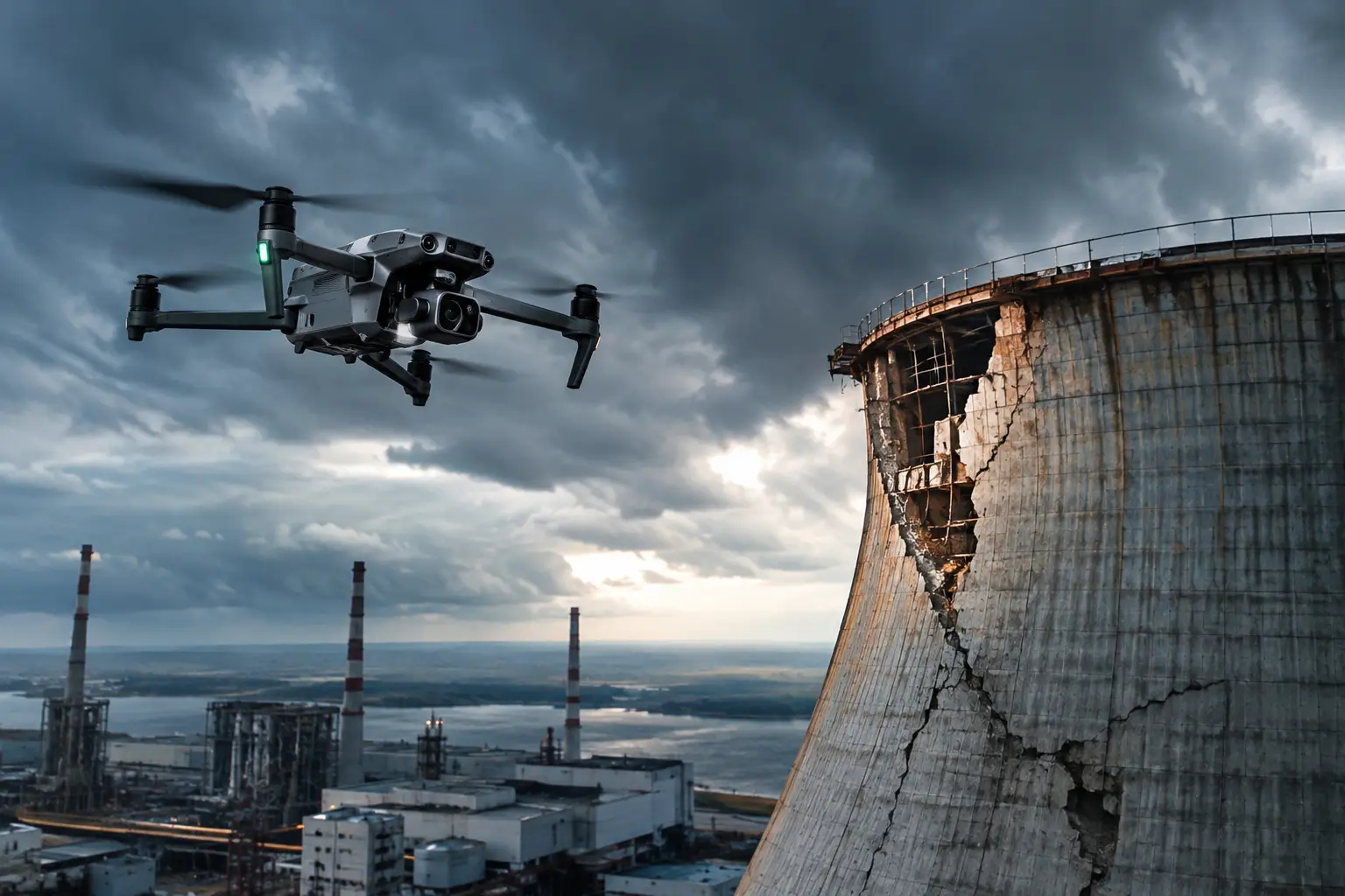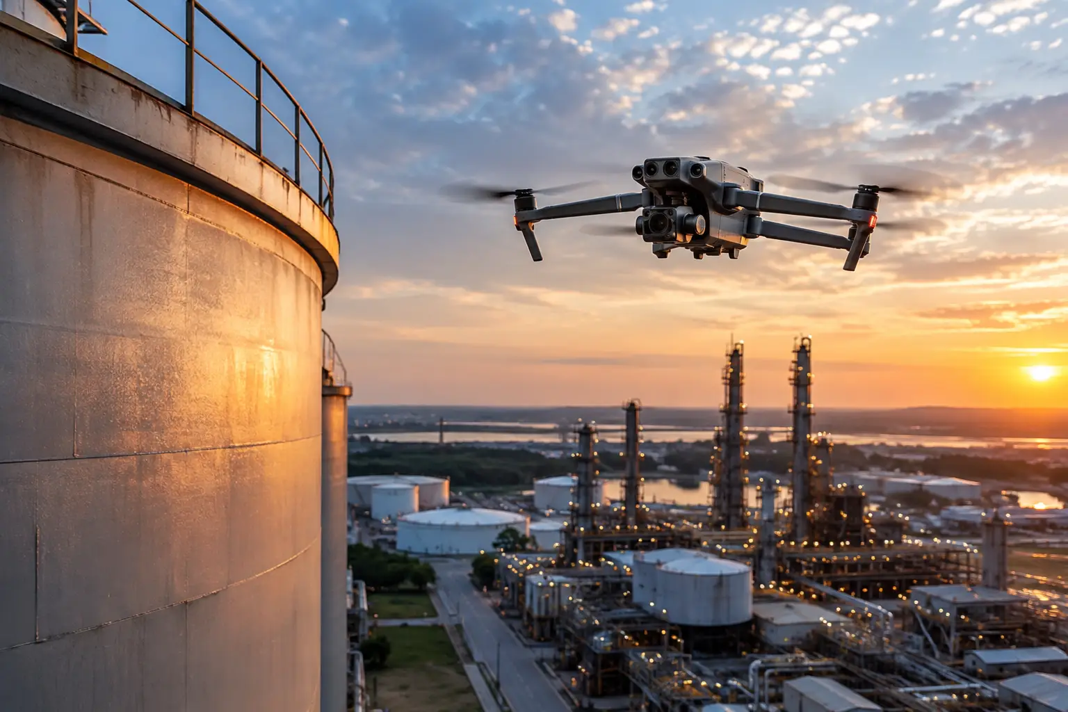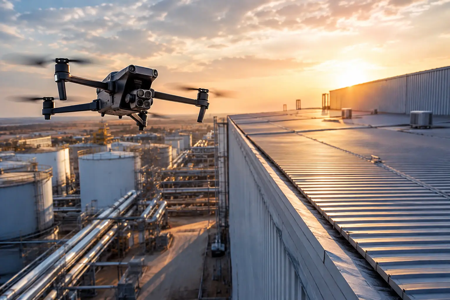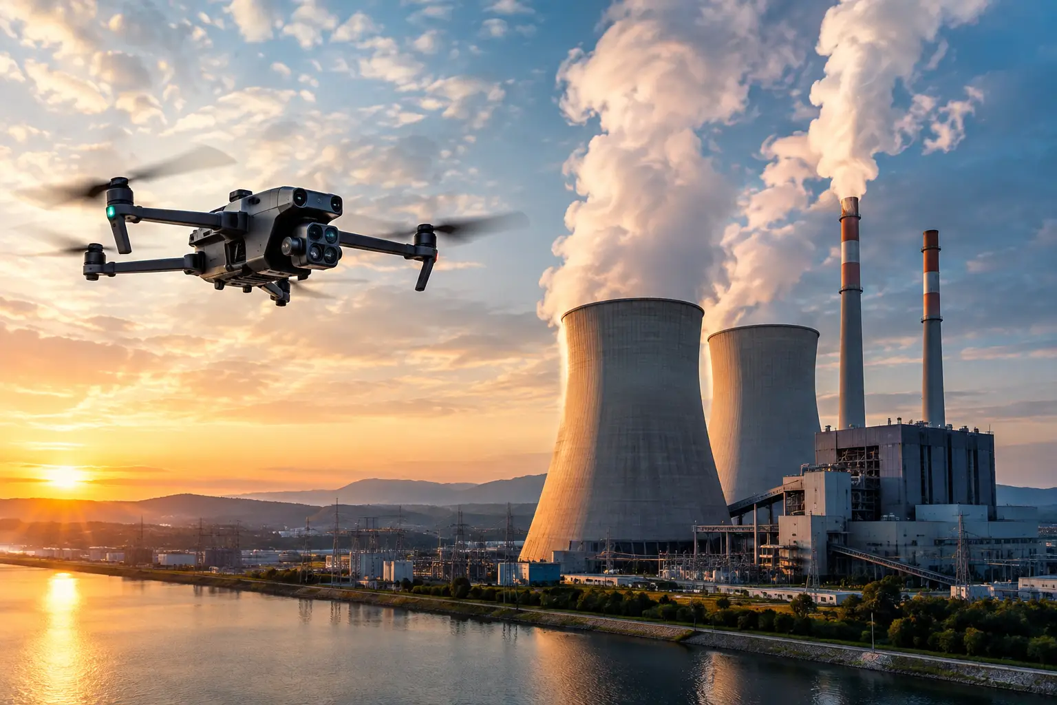
A tower inspection delayed by wind, a construction site changing by the day, or a storm-damaged facility awaiting a claim decision all create the same pressure: get reliable visual information without adding unnecessary exposure to people, assets, or schedules. FAA compliant industrial drone operations give teams a controlled way to collect that information, but compliance is more than arriving with a certified pilot and a drone.
For commercial and industrial work, the quality of the operation is determined before takeoff. The mission must account for airspace, site conditions, crew responsibilities, aircraft capability, data requirements, and the operating limits that apply to the flight. When those controls are handled correctly, aerial inspection and documentation can reduce ladder climbs, limit equipment staging, shorten site visits, and provide a stronger visual record for operations, engineering, construction, and insurance teams.
FAA Compliance Is an Operating Discipline
FAA Part 107 certification is the baseline for most commercial small-drone work. It establishes that the remote pilot in command has met the FAA’s knowledge requirements and is responsible for the safety of the operation. For industrial clients, however, that credential should be viewed as the starting point rather than the full compliance plan.
A compliant mission also requires the right aircraft registration, adherence to Remote ID requirements where applicable, a current assessment of airspace restrictions, and an operational plan that stays within the applicable rules. Flights in controlled airspace may require authorization. Temporary flight restrictions, nearby airports, heliports, emergency activity, and changing local conditions can affect whether a mission can proceed as planned.
The distinction matters because a qualified pilot is not automatically authorized to fly every location, every altitude, or every mission profile. A substation near an airport, a cooling tower inside a restricted facility, and a large construction project beside a hospital heliport each present different planning demands. Facility permission is also separate from FAA authorization. A site owner may approve access, but the flight still must meet airspace and operational requirements.
FAA Compliant Industrial Drone Operations Start Before Arrival
The strongest industrial drone missions are planned around the decision the client needs to make. A project manager tracking steel installation needs repeatable site coverage and consistent viewpoints. A facility maintenance team may need close visual documentation of a rooftop, stack, or transmission structure. An insurance team responding after a storm may need time-stamped imagery that establishes conditions before cleanup or repair activity changes the scene.
Defining the deliverable first determines the flight plan, sensor selection, crew size, and level of documentation required. It also prevents a common failure: collecting hundreds of images that look useful but do not answer the operational question.
Airspace and regulatory review
Before deployment, the remote pilot should review the planned operating area for airspace classification, published restrictions, and conditions that could affect the flight. This review should be current, not based on a previous visit or a general assumption about the location.
Operational limits deserve the same attention. Part 107 requirements address issues such as visual line of sight, right-of-way, weather visibility, aircraft condition, and operations over people or moving vehicles. Some missions may require a different operational approach, additional controls, or FAA authorization or waiver depending on the circumstances. If the required conditions cannot be met, the right answer is to adjust the mission or decline the flight.
Site hazards and coordination
Industrial sites introduce hazards that do not appear on a basic airspace map. Cranes, energized equipment, guy wires, rotating machinery, active vehicle routes, RF interference, steam, dust, heat, and restricted work zones can all affect safe flight execution. The crew needs a site-specific understanding of where the aircraft can launch, where it can recover, and what conditions require the mission to pause.
Coordination with the site contact is essential. The drone team should know who controls access, what work is occurring nearby, whether there are shutdown windows, and which areas require escorts or additional safety procedures. On active construction sites, this coordination helps avoid conflicts with lifts, cranes, concrete operations, and changing site traffic patterns. At energy and industrial facilities, it supports the client’s existing safety and access protocols without interfering with operations.
Field Controls Protect the Mission and the Asset
Once on site, compliance becomes a matter of disciplined execution. A professional operation begins with an aircraft inspection, battery checks, weather review, confirmation of the flight area, and a briefing that assigns responsibilities. For more complex missions, a visual observer may provide an added layer of situational awareness while the remote pilot maintains control of the aircraft.
The crew should establish clear stop-work conditions. Increasing wind, approaching weather, unexpected aircraft activity, unauthorized personnel entering the launch area, or a change in site operations may justify delaying or ending the flight. That is not lost productivity. It is the control that protects the client from an avoidable incident and preserves the integrity of the data collection effort.
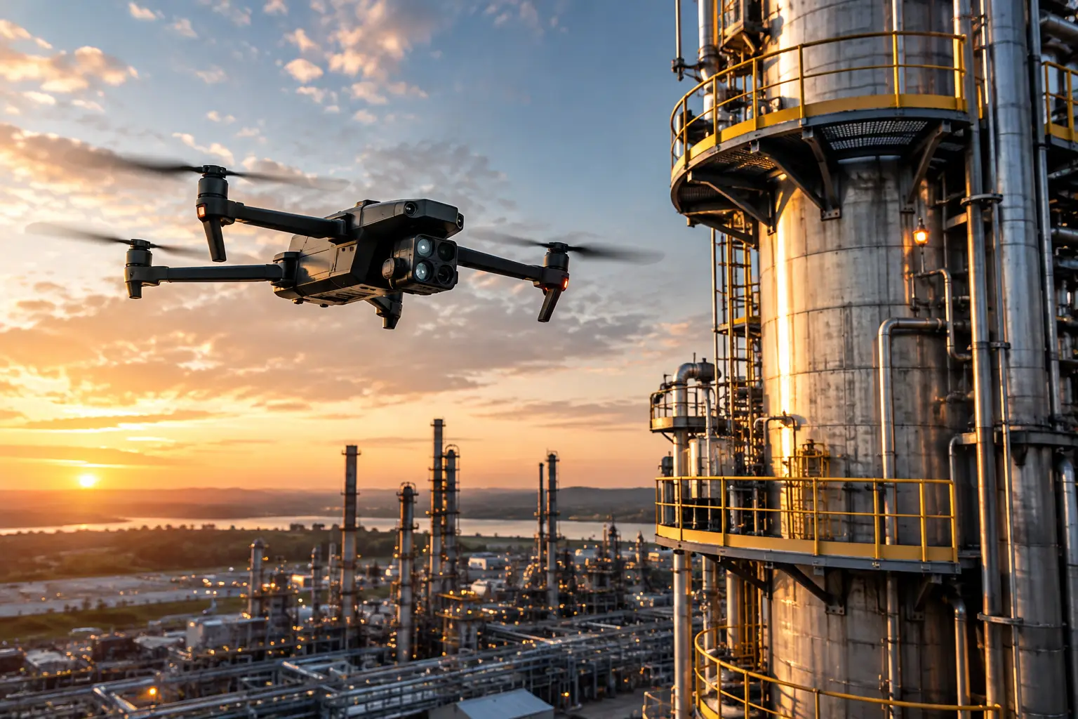
Close-proximity inspections require particular judgment. Flying near cell towers, transmission structures, cooling towers, industrial roofs, and plant equipment can produce valuable visual detail while reducing the need for repeated manual access. Yet proximity also increases the consequences of poor planning. The aircraft, flight path, lighting conditions, electromagnetic environment, and obstacle profile all need to be considered. Drone imagery can support inspectors, engineers, and maintenance teams, but it does not replace their professional evaluation or certify an asset’s condition.
Data Quality Is Part of Compliance
A flight can follow FAA rules and still fail the client if the resulting files are disorganized, incomplete, or difficult to verify. Industrial aerial data must be captured with the end use in mind. That may mean overlapping imagery for an orthomosaic, controlled flight paths for repeatable progress documentation, thermal images collected under suitable conditions, or detailed close-range photographs labeled by asset location.
Metadata, capture dates, flight records, image organization, and secure delivery methods help establish the usefulness of the final package. For claims and catastrophe documentation, timing and file integrity can be especially important. For construction, consistent angles and mapped coverage allow teams to compare changes across reporting periods. For facilities, clear image naming and location references help maintenance personnel identify what they are reviewing without searching through an unstructured image library.
Thermal imaging also requires restraint and context. It can identify temperature differences that may warrant further review, but readings can be affected by emissivity, reflections, weather, viewing angle, and operating conditions. A professional provider should present thermal data as actionable visual intelligence, not as a diagnosis beyond what the data supports.
What to Expect From a Qualified Provider
Industrial buyers should evaluate a drone services partner on operational readiness, not on a highlight reel. Ask whether the provider can document Part 107 credentials, insurance coverage, aircraft registration, and an established process for airspace and site-risk review. Confirm that the provider understands the asset type, can work within facility safety requirements, and has a defined approach to data handling and deliverables.
Experience matters most when conditions are not routine. Disaster-response deployments, active construction sites, utility corridors, telecom structures, and complex industrial facilities require a crew that can communicate clearly, adapt to field conditions, and make conservative decisions when the mission changes. The goal is not simply to get airborne. It is to collect usable information without creating new risk.
Air Reel Technologies applies that field-tested approach to aerial inspection, mapping, thermal documentation, and visual data collection for demanding commercial and infrastructure environments. For projects across the Southeast and larger deployments nationwide, the work begins with mission planning that respects both FAA requirements and the realities of the site.
Build Compliance Into the Scope of Work
The most effective time to address compliance is when the inspection, mapping, or documentation scope is being written. Give the drone provider the site location, asset type, expected deliverables, access constraints, work schedule, and known hazards early. That allows the team to identify airspace issues, select the right flight approach, coordinate with site personnel, and avoid last-minute changes that can delay a critical task.
A well-planned aerial mission does more than produce images. It gives decision-makers a timely, defensible view of conditions while keeping the operation grounded in safety, authorization, and practical field control. When a high-value asset needs attention, that discipline is what turns a drone flight into useful operational intelligence.