A superintendent needs an updated view of 80 acres before the weekly owner meeting. A utility manager needs imagery of a transmission corridor after a storm. An engineer needs verified elevations for design work. In each case, the question of drone surveys vs ground surveys is not about choosing a newer tool over an older one. It is about selecting the right data-collection method for the decision, the asset, the required accuracy, and the risk on site.
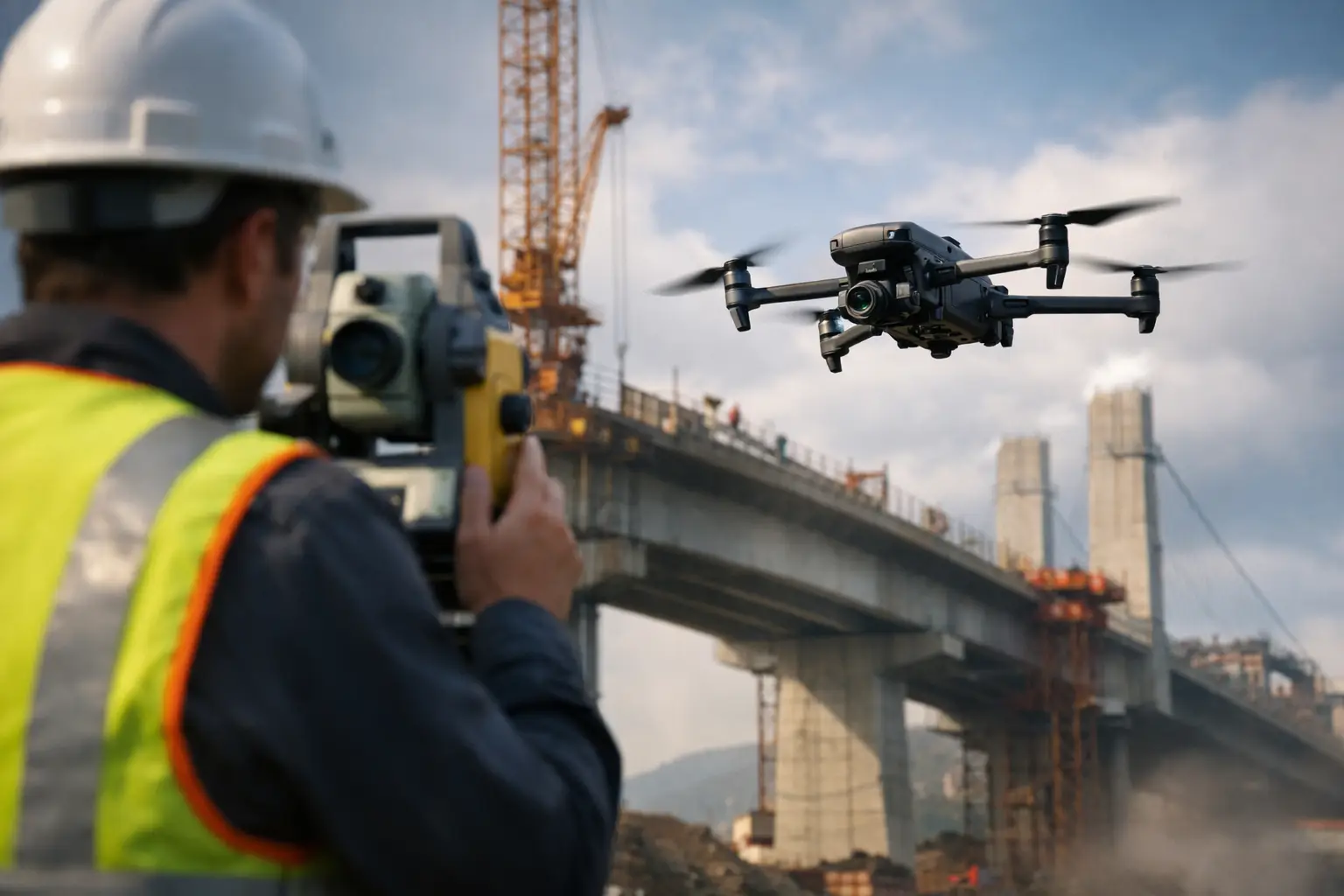
For commercial construction, industrial facilities, utilities, telecom, and insurance operations, drone-based mapping can reduce field time and improve visual coverage. Ground survey crews remain essential where precise control, legal boundaries, subsurface conditions, and survey-grade verification are required. The strongest workflow often uses both.
Drone Surveys vs Ground Surveys: The Core Difference
Ground surveys collect measurements directly on the site using tools such as total stations, GNSS receivers, levels, and field notes. Crews physically occupy points, record elevations, establish control, and verify conditions at close range. This method is highly dependable for precise point measurements and work that requires licensed land-surveying oversight.
Drone surveys collect a large volume of aerial imagery and, when appropriate, thermal or other sensor data. That imagery can be processed into orthomosaic maps, 3D models, point clouds, elevation surfaces, progress documentation, and visual inspection records. Instead of measuring a limited number of points from the ground, a drone workflow creates broad site coverage that teams can review repeatedly.
The distinction matters: a drone flight is not automatically a legal land survey. The accuracy and permitted use of the final deliverable depend on the equipment, flight planning, ground control, processing method, site conditions, and applicable state requirements. When a project needs boundary determination, official plats, certified elevations, or other regulated survey deliverables, a licensed surveyor should direct or validate the work as required.
Where Drone Data Produces Better Results
Drone mapping is especially useful when the site is large, changing quickly, difficult to access, or unsafe to walk. On an active construction project, a current orthomosaic can show earthwork progress, material staging, equipment locations, access routes, drainage patterns, and areas that need attention. A project team gains a consistent visual record without sending personnel across the entire site every time conditions change.
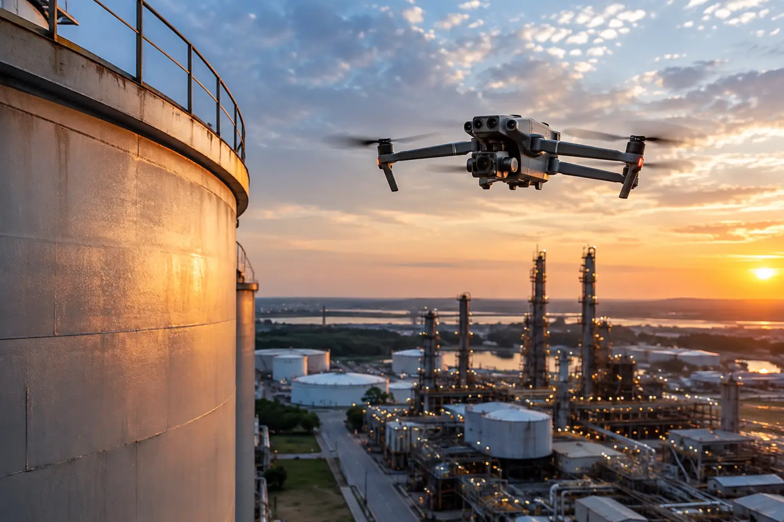
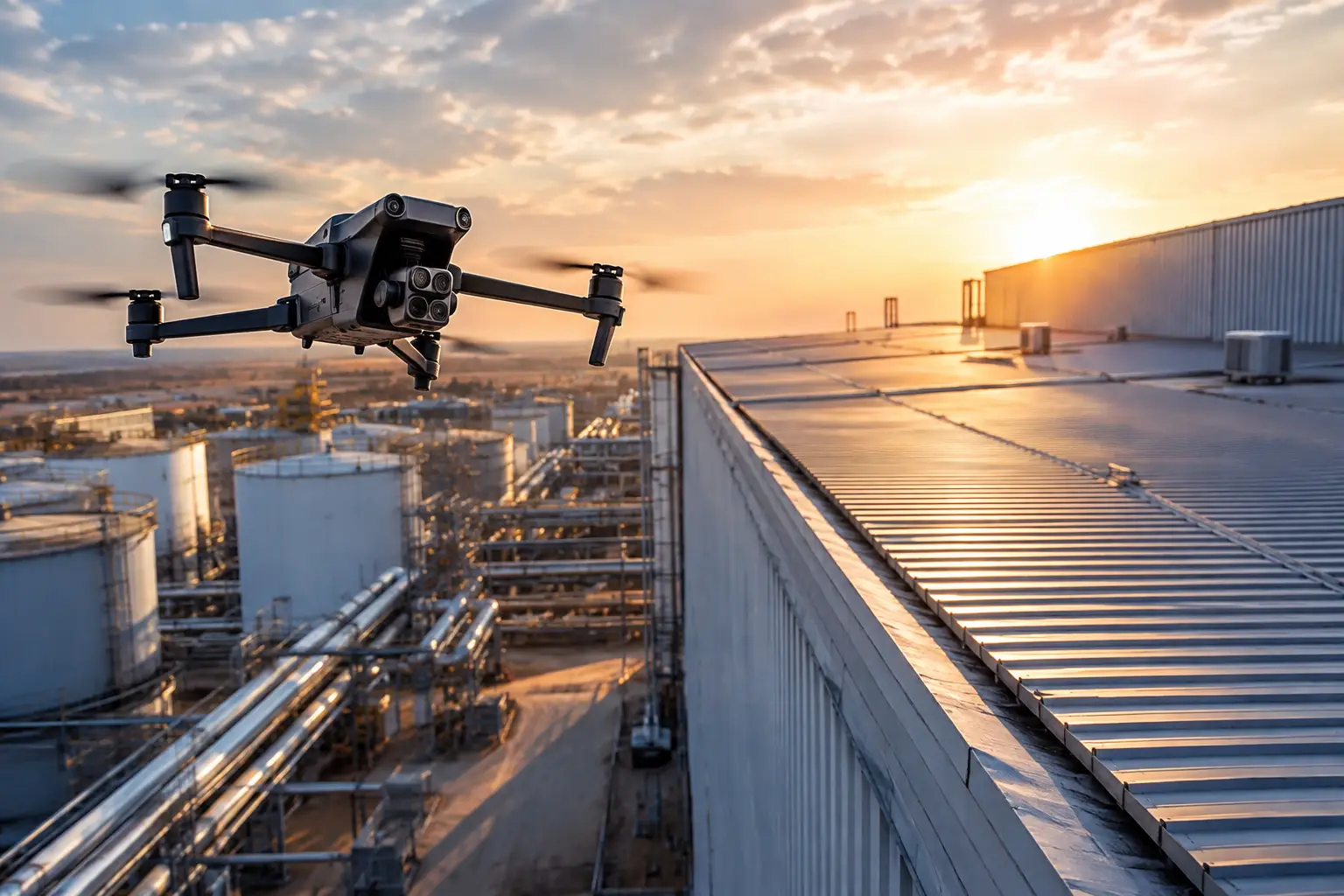
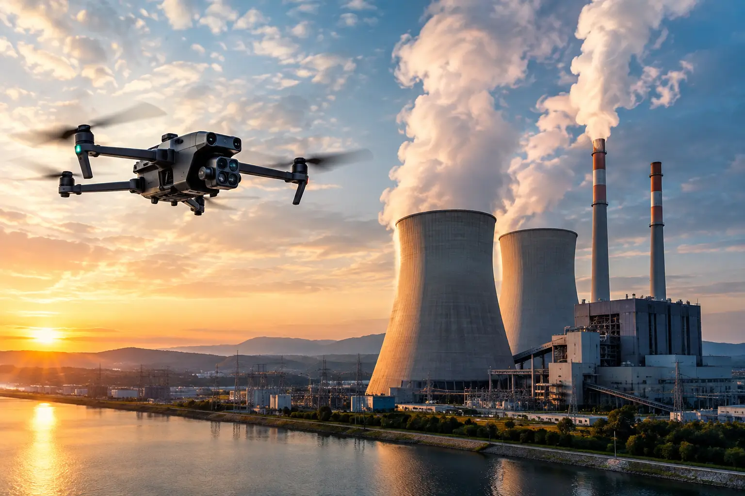
For industrial assets, the value is often in access and exposure reduction. Aerial inspection imagery can document cooling towers, elevated pipe racks, industrial rooftops, transmission structures, cell towers, and exterior plant components from viewpoints that may otherwise require lifts, scaffolding, rope access, shutdown planning, or lengthy field mobilization. The drone does not replace the inspection authority or engineering judgment. It gives those teams clearer visual information before they commit people and equipment to the asset.
After a severe weather event, speed becomes even more important. Drone documentation can help insurance teams, facility operators, and catastrophe-response coordinators establish a condition record across a broad area quickly. High-resolution imagery helps identify visible damage, prioritize follow-up inspections, and preserve documentation while conditions are still fresh.
Drone workflows also support repeatability. When flights follow a defined plan, teams can compare the same area over time rather than relying only on photos taken from changing locations. That is useful for construction progress reporting, stockpile tracking, erosion observation, corridor monitoring, and recurring exterior asset reviews.
When Ground Surveys Are the Better Choice
Ground crews remain the right choice when the job requires direct, highly controlled measurements at specific locations. Layout work, property boundaries, legal descriptions, utility locates, settlement monitoring, finished-floor elevations, and fine-grade verification are not situations to treat as a simple aerial mapping exercise.
Dense vegetation, heavy shadows, standing water, reflective surfaces, steep terrain, and obstructed views can also limit what aerial imagery can reliably show. A drone cannot see through tree canopy to capture the actual ground surface, and it cannot document buried utilities. It may identify a drainage concern or a corridor obstruction, but field verification is still necessary before a crew makes construction, maintenance, or safety decisions.
Ground surveys are also better suited to conditions where small tolerances control the outcome. A grading contractor checking final elevations near a structure may need measurements beyond what an aerial model can provide alone. Likewise, an engineering team may need direct observations at specific points rather than a generalized surface model across an entire site.
Accuracy Is a Workflow Question, Not a Marketing Claim
The most common mistake in this comparison is asking whether drone data is accurate without defining accurate for what purpose. A construction executive reviewing weekly progress may need a current, georeferenced overview with consistent measurement capability. A surveyor establishing a boundary monument needs a different standard. A plant manager documenting a visible roof anomaly has another.
Drone accuracy depends on disciplined field execution. Proper flight altitude, image overlap, camera calibration, site control, checkpoints, weather conditions, and processing quality all affect the result. Ground control points and independent checkpoints can improve confidence in mapping outputs, particularly on large construction sites or terrain with significant elevation change.
A credible provider should be clear about the intended use of the data before mobilization. If the output will support planning, volume estimates, progress tracking, visual documentation, or preliminary assessment, a properly planned drone mission can be highly effective. If the result will be used for regulated survey certification, property rights, or precision construction layout, the workflow should involve the appropriate licensed professional and verification procedures.
Cost and Schedule: Look Beyond the Flight Time
A drone may capture a large site in hours, but the business value is not simply faster flight time. The real savings can come from limiting labor-intensive walks, reducing repeated mobilizations, avoiding unnecessary access equipment, and giving decision-makers usable data sooner.
Consider a construction site that needs monthly documentation. A ground crew can collect detailed point data, but covering every visible condition across the project would take substantial time. A drone mission can produce a sitewide visual baseline and map while allowing the ground team to focus its effort on control points, critical grades, and areas that need direct verification.
The same principle applies to industrial inspections. If aerial imagery shows a suspected issue on a stack, roof, or transmission structure, the maintenance team can better plan the next step. They may still need close-contact inspection or repair access, but they are not starting blind. This can reduce disruption and make shutdown, lift, or rope-access planning more deliberate.
Cost should also include risk. Sending personnel into active traffic areas, near energized infrastructure, onto unstable surfaces, or up elevated structures carries planning and exposure considerations that do not appear in a simple hourly rate. Aerial data collection can reduce some of that exposure, provided operations are conducted within approved airspace, site safety rules, and an appropriate flight plan.
The Best Answer Is Often a Combined Workflow
For many demanding projects, drone and ground surveys are not competing methods. They are complementary layers of information.
A construction team might establish site control with ground-based methods, then use recurring aerial mapping to document progress and calculate preliminary volumes. A utility operator may use drone imagery to screen a corridor or structure, then dispatch field personnel to examine confirmed areas of concern. An insurance team may use aerial documentation to assess the scale of visible loss, followed by ground-level review where claim decisions require closer evidence.
This combined approach gives teams coverage and context without treating aerial data as a substitute for every field task. It also creates a stronger record. The map shows where conditions exist across the site, while ground observations provide direct verification where precision or close inspection is necessary.
Choosing the Right Method for Your Asset
Start with the decision the data needs to support. If the goal is broad documentation, construction progress, exterior condition review, stockpile measurement, post-event assessment, or access to elevated and hazardous areas, drone-based collection is often the practical first move. If the goal involves legal boundaries, certified survey work, exact layout, subsurface information, or very tight tolerances, ground-based methods should lead the process.
Then consider the operating environment. Large sites, active work zones, remote corridors, tall structures, and difficult exterior assets often favor aerial coverage. Confined spaces, obstructed ground, indoor areas without a suitable flight plan, heavy canopy, and precision control points may require field crews or a coordinated approach.
Air Reel Technologies supports teams that need professional aerial mapping, inspection imagery, thermal documentation, and repeatable visual data for complex commercial and industrial environments. The work begins with the asset, the decision, and the required deliverable – not a one-size-fits-all flight.
The useful question is not whether drones will replace ground survey crews. It is whether your next project has people collecting data in places where aerial coverage can provide a faster, safer, and more complete first view.