A superintendent needs an accurate picture of a 200-acre jobsite before the morning coordination meeting. A utility manager needs documentation of an inaccessible corridor after a storm. In both cases, the question is not simply whether drone photogrammetry versus survey crews is cheaper. The real question is which method produces the data needed, at the required accuracy, without adding unnecessary time, risk, or disruption.
For commercial construction, industrial facilities, utilities, and other high-value assets, the strongest answer is often not an either-or decision. Drone photogrammetry and experienced survey crews serve different functions. Used together, they can give project and operations teams a broader view of changing conditions while preserving the control and professional oversight required for decisions that carry legal, engineering, or construction consequences.
Drone Photogrammetry Versus Survey Crews: The Core Difference
Traditional survey crews measure defined points and features from the ground using instruments such as total stations, GNSS receivers, and levels. Their work is deliberate and highly targeted. A crew can establish control, stake layout, verify elevations, locate utilities where appropriate, and collect measurements for boundary, design, and construction purposes.
Drone photogrammetry takes a different approach. A planned aerial mission captures overlapping images across a site or asset. Processing software identifies common points across those images to create deliverables such as orthomosaic maps, point clouds, digital surface models, contour data, and 3D models. When a project requires geospatial accuracy, ground control points or checkpoints can tie the aerial dataset to known coordinates.
The distinction matters. Survey crews excel at precise, point-specific field measurement. Drone photogrammetry excels at collecting a detailed visual and spatial record across a large area. One measures selected locations exceptionally well. The other reveals the condition, context, and change across the full site.
Neither method should be treated as a shortcut around professional surveying requirements. Boundary determinations, legal plats, construction staking, and other work that requires a licensed surveyor remain within the proper scope of qualified survey professionals. Aerial data can support those workflows, but it does not replace the judgment, responsibility, or certification associated with licensed survey work.
Where Drone Photogrammetry Creates an Operational Advantage
The most immediate benefit is coverage. A ground crew can collect highly accurate observations, but collecting dense information over a large construction site, aggregate operation, transmission corridor, or industrial roof takes time. A drone can document thousands of square feet or hundreds of acres in a single planned collection window, subject to airspace, weather, site access, and safety requirements.
That coverage changes the discussion during project reviews. Instead of relying only on a few measurements or outdated progress photos, teams can reference a current orthomosaic or 3D site model. They can see haul-road changes, stockpile movement, grading progress, drainage patterns, laydown areas, access constraints, and work completed across the entire site.
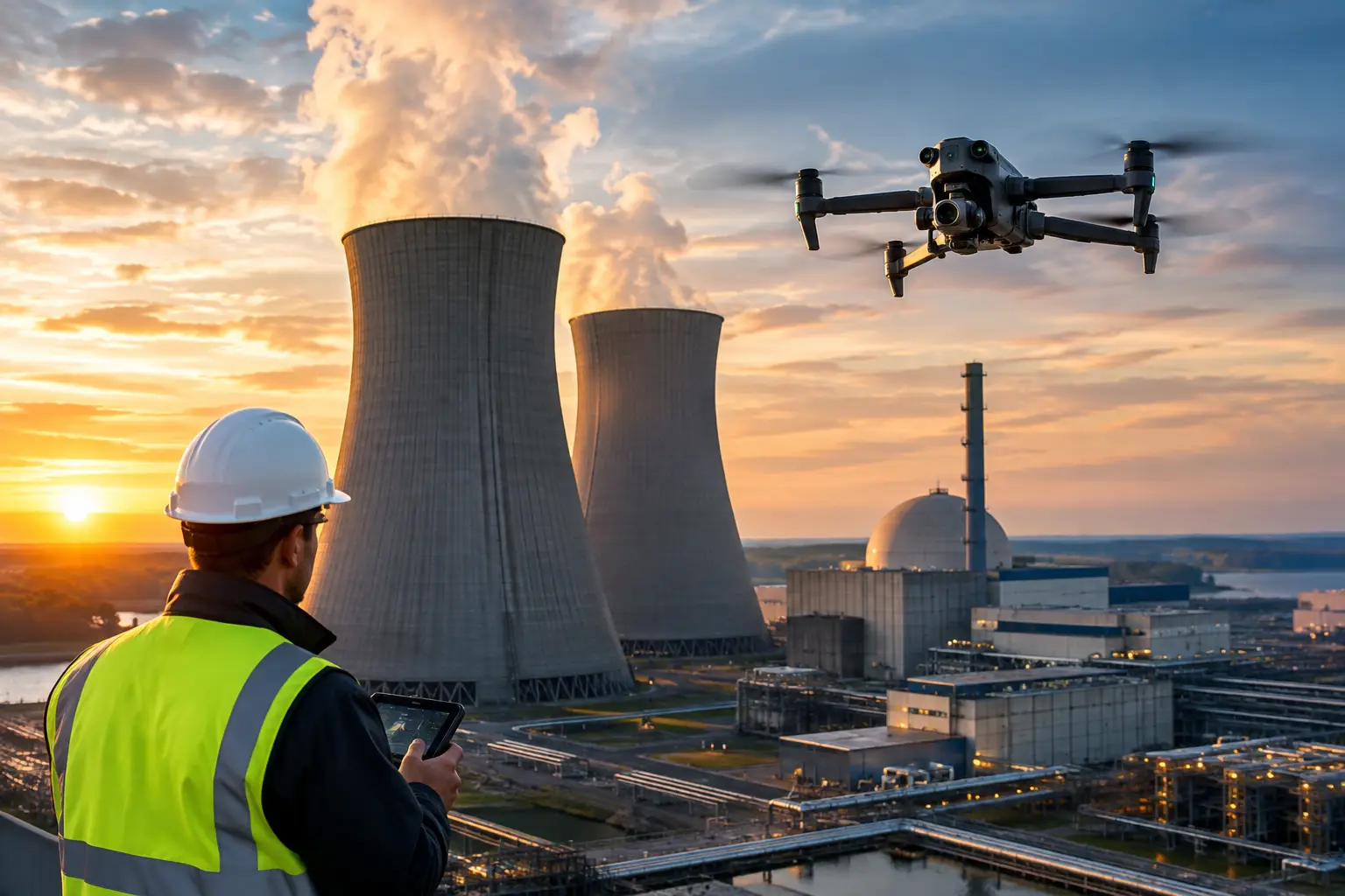
It also reduces exposure in places where ground access is difficult or undesirable. Steep slopes, unstable ground, active work zones, congested substations, elevated structures, industrial rooftops, cooling towers, and remote corridors all create practical limits for manual data collection. A properly planned aerial operation does not remove every hazard, but it can reduce the time personnel spend near them.
For repeat documentation, drone photogrammetry is particularly useful. Flying a comparable mission at regular intervals creates a visual record that helps teams track earthwork, construction progress, storm impacts, material quantities, and visible asset conditions over time. This repeatability is valuable for owners, project managers, insurers, and engineering teams trying to understand what changed and when.
Where Survey Crews Remain Essential
High coverage is not the same as universal precision. Drone-generated models can be accurate enough for many planning, progress, volumetric, and documentation applications, but results depend on flight planning, image quality, terrain, vegetation, control, processing, and verification. The required tolerance should always drive the collection method.
Survey crews remain the right choice when the work involves legal boundaries, final-grade verification, layout staking, precise vertical control, concealed conditions, or measurements that must meet contractual or regulatory standards. They are also essential when features cannot be seen from the air. Dense vegetation, standing water, deep shadows, covered utilities, interior spaces, and active equipment can limit what photogrammetry can reliably capture.
Aerial imagery can show that an area appears to have changed. It cannot, by itself, establish why a buried line shifted, confirm the depth of a subsurface feature, or determine structural integrity. For industrial and critical infrastructure work, drone data should be used as inspection support and visual documentation for the appropriate operations, engineering, maintenance, or survey professionals.
Accuracy Depends on the Workflow, Not the Aircraft
Decision-makers often ask whether drone photogrammetry is accurate enough. The better question is: accurate enough for what?
For broad site documentation, progress tracking, preliminary planning, stockpile estimates, and visual coordination, a well-executed photogrammetry workflow can provide substantial value. For tighter tolerances, the operation may require properly distributed ground control, independent checkpoints, a suitable coordinate system, calibrated processing, and documented quality checks. The more demanding the requirement, the less room there is for casual collection practices.
This is why the provider matters. Professional aerial data collection begins before launch. The team should understand the project objective, site conditions, safety constraints, airspace considerations, required deliverables, coordinate requirements, and who will use the final data. A flight performed for a marketing image is not the same as a mission planned to produce usable mapping or inspection documentation.
Accuracy also has a time component. A highly precise dataset delivered after a decision has already been made may have limited operational value. On an active construction project or after a major weather event, a current aerial dataset can help teams assess conditions quickly, identify areas needing closer review, and direct ground crews where their time matters most.
The Cost Comparison Is Bigger Than Field Hours
Comparing drone services to survey crews by hourly rate alone can produce the wrong decision. The true cost includes mobilization, access coordination, work-zone disruption, safety exposure, the amount of area to be covered, how often data is needed, and whether the deliverable will be useful after the immediate task is complete.
For a small number of precise points, sending a survey crew may be the most efficient option. For example, confirming specific elevations or establishing layout control does not require an aerial map of the entire property.
For a large, changing site that requires regular documentation, aerial collection can reduce the cost per acre and create a reusable record for multiple teams. The same mission may support a progress meeting, earthwork review, owner update, claim file, and site logistics discussion. That broader use can make the dataset more valuable than a one-time measurement alone.
The same principle applies after a loss event. Insurance and catastrophe-response teams may need a fast visual record before debris removal, repairs, or weather conditions change the scene. Aerial documentation can provide wide-area context while reducing the need to place personnel in unstable or inaccessible areas. Follow-up ground inspection and specialist review may still be necessary, but the aerial record helps prioritize it.
A Combined Workflow Often Produces the Best Result
The most effective projects use each resource where it performs best. Survey professionals establish and verify control, handle work that requires licensure or tight tolerances, and provide targeted measurements. Aerial teams collect broad, current visual and spatial information across the site or asset.
A practical sequence might begin with survey control and defined accuracy requirements. The drone team then captures a planned aerial dataset using that control where appropriate. The resulting orthomosaic, model, or point cloud gives the project team broad visibility, while checkpoints and survey observations help validate results for the intended use.
This approach avoids a common failure: treating aerial mapping as a replacement for every ground measurement. It is better understood as a force multiplier. The drone identifies patterns, captures context, and documents change at scale. The survey crew provides authoritative field control and precise measurement where it counts.
For transmission infrastructure, industrial facilities, cell towers, and complex construction environments, aerial inspection data can also guide safer field activity. High-resolution imagery and thermal data, when collected for the right application, may help teams identify visible areas of concern or prioritize locations for hands-on review. The final maintenance or engineering decision remains with the responsible professionals.
How to Choose the Right Method
Start with the decision the data must support. If the work requires a legal boundary, precise layout, certified survey product, or final construction verification, begin with a licensed survey professional. If the goal is broad documentation, progress intelligence, preliminary measurements, volumetric analysis, visual inspection support, or rapid post-event assessment, drone photogrammetry may be the more efficient first step.
Then consider site conditions. Large acreage, difficult terrain, elevated assets, active work zones, and limited access favor aerial collection. Dense canopy, concealed features, indoor environments, narrow tolerance requirements, and poor visibility favor ground methods or a combined approach.
Finally, define the deliverable before collecting data. An orthomosaic, a georeferenced 3D model, a thermal image set, a point cloud, and a set of high-resolution inspection images answer different questions. Clear requirements prevent a team from collecting attractive imagery that does not support operations.
Air Reel Technologies approaches aerial mapping and documentation as a field operation, not a camera flight. For demanding construction, utility, industrial, and catastrophe-response environments, disciplined planning, FAA Part 107 compliance, professional insurance coverage, and usable deliverables matter as much as the aircraft itself.
The best choice is the one that gives your team dependable information at the speed, scale, and accuracy the decision requires. When ground precision and aerial coverage work together, the site becomes easier to understand before costly assumptions turn into field problems.