A map can look sharp, align cleanly with a project boundary, and still be unsuitable for measurement. For construction, utility, industrial, and insurance teams, drone map accuracy is not a visual preference. It determines whether aerial data can support quantity tracking, progress documentation, condition review, site planning, or a defensible discussion with an engineer, contractor, carrier, or asset owner.
The right question is not, “How accurate is the drone?” Accuracy comes from the complete field and processing workflow: flight planning, positioning, ground control, image quality, site conditions, software processing, and independent validation. A professional mapping mission is designed around the decisions the data needs to support.
What Drone Map Accuracy Actually Means
Drone map accuracy is the difference between a mapped location or elevation and its true position in the real world. It is commonly discussed in horizontal accuracy, which affects where features appear on the map, and vertical accuracy, which affects elevations, grades, stockpile volumes, drainage review, and surface models.
These measures should not be confused with image resolution. Ground sampling distance, often called GSD, describes how much ground area each pixel represents. A low GSD produces a more detailed image, but detail alone does not establish positional accuracy. A map may show a pipe, curb, roof penetration, or transmission structure clearly while placing it several inches or several feet from its surveyed location.
For many progress-monitoring assignments, consistent visual documentation may be more valuable than survey-level coordinates. For earthwork quantities, design comparison, or utility planning, coordinate confidence becomes much more significant. The required standard depends on the use case, the asset, and the risk of making a decision from incorrect data.
Start With the Decision, Not the Flight
A mapping provider should establish the intended use before selecting an altitude, sensor, control method, or deliverable. A weekly construction orthomosaic used to verify installed work has different requirements than a topographic surface used to monitor grading. A roof map supporting an insurance claim differs from a detailed model of an industrial facility where access, obstructions, and elevation changes affect the mission design.
Project teams should define whether they need relative accuracy, absolute accuracy, or both. Relative accuracy is the consistency between features within the same dataset. It can be useful for comparing stockpiles, tracking work zones, or reviewing changes across a site. Absolute accuracy is the agreement between the map and a known coordinate system. It matters when data must align with plans, control networks, CAD files, GIS layers, or work performed by other teams.
This distinction prevents a common problem: using a visually useful map for a measurement task it was never designed to support.
Ground Control Is Often the Difference
Ground control points are marked locations with known coordinates that anchor an aerial map to the project coordinate system. When properly planned, surveyed, visible in imagery, and distributed across the site, they improve confidence in the final orthomosaic and surface model.
Control should cover the full project area rather than being clustered near a site entrance or staging area. Large sites, irregular boundaries, significant elevation changes, and areas with limited image overlap may require additional points. Placement also matters. Control obscured by equipment, shadow, standing water, vegetation, or active work can weaken the dataset.
Checkpoints serve a different but equally important role. They are independently surveyed points withheld from the processing workflow and used to test the finished map. A provider can report that the map processed successfully, but checkpoints show how the final product performs against known field locations.
For work where coordinates matter, teams should ask for a clear explanation of the control method, coordinate reference system, vertical datum, and validation results. These details are more meaningful than broad claims of “high accuracy.”
RTK and PPK Improve Positioning, but Do Not Eliminate Verification
Drones equipped with real-time kinematic positioning, or RTK, and post-processed kinematic workflows, or PPK, can improve the geotagging of images. They may reduce the amount of ground control required for certain assignments and support efficient operations across larger or more difficult sites.
They are not a substitute for quality assurance. Satellite geometry, correction reliability, multipath interference, terrain, flight execution, and processing choices still affect results. On industrial sites, near structures, transmission infrastructure, metal surfaces, or tall equipment, signal conditions can be less forgiving. Independent checkpoints remain a sound practice whenever map coordinates will influence project decisions.
Flight Planning Controls Data Quality
Aerial mapping is not simply a matter of covering an area. The aircraft must capture enough overlap between images for processing software to identify common points and reconstruct the site accurately. Forward and side overlap, flight altitude, camera angle, speed, and lighting conditions all influence the result.
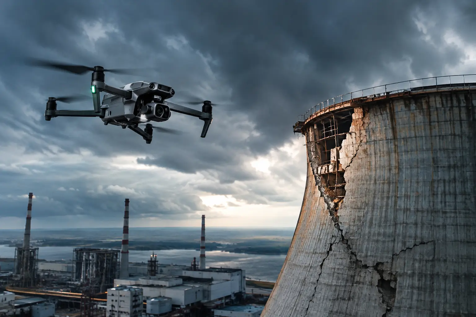
Nadir imagery, captured straight down, is generally effective for orthomosaics and terrain-focused mapping. Oblique imagery, captured at an angle, can improve 3D models of vertical features such as buildings, cooling towers, tanks, cell towers, and industrial structures. Complex assets often require both approaches because a top-down map alone cannot adequately document vertical faces, overhangs, or intricate equipment.
Weather also matters. Wind can affect image sharpness and flight stability. Low light can force slower shutter speeds that introduce blur. Strong shadows can hide edges and surface detail, while reflective roofing, water, solar panels, and bright metal can create processing challenges. A disciplined operator adjusts the plan to site conditions rather than treating every property as a standard grid flight.
Elevation Accuracy Requires Extra Care
Vertical error is frequently the most consequential issue in drone mapping. A surface can appear smooth and believable while carrying enough elevation error to affect cut-and-fill calculations, drainage observations, stockpile volumes, or construction verification.
The ground itself may not be visible. Vegetation, parked vehicles, material piles, scaffolding, temporary structures, and active equipment can all become part of the surface model. Photogrammetry maps what the camera can see. It does not automatically see through grass, trees, or objects to generate bare earth.
This is why project teams should distinguish between a digital surface model and a bare-earth terrain product. A digital surface model represents visible surfaces, including structures and vegetation. A bare-earth model requires appropriate classification, supplemental field information, or another collection method when vegetation is dense. The correct deliverable depends on site conditions and the question being asked.
Processing Choices Can Shift the Result
Mapping software performs complex alignment and reconstruction work, but the output should not be treated as automatic truth. Processing settings, image calibration, control-point marking, outlier removal, coordinate transformations, and export formats can each affect the final map or model.
A reliable workflow includes review before delivery. That means checking for warped edges, duplicated objects, gaps, blurred areas, mismatched seams, and visible shifts at control locations. It also means confirming that the requested coordinate system and units were applied correctly. A foot-versus-meter error or an incorrect vertical datum can create major downstream confusion even when the imagery itself looks excellent.
For high-value work, deliverables should be accompanied by enough documentation for the receiving team to understand what was collected, when it was collected, what coordinate reference was used, and how accuracy was checked. That record is useful for project files, insurance documentation, repeat surveys, and future comparisons.
Accuracy Is Also About Repeatability
Construction managers and facility teams often need more than a single accurate map. They need datasets that can be compared over time. Repeatability comes from using consistent control, flight parameters, processing standards, and reporting methods across each collection cycle.
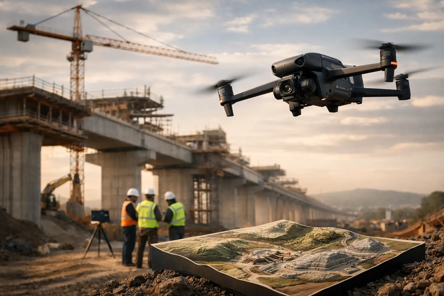
A progress map captured from a different altitude, coordinate system, or seasonal lighting condition may still be useful, but it may be less reliable for direct comparison. On a large construction program, disciplined repeat collection can show work advancing across pads, structures, laydown areas, access roads, and utility corridors without relying solely on fragmented ground photos.
For disaster response and insurance documentation, repeatable mapping also creates a clearer record of conditions before, during, and after an event. It supports review without requiring unnecessary exposure of personnel to unstable roofs, damaged facilities, flooded areas, or difficult terrain.
What to Request From a Professional Mapping Provider
Before work begins, establish the intended use and required coordinate reference. Ask whether the deliverable will be an orthomosaic, 3D model, surface model, contour dataset, volume calculation, or inspection documentation package. Confirm whether ground control, RTK or PPK positioning, and independent checkpoints are appropriate for the assignment.
It is also reasonable to request an accuracy statement that identifies the control and validation approach, rather than a vague promise. For complex facilities, clarify access requirements, site safety procedures, operational restrictions, and the areas that need detailed capture. These conversations help the field team design a mission that supports the work instead of producing a generic aerial product.
Air Reel Technologies approaches mapping as operational data collection for demanding sites, where field discipline, safe execution, and clear documentation matter as much as the final image.
The most useful map is not necessarily the one with the smallest claimed error. It is the one collected, validated, and documented to a standard that matches the decision in front of your team. Set that standard before the aircraft launches, and the resulting data will be far more useful when schedules, budgets, claims, and asset conditions are on the line.