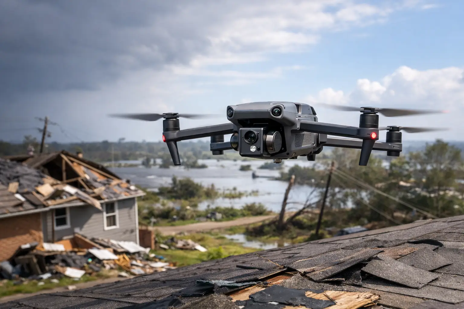
When a storm moves through a jobsite, plant, utility corridor, or industrial facility, the first question is rarely theoretical. It is operational: what was damaged, what is still safe to access, and how fast can the team document conditions without creating more exposure? That is where drone inspections after severe weather have become a practical tool for commercial and infrastructure operators who need fast visibility across large or hard-to-reach assets.
For decision-makers responsible for rooftops, substations, towers, cooling structures, pipelines, or active construction sites, the value is straightforward. Severe weather can scatter debris, shift materials, damage exterior systems, flood access routes, and create unsafe climbing or walking conditions. A drone does not replace engineers, adjusters, or maintenance leaders, but it gives them current visual data quickly so they can prioritize the next move with better information.
Why drone inspections after severe weather matter
After hail, high wind, heavy rain, or a tornado event, time matters for several reasons at once. Operations teams need to know whether assets remain accessible. Insurance and claims teams need documented conditions before cleanup changes the scene. Project teams need to understand whether schedules are about to slip because of roof damage, standing water, material loss, or structural concerns that require further review.
Traditional inspection methods can slow that process down. Sending personnel onto wet roofs, unstable structures, steep elevations, or debris-covered sites adds risk at the exact moment conditions are least predictable. In some cases, crews cannot even reach the area that needs to be checked without lifts, shutdowns, escorts, or traffic control. Drone deployment shortens that first-response window by capturing high-resolution imagery from a safe stand-off position.
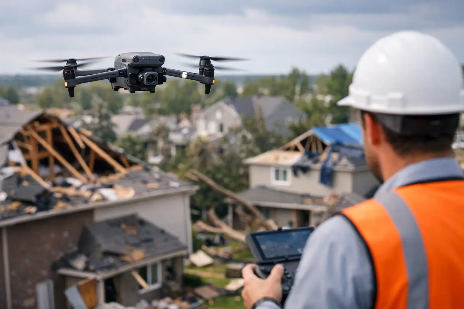
That matters most on large commercial and industrial properties where the damage is not always obvious from the ground. A warehouse roof can look intact from the parking lot and still have punctures, membrane damage, displaced rooftop units, blocked drainage, or impact patterns that need closer review. A transmission corridor may have isolated issues across a broad area. A cell tower compound may have surrounding access challenges before anyone can inspect mounted equipment visually.
What a drone inspection can actually show
The strongest use of drones after a weather event is not just speed. It is coverage. A properly planned flight can document an entire asset, then zoom into problem areas with enough clarity to support maintenance, engineering, insurance, and operations workflows.
For rooftops, drone imagery can identify lifted seams, displaced materials, punctures, pooling water, damaged flashing, impact marks, clogged drains, and debris fields. On construction sites, aerial documentation can show material displacement, scaffolding impacts, crane-area conditions, erosion, standing water, and access limitations. For utilities and industrial facilities, the inspection may focus on exterior equipment condition, perimeter issues, fallen limbs, washouts, and visible damage to supporting infrastructure.
Thermal imaging may also be useful, but only when conditions and timing support it. Moisture intrusion, heat anomalies, or electrical concerns are not always visible in standard imagery, yet thermal work after severe weather depends on the surface, weather pattern, sun loading, and the question being asked. In other words, it is not automatic. The right sensor has to match the inspection objective.
Where drone inspections after severe weather are most useful
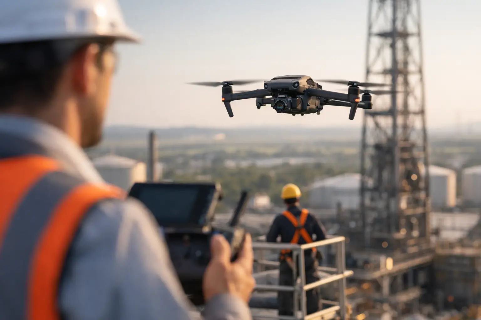
The use case becomes stronger as asset complexity and access risk increase. Large commercial roofs are a clear example because walking every section after a storm is slow and can expose personnel to slip hazards or hidden weak spots. Industrial facilities benefit for similar reasons, especially where access is restricted, elevations are significant, or equipment density limits line of sight.
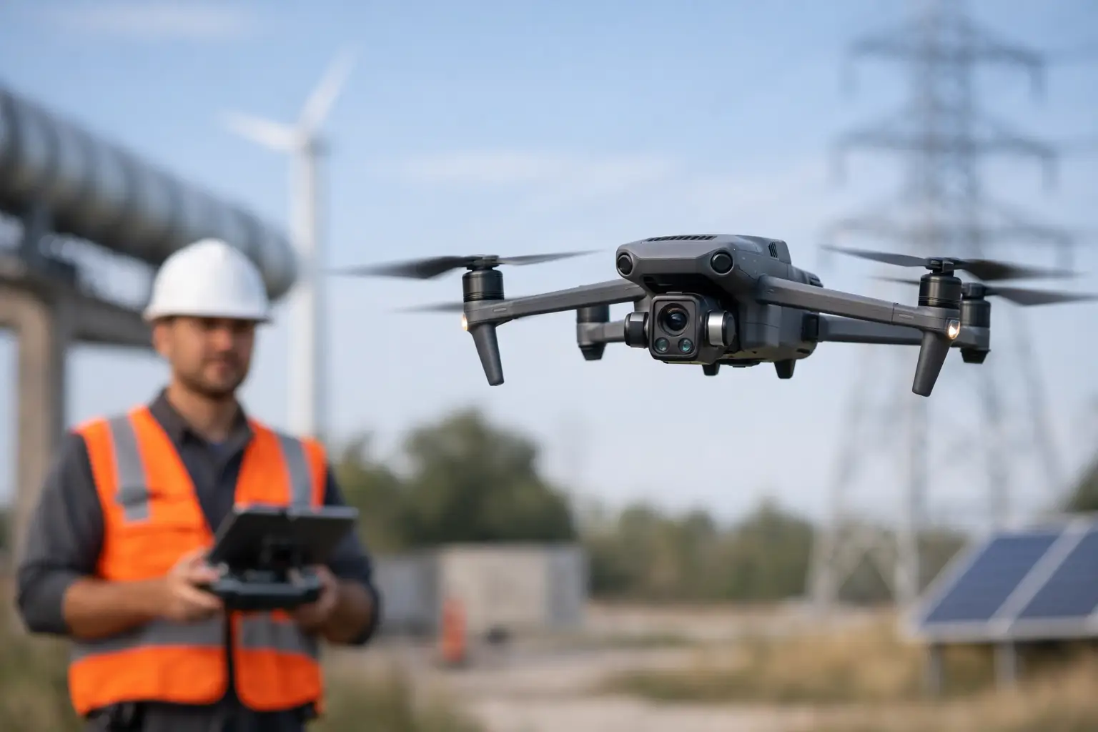
Utilities and telecom operators often face a different problem: scale. Storm damage can be scattered across corridors, tower sites, or support structures over a wide area. Drone data helps teams narrow attention to specific locations before they send in field crews. That improves deployment efficiency and reduces the number of unnecessary site entries.
Insurance carriers and catastrophe response teams also benefit from drone-based documentation because conditions change quickly after an event. Cleanup starts, water recedes, temporary repairs begin, and the original state of the property can disappear within hours. Early aerial imagery can provide clear visual context that supports later review.
What a professional post-storm workflow looks like
Not every drone flight after a storm is useful. The difference is usually in planning, safety discipline, and deliverables.
A professional workflow starts with a clear objective. Is the client trying to screen a portfolio of sites for obvious damage, document one high-value loss location, support an adjuster visit, or help an engineering team review specific exterior conditions? That objective determines the flight plan, image density, camera angles, and whether mapping, thermal collection, or close visual inspection is appropriate.
Next comes site and airspace review. Severe weather often creates temporary hazards that have nothing to do with the aircraft itself, including unstable debris, energized equipment concerns, standing water, restricted access, emergency activity, or communications disruptions. A disciplined operator evaluates the environment before launch and works within regulatory and site safety requirements.
Then comes capture and documentation. For some clients, a structured image set is enough. For others, orthomosaic mapping, annotated imagery, or side-by-side condition documentation is more valuable because it supports claims, maintenance planning, or contractor coordination. The point is not simply to collect footage. The point is to deliver useful aerial data tied to the operational question.
The trade-offs organizations should understand
Drone inspections are effective, but they are not magic and they are not universal.
Weather windows matter. If wind remains too high, rain is ongoing, or visibility is poor, deployment may need to wait. That can be frustrating when urgency is high, but rushing a flight in unstable conditions serves no one. The same is true at facilities with complex operational restrictions or sensitive areas where coordination is required before flight activity begins.
There is also the issue of interpretation. Drone imagery is excellent for documenting visible conditions and helping teams identify where closer review is needed. It does not by itself certify a roof, validate internal damage, or replace the judgment of engineers, adjusters, electricians, or maintenance specialists. The best use of aerial inspection is as a first layer of reliable visual intelligence that informs those downstream decisions.
Another trade-off is detail versus coverage. A broad site sweep gives leadership fast situational awareness. A close asset inspection gives more granular evidence. Sometimes the right answer is a two-phase approach: first establish the overall condition of the property, then return to capture focused detail on areas of concern.
Choosing the right partner for post-storm inspection support
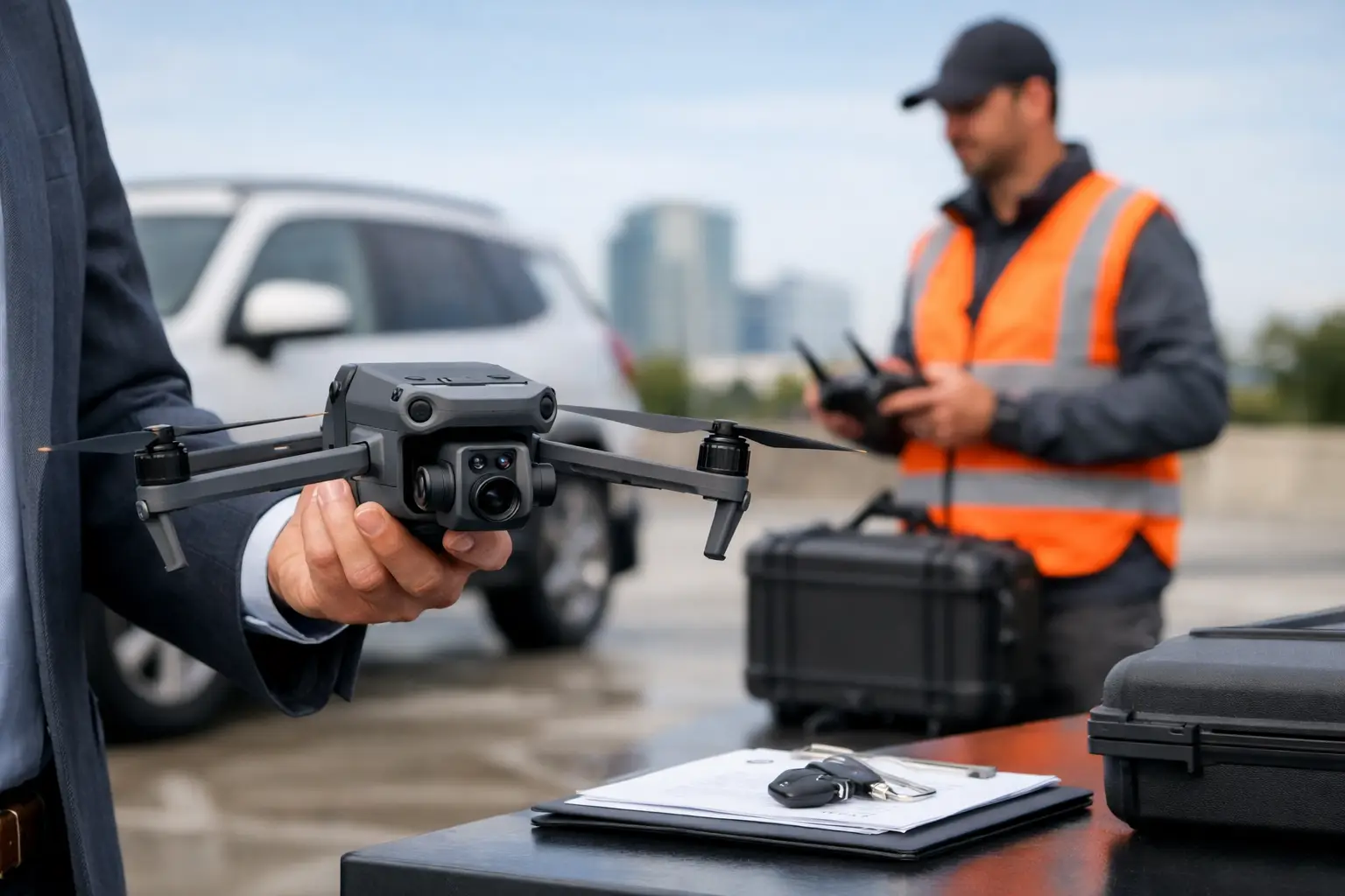
Post-storm work is not the place for casual flight operations. Commercial and industrial clients need a provider that understands active sites, regulated environments, safety coordination, and documentation standards that hold up under internal review.
That means looking beyond whether someone owns a drone. FAA Part 107 certification matters. Professional insurance coverage matters. Field experience in industrial, utility, telecom, construction, and catastrophe environments matters. So does the ability to work with site contacts, respect access limitations, and produce clean deliverables that fit business use instead of generic aerial visuals.
For organizations operating across Georgia, Alabama, South Carolina, and Tennessee, response capability can also be part of the decision. Severe weather rarely arrives on a convenient schedule, and the value of aerial inspection drops if the provider cannot mobilize when the documentation window is still useful. Air Reel Technologies approaches these projects with that field-ready mindset because high-value assets and fast-moving damage events require disciplined execution, not guesswork.
What teams should do before the next storm hits
The best time to think about drone inspections is before severe weather shows up. If your organization manages multiple roofs, distributed sites, utility assets, or active industrial facilities, establish in advance what you would need documented after a storm. Decide who requests the inspection, who approves access, what deliverables matter most, and which stakeholders need the data.
That preparation shortens response time when conditions are changing fast. It also helps teams compare pre-storm and post-storm imagery, which can be valuable when assessing change over time. For owners and operators responsible for expensive assets, that level of readiness is often the difference between a controlled response and a reactive scramble.
Severe weather always puts pressure on time, safety, and documentation. A well-executed drone inspection does not remove that pressure, but it gives your team a faster, safer way to see what happened and decide what comes next.