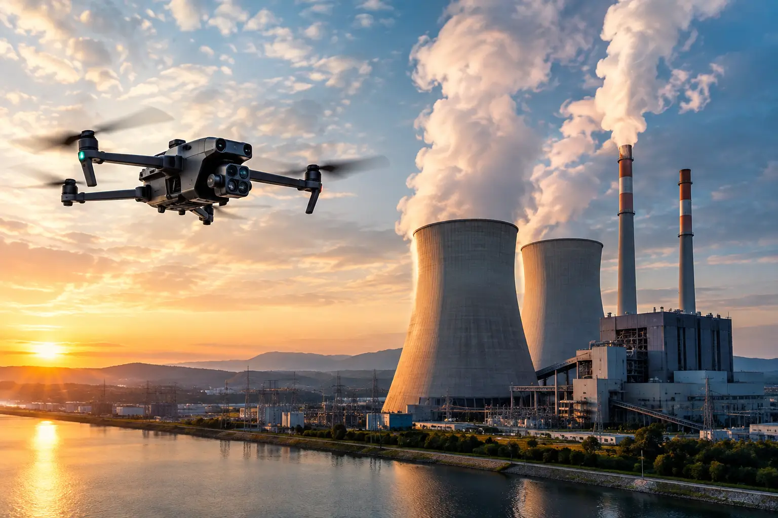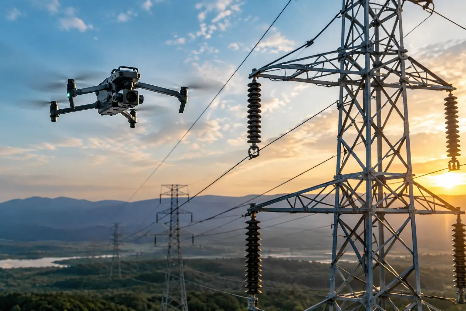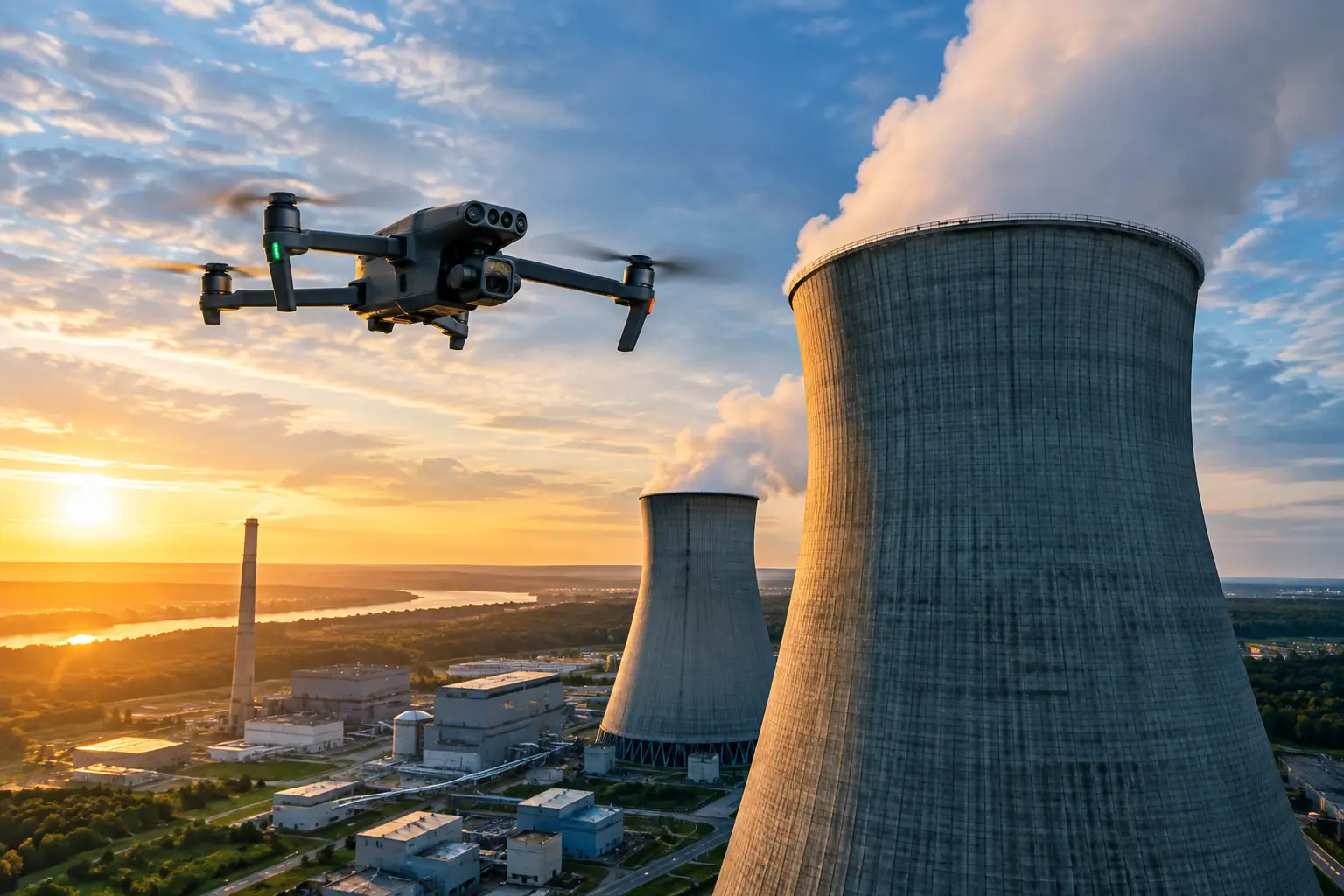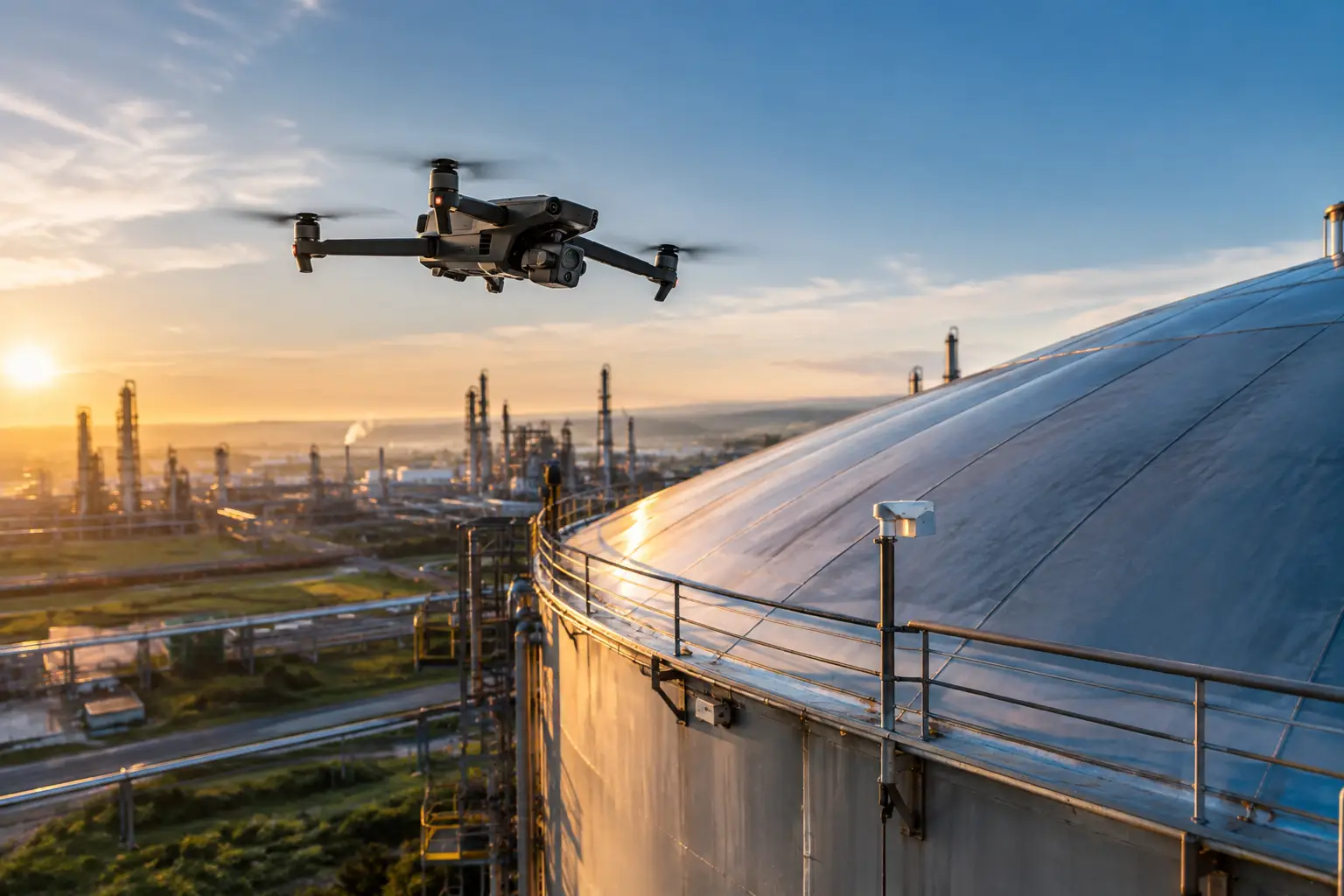
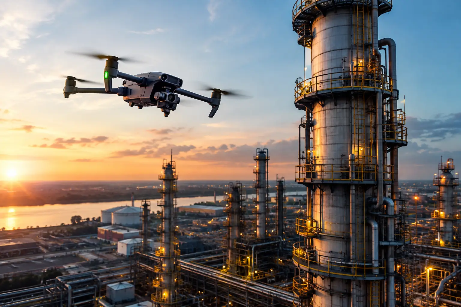
A single elevated inspection can turn into a costly field event before anyone reaches the asset. Access equipment must be scheduled, crews mobilized, work zones controlled, and operations adjusted around the activity. Drone inspection cost savings begin by changing that equation: the right aerial data collection plan can reduce the labor, access, downtime, and exposure required to understand asset conditions.
For construction leaders, plant operators, utilities, telecom providers, and insurance teams, the value is not in putting a drone in the air. It is in obtaining clear, usable visual intelligence without treating every observation as a major access operation. High-resolution imagery, thermal data, orthomosaics, and 3D models can give the responsible team a better basis for prioritizing field work, planning maintenance, documenting conditions, and directing specialists to the areas that actually need hands-on review.
Where Drone Inspection Cost Savings Come From
The first savings category is often access. Traditional observation of a cell tower, cooling tower, roof system, flare stack, containment exterior, transmission structure, or large construction site may require lifts, scaffolding, rope-access crews, lane closures, or other site controls. Those measures can be necessary when repair or close-contact verification is required. They are not always necessary for the initial visual assessment.
Aerial inspection can help teams identify where access is justified before committing to it. Instead of sending personnel across an entire roof or building access around a complete tower, a facility can use detailed imagery to isolate visible damage, deterioration, missing components, drainage concerns, or areas requiring engineering review. The result is a more targeted scope, not a promise that remote imagery replaces every physical inspection.
Labor savings follow closely behind. Conventional inspection work can involve multiple trades, safety personnel, operators, escorts, and supervisors. A drone mission still requires planning, qualified personnel, site coordination, and a disciplined safety process, especially around industrial and critical infrastructure environments. But it can often reduce the number of people required for the initial documentation phase and shorten their time in the field.
Downtime is another major cost driver. When an inspection requires equipment to be taken out of service, an access route closed, or a construction activity paused, the cost reaches beyond the inspection invoice. Production schedules, subcontractor sequencing, delivery windows, and customer commitments can all be affected. Aerial data collection may allow some observations to occur with less disruption, subject to site rules, airspace requirements, operating conditions, and the asset owner’s procedures.
The final category is risk exposure. Reducing time spent at height, near energized equipment, around unstable surfaces, or within congested work areas is a practical operational benefit. A drone does not eliminate site hazards or remove the need for a formal safety plan. It can, however, limit unnecessary exposure during routine visual documentation and help safety teams plan more focused follow-up work.
The Real Cost Is the Decision Delay
Aerial inspection programs produce their strongest financial return when they improve the speed and quality of operational decisions. If a project manager waits several days for a site walk, or a maintenance manager must wait weeks to coordinate access equipment, an issue can remain untriaged while schedules and risks compound.
For construction projects, repeat aerial documentation can show whether installed work aligns with the plan, where materials are staged, how earthwork is progressing, and whether site conditions are affecting the schedule. Orthomosaic maps and 3D models provide a consistent record that can support coordination conversations without relying only on notes, memory, or isolated ground photographs.
For utilities and energy facilities, high-resolution imagery can help maintenance and operations teams review inaccessible exterior conditions, identify areas that warrant closer attention, and create a documented baseline for future comparison. Thermal imaging can add useful context in appropriate conditions, but it must be interpreted carefully. It is a screening tool that can indicate temperature differences, not a stand-alone diagnosis of equipment condition.
For insurance operations, timely aerial documentation can reduce the scramble that follows a storm, fire, or other loss event. Capturing condition data early may help adjusters, engineers, and claims teams establish scope, prioritize site visits, and preserve a visual record when conditions are changing quickly. The savings may come from fewer duplicate visits, faster triage across a large portfolio, and stronger documentation rather than from any single flight.
A Better Way to Measure Inspection Savings
The most useful comparison is not the drone service fee against the price of a ground-level photograph. Compare the aerial mission against the full cost of the conventional workflow it may reduce.
Start with direct costs: access equipment rental, mobilization, labor hours, travel, site escorts, traffic control, and any planned outage or work interruption. Then account for indirect costs, including schedule delays, repeat site visits, administrative coordination, and the consequences of discovering a condition late. On high-value assets, delayed decisions can cost more than the inspection method itself.
A practical calculation looks like this:
Traditional inspection cost – aerial inspection program cost = potential direct savings
That number is only the starting point. The larger operational value may be the avoided cost of an unnecessary full-access inspection, a shortened outage window, or a faster response to visible damage. Those savings should be documented separately because they depend on what the data allowed the team to do differently.
It also helps to measure repeatability. A single image can answer a question in the moment. A consistent capture plan, taken from comparable viewpoints and organized in a usable deliverable, makes change easier to see over time. This is particularly valuable for construction progress, industrial rooftops, transmission infrastructure, and facilities with recurring maintenance concerns.
When Drones Will Not Be the Lowest-Cost Option
Drone inspection is not automatically the right tool for every assignment. A small, accessible asset may be faster to inspect from the ground. Close-contact examination, nondestructive testing, torque checks, material sampling, and repairs still require properly qualified personnel and the appropriate access method. Weather, airspace restrictions, electromagnetic conditions, operational constraints, and facility procedures can also affect whether a mission can be completed as planned.
The best approach is often a combined workflow. Use aerial imagery to document broad conditions, identify priorities, and guide ground crews or engineers to the most relevant locations. That protects the value of specialized labor by reserving close access for work that requires it.
This distinction matters in regulated and high-risk environments. Drone data should support the inspection, engineering, maintenance, insurance, or project-management process. It should not be presented as structural certification, proof of safety, or a substitute for required professional judgment.
What Makes the Savings Repeatable
Savings become dependable when aerial data collection is treated as an operating process rather than a one-time flight. The scope should identify the asset areas to be captured, the questions the data must answer, required image quality, site constraints, and the form of the final deliverables. A vague request for aerial photos can produce a vague result. A defined mission can produce documentation that teams can use.
Field execution matters just as much. Qualified pilots, FAA Part 107 compliance, professional insurance coverage, preflight planning, site coordination, and clear data handling practices reduce preventable friction. Complex facilities need a provider that understands that a flight is only one part of the assignment. The data must be organized, labeled, and delivered in a format that fits the workflow of the people making decisions.
Air Reel Technologies approaches aerial inspection work with that operational discipline, supporting organizations that need reliable documentation across demanding construction, industrial, utility, telecom, and insurance environments.
The most productive next step is to choose one recurring inspection or documentation task that currently requires significant access, labor, or coordination. Establish the full baseline cost, define the visual questions that need answers, and compare the result over several cycles. That is where aerial data becomes more than an expense line item: it becomes a practical tool for spending inspection resources where they matter most.