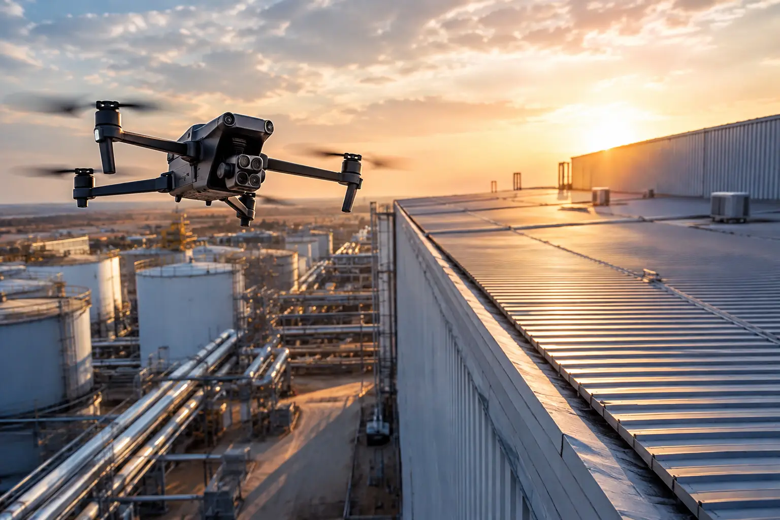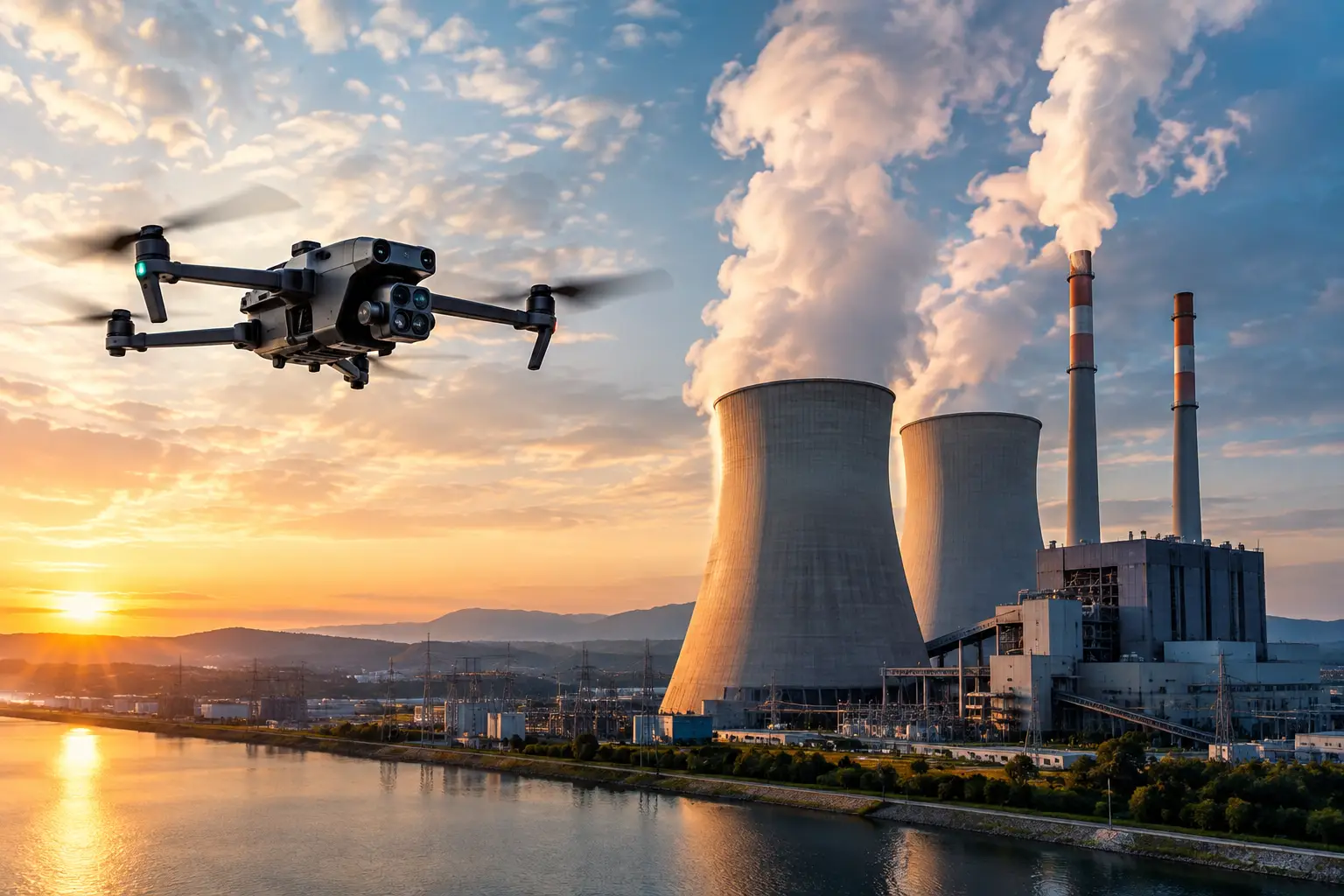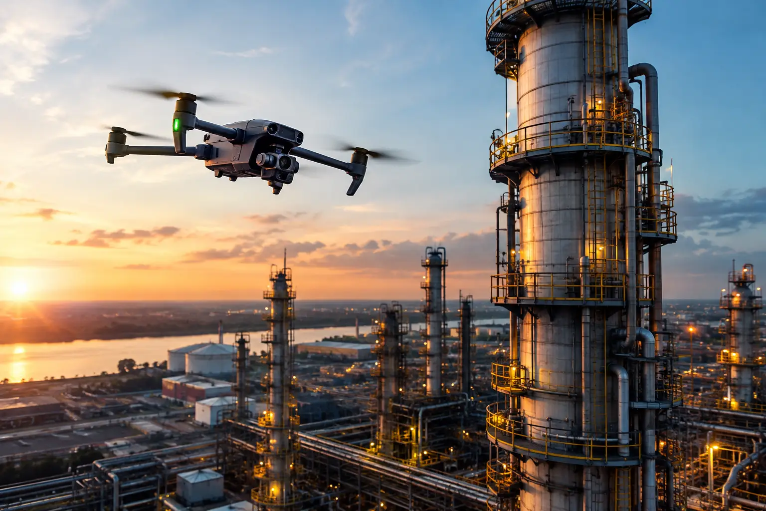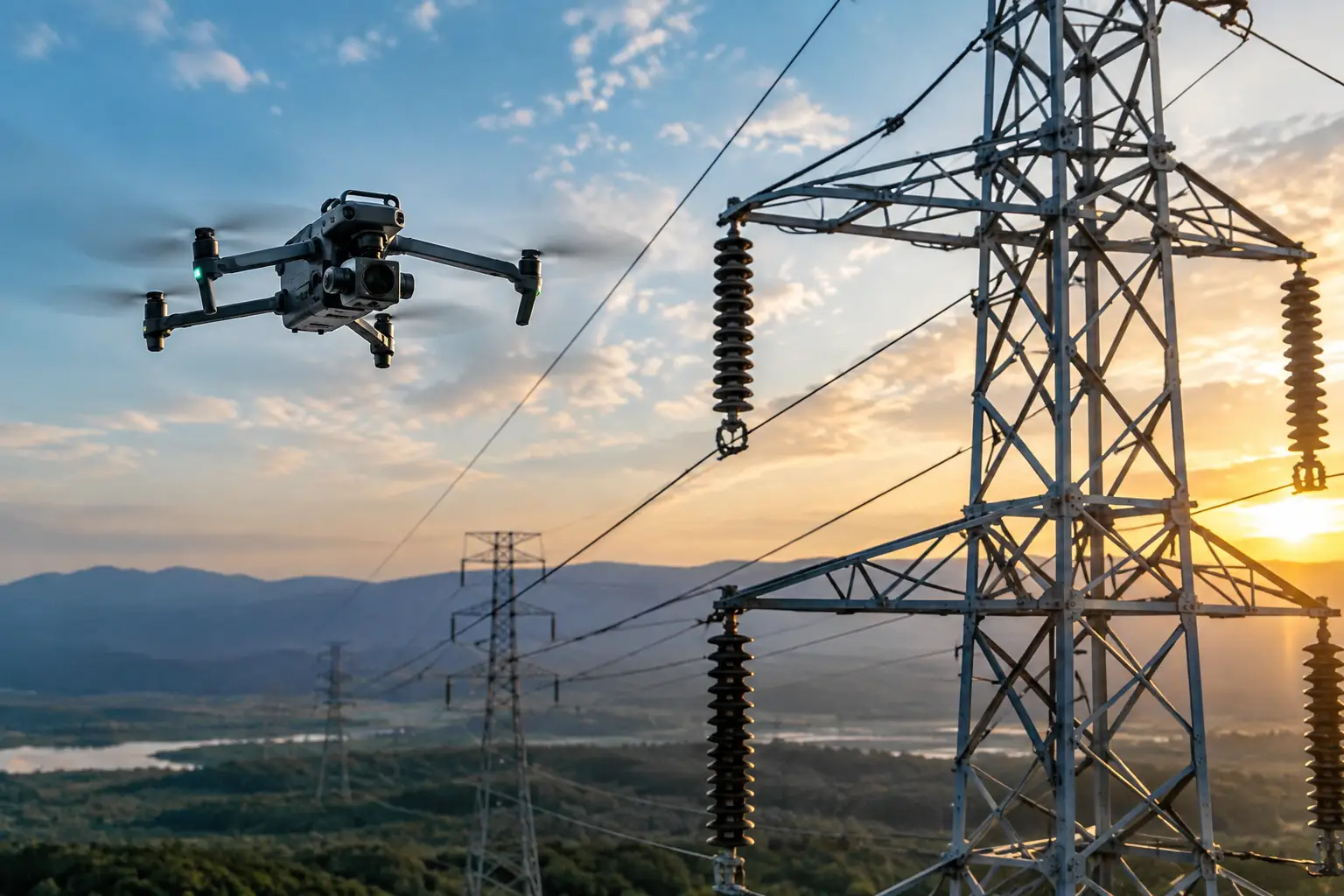
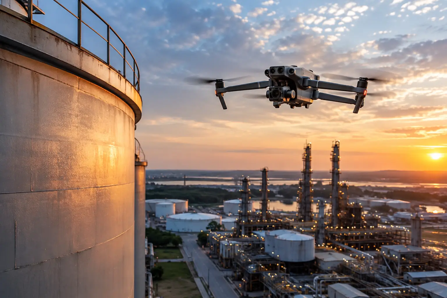
A superintendent needs to verify installed facade panels across six elevations. A plant manager needs current images of a cooling tower shell. An adjuster needs to document storm damage before conditions change. In each case, drone documentation vs ground photography is not a question of which method takes better-looking pictures. It is a decision about coverage, access, safety exposure, repeatability, and whether the resulting imagery can support an operational decision.
Ground photography remains essential for many details. It captures labels, connections, interior conditions, close-range defects, and work that is hidden from above. Drone documentation adds a different vantage point: broad, elevated, repeatable visual coverage of areas that may otherwise require lifts, scaffolding, climbing, shutdowns, or multiple site visits. The strongest documentation programs use each method where it produces the most reliable evidence.
What Each Method Actually Captures
Ground photography is strongest when the subject can be safely reached and the inspection question is highly specific. A technician can photograph a serial number, a hairline condition at eye level, a valve assembly, or the underside of equipment. The photographer can control distance, angle, flash, and scale references with precision. For interior rooms, enclosed mechanical spaces, and obscured components, ground documentation is often the only practical option.
Drone documentation is built for coverage and context. It can capture roof systems, building envelopes, active construction areas, transmission structures, tower components, large industrial surfaces, access roads, drainage patterns, and storm impacts from angles that are difficult to obtain from the ground. When planned correctly, it also creates a consistent visual record across an entire asset rather than a collection of isolated photos.
That distinction matters. A close-up image of a damaged roof penetration may show the condition itself. Aerial imagery can show its position relative to drainage paths, adjacent equipment, roof sections, and the broader extent of the issue. Operations teams often need both views before they can prioritize work.
Drone Documentation vs Ground Photography: The Real Differences
The practical comparison comes down to five questions: How much of the asset must be documented? How often will the work repeat? What access is required? What risk does access create? And what decisions will the images support?
Coverage and context
A ground team can document a large site thoroughly, but the process is usually incremental. Images may be taken from varied distances and locations, and it can be difficult to establish exactly how individual photos relate to the full project or facility. This is manageable for a focused repair area. It becomes harder on multi-acre construction sites, industrial campuses, utility corridors, and large roofs.
Aerial documentation can establish that context quickly. High-resolution overhead imagery, oblique views, orthomosaic mapping, and 3D models can show layout, progress, staging, material movement, surface conditions, and relationships between site features. For construction teams, that broader record can help identify coordination issues before another trade covers the work.
Coverage alone is not the goal. The goal is a visual record that lets a project manager, engineer, owner, or claims professional understand where a condition exists and how it relates to the asset around it.
Safety and access
This is often the deciding factor. Ground photography may require personnel to walk unstable surfaces, work near traffic, enter congested work zones, climb ladders, use aerial lifts, or access elevated structures. Those methods can be appropriate when close inspection is necessary, but they bring time, planning, and exposure.
Drone operations can reduce the need for certain hazardous access activities by collecting imagery from a stand-off position. A drone can document elevated building components, tower sections, rooftop equipment, and difficult exterior surfaces while keeping personnel on the ground. It does not eliminate the need for site controls, airspace planning, weather assessment, or client safety procedures. It does reduce unnecessary exposure when aerial imagery can answer the question.
For critical infrastructure and industrial facilities, the operating discipline matters as much as the aircraft. FAA Part 107 compliance, insured operations, preflight planning, controlled field execution, and coordination with site personnel are part of a professional documentation workflow.
Speed without sacrificing traceability
Ground documentation can take longer because the team must physically move through every access point, elevation, or area of concern. On a construction site, that may mean navigating changing conditions and coordinating around active work. On an industrial asset, it may involve permits, escorts, or equipment access.
A drone can capture a large exterior area during a planned flight, often allowing stakeholders to review conditions sooner. The advantage grows when the same site must be documented repeatedly. Weekly construction progress flights, post-event insurance documentation, and seasonal infrastructure reviews benefit from a consistent flight plan and image set.
Speed should not mean rushing collection. Images need clear file organization, location context, capture dates, and a deliverable structure that makes them usable after the field team leaves. A rapid flight with poorly organized files simply moves the burden to the client.
Detail and image quality
Ground photography generally wins when the required detail is measured in inches and the component is safely accessible. It can capture close-range surface conditions that may not be visible in an aerial overview. Aerial cameras can provide highly detailed images, but distance, wind, lighting, viewing angle, and the nature of the defect affect what can be seen.
The right question is not whether a drone can see every condition. It is whether the aerial image is sufficient to identify areas that need closer review, support a condition record, or help direct maintenance and inspection resources. If the answer is no, ground imagery or hands-on evaluation should follow.
Thermal imaging has similar limits. It can help identify temperature differences and patterns that merit attention, but it does not independently diagnose a failure or certify an asset’s condition. Proper interpretation depends on environmental conditions, equipment operation, emissivity, and the experience of the team reviewing the data.
Where Aerial Documentation Delivers the Most Value
Drone documentation is particularly effective when access is difficult, the asset is large, or the visual record must be repeated over time. On construction projects, recurring aerial capture helps teams compare installed work against the schedule, track earthwork and material staging, document milestone progress, and communicate site conditions to off-site stakeholders.
For utility and energy assets, aerial imagery can support visual assessments of transmission infrastructure, substations, pipelines, and exterior facility components. It can document conditions after severe weather and help teams prioritize where closer inspection resources should go first. On telecom towers and industrial rooftops, aerial imagery can reduce the amount of time spent obtaining an initial visual record from elevated positions.
Insurance and catastrophe-response teams benefit from early, organized documentation. After a storm, fire, or other event, conditions can change quickly as cleanup begins. Aerial images provide broad evidence of affected areas, while ground photographs record close details and interior impacts. Together, they create a more defensible file than either method alone.
When Ground Photography Is Still the Better Choice
Aerial work is not a substitute for every field documentation task. Ground photography is often preferable for interior environments, low-clearance areas, components shielded by other equipment, and conditions requiring a close scale reference. It is also the better fit when the site requires detailed images of control panels, labels, fasteners, connections, or confined locations where flight is not appropriate.
There are operational limits as well. Weather, airspace restrictions, nearby activity, electromagnetic interference concerns, and site-specific safety requirements may affect whether a flight can proceed. A professional provider evaluates those conditions before mobilizing rather than treating a drone as the automatic answer.
In many cases, the most efficient workflow begins in the air and finishes on the ground. Aerial data identifies the areas of interest, provides full-asset context, and reduces wasted field time. Ground teams then document the specific components that require closer images, measurements, testing, or engineering review.
Build a Documentation Plan Around the Decision
Before selecting a method, define what the documentation must accomplish. Progress verification, asset inventory, storm claims support, maintenance planning, and engineering review each require different image types, angles, schedules, and deliverables. A one-time aerial overview may be enough for executive reporting, while a recurring program may need matched viewpoints, mapped imagery, organized photo logs, and comparison-ready datasets.
The best scope also considers who will use the information. A site superintendent may need current progress views by work area. A facility manager may need annotated exterior imagery tied to maintenance priorities. An insurance team may need date-stamped records that preserve the condition of an asset before repairs begin. Planning for those users upfront prevents a common failure: collecting plenty of imagery but little usable documentation.
Air Reel Technologies approaches aerial work as field documentation and inspection support, not as a substitute for qualified engineering judgment. That distinction keeps the work focused on what clients need most: accurate visual intelligence collected safely, organized clearly, and delivered in a form that supports action.
The right choice is rarely drone or ground alone. Use the air to gain coverage, context, and safer access. Use the ground to capture close detail and verify what aerial images identify. When the documentation plan follows the decision that needs to be made, every image has a purpose.