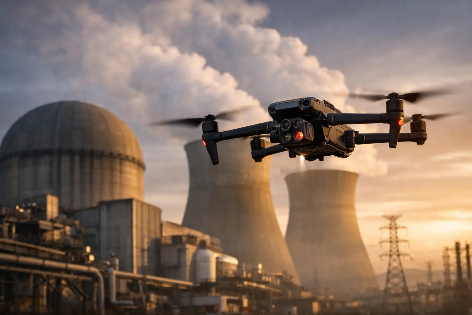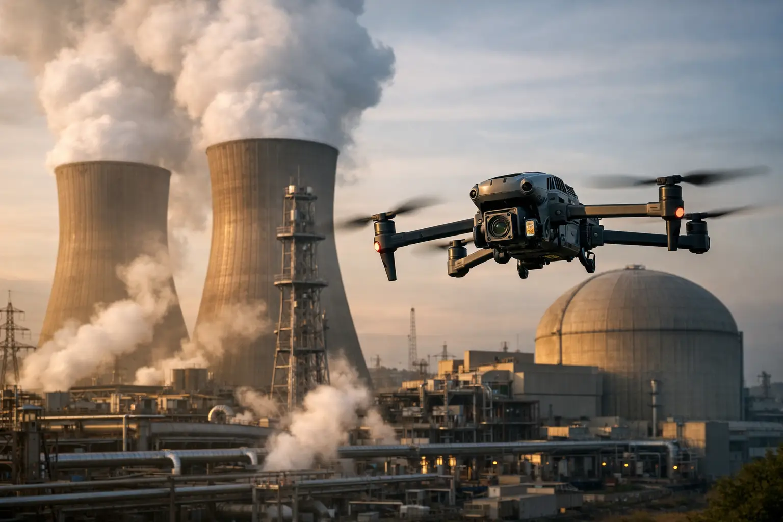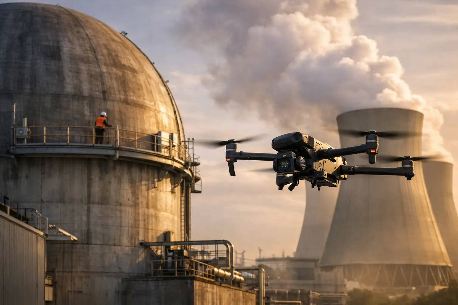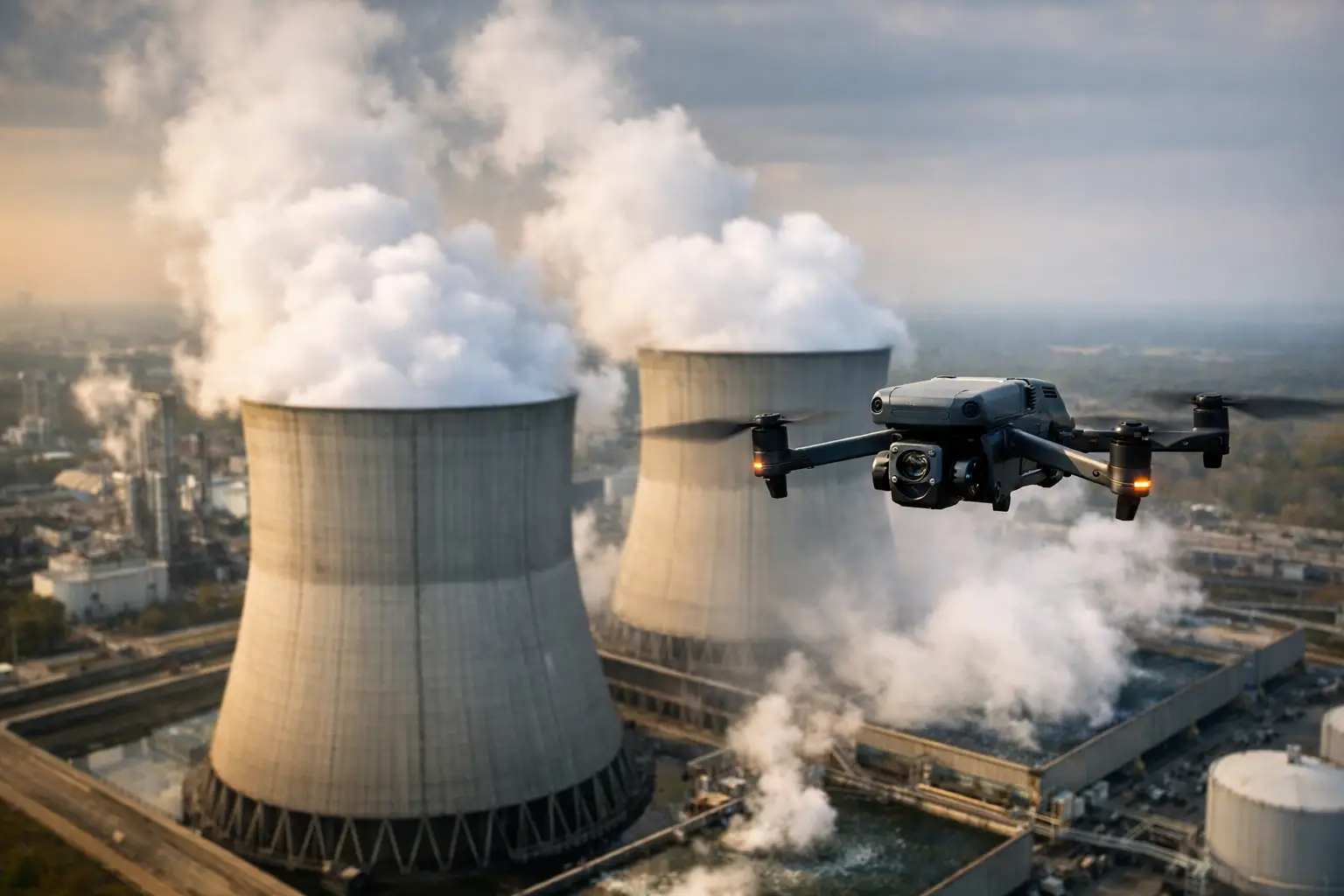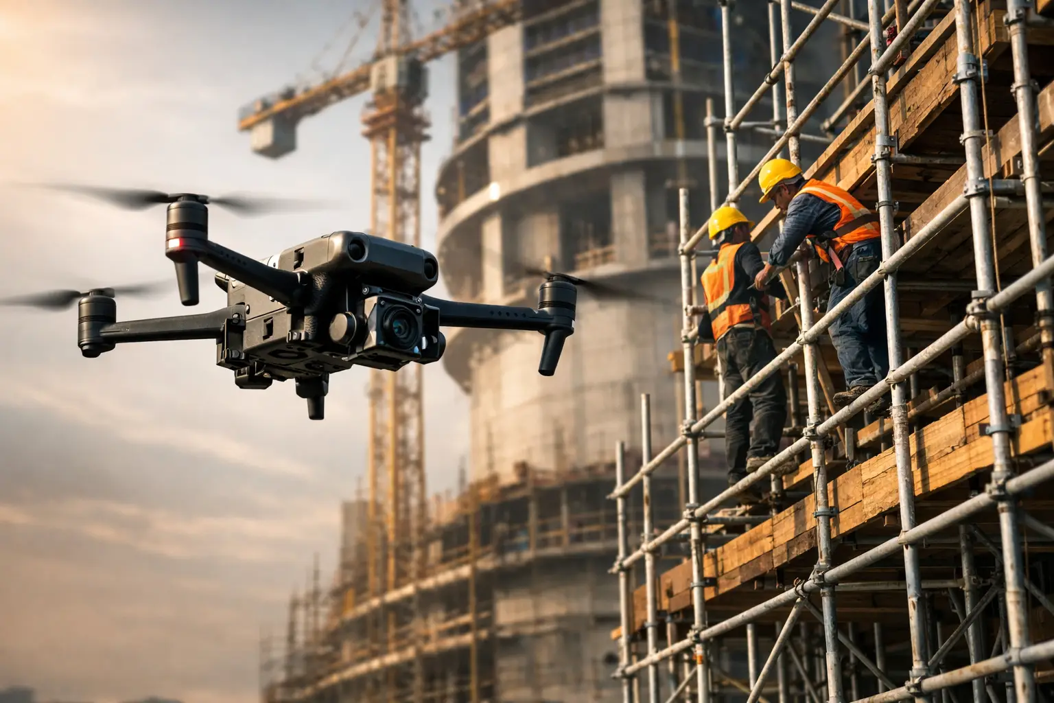
A cooling tower outage can turn a routine visual review into a major scheduling decision. Before anyone sees the asset, the team may need to arrange access, mobilize scaffold crews, establish exclusion zones, and coordinate work around operations. That is where drone data versus scaffolding inspections becomes a practical planning question, not a technology debate.
For industrial facilities, utilities, telecom operators, construction teams, and insurance organizations, the right method depends on the inspection objective. Drone-based data collection can document large or elevated areas quickly while reducing work-at-height exposure. Scaffolding provides close physical access when an inspector must touch, measure, test, or repair a component. The strongest programs do not treat one as a universal replacement for the other. They use each method where it delivers the best operational result.
Drone Data Versus Scaffolding Inspections: The Core Difference
Scaffolding is an access system. It brings personnel and equipment to a fixed position on an asset, often allowing hands-on visual examination, material assessment, nondestructive testing, thickness measurements, or repair work. It is the appropriate choice when the work requires physical contact or extended time at a specific location.
Drone operations are a data-collection workflow. A qualified flight team captures high-resolution visual imagery, video, thermal data where conditions and equipment support it, and site-wide documentation from perspectives that can be difficult or hazardous to reach by conventional means. The resulting imagery, maps, and models can help inspection, engineering, maintenance, and claims teams identify areas that need closer review.
That distinction matters. A drone can reveal missing fasteners, coating deterioration, damaged cladding, heat anomalies, corrosion patterns, loose hardware, or storm impacts visible from the air. It does not certify structural integrity, replace engineering judgment, or perform a contact-based test. Scaffolding can enable those next steps, but it is rarely the most efficient way to begin a broad assessment.
When Drone Data Delivers a Better First Look
Aerial inspection is especially effective when a team needs fast, repeatable visibility across a large surface area. Consider a transmission structure, industrial roof, cell tower, construction facade, cooling tower exterior, or post-storm commercial facility. The initial question is often not, “What repair is required?” It is, “Where is the damage, how extensive is it, and what needs priority attention?”
High-resolution aerial documentation can answer that question without putting personnel on scaffolding simply to locate the problem. It can also preserve a clear visual record of asset conditions at a particular point in time. That record is useful for maintenance planning, contractor coordination, insurance documentation, capital-project oversight, and comparison against future inspections.
For construction teams, repeatable drone capture can provide a broad view of facade progress, roof installation, material staging, site access, and work sequencing. Orthomosaic maps and 3D models may add context that isolated scaffold-level observations cannot provide. For facility managers, a consistent aerial record can help separate isolated defects from conditions occurring across an entire roof, exterior wall, or elevated structure.
Speed is another major factor. Scaffolding may require design, permitting or site authorization, transport, erection, inspection, and removal before the work begins. A drone mission also requires planning, site coordination, airspace review, weather assessment, safety controls, and qualified personnel. Still, the field collection itself is often substantially faster for a broad visual assessment.
This is particularly valuable after severe weather. Aerial documentation can help teams establish a timely record of affected roofs, towers, exterior systems, and industrial assets before repair decisions are made. In a catastrophe-response setting, getting organized visual intelligence quickly can help adjusters, owners, and operations teams direct ground resources to the locations that need them most.
Where Scaffolding Still Has the Advantage
The case for drone data should not obscure the situations where scaffolding is necessary. If an engineer needs to measure a crack, collect a material sample, use a specialized gauge, conduct ultrasonic thickness testing, inspect behind an obstruction, or carry out repair work, physical access is required. A drone can document the area and support planning, but it cannot complete a hands-on scope.
Scaffolding also provides a stable work platform for detailed examination over long durations. On complex assets with recesses, interior geometries, or heavily obstructed surfaces, close access may be the only reliable way to inspect every required point. Regulatory, owner, or engineering requirements may also prescribe a specific method for certain inspection activities.
The practical issue is not whether scaffolding is valuable. It is whether a full scaffold build is justified before the team understands the extent and location of the concern. In many cases, drone imagery can narrow the physical-access scope. Instead of building access around an entire structure, crews may be able to focus on confirmed areas of interest. That can reduce downtime, labor exposure, and disruption while preserving the detailed follow-up work that only qualified hands-on personnel can perform.
Safety and Operational Exposure
Work at height carries risk even when procedures are followed. Scaffold erection, climbing, transfers, changing weather, overhead hazards, and congested work areas all add exposure. The risk is not limited to the inspector. It can affect scaffold crews, nearby trades, plant personnel, and operations that must work around restricted areas.
Drone-based collection can reduce the need for personnel to access exposed elevations during the initial documentation phase. The benefit is most meaningful on tall, confined, damaged, or difficult-to-reach assets where access itself is a large portion of the job. It also reduces the amount of time personnel spend near edges, on elevated platforms, or in areas that may be difficult to isolate.
That does not mean drone work is risk-free. Professional operations require FAA Part 107 compliance, site-specific flight planning, weather monitoring, controlled launch and recovery areas, communication with site representatives, and a clear understanding of obstacles and operational constraints. Near critical infrastructure, airports, active construction zones, or energized equipment, disciplined planning is essential. A credible provider should treat aerial data collection as a controlled field operation, not a quick flight.
Cost Is More Than the Inspection Invoice
Comparing only the price of a drone mission with the price of a scaffold crew misses the larger cost picture. Scaffolding can involve mobilization, engineering, materials, labor, equipment rental, access delays, site preparation, operational interruptions, and demobilization. If the asset must be taken offline or work zones must be restricted, downtime can become the largest cost driver.
Drone services have their own costs, including qualified personnel, insurance coverage, mission planning, data processing, and deliverable preparation. But for broad visual documentation, those costs are often more predictable and less dependent on the physical scale of access work. Aerial capture can also reduce repeat trips by giving multiple stakeholders access to the same organized imagery.
The best comparison uses the actual decision at hand. If a plant team already has scaffolding erected for repairs, adding a close visual inspection may be efficient. If the team is trying to determine whether repairs are needed at all, aerial data may be the more economical first move. If an insurer needs time-sensitive condition evidence across many properties after a storm, drone documentation can be far more practical than scaffolding every location.
Data Quality, Coverage, and Reporting
A scaffold inspection gives the observer close-range detail at the locations reached. Its limitation is coverage and record consistency. Notes and photographs can be excellent, but documentation quality may vary by individual, and the full asset may not be captured in a single organized view.
Aerial workflows are built around coverage and repeatability. Flight paths, image sets, mapped outputs, 3D models, and labeled findings can create a useful record for teams that were not present in the field. This is valuable when owners, engineers, project managers, adjusters, and contractors need to review the same conditions without arranging repeated site access.
Data quality still depends on the mission design. Fine detail requires appropriate stand-off distance, camera capability, lighting, positioning, and safe access to the viewing angle. Thermal imaging requires suitable environmental conditions and knowledgeable interpretation. A thermal image may indicate a temperature difference, but it should be considered alongside asset conditions and follow-up evaluation rather than treated as a diagnosis by itself.
For high-value or complex assets, establish the required deliverables before fieldwork begins. The team may need overview imagery for executive reporting, detailed photos of specific components, an orthomosaic for site coordination, thermal images for targeted review, or a 3D model for planning. Clear deliverables keep the inspection from producing a large volume of images with little decision-making value.
A Combined Workflow Often Produces the Best Result
The most effective approach is commonly a staged workflow: aerial documentation first, targeted physical access second, and repair verification after the work is complete. This sequence gives decision-makers an early view of the full asset, identifies priority areas, and helps crews plan access around evidence rather than assumptions.
For example, a facility team reviewing an aging industrial roof may use aerial imagery to document seams, penetrations, drains, flashing, and visible surface damage. A roofing specialist can then conduct hands-on evaluation at the areas that warrant close attention. After repairs, updated aerial imagery can document the completed scope for internal records, ownership, or insurance files.
Air Reel Technologies supports this type of field-ready workflow with professional aerial inspection imagery, mapping, thermal data collection, and documentation designed for commercial and industrial decision-making. The goal is not to eliminate necessary access work. It is to make access work more targeted, informed, and defensible.
Before committing to scaffolding, define what the team must know, what evidence is required, and whether physical contact is truly needed at every location. A well-planned aerial assessment can give the next decision a clearer starting point – and keep crews focused where their expertise matters most.