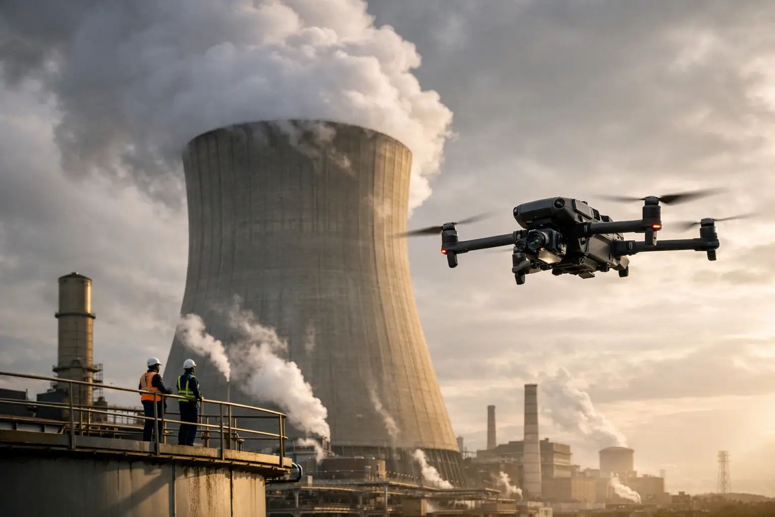
A missed corroded connection on a transmission structure, a deteriorating roof penetration at an industrial plant, or undocumented storm damage on a cell tower can become an expensive operational problem long before it becomes visible from the ground. This critical asset inspection guide outlines a disciplined way to plan inspections, collect usable visual evidence, and move findings into maintenance, engineering, insurance, and project-management decisions.
For high-value assets, an inspection is not simply a site visit. It is a controlled data-collection effort with defined coverage, known limitations, safety requirements, and a clear purpose. The strongest programs give decision-makers enough reliable information to prioritize the next action without creating unnecessary exposure for personnel or disruption for operations.
What Makes an Asset Critical?
An asset is critical when its condition, availability, or failure can materially affect safety, production, service continuity, regulatory obligations, project schedules, or financial exposure. That can include cooling towers, substations, transmission lines, pipelines, industrial rooftops, telecom structures, containment structures, and active construction areas.
Criticality is not determined by asset size alone. A small component in a high-consequence location may deserve more frequent attention than a larger asset with built-in redundancy. A practical inspection plan considers the consequence of failure, the likelihood of deterioration, accessibility, current operating conditions, weather exposure, repair history, and the cost of taking the asset out of service.
This distinction matters because inspection resources are finite. Treating every asset on the same schedule can waste time on low-risk areas while leaving emerging concerns at mission-critical locations undocumented.
Critical Asset Inspection Guide: Start With the Decision
Before selecting an inspection method or scheduling a field team, define the decision the inspection needs to support. “Inspect the facility” is too broad to produce consistent results. A better objective identifies what must be observed, documented, compared, or measured.
For example, a facility manager may need current imagery of roof seams, penetrations, drainage areas, and equipment interfaces before budgeting repairs. A utility operations team may need detailed imagery of insulators, hardware, vegetation encroachment, and conductor-adjacent conditions. A construction executive may need repeatable site documentation that confirms work progress against schedule and identifies areas requiring follow-up.
The objective determines the right deliverable. High-resolution still imagery may be appropriate for a visual condition review. Thermal imagery can support assessment of temperature anomalies when captured under suitable conditions and interpreted within its limits. Orthomosaic maps and 3D models can help teams understand site-wide conditions, quantities, access routes, or changes over time. None of these outputs independently certify structural integrity or replace engineering judgment. They provide documented visual intelligence for the professionals responsible for the next decision.
Define Coverage and Acceptance Criteria
A useful scope identifies the asset boundaries, priority components, required image angles, desired level of detail, and any known areas of concern. It should also specify whether the team needs a baseline record, a comparison to prior conditions, post-event documentation, or evidence supporting a maintenance work order or claim file.
Acceptance criteria prevent a common failure: collecting a large volume of imagery that cannot answer the original question. If a connector, flange, tower segment, expansion joint, or roof section must be reviewed, the plan should state the required coverage clearly enough for the field team to verify it before leaving the site.
Build Safety and Site Controls Into the Plan
The inspection plan must fit the operating environment. Active industrial facilities, energized infrastructure, elevated structures, construction sites, and disaster areas each introduce different hazards and access constraints. Coordinate early with site management, operations, safety personnel, and security requirements so the work can proceed without interfering with critical activity.
Aerial collection can reduce the need for personnel to climb structures, work near edges, enter difficult spaces, or use lifts for initial visual review. That risk reduction is valuable, but it does not remove the need for disciplined field operations. Weather, wind, radio-frequency conditions, equipment access, nearby traffic, personnel movement, airspace requirements, and facility-specific restrictions all affect the mission plan.
For regulated or sensitive environments, establish site procedures before deployment. Confirm points of contact, work windows, access rules, emergency procedures, communications protocols, and any required approvals. FAA Part 107 compliance and professional insurance coverage should be baseline expectations for commercial aerial inspection work, not afterthoughts.
Choose the Right Collection Method
The best inspection method depends on the asset, the suspected condition, and the required decision. A close visual review may call for detailed aerial imagery from multiple angles. A broad construction site may benefit more from recurring orthomosaic mapping and progress documentation. A storm-damaged property may require organized exterior imagery that records conditions before repairs begin.
Thermal data is particularly useful when a team needs to identify apparent temperature differences across roofs, electrical components, process equipment, or building envelopes. It requires careful planning. Surface temperature can be affected by sunlight, load, emissivity, wind, moisture, viewing angle, and the time of capture. Thermal imagery should be treated as a targeted diagnostic input, not a stand-alone declaration of defect or failure.
Ground-based observations and aerial data often work best together. Aerial imagery can identify locations that warrant a closer review, while maintenance or engineering personnel can evaluate the condition in the context of operating history, physical access, and design requirements. The goal is not to force one tool to answer every question. It is to get reliable information with the least practical risk and disruption.
Capture Data That Can Be Used Later
Inspection value declines quickly when imagery is poorly organized, inconsistently framed, or disconnected from the asset location. Field collection should be repeatable enough that teams can compare the same areas over time, particularly for corrosion monitoring, construction progress, storm recovery, roof conditions, and transmission infrastructure.
Use a logical naming and location structure that connects files to the site, asset, component, date, and inspection purpose. Record relevant mission conditions, including capture time, weather observations, and any coverage limitations. If a planned view could not be collected because of access, wind, operating restrictions, or safety concerns, document that gap directly. A known limitation is far more useful than an assumed complete record.
For larger facilities, maps and models can create a visual index that helps teams navigate individual findings. For repeat inspections, consistent flight paths, camera angles, and reference points improve comparison quality. Exact replication is not always possible, especially around active construction or changing site conditions, but a standardized method reduces avoidable variation.
Organize Findings by Action, Not Just by Image
A folder full of photographs is not an inspection deliverable. Decision-makers need a clear way to find significant observations, understand where they are located, and determine what follow-up is appropriate.
A practical findings record links each observation to an asset identifier or map location, supporting imagery, date, and a plain-language description. It may also classify the item by operational priority, such as immediate review, planned maintenance, monitor on the next cycle, or no action indicated from available visual evidence.
That priority should reflect the inspection team’s documented observations and the client’s established risk framework. When a finding requires engineering analysis, electrical testing, confined-space entry, or hands-on verification, say so plainly. Good documentation makes the handoff easier rather than overstating what visual data can prove.
Set Inspection Frequency Based on Risk and Change
There is no universal inspection interval for critical assets. Frequency should change with asset condition, operating duty, environmental exposure, recent events, maintenance history, and the consequence of a missed issue. A coastal facility, high-wind telecom structure, heavily loaded electrical asset, or active construction project may require a different cadence than a sheltered, stable asset with little change.
Event-driven inspections are equally important. Severe weather, wildfire smoke, flooding, equipment incidents, nearby construction activity, and suspected damage can justify prompt documentation. Fast aerial data collection can help teams establish current conditions, identify visible areas of concern, and preserve a record for maintenance planning, claims handling, or contractor coordination.
The strongest programs combine planned intervals with trigger-based inspections. Scheduled work builds a baseline. Event-driven work captures change when it matters most.
Measure Whether the Program Is Working
An inspection program should be judged by operational outcomes, not by the number of flights or images collected. Useful measures include time required to obtain coverage, reduction in work-at-height exposure, percentage of required areas documented, time from collection to delivery, repeatability of site records, and the number of findings that moved into a defined follow-up action.
Review results after each inspection cycle. If reports are arriving too late for maintenance planning, adjust the workflow. If images repeatedly lack the needed angle or detail, refine the scope and acceptance criteria. If teams are receiving more data than they can use, focus collection on priority assets and decision points.
For complex facilities and infrastructure, a dependable aerial partner can help establish this discipline through organized planning, FAA-compliant field execution, high-resolution imagery, thermal collection when appropriate, mapping, models, and inspection-ready documentation. Air Reel Technologies supports organizations that need field-tested aerial intelligence for demanding commercial and industrial environments.
The next inspection should not begin with a request to “get some drone photos.” Begin with the operational question, the asset risk, and the action the evidence must support. That is how inspection data becomes a practical maintenance and risk-management tool instead of another archive of files.