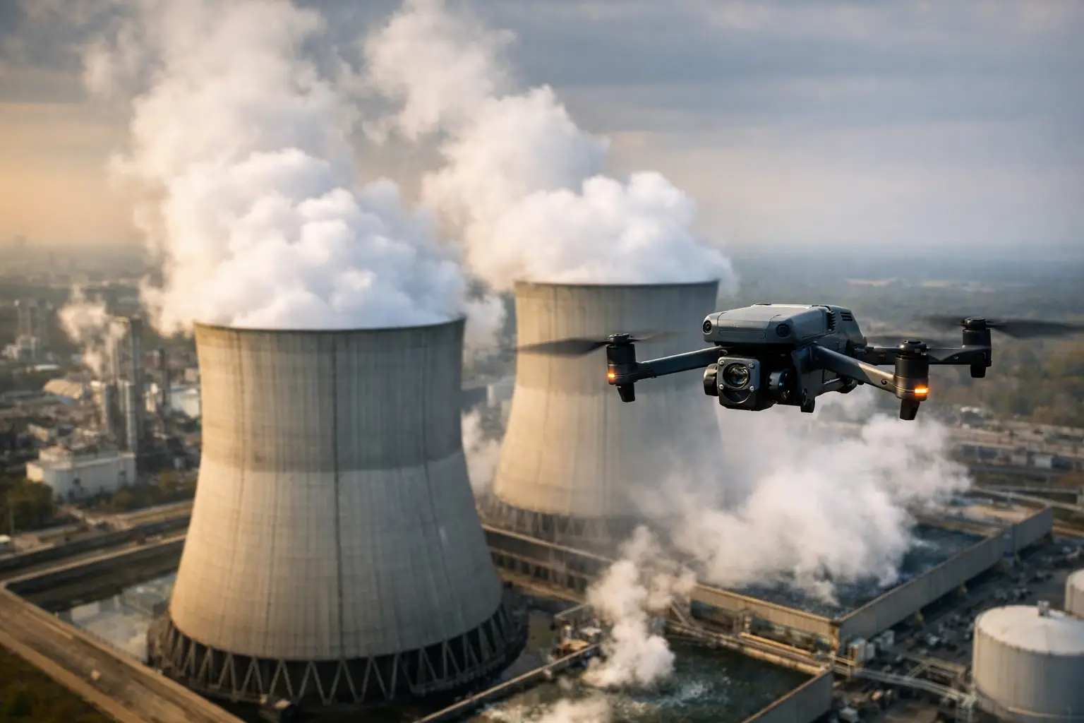
A cooling tower can remain in service while its condition becomes harder to see. Elevated fan decks, exterior shells, drift eliminators, fill areas, piping interfaces, and basin components all create inspection challenges that can turn a simple visual review into a costly access project. A cooling tower study gives operations, maintenance, engineering, and insurance teams organized aerial documentation to understand visible conditions before they commit crews, equipment, or outage time.
For power plants, industrial facilities, and large commercial operations, the value is not drone footage. It is a clear record of what is visible, where it is located, and how the condition compares over time. High-resolution imagery, thermal data when appropriate, mapping, and 3D models can help teams focus their next decision on the right area of the asset.
What a Cooling Tower Study Should Accomplish
A useful study begins with an operational question. A facility may need to document storm exposure, review exterior deterioration, assess a suspected heat-related anomaly, plan maintenance access, record construction progress, or establish a baseline before a major repair. The scope should be built around that need, not around collecting images for their own sake.
The resulting data should give stakeholders a consistent view of the structure without asking every reviewer to climb it. That may include wide-area context imagery, close visual documentation of targeted components, georeferenced maps, annotated findings, and a model that helps teams identify the position of observed conditions. When a review involves multiple departments or outside contractors, organized documentation reduces confusion about what was observed and when.
Aerial data does not replace an engineer’s evaluation, a hands-on inspection, or required compliance procedures. It supports those efforts by improving visibility and helping qualified teams determine where direct access, testing, or corrective work is warranted.
Why Traditional Cooling Tower Inspections Create Friction
Cooling towers are designed for thermal performance and process support, not easy access. Manual visual inspections can require lifts, rope access, scaffolding, shutdown coordination, confined-space considerations, and exposure to wet surfaces or active equipment. Those requirements are sometimes necessary, particularly when a technician must touch, test, or closely inspect a component. But they should be purposeful.
Aerial documentation can reduce the amount of preliminary climbing and broad searching required to identify visible areas of concern. Instead of sending personnel to survey every accessible elevation first, a facility can use current imagery to prioritize locations for closer review. This can help control labor costs, limit time at height, and shorten the planning cycle for maintenance work.
The trade-off is that image quality and interpretation depend on conditions. Steam plumes, poor light, wind, active fans, restricted flight areas, and complex geometry can limit what can be captured on a given day. A disciplined provider plans around site requirements, weather, asset operations, and safe flight boundaries rather than promising visibility that conditions cannot support.
The Data That Makes the Study Actionable
The right deliverables depend on the tower type, the facility’s question, and how the data will be used. A post-storm documentation assignment may emphasize comprehensive exterior coverage and time-stamped imagery. A maintenance planning assignment may require closer views of louvers, fan stacks, access structures, exterior cladding, or areas with known leakage and deterioration.
High-Resolution Visual Documentation
Detailed aerial imagery provides a repeatable visual record of accessible exterior areas. It can document corrosion, coating loss, loose or damaged exterior elements, staining, displaced components, vegetation intrusion, storm debris, and visible changes around connected infrastructure.
For a team managing a large asset portfolio, consistent image sets matter as much as individual photographs. When the same elevations, angles, and key components are captured over multiple visits, reviewers can compare conditions instead of relying on memory or incomplete field notes.
Thermal Imaging for Targeted Context
Thermal imaging can add useful context when temperature differences may indicate an area worth investigating. Depending on the operating state and environmental conditions, thermal data may help reveal uneven surface temperatures, potential wet areas, insulation-related concerns, or differences around mechanical and process components.
Thermal results require careful interpretation. Reflections, emissivity, sunlight, ambient temperature, surface materials, and moisture can affect readings. Thermal imagery should be treated as decision-support evidence, not a standalone diagnosis. It is most effective when captured with a defined objective and reviewed alongside visual imagery and facility knowledge.
Orthomosaics and 3D Models
For cooling tower sites with surrounding structures, basins, piping, access roads, and related plant assets, orthomosaic maps and 3D models can provide valuable spatial context. These deliverables help teams locate observations, plan access, communicate scope, and document repair progress.
A 3D model can be especially useful when maintenance planners, contractors, and managers are not all on site at the same time. It gives them a common reference point for discussing elevations, interfaces, and work sequencing. Accuracy expectations should be established in advance, since model quality depends on capture conditions, flight geometry, visible surfaces, and the intended use.
Planning a Cooling Tower Study Before the Flight
A productive cooling tower study is planned like an industrial field operation. The facility and aerial team should define the asset boundaries, target areas, operating conditions, access controls, safety requirements, communication channels, and expected deliverables before mobilization. That planning prevents a generic capture session from becoming a missed opportunity.
It also helps to identify what decisions the data must support. If the objective is an insurance claim, the team may need clear documentation of damage patterns, adjacent assets, and affected areas. If the objective is maintenance planning, the priority may be detailed coverage of selected components and a format that contractors can use to prepare scope and access requirements.
Airspace and site coordination are equally important. Critical infrastructure environments may involve restricted zones, active operations, cranes, overhead hazards, security procedures, or communications limitations. FAA Part 107-certified pilots, proper insurance coverage, documented site protocols, and clear go/no-go authority help keep data collection aligned with the facility’s safety program.
Turning Field Data Into a Maintenance Decision
The final package should be organized for the people who need to act on it. Hundreds of unstructured files create work for the client. A better approach groups imagery by tower, elevation, component, date, and observed condition, with annotations where they help reviewers quickly understand what they are seeing.
From there, the operations or engineering team can determine the appropriate next step. That may be continued monitoring, a closer hands-on review, repair scoping, a contractor walkdown, a shutdown plan, or claim documentation. The study has done its job when it reduces uncertainty and gives the responsible team a defensible basis for prioritization.
Repeat studies often provide the strongest operational value. A single survey captures a moment. Scheduled documentation before and after severe weather, during major maintenance, or at defined operating intervals creates a condition history that supports trend review and more informed capital planning.
When Aerial Data Is the Best Fit
Aerial inspection support is particularly useful when the first question is visual: What changed? Where is the damage? Which areas need closer attention? It is also well suited to assets where access is costly, disruptive, hazardous, or difficult to coordinate.
It may be less suitable as the only method when a decision requires material testing, internal examination, contact measurements, or a professional structural determination. In those cases, aerial data still has value as a planning and documentation tool, helping the qualified inspection team arrive with a clearer target and better context.
For facilities in Georgia and across the Southeast, severe weather, heat, humidity, and demanding operating schedules can make condition documentation an ongoing need rather than a one-time project. Air Reel Technologies supports that work with disciplined aerial collection, high-resolution imagery, thermal options, mapping, and documentation designed for industrial decision-making.
The most useful next step is to define the question before scheduling the flight. When a cooling tower study is tied to a real maintenance, engineering, claims, or operations decision, the resulting data becomes more than a record of the asset. It becomes a practical tool for deciding what deserves attention next.