A shutdown window is expensive. A tower climb carries risk. A manual roof inspection can take hours and still miss context that matters later. That is why a commercial drone inspection guide should start with operations, not aircraft. For commercial, industrial, and infrastructure teams, the real value is not the drone itself. It is faster access to difficult areas, clearer visual records, and safer data collection that supports maintenance, engineering, claims, and project decisions.
What a commercial drone inspection guide should actually cover
Too many articles treat drone inspection as a simple equipment choice. For serious assets, it is a field operation. The questions that matter most are straightforward. What asset is being documented, what decisions will the imagery support, what level of detail is required, and what site conditions could affect safety, access, or data quality?
A commercial drone inspection guide should help teams define scope before launch. Inspecting a substation, a cooling tower, a cell tower, or a large construction site are very different missions. The flight plan, sensor choice, image overlap, altitude, safety perimeter, and final deliverables should match the asset and the business need.
That is also where many inspections succeed or fail. If the client needs thermal imagery to support maintenance planning, standard visual photography alone is not enough. If an engineering team needs orthomosaic mapping or a 3D model for documentation, a quick flyover will not produce usable results. The inspection objective drives the workflow.
Start with the decision you need to make
The fastest way to waste time with drone data is to collect a large volume of imagery without a defined use case. Before any field deployment, establish the purpose of the inspection. In practice, most commercial drone inspections fall into a few categories.
Some missions support condition assessment by capturing high-resolution imagery of roofs, facades, stacks, towers, flare systems, cooling structures, or other elevated assets. Some support progress tracking and site documentation on active construction projects. Others are built around thermal review for heat anomalies, moisture intrusion indicators, panel performance issues, or mechanical irregularities that need follow-up by the appropriate trade or engineering team.
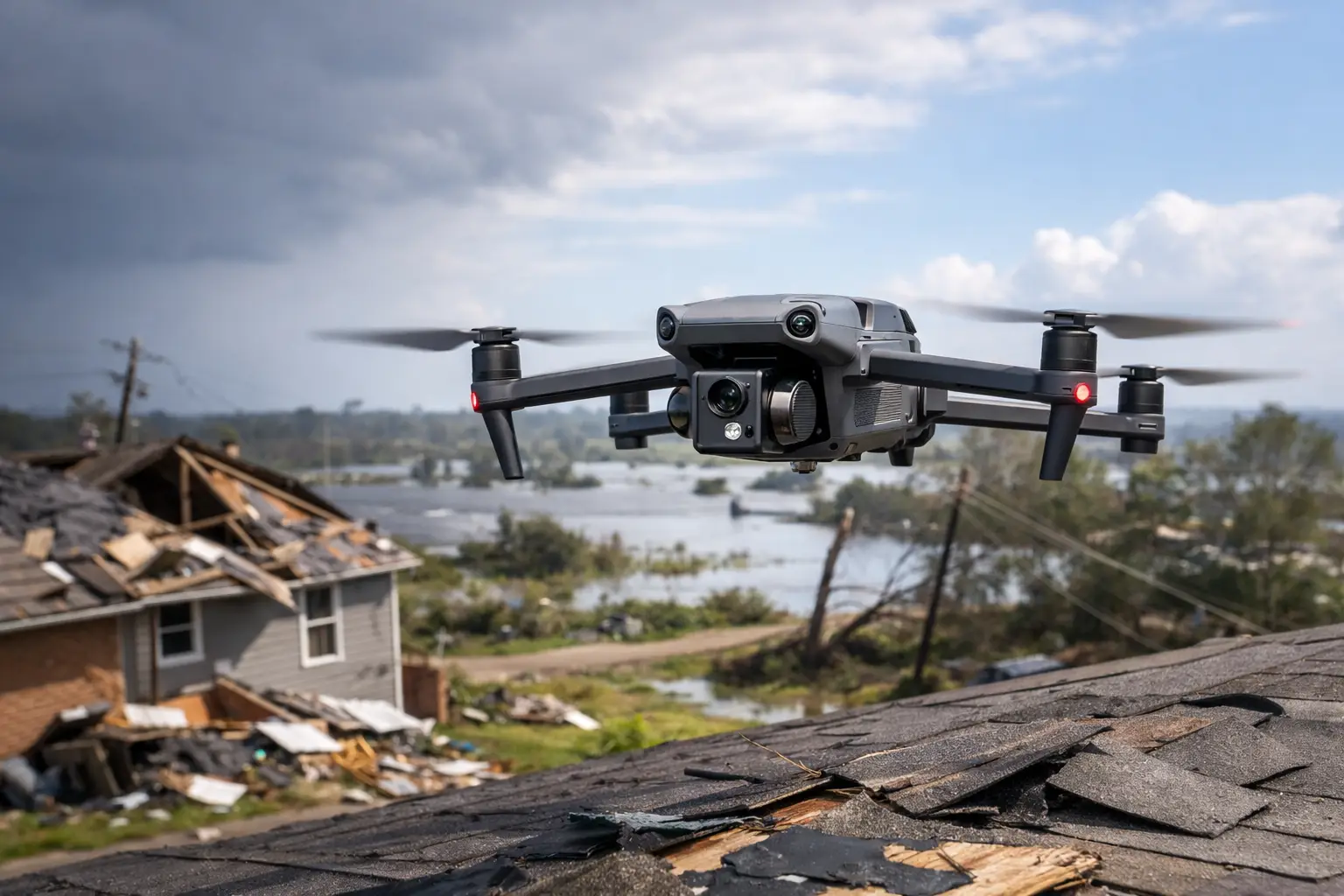
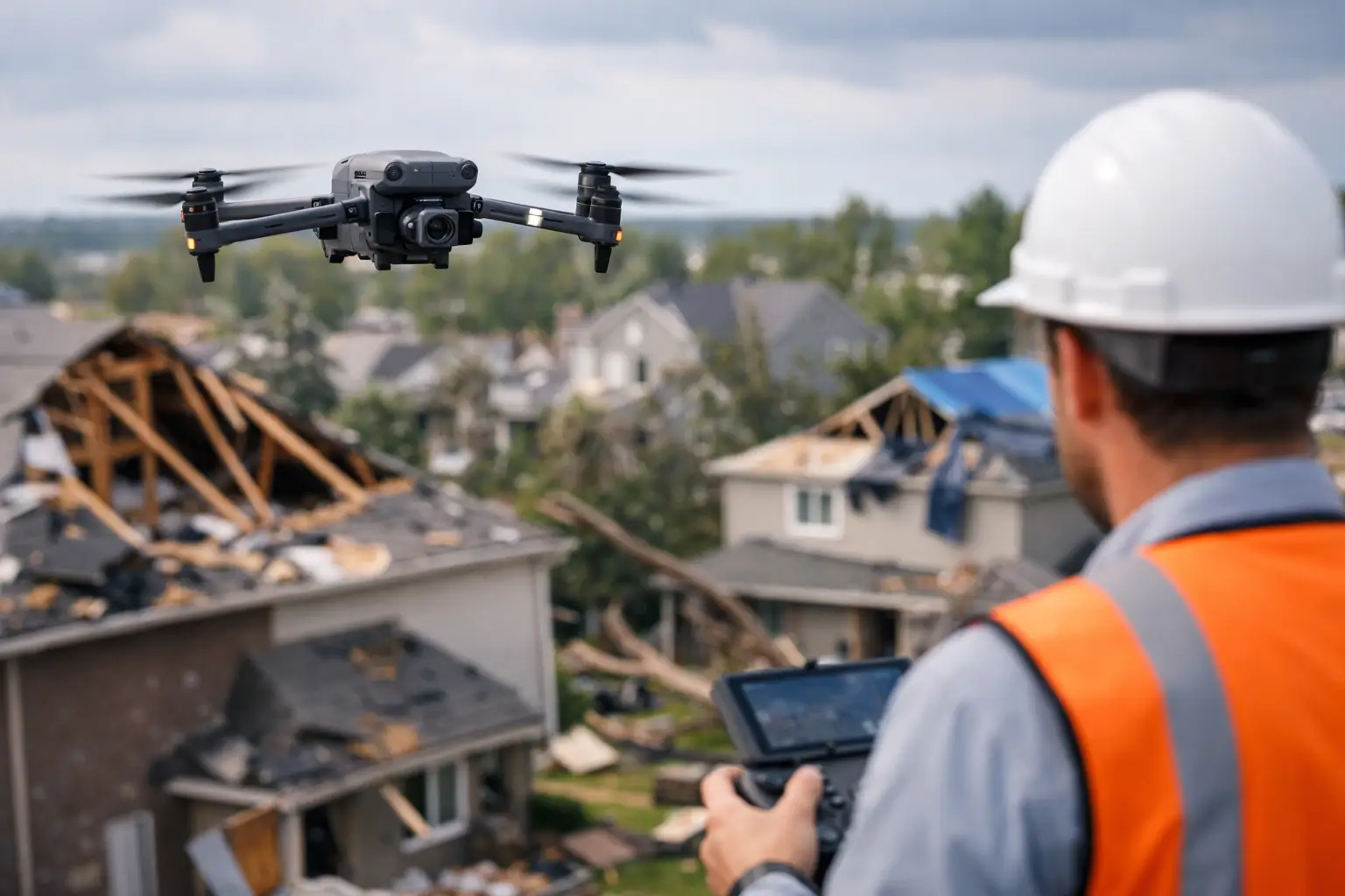
Insurance and catastrophe documentation is another major use case. In those situations, speed and consistency matter as much as image quality. Decision-makers need organized visual evidence, broad site context, and repeatable documentation that can support claims review, underwriting, damage assessment, or recovery planning.
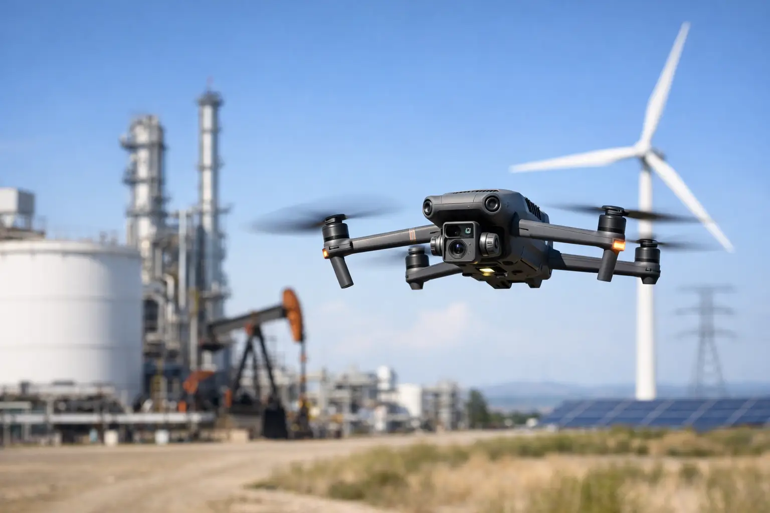
Asset type changes the inspection plan
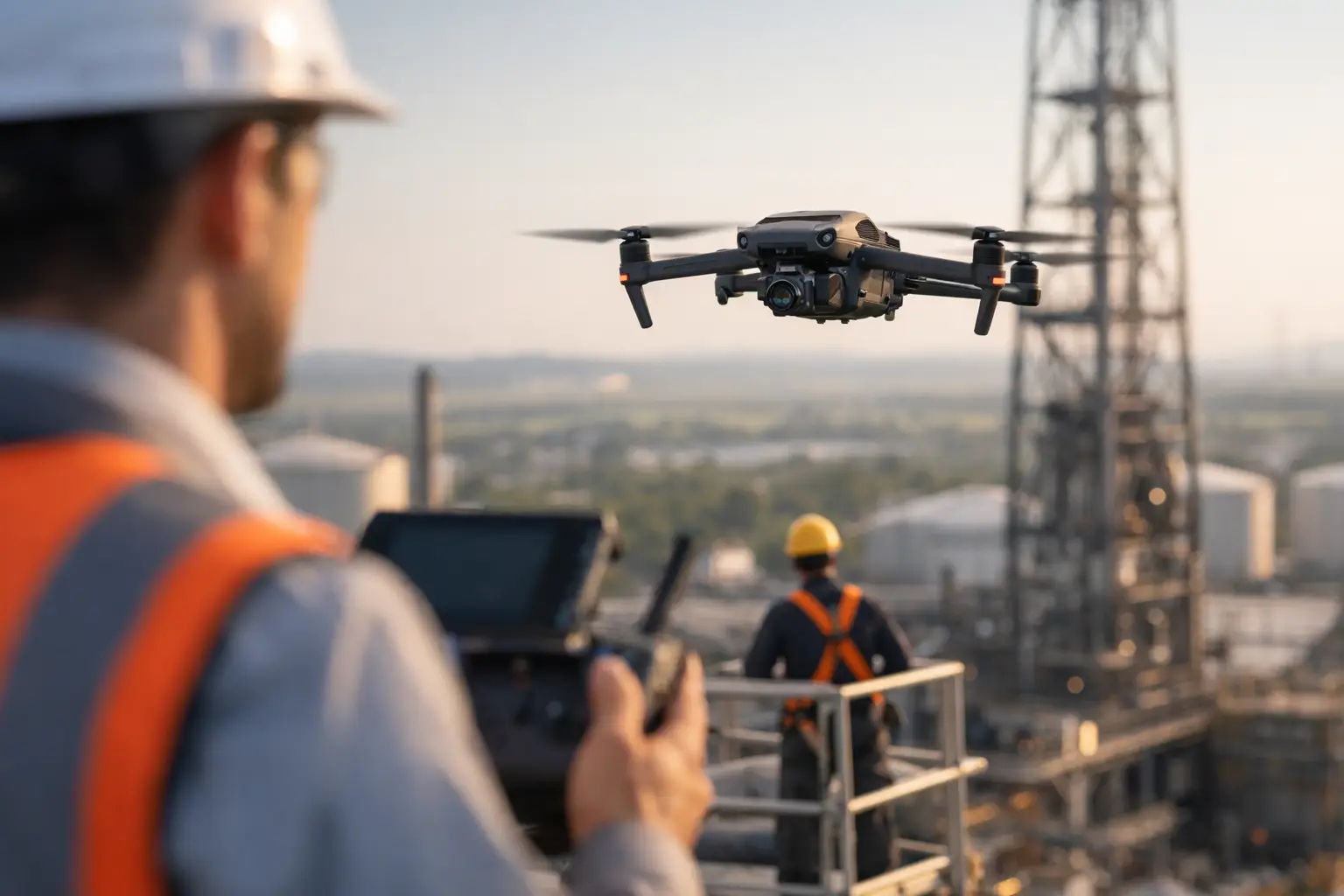
A commercial roof inspection is not the same as a transmission line review, and neither looks like a power generation facility survey. Asset geometry, surrounding hazards, reflectivity, interference, wind patterns, access limitations, and required standoff distances all affect how the work should be performed.
For vertical assets such as towers, stacks, and containment structures, close-range image capture and disciplined flight paths are critical. For broad horizontal assets such as pipelines, large rooftops, solar fields, or construction sites, coverage planning and image consistency become the bigger issue. A facility manager may need close visual detail on a single defect area, while a project executive may need a wide-area record of an entire site for reporting and schedule management.
This is why one-size-fits-all pricing and generic flight packages are a poor fit for industrial work. The right approach depends on the asset, the risk exposure, and the expected deliverable.
Safety and compliance are part of the inspection, not a side note
Commercial clients do not need a pilot who simply knows how to fly. They need a provider that can operate within a controlled process. FAA Part 107 certification is a baseline requirement, but it is only one part of field readiness. Site-specific hazard review, airspace evaluation, weather assessment, communication planning, insurance coverage, and disciplined documentation all matter.
In higher-risk environments, drone use should reduce exposure, not create new problems. That means defining takeoff and recovery zones, accounting for nearby personnel and equipment, understanding electromagnetic or thermal conditions, and aligning the mission with site rules and operational constraints. It also means knowing when not to fly. Wind, precipitation, restricted access, interference, and congested work areas can all change the plan.
For regulated or sensitive sites, coordination is often as important as the flight itself. Inspection teams should be prepared to work within facility procedures and support the owner’s safety culture rather than forcing a generic workflow onto a complex environment.
The right deliverables matter more than the raw footage
Many buyers ask for drone photos when what they actually need is inspection documentation. There is a difference. Raw imagery has limited value if it is not organized around the asset, date, location, and objective.
Useful deliverables may include annotated high-resolution images, thermal imagery sets, orthomosaic maps, 3D models, condition documentation, and image packages sorted by asset zone or issue area. The right format depends on who will use the output. Operations teams often want clear visual reference for maintenance planning. Engineering teams may need image consistency and positional context. Insurance stakeholders may need date-stamped documentation that captures both close-up detail and overall site conditions.
A good drone inspection workflow should make it easier for downstream teams to act. If the output creates more sorting, guessing, or back-and-forth, the inspection did not go far enough.
Where drone inspections save time and where they do not
Drone-based inspection can sharply reduce the need for lifts, scaffolding, rope access, repeated roof walks, or unnecessary tower climbs. That usually means less downtime, lower exposure, and faster documentation. For large facilities and hard-to-reach structures, those gains are significant.
Still, there are trade-offs. A drone can document conditions and reveal visible or thermal indicators, but it does not replace hands-on repair work, engineering judgment, or required compliance inspections. If a flight identifies a suspected issue, follow-up by the appropriate specialist may still be necessary. The value is in narrowing the problem, improving visibility, and helping teams prioritize action.
It also depends on the environment. Dense obstructions, severe weather, heavy interference, or limited access windows can reduce efficiency. In those cases, a strong provider adjusts the scope and capture strategy instead of forcing unrealistic expectations.
Choosing a provider for complex commercial work
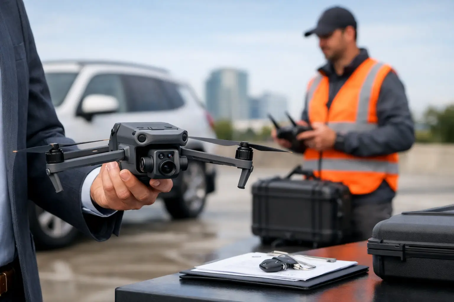
The market is crowded with drone operators, but commercial inspection work is not a hobby service. Buyers should look for evidence of field discipline, insurance coverage, inspection experience, and an understanding of industrial environments. The question is not whether someone owns a capable aircraft. It is whether they can support a real operational objective under real site conditions.
Ask how the provider handles pre-mission planning, safety review, deliverable structure, and data organization. Ask what experience they have with construction, utilities, industrial rooftops, towers, plants, or catastrophe-response environments. Ask how they manage repeat inspections if you need comparable documentation over time.
This is also where local and regional experience can help. A provider operating regularly across Georgia and the Southeast may already understand the weather patterns, project demands, and response expectations that affect inspection scheduling in this region. Air Reel Technologies is built around that kind of field-ready support for commercial and infrastructure clients that need dependable execution, not casual aerial capture.
Building a repeatable drone inspection program
For organizations with multiple sites or recurring inspection needs, the biggest gains come from standardization. Repeatable flight paths, consistent naming conventions, defined deliverables, and scheduled documentation cycles make the data more useful over time. A single drone mission can solve an immediate problem. A structured inspection program helps teams track change, compare conditions, and improve planning across an asset portfolio.
That could mean quarterly roof documentation for a facility group, progress flights tied to construction milestones, post-storm imagery for insurance support, or recurring thermal reviews on selected infrastructure. The exact cadence depends on the asset and the operational risk, but the principle stays the same. Consistency turns drone data into a working record rather than a one-time snapshot.
The practical standard for a strong inspection mission
A strong mission is not judged by how dramatic the footage looks. It is judged by whether the client gets clear, organized, decision-ready information without adding unnecessary risk to the site. That means the inspection was scoped correctly, flown safely, documented thoroughly, and delivered in a form the team can actually use.
For commercial and industrial operators, that is the standard that matters. If you are evaluating drone inspection support, focus on the workflow behind the aircraft. The right partner will treat the mission like a field operation tied to maintenance, engineering, claims, or project performance – because that is exactly what it is.