
Critical Asset Inspection Guide for Safer Decisions
Use this critical asset inspection guide to plan safer fieldwork, capture decision-ready visual data, and prioritize maintenance across key facilities.
Use this critical asset inspection guide to plan safer fieldwork, capture decision-ready visual data, and prioritize maintenance across key facilities.
See what data supports insurance adjusters: aerial imagery, thermal scans, maps, timestamps, and documentation for defensible claim decisions faster.
Use orthophotos for scheduling to verify progress, plan work zones, and spot sequencing conflicts before they put key construction milestones at risk.
Drone data versus scaffolding inspections compare safety, coverage, cost, and reporting for complex commercial and industrial asset reviews nationwide.
Learn how to plan disaster drone flights for safe, fast aerial documentation, claims support, and infrastructure decisions after severe weather events.
Use this industrial photogrammetry accuracy guide to plan drone mapping, control error, and deliver reliable models for high-value assets and projects.
See utility asset inspection examples that help utilities document defects, prioritize field work, reduce exposure, and support maintenance decisions.
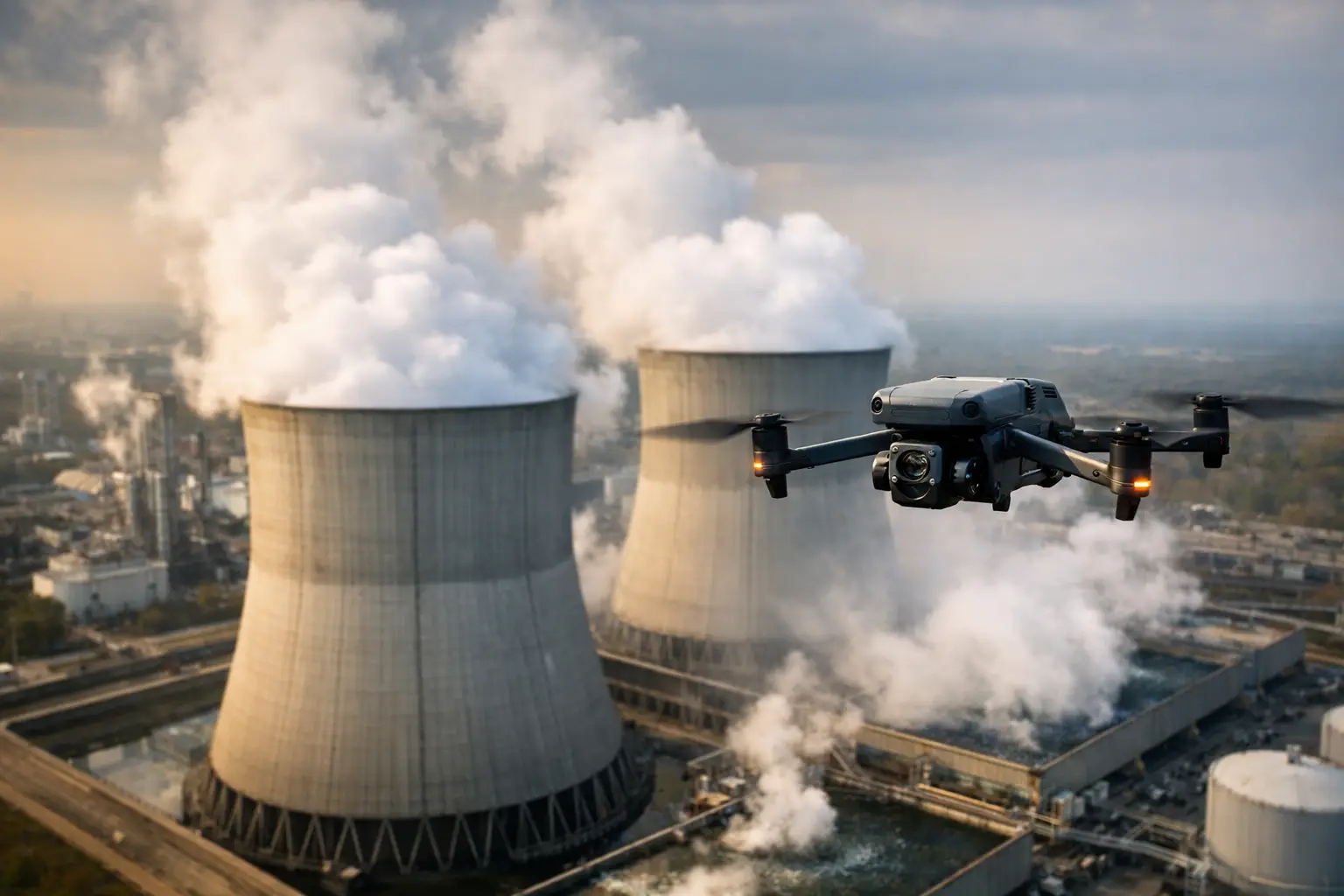
A cooling tower study uses aerial imagery, thermal data, and mapping to support safer maintenance planning, condition reviews, and key plant decisions.
Drone map accuracy depends on flight planning, ground control, processing, and validation. Learn what project teams should require from aerial data for critical assets.
Use the best pipeline documentation methods to capture consistent imagery, thermal data, maps, and records for maintenance, compliance, and claims work.