How to Validate Photogrammetry Accuracy on Site
Learn how to validate photogrammetry accuracy using control points, checkpoints, error reports, and field checks for trusted industrial mapping and models.
Learn how to validate photogrammetry accuracy using control points, checkpoints, error reports, and field checks for trusted industrial mapping and models.
Learn how to validate photogrammetry accuracy using control points, checkpoints, error reports, and field checks for trusted industrial mapping and models.
Learn how to create construction orthophotos with disciplined flight planning, ground control, processing, and quality checks for dependable site records.
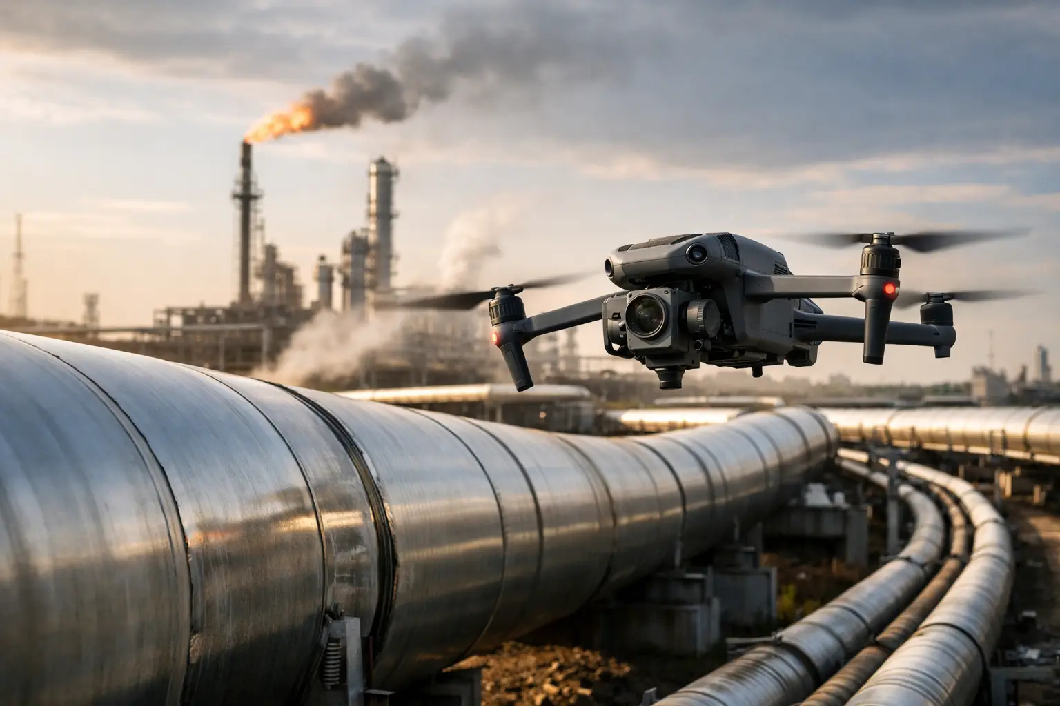
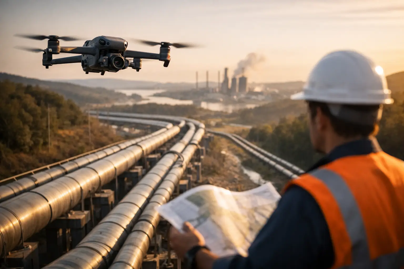
See a practical pipeline mapping example that turns aerial imagery into usable documentation for inspection planning, maintenance, and field decisions.
Learn how to map pipeline routes with accurate aerial data, clear corridor records, and field-ready deliverables for planning, inspection, and maintenance.
Learn the best ways to inspect rooftops on commercial and industrial facilities using safe access, drone imagery, thermal data, and clear documentation.
Visual documentation for property claims gives adjusters, owners, and carriers dated evidence to assess damage, scope work, and resolve files faster.
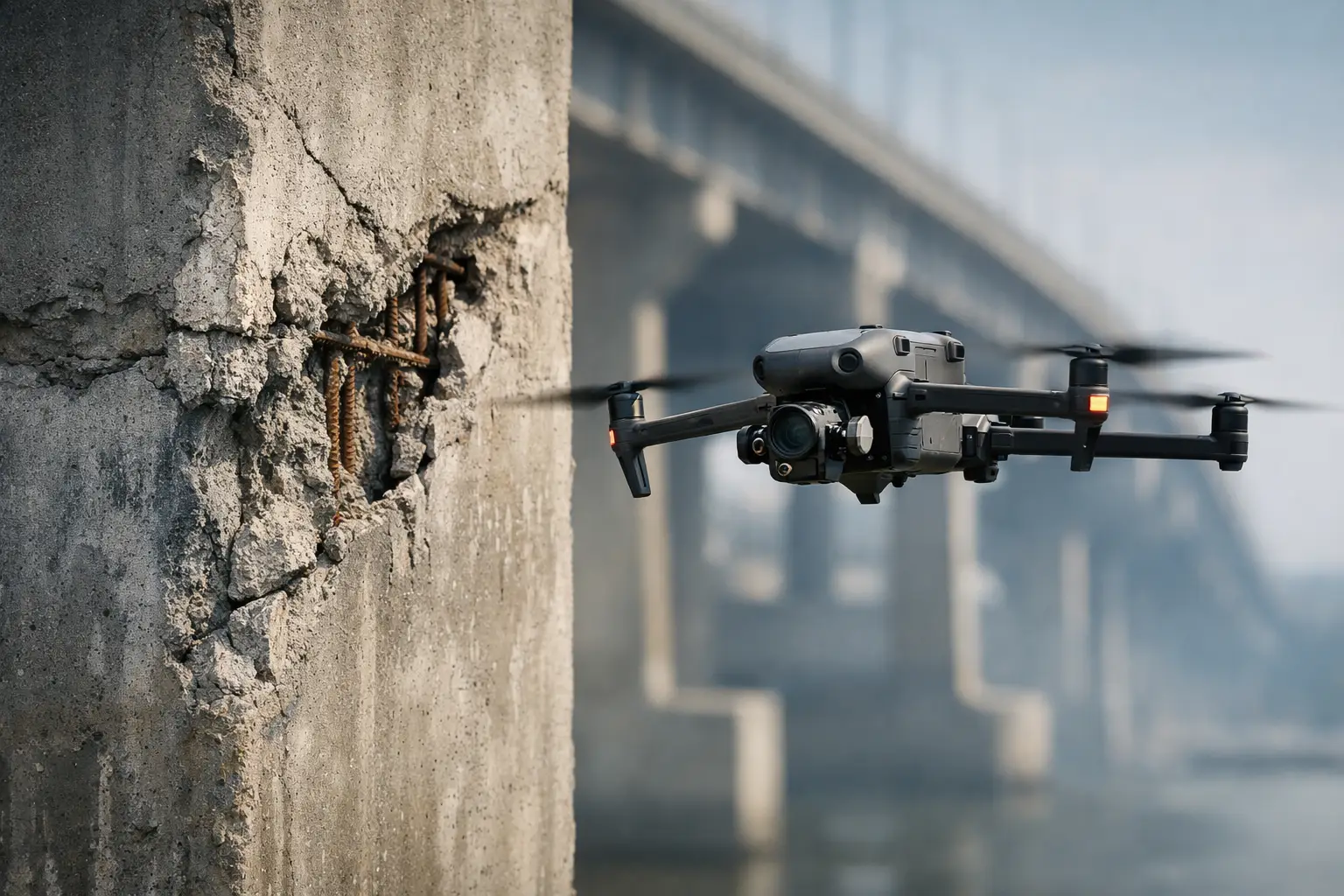
Can drones identify concrete defects? Learn what aerial imagery and thermal data can reveal, where verification is needed, and plan safer inspections.
Use this critical asset inspection guide to plan safer fieldwork, capture decision-ready visual data, and prioritize maintenance across key facilities.
See what data supports insurance adjusters: aerial imagery, thermal scans, maps, timestamps, and documentation for defensible claim decisions faster.