Power Plant Visual Documentation That Supports Decisions
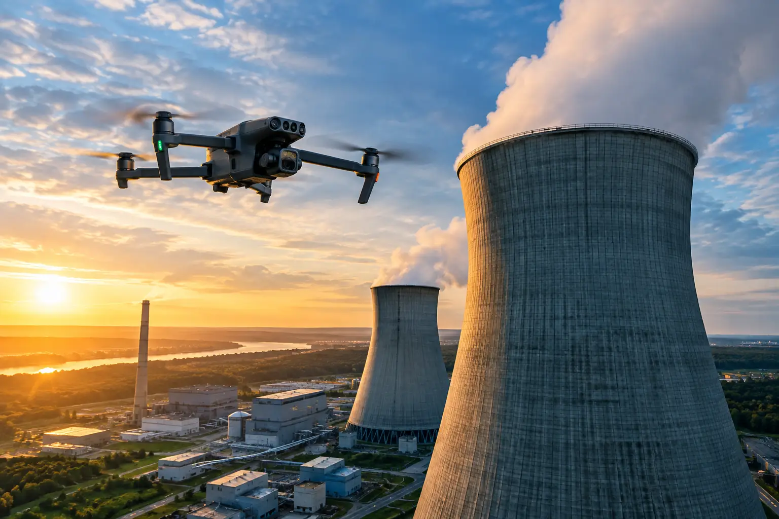
Power plant visual documentation gives operations teams repeatable records for maintenance planning, outage work, safety reviews, and claims support.
Power plant visual documentation gives operations teams repeatable records for maintenance planning, outage work, safety reviews, and claims support.
Learn how drone inspection cost savings reduce labor, access, downtime, and risk while delivering documented visual data for complex industrial assets.
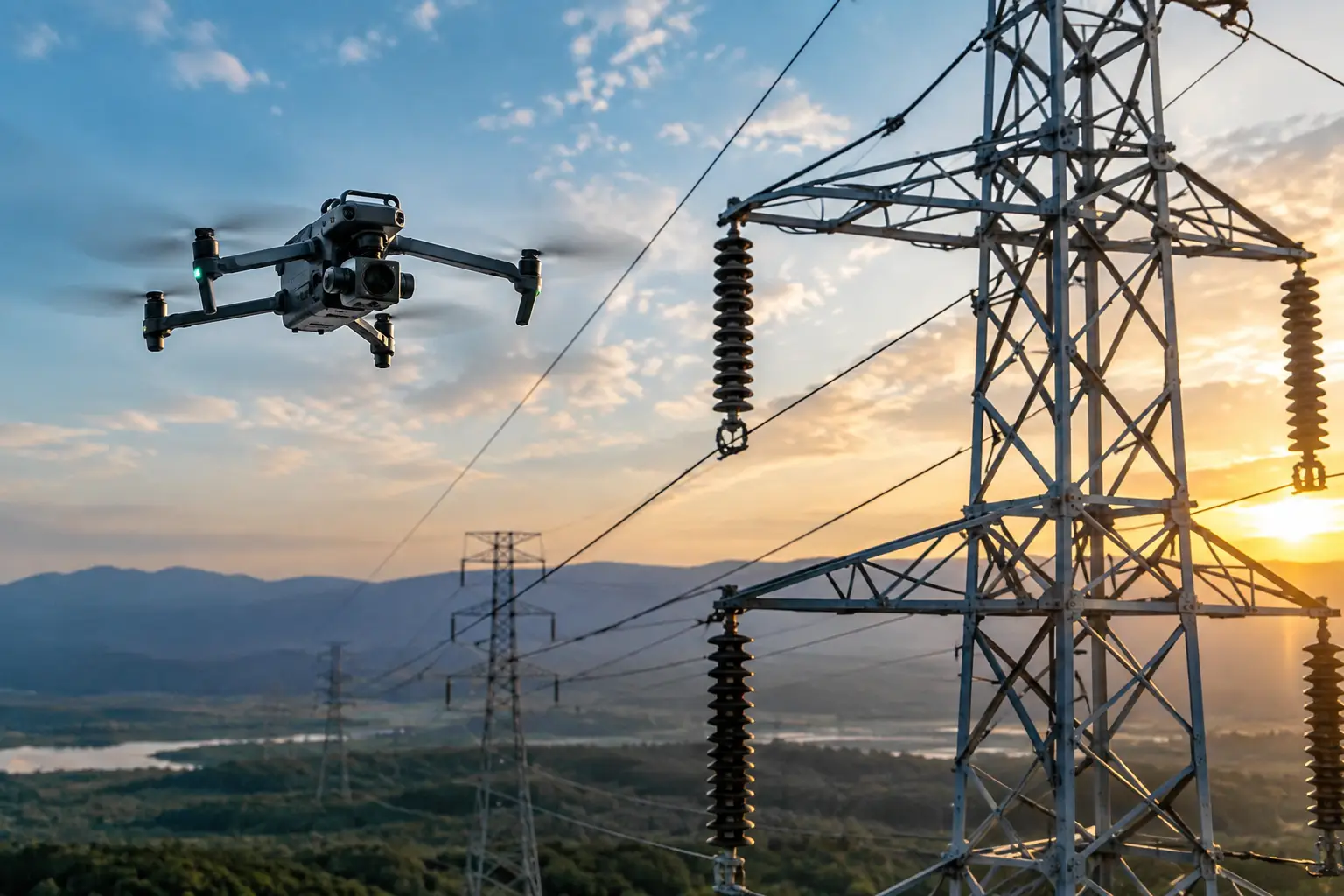
Transmission line inspection documentation that gives utility and engineering teams traceable imagery, thermal findings, and maintenance-ready asset records.
Drone lidar vs photogrammetry: choose the right aerial data method for construction, utilities, and industrial inspections based on terrain and needs today.
Learn how to capture roof thermal data with proper conditions, flight planning, calibration, and reporting for dependable commercial inspections teams.
Learn how to assess concrete spalling aerially with high-resolution imagery, repeatable documentation, and safer access planning for complex assets today.
Compare drone photogrammetry versus survey crews for safer, faster site data, better coverage, and the right workflow for complex projects and assets.
Use this telecom documentation example to build cell tower inspection records with image logs, asset details, defect notes, maps, and reporting standards.
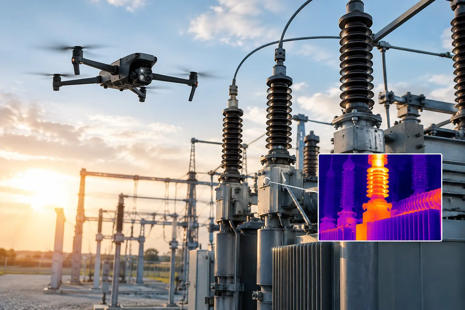
This substation inspection case study shows how aerial visual and thermal data can help teams prioritize maintenance while reducing field exposure risk.
Learn how to organize aerial claim evidence with a disciplined workflow that speeds review, protects context and supports timely claim decisions after loss.