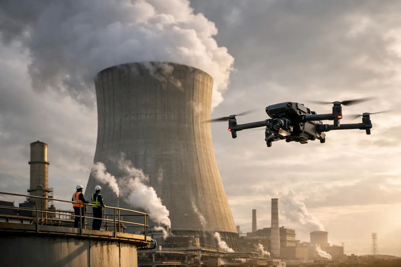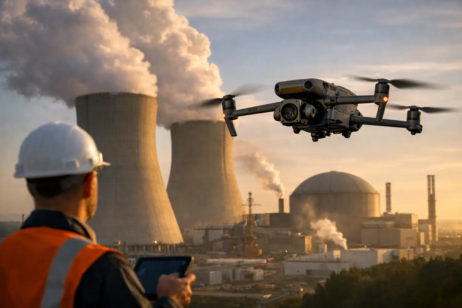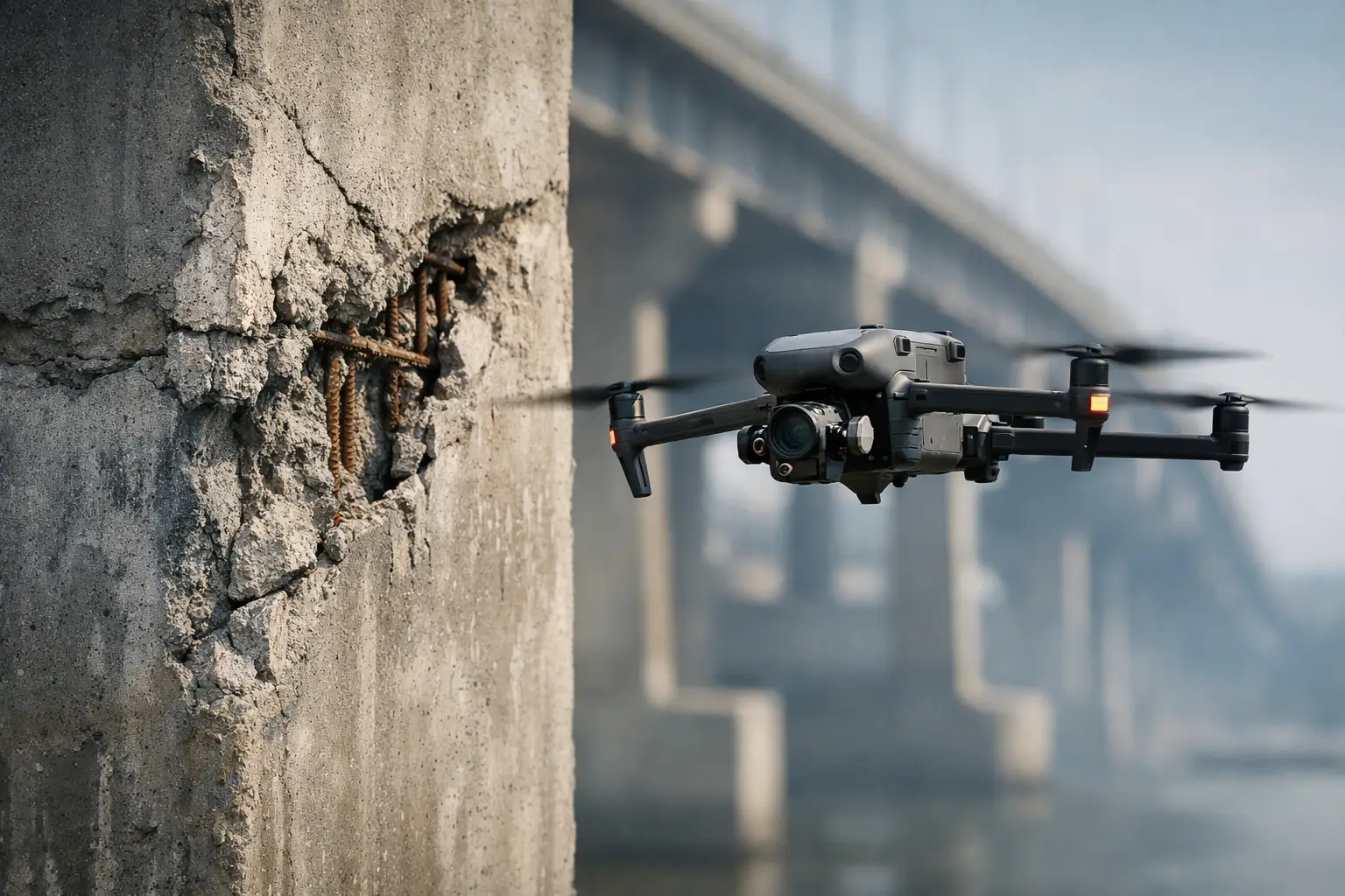
A crack high on a cooling tower, staining beneath a bridge bearing, or a spalled area on a containment exterior can remain out of view until access equipment is mobilized. That delay has a cost in labor, scheduling, production disruption, and worker exposure. So, can drones identify concrete defects? Yes – when deployed with the right sensors, flight plan, image quality, and review process, drones can identify visible defects and flag conditions that warrant closer engineering or maintenance evaluation.
The distinction matters. A drone inspection can document cracks, spalling, exposed reinforcement, joint distress, discoloration, and moisture-related anomalies. It does not certify structural integrity or replace an engineer’s assessment. Its value is in providing safe, repeatable visual intelligence that helps teams prioritize access, verify reported conditions, track deterioration, and make better maintenance decisions.
Can Drones Identify Concrete Defects From the Air?
For many exterior structures, the answer is yes. High-resolution aerial imagery gives inspection and engineering teams a close view of areas that are difficult, costly, or hazardous to reach by lift, rope access, scaffolding, or climbing. On large assets, a planned drone mission can capture hundreds or thousands of organized images from consistent positions, creating a documented condition record rather than relying solely on field notes or isolated photographs.
Visible conditions a drone may help identify include surface cracking, spalls, delamination indicators, scaling, efflorescence, rust staining, exposed or corroding reinforcing steel, failed sealant, open joints, patched areas, and water intrusion paths. The same mission can also capture contextual images showing where a condition sits relative to penetrations, expansion joints, structural transitions, drain paths, or attached equipment.
The strongest use case is not simply finding one obvious defect. It is establishing coverage across a large asset and making the findings reviewable. A facility manager can compare current images with previous inspection documentation. A project team can see whether cracking appeared after a construction phase. An insurance or catastrophe-response team can separate pre-existing conditions from newly visible storm damage when earlier documentation is available.
What Drone Sensors Can Reveal
Standard visual imaging remains the primary tool for concrete-condition documentation. A properly exposed, sharply focused image can show fine surface details that may be missed from the ground. However, sensor selection should follow the inspection question, not the other way around.
High-Resolution Visual Imagery
Visual imagery is well suited to documenting surface-level conditions such as cracks, deterioration, staining, missing material, and failed coatings. Image resolution, stand-off distance, lens selection, lighting, and camera angle determine whether a feature is actually visible. A wide overview image may establish location, while closer oblique images provide the detail needed for review.
Crack visibility deserves particular care. A narrow crack may be detectable in a close, stable image but disappear in a broader shot. Shadows, rough texture, prior coatings, dirt, and low contrast can all obscure it. For that reason, field teams should define the minimum feature size they need to see before flight planning begins.
Thermal Imaging
Thermal imaging can help identify temperature differences that may be associated with moisture intrusion, voids, delamination, or differences in material condition. On a large concrete roof deck, façade, cooling tower shell, or retaining structure, thermal data can help direct attention to areas that appear different from surrounding material.
Thermal findings are indicators, not proof of a defect. Surface temperature is affected by solar loading, time of day, wind, ambient conditions, surface moisture, material thickness, and subsurface geometry. A thermal anomaly needs correlation with visual imagery and, when warranted, follow-up testing by qualified personnel. Used correctly, it is a valuable screening tool that can narrow the areas requiring hands-on investigation.
Mapping and 3D Models
Orthomosaic maps and three-dimensional models can add practical value on large, accessible concrete assets. They provide a common visual reference for marking observed conditions, measuring approximate areas, and communicating locations to maintenance crews and engineering teams.
These deliverables are especially useful on construction sites, industrial campuses, large foundations, retaining walls, and exterior structural surfaces where teams need to coordinate work across disciplines. Measurements and model outputs should be used within their stated accuracy and collection limits. If a repair scope depends on precise dimensions or structural interpretation, field verification remains necessary.
The Difference Between Detection and Diagnosis
A drone can show that something has changed. It may show a crack pattern, a spalled section, rust bleeding from reinforcement, or an area behaving differently in thermal imagery. It cannot, from imagery alone, determine the full cause, depth, severity, or structural consequence of that condition.
For example, rust staining may point to reinforcement corrosion, but the image cannot establish the extent of section loss behind the concrete cover. A dark area may suggest water exposure, but it may also result from surface runoff, shadowing, or a recent weather event. A crack can be documented by length and location, yet determining whether it is active, cosmetic, shrinkage-related, or tied to movement requires the appropriate engineering context.
This is where drone data supports a disciplined inspection program. It helps a team determine where to send personnel, what to monitor over time, and which areas justify nondestructive testing, sounding, probes, or direct access. The goal is not to make an aerial image carry more authority than it should. The goal is to use that image to reduce uncertainty before committing people, equipment, and budget.
Where Drone-Based Concrete Inspection Works Best
Drone collection is particularly valuable where inspection coverage is difficult to achieve safely from the ground. Cooling towers, industrial stacks, power plant exteriors, bridges, elevated tanks, parking structures, transmission foundations, and tall building façades all present access and documentation challenges.
It also works well after severe weather or an incident. Before inspectors enter an affected industrial site or deploy access equipment, aerial documentation can provide an initial view of roof damage, impact areas, displaced materials, exterior cracking, and other visible conditions. This supports safer planning and gives owners a time-stamped visual record for operations, claims, and recovery discussions.
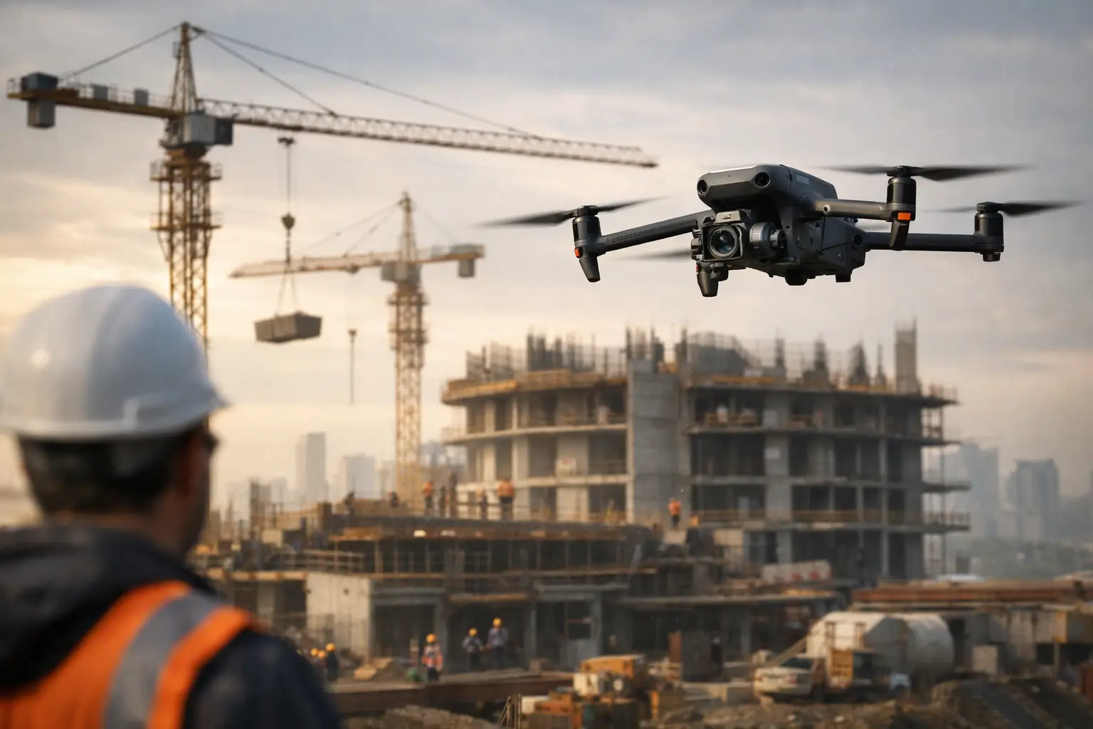
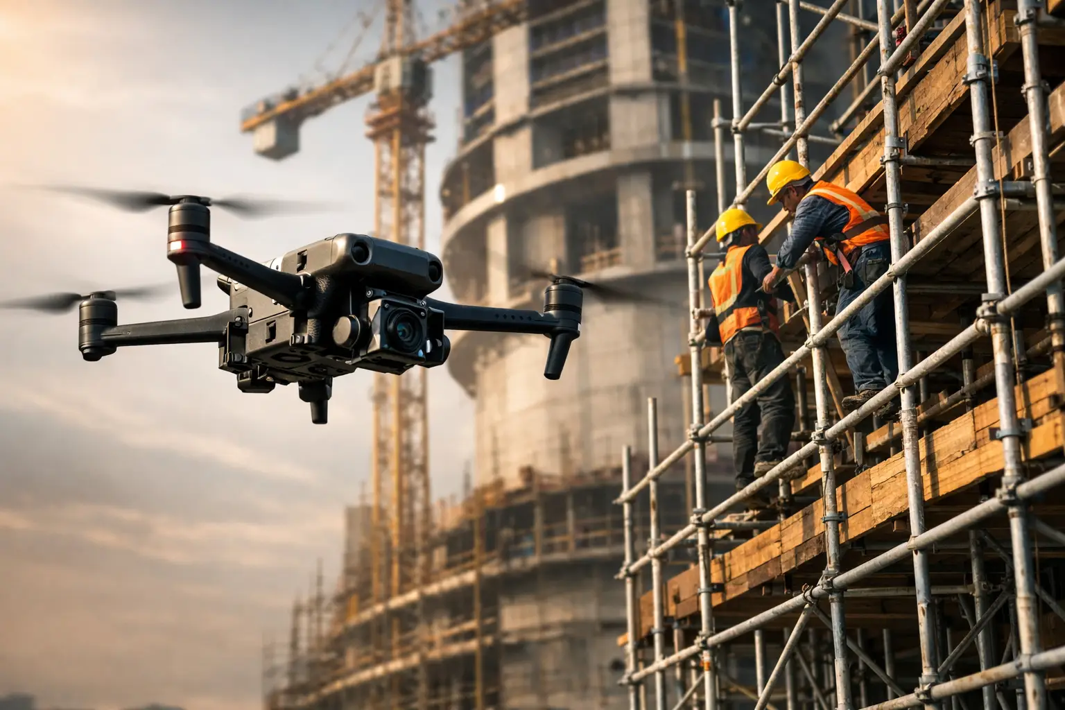
On active construction projects, recurring flights can document concrete placement progress, façade installation, structural changes, and conditions that may later be concealed. The repeatability is important. When flights use similar viewpoints and capture standards, comparisons are more meaningful than a collection of unrelated site photographs.
Limits That Need to Be Planned Around
Drone inspections have real limits, and credible results depend on acknowledging them early. Concrete defects hidden behind cladding, insulation, heavy contamination, vegetation, piping, or equipment cannot be documented until the obstruction is addressed. Interiors, confined spaces, GPS-denied locations, and areas with electromagnetic or operational constraints may require specialized planning or another inspection method.
Weather also affects results. Wind can limit close-proximity flight and image sharpness. Rain changes surface appearance and can reduce the usefulness of visual and thermal observations. Harsh midday sun can create deep shadows, while low-angle light may either reveal surface texture or obscure important details depending on the orientation of the asset.
Site coordination is equally important. Industrial facilities, utilities, and critical infrastructure assets may have operating restrictions, controlled areas, and safety procedures that influence where and when a drone can fly. A professional operation accounts for airspace, FAA requirements, site authorization, hazard controls, communication with facility personnel, and contingency planning before collection begins.
A Practical Workflow for Reliable Results
Reliable concrete-condition data starts with a defined objective. The owner, engineering team, or facility representative should identify the asset, the surfaces of concern, the defect types being considered, and the decisions the data will support. A mission intended to locate active water intrusion may be scheduled and equipped differently from one intended to create a baseline visual record before a shutdown.
The field team then plans image distance, overlap, camera angles, lighting windows, thermal collection conditions if applicable, and safe flight paths. Close-up detail, broad context imagery, and repeatable reference views should all be part of the collection plan. The result should be organized so a reviewer can understand not only what was found, but where it was found.
After collection, images and data should be reviewed for coverage, focus, and usable detail before personnel leave the site. Findings can then be labeled by location and condition type, supported by overview views, close-ups, maps, or models as appropriate. This is the stage where Air Reel Technologies provides practical inspection support: disciplined aerial collection and clear visual documentation that gives client teams usable information for the next decision.
For high-value or high-risk assets, the best approach is often phased. Use drone data to screen and document the full exterior, have qualified engineering or maintenance personnel assess the findings, then direct hands-on access only to areas that need confirmation or repair. That approach does not eliminate close inspection. It makes close inspection more targeted, safer, and easier to justify.
The most useful question is not whether a drone can replace every concrete inspection method. It is whether better aerial visibility can help your team send people to the right place, with the right information, at the right time. For many complex structures, that is where the operational value begins.