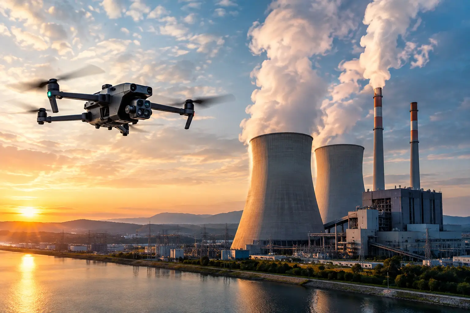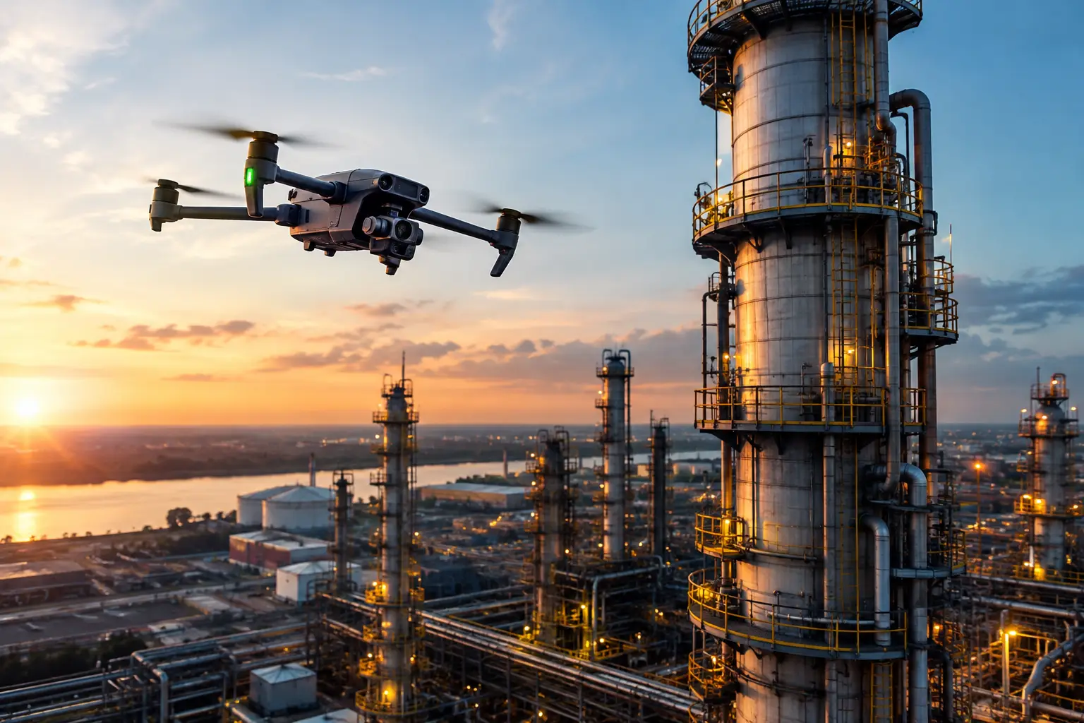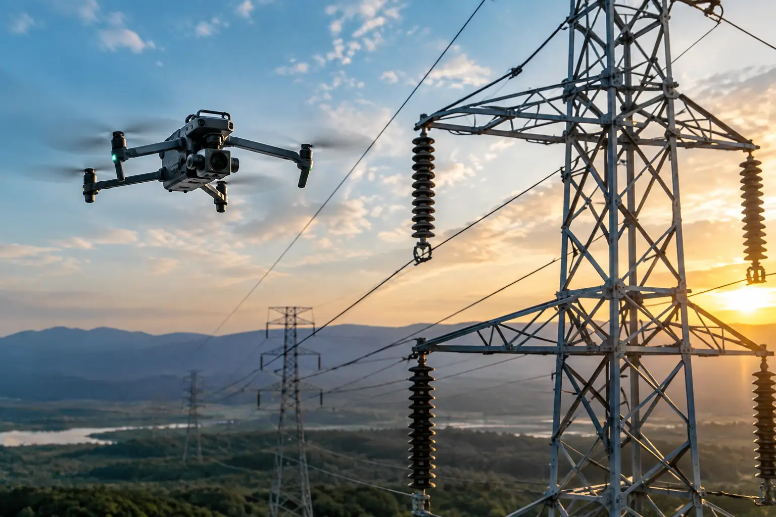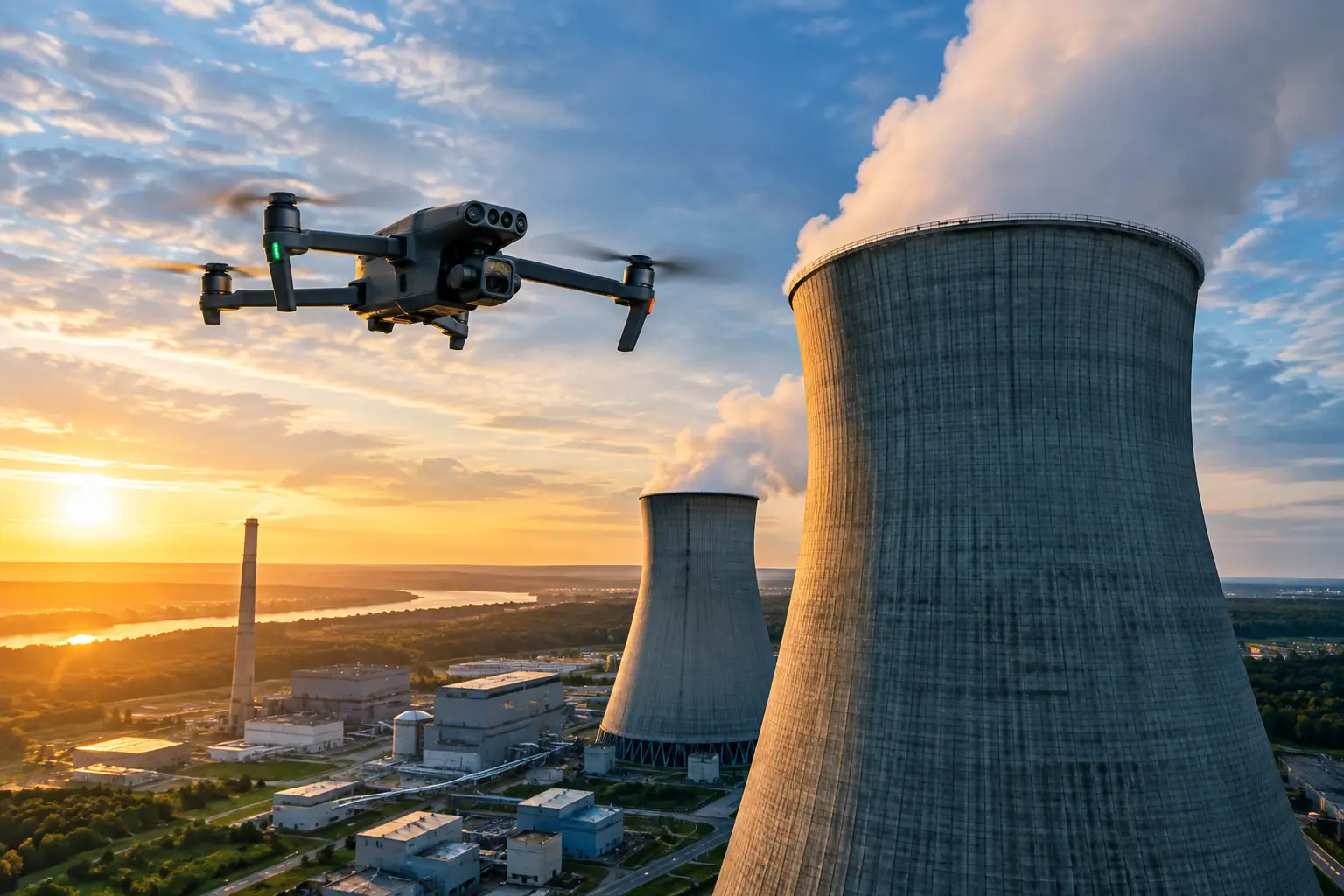
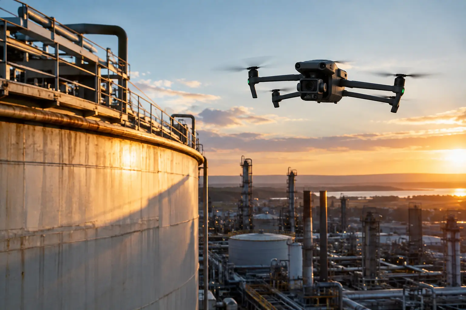
A model is only useful if it answers the engineering question behind the flight. For teams evaluating the best aerial models for engineers, the right choice is rarely the most visually impressive deliverable. It is the model that gives project managers, designers, inspectors, and owners usable context without adding unnecessary field exposure, site disruption, or processing time.
A high-resolution image set may be enough to document roof conditions after a storm. A construction team tracking earthwork may need an orthomosaic tied to known control. A facility team assessing access constraints around a cooling tower may benefit more from a textured 3D model than from hundreds of individual photographs. The intended decision should drive the aerial data plan from the start.
Start With the Decision, Not the Deliverable
Engineering teams often ask for a “3D drone model” when they are really trying to solve one of several different problems: measure quantities, compare progress, identify visible defects, plan access, document conditions, or communicate a site condition to people who cannot be onsite.
Those needs require different capture methods and different levels of accuracy. A broad, fast site map can support weekly progress monitoring but may not be suitable for precise measurement. A close-range model of a vertical industrial asset can reveal geometry and surface conditions, but its usefulness depends on line of sight, lighting, access restrictions, and the degree of detail needed.
The first question should be simple: What decision will this data support? The second is equally important: What level of positional and visual accuracy does that decision require? Without those answers, a model can look polished while failing to fit the workflow.
The Best Aerial Models for Engineers by Use Case
There is no single best format for every asset. The strongest projects combine the right model with a disciplined capture plan, clear deliverables, and realistic limits on what aerial imagery can establish.
Orthomosaic maps for sitewide documentation
An orthomosaic is a geometrically corrected aerial image map assembled from many overlapping photographs. It provides a top-down view of a site at a consistent scale, making it valuable for construction progress documentation, site logistics, stockpile visibility, roof-area review, and general condition records.
For civil construction and large commercial projects, orthomosaics give stakeholders a common visual reference. Superintendents can identify staging changes, access routes, material placement, and visible work completed between reporting periods. Engineering and owner teams can compare the same areas over time instead of relying on disconnected jobsite photos.
Their limitation is perspective. Orthomosaics work best for horizontal or gently sloped surfaces. They are less effective for façades, tower structures, pipe racks, and other vertical features. Measurement use also depends on proper mission planning, adequate image overlap, and suitable control when higher positional confidence is required.
3D textured models for complex structures
Textured 3D models combine geometry with photographic surface detail. They are often the most practical aerial model for communicating the condition and layout of complex assets such as industrial rooftops, cooling towers, cell towers, transmission structures, building exteriors, and construction façades.
A good 3D model allows engineering teams to examine areas from multiple angles, understand relationships between components, and plan follow-up work with more context than a flat image can provide. This is particularly useful when ground access is limited or when manual inspection would require lifts, rope access, shutdown coordination, or extended time in elevated work areas.
The trade-off is that complex geometry demands more careful capture. Recesses, shadowed surfaces, reflective metal, repetitive patterns, and tight clearances can create gaps or distortions. A model may document visible conditions very effectively without representing every concealed surface. It should support an inspection or engineering review, not be presented as a structural certification.
Point clouds for geometry and coordination
A point cloud represents an asset or site as a dense collection of measured points in three-dimensional space. For engineers working with design coordination, volumetric analysis, terrain, or existing-condition documentation, point clouds can provide a flexible basis for further review in CAD, GIS, or modeling workflows.
Photogrammetry-derived point clouds can be well suited to large sites and accessible exterior assets when capture conditions are appropriate. They can help teams understand grades, stockpiles, drainage patterns, building form, and the spatial relationship of visible infrastructure. In the right conditions, they also support comparisons between current conditions and design information.
However, point clouds should not be selected simply because they sound more technical. Dense data does not automatically mean survey-grade accuracy. Vegetation, water, glass, shadow, limited viewing angles, and poor control can affect the result. If a project requires formal survey control, design staking, or tolerance-critical measurements, the aerial workflow should be coordinated with qualified survey professionals and the project’s required standards.
Digital surface and terrain models for earthwork
Digital surface models capture elevations of visible surfaces, including structures, equipment, vegetation, and ground features. Digital terrain models aim to represent bare-earth terrain after filtering above-ground objects. Both can support planning and documentation for grading, drainage, haul routes, erosion control, and earthwork review.
The distinction matters. A surface model can be useful for understanding overall site conditions, but it may not represent the true ground beneath vegetation or stockpiled material. A terrain model requires appropriate data, processing, and validation to be dependable for the intended purpose.
For construction teams, the practical value often comes from repeatability. Capturing comparable site data at defined project milestones makes it easier to observe change, flag areas needing field verification, and keep owners informed without relying solely on written updates.
Thermal overlays for targeted anomaly review
Thermal imaging is not a geometric model in the same sense as a point cloud or orthomosaic, but it can be a valuable layer in an engineering documentation package. Thermal data may help identify temperature differences across roofing systems, electrical equipment, process components, building envelopes, or utility infrastructure.
The key word is “may.” A thermal variation can indicate an area worth investigating, but it does not diagnose the cause on its own. Material emissivity, reflected temperature, weather, load conditions, time of day, and viewing angle all influence thermal results. The most useful thermal deliverables pair radiometric imagery with visible-light context, clear capture conditions, and location references that allow a qualified team to evaluate the finding.
Capture Planning Determines Model Quality
Even the right model type will underperform if the flight plan is generic. Industrial and infrastructure projects require planning around the asset, the required coverage, the operating environment, and the decisions the client needs to make.
For site mapping, that may mean consistent altitude, image overlap, ground control, and repeatable flight boundaries. For a tower, façade, or containment structure, it may mean multiple elevations, oblique imagery, deliberate coverage of transitions and attachments, and a safe standoff distance. For thermal work, it means capturing under conditions that make the data relevant rather than merely collecting heat-colored images.
Flight execution also needs to account for active operations, weather, airspace requirements, crew coordination, and site-specific safety procedures. On critical infrastructure and industrial facilities, the field plan matters as much as the software used to process the images.
Accuracy Should Be Stated Clearly
Aerial models are valuable because they can reduce exposure, accelerate documentation, and extend visibility across large or difficult assets. Their value declines when accuracy is assumed rather than defined.
A project team should specify whether the output is intended for visual reference, planning-level measurement, progress tracking, engineering coordination, or a survey-controlled application. Each use carries different requirements for control, validation, capture density, metadata, and quality review.
Clear labeling protects everyone involved. If a model is intended as visual documentation, say so. If measurements are derived from controlled imagery, describe the control method and expected accuracy range. If conditions limit coverage, record those limitations rather than concealing them behind a polished model.
Build Deliverables Around the Workflow
The best aerial data package is usually not one file. A construction manager may need a current orthomosaic, selected progress imagery, and a simple comparison to the prior reporting period. An engineering team reviewing an industrial asset may need a navigable 3D model, high-resolution closeups of specific areas, and a location index for follow-up observations.
For insurance and catastrophe documentation, date-stamped imagery, broad area context, and organized views of affected elevations can be more useful than an elaborate model that takes too long to interpret. For utilities and transmission infrastructure, a targeted set of visual and thermal deliverables may better support maintenance planning than a full-site reconstruction.
Air Reel Technologies plans aerial capture around those operational outcomes, with FAA Part 107-certified field execution and deliverables designed to support engineering, inspection, maintenance, and project-management teams.
The strongest aerial model is the one that makes the next decision clearer. Before approving a flight, define what must be seen, measured, compared, or documented – then select the model and capture method that can support that work with appropriate accuracy and field discipline.