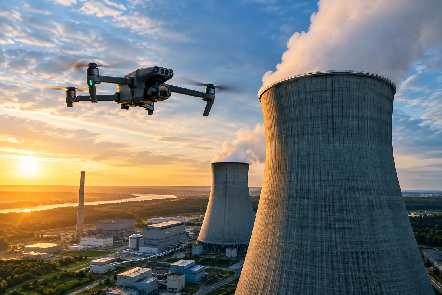
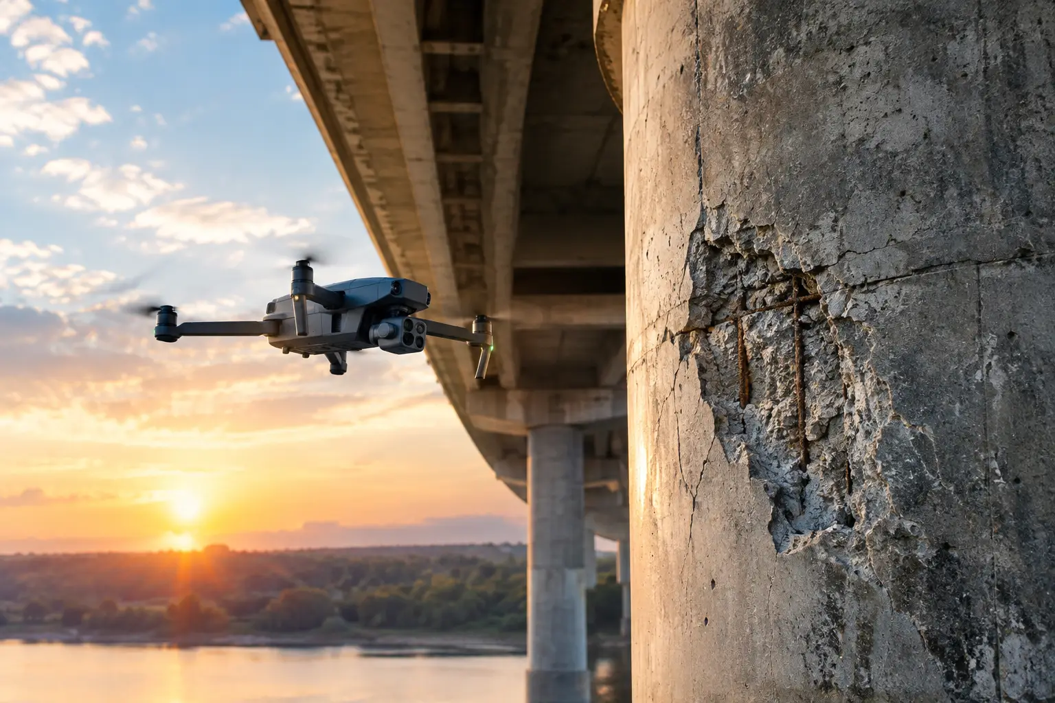
Concrete spalling rarely begins as a dramatic failure. It often appears first as small areas of cracking, surface loss, discoloration, exposed reinforcement, or loose material in places that are difficult to reach. Teams that need to assess concrete spalling aerially can document those early warning signs across elevated or hazardous assets without immediately sending personnel onto lifts, scaffolding, rope systems, or restricted structures.
For facility managers, engineers, owners, and maintenance teams, the objective is not simply to collect pictures. The objective is to create a clear, repeatable visual record that helps the right people determine where deterioration is occurring, how conditions are changing, and where close-up engineering review or repair planning is warranted.
Why aerial concrete spalling assessment matters
Spalling occurs when sections of concrete break, flake, or detach from a surface. The underlying causes can vary. Moisture intrusion, reinforcing steel corrosion, freeze-thaw exposure, chemical attack, inadequate cover, impact damage, heat exposure, and aging can all contribute. On industrial and infrastructure assets, the visible damage may be located on a cooling tower shell, containment structure, elevated facade, bridge component, stack, tank foundation, parking structure, or other hard-to-access concrete surface.
Traditional inspection access can be slow to arrange and disruptive to operations. A lift may not reach the area safely. Scaffolding can take days to install. Rope access may require specialized crews, permits, shutdown coordination, and a detailed site safety plan. Those methods still have an important role when hands-on testing, sounding, measurements, or repair work is required. But aerial documentation can help teams identify and prioritize locations before committing to higher-cost access methods.
A properly planned aerial inspection also creates a record that can be compared over time. That matters when maintenance teams need to distinguish a recent surface loss from a condition that has remained stable since the prior inspection cycle.
How to assess concrete spalling aerially with useful data
A productive aerial assessment starts before the aircraft is launched. The inspection team should understand the asset, the known areas of concern, site hazards, operating conditions, and the decisions the imagery must support. A general exterior survey requires a different flight plan than a targeted review of active deterioration around joints, penetrations, or high-moisture zones.
Define the inspection objective first
The scope should identify whether the priority is baseline documentation, post-storm damage review, maintenance planning, construction quality documentation, insurance support, or condition monitoring. The desired outcome determines image coverage, camera angles, resolution requirements, and whether mapping or 3D modeling is appropriate.
For example, a plant operator may need detailed visual documentation of a specific elevated wall section before planning access. An engineering team may need consistent, overlapping coverage of an entire concrete exterior to compare deterioration patterns. An insurance team may need time-stamped imagery that clearly records damage following a weather event or equipment incident.
Clear objectives prevent a common problem: collecting a large volume of aerial imagery that looks impressive but does not answer an operational question.
Capture both context and close detail
Spalling must be viewed in context. A close image may show exposed reinforcement or missing concrete, but a wider image can show its location relative to an expansion joint, drainage path, structural transition, pipe penetration, or previous repair area.
A disciplined aerial workflow captures both. Wider passes establish the asset geometry and location of each concern. Closer, stable images document surface characteristics such as cracking, delamination indicators, rust staining, efflorescence, apparent moisture paths, exposed aggregate, exposed reinforcing steel, and the approximate extent of material loss.
Image quality is critical. Motion blur, poor focus, extreme shadows, and excessive distance can make a condition difficult to interpret. Flights should be scheduled with lighting, wind, weather, and facility operations in mind. On large curved structures or tall vertical surfaces, camera angle and stand-off distance must be managed carefully so imagery remains useful without compromising safe operations.
Organize findings by location and severity
Aerial imagery becomes more valuable when it is organized into an inspection record instead of delivered as an unstructured folder of files. Each observed area should be tied to a recognizable asset location, such as elevation, gridline, quadrant, bay, wall face, or equipment reference point.
The documentation can then support a practical triage process. Areas with loose or missing material, exposed steel, active rust staining, visible cracking around a spall, or deterioration near a high-consequence operating zone may warrant faster review. Locations showing minor surface wear may be logged for monitoring during the next inspection interval.
A drone operator should not diagnose structural capacity or issue an engineering conclusion from imagery alone. The appropriate role of aerial inspection is to provide clear visual evidence that supports engineers, qualified inspectors, maintenance teams, and claims professionals as they determine next steps.
What aerial imagery can and cannot tell you
High-resolution aerial imagery is well suited to documenting visible surface conditions. It can reveal where spalls are located, show approximate dimensions through known references or model-based context, record associated cracking and staining, and identify patterns across broad exterior areas. It is especially useful when a condition is elevated, over water, above active equipment, or otherwise unsafe to approach routinely.
Thermal imaging may provide additional context in certain conditions, such as potential moisture differences or thermal anomalies near suspected deterioration. It is not a stand-alone method for confirming delamination, rebar corrosion, or the depth of a concrete defect. Environmental conditions, surface temperature, solar loading, and material properties can all affect thermal results.
Likewise, 3D models and orthomosaic-style outputs can improve location awareness and help teams track broad changes. Their accuracy depends on the flight plan, control methods, surface geometry, and operating environment. They should be selected because they serve the inspection objective, not because every project needs the same deliverable.
Aerial data cannot replace hands-on inspection where sounding, cover-meter testing, corrosion evaluation, material sampling, load assessment, or repair verification is required. It can reduce the amount of hands-on access needed for initial screening and make that access more targeted.
Planning for complex and high-risk environments
Concrete assets in industrial and critical infrastructure settings present constraints that go beyond flight time. Active operations, electromagnetic interference, confined areas, overhead lines, cranes, vapor plumes, heat sources, restricted access zones, and changing weather conditions all affect mission planning.
A qualified provider should coordinate with site contacts, review operating restrictions, establish takeoff and recovery areas, identify exclusion zones, and maintain communication procedures before work begins. FAA Part 107 compliance, appropriate insurance coverage, and experienced field operations are baseline requirements for commercial aerial work, especially where assets are high value and operational disruptions are costly.
For a cooling tower, the team may need to account for airflow, mist, curved geometry, and limited safe positioning. At a power facility or industrial plant, flight operations may need to work around active equipment, access controls, and site-specific safety procedures. On a construction project, the condition may need to be documented without interfering with cranes, crews, or scheduled concrete work.
The right workflow is never a generic flight around a structure. It is a controlled data-collection mission built around the asset, the risk, and the decision that follows.
Build a repeatable monitoring record
One aerial inspection provides a snapshot. Repeat inspections create a condition history. When imaging is captured from similar locations, angles, and distances at scheduled intervals, teams can compare the same areas and identify visible changes such as expansion of a spall, new cracking, increased staining, failed patch material, or new exposure of reinforcing steel.
Consistency is more valuable than visual drama. A repeatable naming convention, location references, date-stamped imagery, annotated findings, and retained flight documentation allow maintenance and engineering teams to use the information months or years later. This approach is particularly useful for assets with recurring moisture exposure, seasonal freeze-thaw risk, or known repair histories.
Air Reel Technologies supports this type of disciplined aerial documentation for commercial, industrial, and infrastructure environments where access, safety, and dependable data all matter. The focus is on delivering inspection-ready visual intelligence that fits into the client’s maintenance, engineering, operations, or claims workflow.
When aerial assessment should lead to closer inspection
Visible spalling near structural connections, areas of exposed reinforcement, repeated deterioration around previous repairs, falling-material hazards, and conditions affecting occupied or active work zones should be escalated promptly to the responsible facility and engineering teams. The aerial record can help them prioritize access and communicate the exact area of concern to contractors or inspectors.
The strongest value of aerial assessment is often found in the handoff. Clear imagery, precise location references, and organized documentation allow the next team to arrive prepared rather than spending time searching for a condition on a large or difficult structure.
When concrete deterioration is hard to reach, the first question should not be how to get a person to every surface. It should be how to obtain safe, reliable visual evidence that directs people only where their expertise is needed most.