When a project slips, a claim surfaces, or a site condition changes faster than the reporting cycle, bad documentation becomes expensive. That is where aerial site documentation services earn their place. For construction teams, facility operators, utilities, and infrastructure owners, the value is not the drone itself. The value is having a clear, repeatable visual record that supports decisions before delays, disputes, and safety exposure grow.
Too often, site documentation is still built around scattered phone photos, handwritten notes, and partial walk-throughs that depend on who happened to be on site that day. That approach may work on a small job. It breaks down fast on large commercial sites, active industrial facilities, utility corridors, and high-risk assets where conditions change weekly or even daily.
What aerial site documentation services actually provide
At a professional level, aerial site documentation services are not just overhead photos. They are structured data capture missions designed to document conditions consistently over time. Depending on the site and the client need, that can include high-resolution imagery, orthomosaic maps, 3D models, thermal imagery, and targeted visual records of work progress, access routes, materials staging, roof conditions, storm damage, or exposed infrastructure components.
The key difference is repeatability. When flights follow a defined capture plan, project teams can compare one date against another with far more confidence than they can with ad hoc site photography. That matters when a superintendent is tracking progress, an owner is reviewing schedule performance, an engineer needs context around a field condition, or an insurance team is evaluating pre-loss and post-loss documentation.
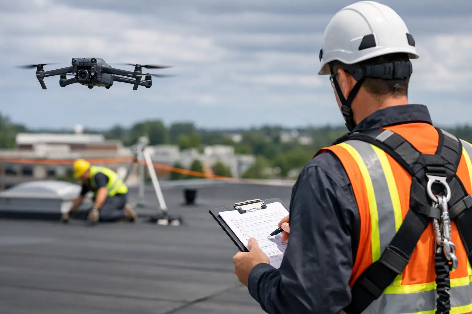
This is also why professional execution matters. On an active site, useful documentation depends on more than a pilot showing up with equipment. It depends on airspace awareness, site coordination, safety planning, proper image capture, and deliverables that fit how construction, operations, and claims teams actually work.
Where aerial site documentation services create the most value
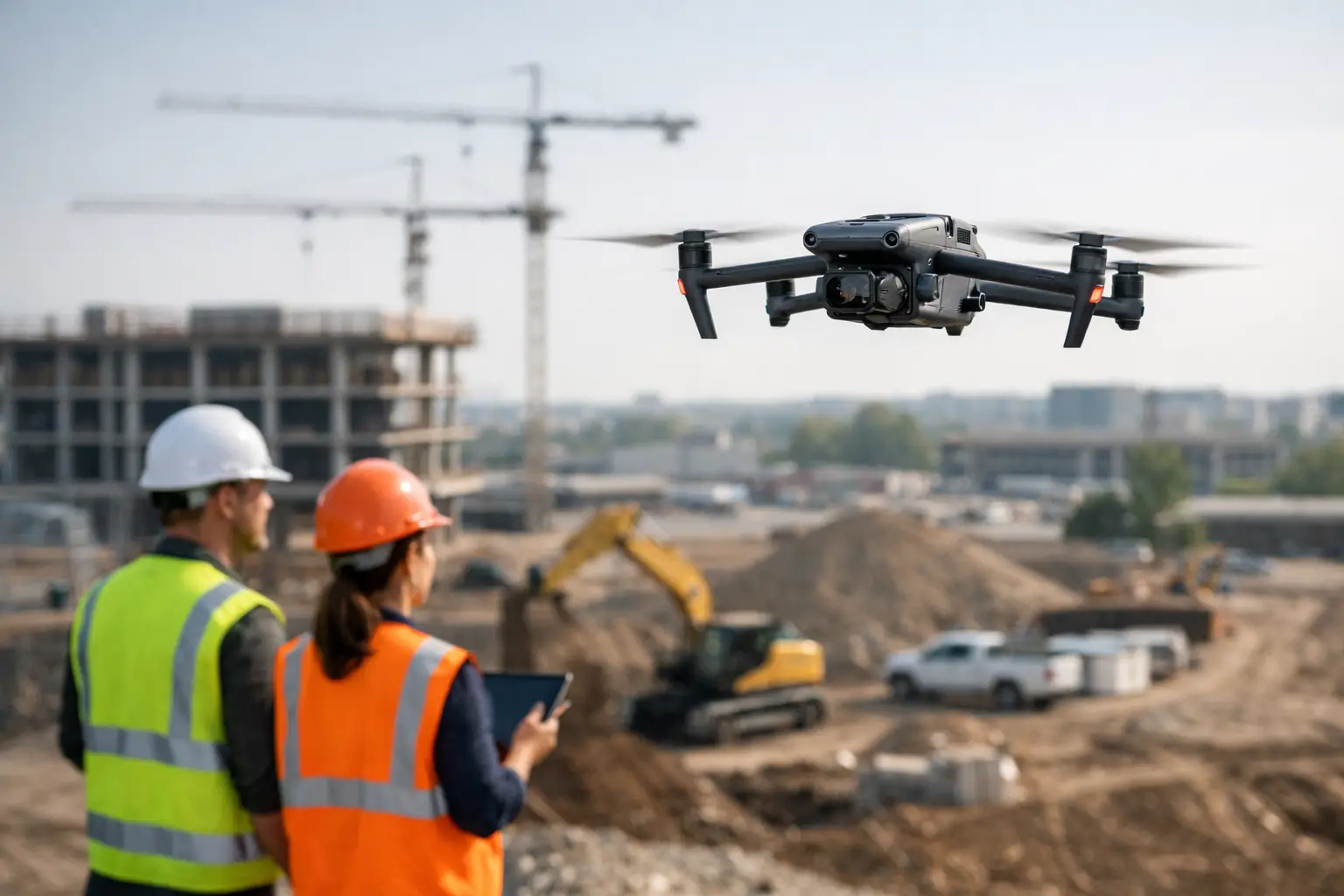
Construction is the most obvious use case, but it is far from the only one. On large builds, aerial documentation helps project managers and stakeholders maintain a current visual record of grading, utilities, steel progress, roofing, equipment placement, access conditions, and overall site development. It can support owner updates, lender reporting, schedule reviews, and dispute resolution when questions arise about sequence, completion status, or field conditions on a given date.
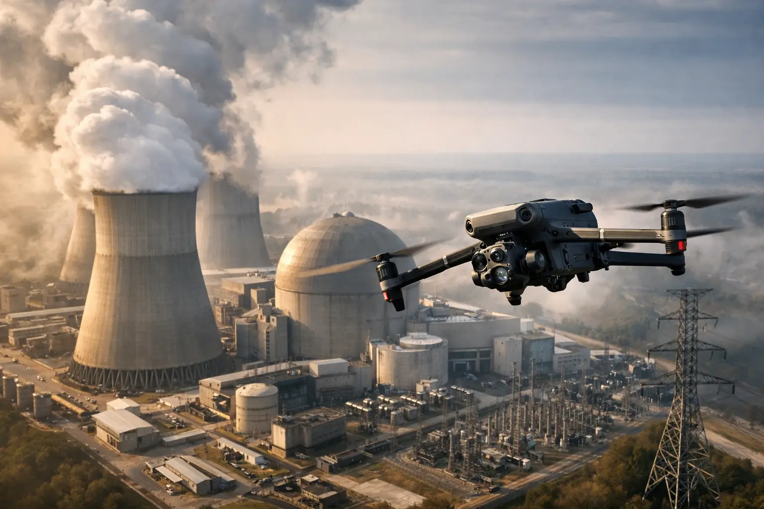
For industrial facilities, the value often shifts from progress tracking to condition documentation. Plants, substations, industrial rooftops, cooling towers, and similar assets can be difficult to document from the ground without interrupting operations or exposing personnel to unnecessary risk. Aerial capture gives operations and maintenance teams a broader visual perspective while limiting the need for ladders, lifts, and repetitive manual walks in hard-to-access areas.
Utility and telecom environments benefit for similar reasons. Transmission corridors, towers, substations, and communications assets stretch across large footprints and often involve terrain, elevation, or restricted access concerns. Aerial records help teams document asset conditions, storm impacts, vegetation encroachment, access routes, and site changes in a format that is easier to review and share.
Insurance and catastrophe response is another area where speed matters. After a storm or site incident, decision-makers need documented conditions quickly. That includes roof damage, water intrusion indicators, debris fields, perimeter impacts, equipment exposure, and broader site context. In those moments, delays in documentation can complicate claims, triage, and repair planning.
Why ground-level documentation is often not enough
Ground photos still matter. They provide close-range detail and support field reporting. But they rarely tell the whole story on complex properties. A crew member standing at grade can only capture what is visible from that point, at that moment, from that angle. Large sites introduce blind spots. Elevated structures create access issues. Long linear assets make full coverage time-consuming.
Aerial documentation closes those gaps. It shows spatial relationships that are difficult to understand from ground images alone, such as drainage patterns, staging congestion, material laydown changes, roof membrane areas, scaffold placement, or the progression of work across multiple structures. That broader context helps teams identify what needs a closer look and where conditions may be affecting schedule, safety, or operations.
That said, it is not an all-or-nothing choice. The strongest documentation programs usually combine aerial capture with ground observations, field notes, and discipline-specific inspections. The drone supports the workflow. It does not replace engineering judgment, maintenance expertise, or formal inspection authority.
What good documentation looks like in practice
Useful aerial documentation is organized around the decisions it needs to support. If the goal is monthly progress tracking, consistency is everything. Flights should be conducted from comparable positions and altitudes so changes are easy to evaluate over time. If the goal is damage assessment, the mission should capture both broad site context and targeted areas of concern so teams can move from overview to detail without guessing.
Deliverables should also match the audience. Executives may want clear progress visuals. Project managers may need dated imagery tied to site sectors or milestones. Engineers may need orthomosaic maps or 3D models that provide measurable context. Insurance teams may need time-stamped visual documentation that helps support claim review and loss assessment workflows.
This is where many providers fall short. They deliver attractive imagery, but not usable records. For serious commercial and industrial clients, the standard is different. Files need to be clear, organized, and suitable for project records, stakeholder communication, and operational review.
Safety, compliance, and field discipline matter as much as the imagery
On a mission-critical site, documentation quality is only part of the job. The field operation has to be sound. Active construction zones, industrial facilities, and infrastructure environments introduce hazards, access controls, and coordination requirements that are not present on simple real estate flights or basic media work.
A professional provider should operate with FAA Part 107 compliance, appropriate insurance coverage, and a clear understanding of site-specific restrictions and hazards. Just as important, the team should know how to work around active crews, coordinate with site contacts, and capture needed data without creating avoidable disruption.
That discipline becomes even more important in post-storm conditions or degraded operating environments. Rapid deployment is valuable, but not if it produces inconsistent results or unnecessary exposure. For organizations managing high-value assets, dependable field execution is part of the deliverable.
Choosing aerial site documentation services for a complex operation
Not every provider is built for industrial or infrastructure work. If your site involves multiple structures, elevated assets, regulated operations, or difficult access conditions, ask practical questions. Can the provider produce repeatable documentation on a schedule? Do they understand mapping, progress capture, and inspection support, not just basic photography? Are they insured, certified, and prepared to work within established site protocols?
It is also worth asking how the deliverables will be handed off. Raw images alone may not help much if your team needs orthomosaics, organized condition records, or visual documentation that can be used in meetings, claims files, or maintenance planning. The right fit depends on the job. A monthly construction progress program looks different from a one-time storm assessment or a recurring facility documentation schedule.
For organizations operating in Georgia, Alabama, South Carolina, or Tennessee, local responsiveness can also matter. Regional weather patterns, storm response demands, and travel logistics affect how quickly a team can mobilize when conditions change.
When aerial documentation pays for itself
The return is usually not found in one dramatic moment. It shows up in avoided confusion, faster reporting, fewer repeat site visits, and better alignment between field conditions and office decisions. When teams can verify progress visually, review conditions remotely, and maintain a time-stamped project record, they spend less time chasing answers.
That has practical value across the life of an asset. During construction, it supports schedule and stakeholder visibility. During operations, it improves condition awareness. After a storm or incident, it gives teams a structured visual baseline to work from. In each case, the common thread is the same: clearer information, gathered safely, with less disruption.
For companies responsible for commercial projects, industrial plants, utility systems, or critical infrastructure, that is the point of aerial site documentation services. Not spectacle. Not generic footage. Just accurate visual intelligence collected with the discipline the job requires.
When the site is large, the risk is real, and the record needs to hold up, better documentation is not a nice extra. It is part of running the operation well.