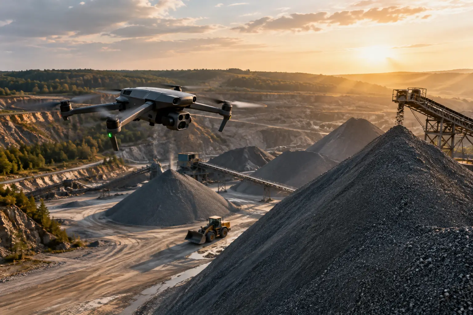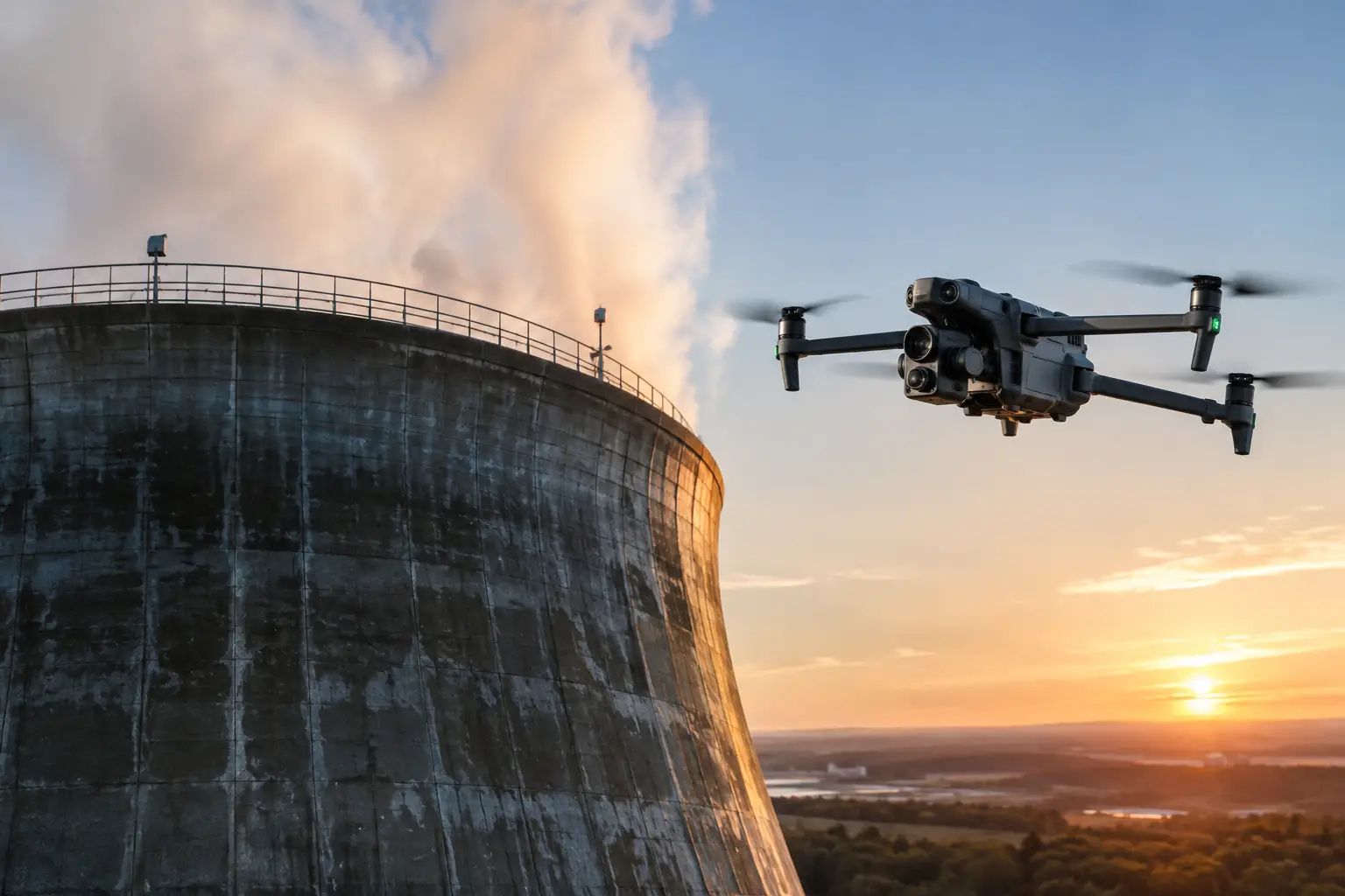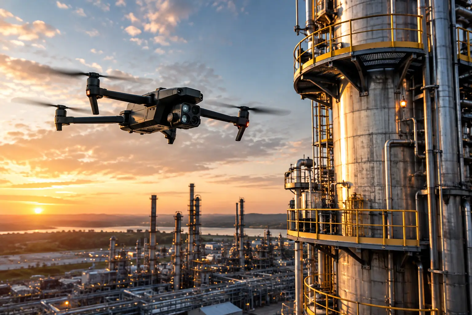
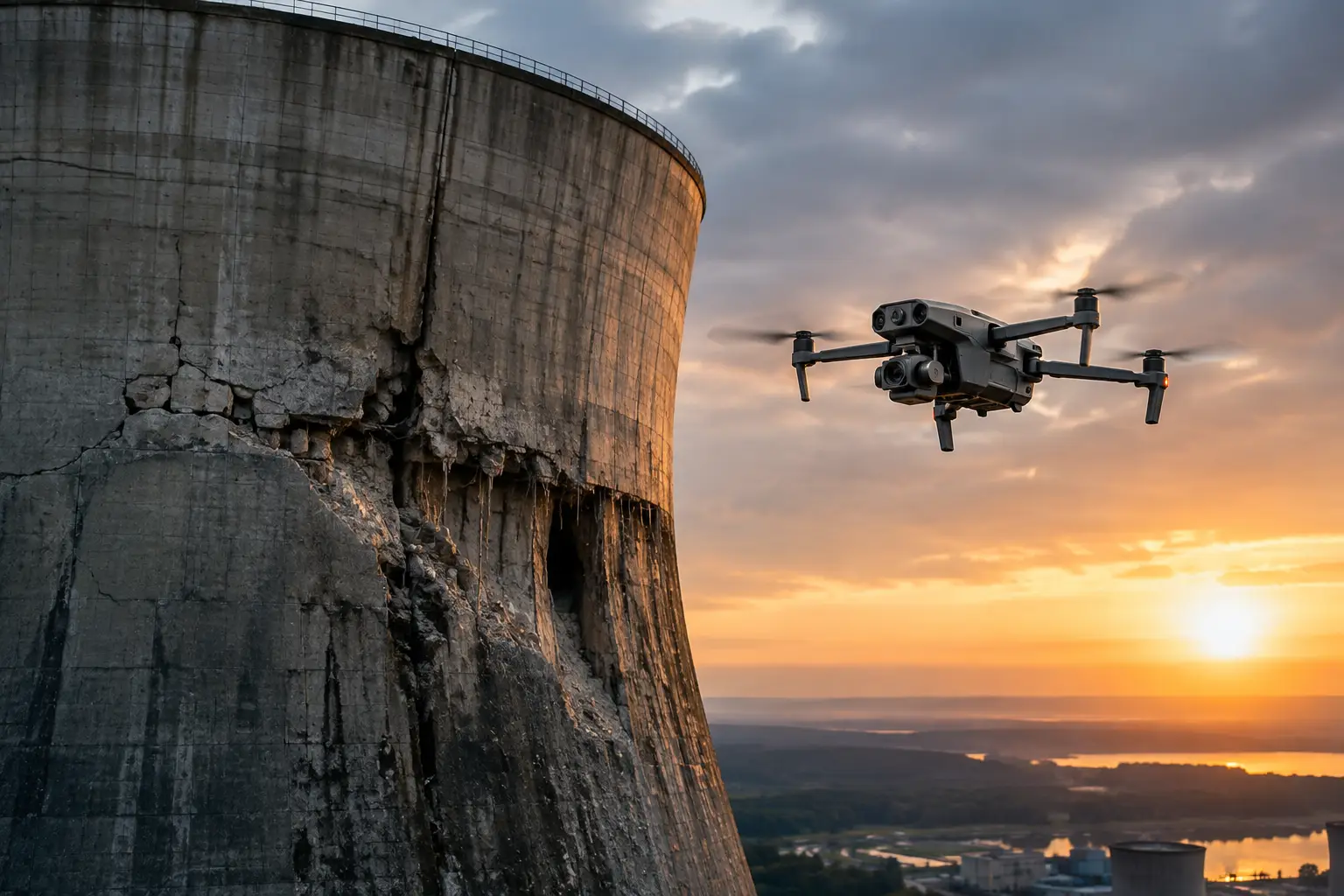
The first hours after a storm often determine how well an organization can defend a claim, prioritize repairs, and keep work moving. Knowing how to document storm damage means creating a clear record before debris is removed, temporary repairs obscure conditions, or weather changes the evidence. For commercial and industrial assets, a few unorganized photos rarely provide enough context. The goal is a disciplined visual record that shows what happened, where it happened, when it was observed, and how it affects operations.
Start With Safety and Site Control
Documentation begins after the site is safe to enter. Downed conductors, unstable roofing, flooded electrical equipment, damaged structures, standing water, and active weather can turn a routine walkthrough into a serious exposure. Establish site access controls, confirm hazards with qualified site personnel, and coordinate with utility, safety, and emergency response teams as needed.
Do not send employees onto a roof, up a tower, near energized infrastructure, or into an unstable area simply to get better photographs. Aerial collection can reduce the need for personnel to access exposed locations while providing broad coverage of rooftops, transmission assets, construction sites, and industrial facilities. It supports inspection and claims teams with visual data, but it does not replace engineering evaluation, electrical clearance procedures, or structural certification.
Before collection begins, identify the asset boundaries and the purpose of the record. An insurance carrier may need evidence of cause and extent of loss. A facility manager may need a repair-priority record. A construction team may need to establish current site conditions, protect schedule records, and identify materials or equipment at risk. These objectives overlap, but they should shape the capture plan.
Preserve the Scene Before Cleanup Changes It
Cleanup is necessary, especially where access, safety, or operations are affected. But once branches are removed, roof coverings are patched, or equipment is moved, the original condition may be difficult to establish. Capture the broad scene first, then move toward specific damage areas.
Begin with wide images that establish the property, facility, corridor, or project site in its overall setting. Include access roads, drainage areas, neighboring structures where relevant, laydown yards, perimeter fencing, and visible debris fields. These images help reviewers understand the storm path and scale of impact.
Next, document each affected asset from multiple angles. For example, a damaged industrial roof should be recorded from a site-wide perspective, then by roof section, then with close imagery of punctures, displaced membrane, lifted flashing, standing water, rooftop equipment, and debris. A substation or transmission corridor requires the same logic: establish the whole asset, identify the affected segment or component, then capture the condition in sufficient detail for follow-up.
Avoid altering the scene solely for a photograph. If emergency stabilization is required, record conditions before work begins when it is safe to do so. Then document the temporary repair itself. This creates a useful distinction between storm damage, mitigation actions, and permanent restoration work.
Build a Record That Can Be Located and Verified
A strong storm record is more than a folder of images. Every file should be traceable to a place, time, asset, and observation. Date and time metadata should remain intact. For large facilities or widespread events, assign a naming convention that ties each image set to a site, asset ID, area, and collection date.
A practical file name might identify the facility, the roof zone or structure number, the damage category, and the date. The exact convention matters less than consistent use. If several teams are documenting a regional event, agreed naming and storage rules prevent duplicated effort and make it easier for adjusters, engineers, contractors, and operations personnel to find the right record.
Location context is equally important. GPS-tagged imagery, annotated site maps, orthomosaic maps, and marked-up plan views can show precisely where damage was observed. This is particularly valuable on long linear assets such as pipelines, transmission corridors, rail-adjacent facilities, or large construction projects where a close-up image alone may not identify the affected location.
Keep an observation log alongside imagery. Record the collector, date and time, weather conditions, asset location, visible damage, access limitations, and any immediate operational concern. Use factual language. “Loose roof membrane visible along northwest parapet” is more useful than “roof destroyed.” The record should describe observed conditions without making conclusions outside the authority of the person documenting them.
Capture the Right Types of Evidence
Storm damage rarely appears in only one form. Wind may displace roofing and panels. Hail may dent metal surfaces or damage equipment housings. Flooding may affect access, foundations, drainage, electrical rooms, and stored materials. Lightning and power disturbances may require inspection of equipment that appears normal from the outside.
For complex claims and repair decisions, capture a combination of overview imagery, mid-range context, and close detail. Overview imagery establishes extent. Mid-range imagery connects a defect to a specific building elevation, tower section, or equipment area. Close imagery shows the condition itself. A complete set lets a reviewer move from the overall event to the individual issue without guessing.
Where conditions and project requirements support it, aerial mapping and 3D models can add operational value. Orthomosaic mapping can document broad roof fields, construction sites, debris distribution, access constraints, and drainage impacts. A 3D model can help teams visualize damage on difficult geometry such as towers, cooling structures, industrial rooftops, or complex exterior elevations.
Thermal imaging can also support targeted follow-up in some circumstances, particularly when teams are assessing moisture-related concerns, electrical anomalies, or building-envelope conditions. Thermal results depend on weather, surface condition, temperature differences, flight timing, and other variables. They should be interpreted as supporting data, not as a standalone finding of cause or structural condition.
Document Business Impact Alongside Physical Damage
Claims and recovery decisions involve more than visible damage. A storm may close an access route, interrupt a construction sequence, expose materials to water, force equipment relocation, or limit safe access to a critical asset. Record these conditions while they are current.
For construction sites, document affected work zones, incomplete assemblies, stored materials, temporary protection, equipment locations, and visible schedule constraints. Include dated views before, during, and after mitigation where possible. This creates a timeline that can support project management and help distinguish storm-related disruption from pre-existing conditions.
For utilities, telecom, and industrial facilities, note asset status and access restrictions in coordination with operations personnel. Visual documentation of debris, damaged enclosures, compromised access, and exterior conditions can help prioritize field work. It should not interfere with restoration activities or introduce new safety risks.
Use Aerial Documentation With a Defined Flight Plan
Aerial data collection is most effective when it follows a planned coverage pattern rather than an improvised flight. A qualified crew should understand site hazards, airspace requirements, facility rules, weather conditions, and the required deliverables before launch. For commercial and critical infrastructure environments, FAA Part 107 compliance, appropriate insurance coverage, and disciplined site coordination are baseline expectations.
The flight plan should define areas of interest, required angles, image overlap for mapping, altitude limits, exclusion areas, and any need for repeat collection. Repeatable flight paths are especially useful when documenting temporary repairs and recovery progress over days or weeks. They create comparable visual records instead of disconnected snapshots.
Aerial imagery is not always the right tool. Interior flooding, concealed electrical damage, and protected equipment may require ground-based documentation or inspection by qualified specialists. The strongest approach often combines aerial coverage for inaccessible or broad areas with ground imagery, maintenance records, weather reports, and professional assessments.
Protect the Integrity of the Documentation
Once collected, files need to be retained in an organized, secure system. Preserve original image files and metadata. If images are annotated, cropped, or included in a report, keep the originals separate from the edited versions. This protects the ability to verify dates, locations, and source material later.
Create a simple index that identifies each collection set, covered area, file range, and related notes. Share only the relevant deliverables with claims, engineering, operations, or repair teams, while maintaining controlled access to the source archive. For major losses, a documented chain of custody may be appropriate, particularly when several vendors, adjusters, or stakeholders are involved.
Make the Record Useful for the Next Decision
The value of storm documentation is measured by what it helps teams do next. A clear visual record can support emergency mitigation, claims preparation, repair scope development, contractor coordination, safety planning, and progress tracking. It can also establish a baseline for later inspections, when questions arise about whether a condition was present before or after the event.
For high-value assets and widespread losses, speed matters, but rushed collection creates gaps that are difficult to correct. Air Reel Technologies supports commercial, industrial, insurance, and infrastructure teams with professional aerial documentation designed for difficult sites and time-sensitive recovery work. The right record gives decision-makers a defensible view of conditions while the evidence is still visible and the next action still matters.