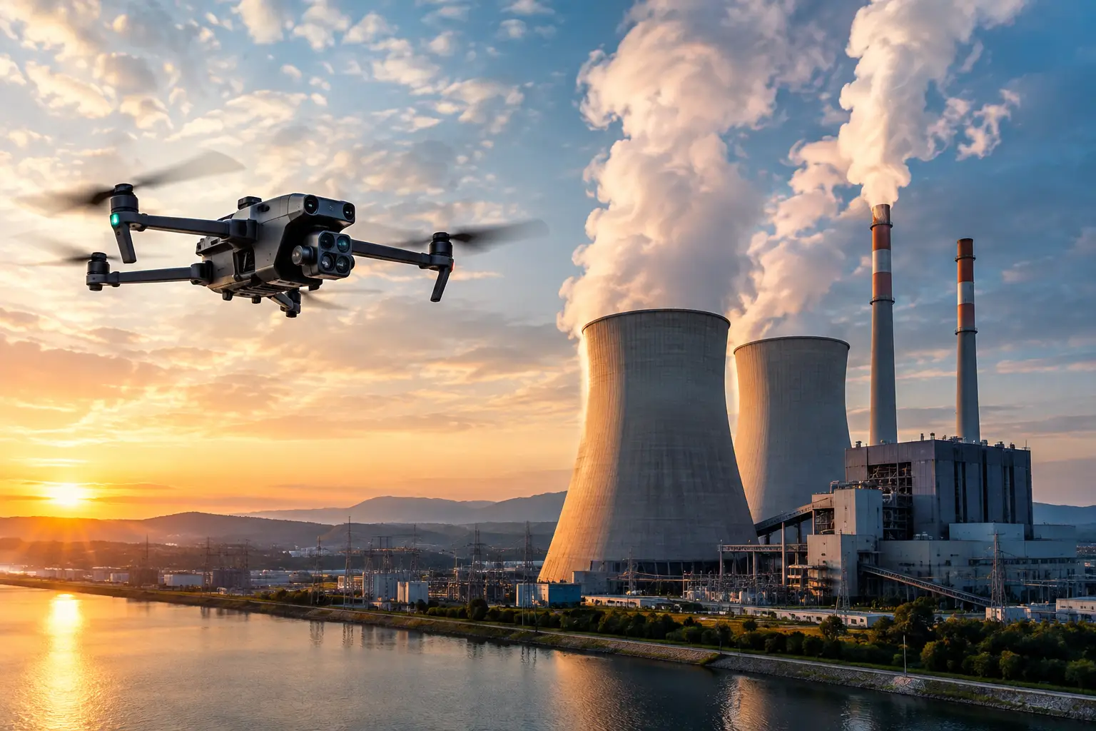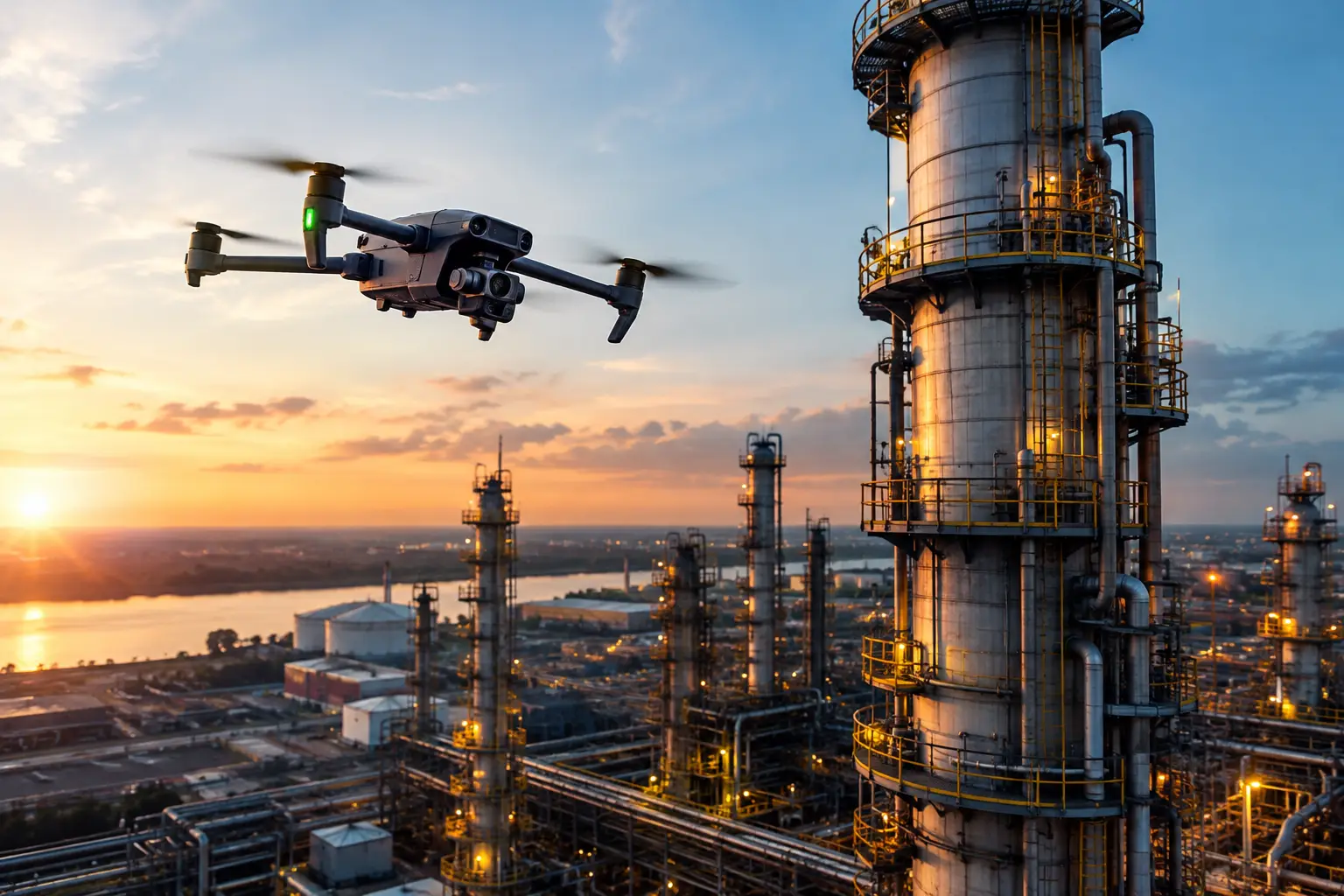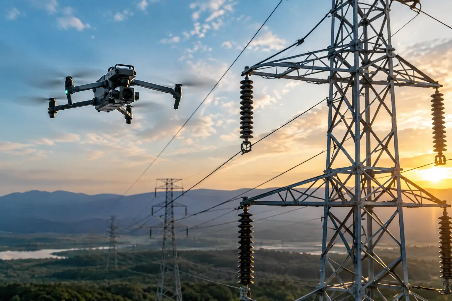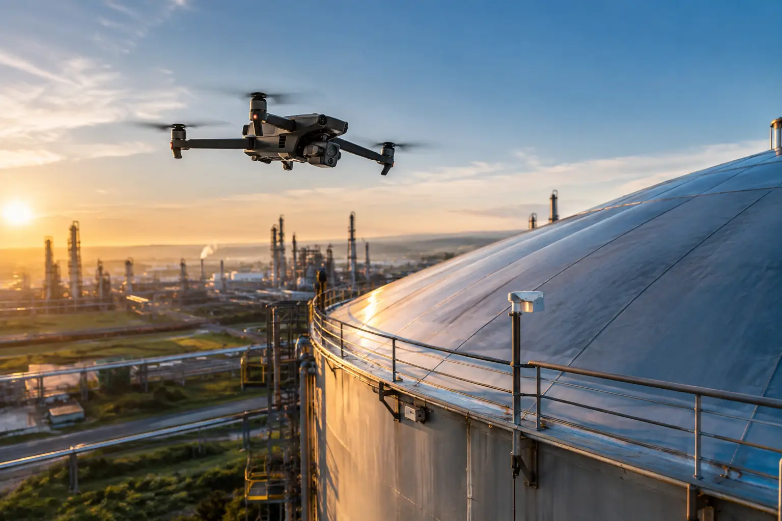
A construction superintendent needs reliable cut-and-fill quantities before the next grading phase. A utility vegetation manager needs to see the ground beneath a dense tree canopy. A plant operator needs clear documentation of rooftop equipment and exterior conditions. These are different jobs, which is why the drone lidar vs photogrammetry decision should start with the operational question, not the sensor specification.
Both methods can reduce time on site, limit exposure to hazardous areas, and provide useful mapping and documentation. They do not produce the same type of data, and one is not automatically better than the other. The right choice depends on surface conditions, required deliverables, accuracy expectations, schedule, and how the data will support engineering, maintenance, operations, claims, or project management.
Drone LiDAR vs Photogrammetry: The Core Difference
LiDAR is an active sensing method. A drone-mounted sensor sends laser pulses toward the ground or structure and measures the time it takes for each pulse to return. The result is a dense collection of measured points known as a point cloud. With the right flight planning and processing, LiDAR can classify points into ground, vegetation, structures, and other categories.
Photogrammetry is image-based. The drone captures overlapping high-resolution photographs from planned positions, and software identifies matching features across those images to build maps, point clouds, elevation models, and textured 3D models. It is especially valuable when teams need a visual record that can be reviewed alongside the measurements.
The distinction matters in the field. LiDAR can often capture terrain through gaps in vegetation. Photogrammetry generally cannot see through leaves, brush, or a closed canopy because it is reconstructing what the camera can see. Conversely, photogrammetry commonly provides more natural visual detail and color for roofs, facades, construction progress, and insurance documentation.
When Drone LiDAR Is the Better Fit
LiDAR earns its place when the ground itself is the question and vegetation is in the way. For utility corridors, wooded construction sites, drainage studies, quarry operations, and large undeveloped parcels, a LiDAR-derived ground surface can provide information that image-only collection may miss.
It is also useful where elevation change drives decisions. A properly controlled LiDAR survey can support terrain modeling, stockpile measurement, slope review, corridor planning, and earthwork analysis. The data may help project teams identify grading issues, analyze drainage paths, and compare site conditions over time.
For transmission and distribution environments, LiDAR can support vegetation and corridor documentation by creating a three-dimensional view of terrain, trees, poles, and other visible assets. That does not eliminate the need for qualified utility personnel or engineering review. It gives those teams a more complete data set for planning and prioritization.
LiDAR can also be a practical choice for complex industrial areas where a dense point cloud is needed to understand spatial relationships among equipment, structures, pipe racks, and surrounding terrain. However, surface material and geometry still matter. Highly reflective surfaces, glass, water, fine wires, sharp edges, and deeply recessed features can create gaps or noise that require careful collection and quality review.
The trade-off is cost and data handling. LiDAR payloads, calibration requirements, and point-cloud processing are typically more expensive than image-based missions. The resulting files can also be large and may require specialized software or personnel to interpret effectively. If a project only needs current visual documentation or a high-resolution orthomosaic of open ground, LiDAR may add expense without adding meaningful value.
When Photogrammetry Makes More Sense
Photogrammetry is often the practical choice when visual context matters as much as geometry. Construction teams can use orthomosaic maps to document progress, coordinate trades, verify material staging, review access routes, and communicate site conditions without sending every stakeholder into the field.
For industrial rooftops, exterior building envelopes, cooling tower exteriors, cell towers, and accessible portions of complex facilities, high-resolution imagery can give maintenance and inspection teams a detailed visual record of conditions. Image-based 3D models can make it easier to orient findings on an asset and compare current conditions with prior documentation.
Insurance and catastrophe-response work is another strong photogrammetry use case. After a storm, fire, or other loss event, teams often need organized imagery that shows the extent and location of visible damage across large roofs, facilities, or construction sites. A photogrammetric map or model can add location and scale to the image record, helping claims and operations teams review conditions efficiently.
Photogrammetry is generally faster and more cost-efficient to deploy because the sensor is usually a high-quality camera rather than a specialized laser scanner. It produces visual deliverables that many stakeholders can understand immediately. That accessibility matters when project managers, adjusters, facility teams, and executives need to make timely decisions from the same documentation.
Its central limitation is line of sight. Vegetation obscures terrain. Uniform or low-texture surfaces can be difficult for software to reconstruct. Water, reflective metal, glass, moving equipment, shadows, and changing light can affect results. On a site with heavy canopy, a photogrammetric surface model may represent the tops of trees and brush rather than the true grade below them.
Accuracy Depends on the Workflow, Not Just the Sensor
It is a mistake to treat LiDAR as automatically accurate and photogrammetry as approximate. Either method can produce poor results when flight planning, sensor settings, positioning, control, or processing are handled carelessly. Either can deliver valuable, repeatable data when the workflow matches the project requirements.
Global navigation satellite system corrections such as RTK or PPK can improve geospatial positioning, but they are not a substitute for validation. Ground control points and independent checkpoints may be needed depending on the required accuracy, site size, deliverable, and contractual requirements. The collection team should establish the coordinate system, control approach, flight plan, overlap, sensor settings, and acceptance criteria before mobilization.
For high-stakes projects, ask a more useful question than, “Which method is more accurate?” Ask, “What accuracy is required at what locations, and how will it be verified?” A design-grade terrain deliverable, a construction progress orthomosaic, and an insurance documentation flight may all have different accuracy and quality-control requirements.
Weather and operating conditions matter as well. Wind can affect image sharpness and flight stability. Low light and deep shadows can affect imagery. Rain, fog, dust, and atmospheric conditions can interfere with collection or reduce data quality. Safe, compliant flight operations around active construction, energized infrastructure, and industrial facilities require disciplined planning regardless of sensor type.
Choosing the Right Deliverable for the Job
The best collection plan begins with the decision the client needs to make. If the question is how much material moved, what the open site looks like, or whether work is progressing according to plan, photogrammetry may provide the clearest and most economical answer. If the question is what the terrain looks like beneath vegetation or how ground elevation changes along a wooded corridor, LiDAR may be justified.
Some projects benefit from both. A utility or civil project may use LiDAR for a classified bare-earth surface and imagery for visual reference. A large industrial facility may use photogrammetry for detailed asset documentation while using LiDAR in specific areas where spatial geometry or terrain is the priority. Combining the methods can reduce blind spots, but only when each deliverable has a defined purpose.
For asset inspection, neither sensor replaces a qualified engineer, inspector, or maintenance authority. Drone data supports those professionals by reducing unnecessary climbs, limiting exposure, documenting inaccessible areas, and providing a repeatable record for review. The value comes from collecting the right evidence safely and delivering it in a form the responsible team can use.
Questions to Settle Before Mobilization
Before selecting LiDAR or photogrammetry, project teams should define the asset area, required deliverables, coordinate system, required accuracy, vegetation conditions, operating constraints, and intended users of the data. They should also identify whether the final output needs to be visual, measurable, classified, repeatable over time, or all of the above.
A professional drone partner should be able to translate those requirements into a practical field plan, including site access, airspace review, safety coordination, control strategy, weather contingencies, and data-quality checks. This is particularly important around active construction operations, utility assets, power facilities, telecom structures, and other environments where access and safety conditions can change quickly.
The useful choice is not the most advanced sensor on a specification sheet. It is the method that gives your team defensible, usable information without adding avoidable cost, delay, or risk. Start with the condition you need to understand, then build the aerial data collection plan around that decision.