A loose conductor, a discolored substation connection, or storm debris hanging across a right-of-way can become expensive long before it becomes visible from the ground. The most useful utility asset inspection examples are not simply aerial images of infrastructure. They show how organized visual and thermal data can help utility teams identify conditions, document assets, plan work, and reduce exposure for field personnel.
For utility operators, the value depends on the asset, the inspection objective, and the decision that follows. A drone inspection may help a vegetation crew prioritize a corridor, give engineering teams current imagery for review, or provide claims teams with a time-stamped record after severe weather. It does not replace engineering judgment, hands-on testing, or required compliance procedures. It gives those teams better field intelligence to work from.
Utility Asset Inspection Examples for Field Operations
1. Transmission line and structure inspections
Transmission corridors often cross difficult terrain, private property, waterways, and heavily wooded areas. Aerial inspection can document conductor condition, insulators, hardware, crossarms, shields, structure members, and visible encroachment without requiring an inspector to access every location on foot.
High-resolution imagery gives operations and maintenance teams a current visual record of each structure. That record is particularly useful when comparing a suspected issue against prior inspections or when preparing a targeted follow-up visit. The practical outcome is not fewer decisions. It is better-informed decisions about which locations require climbing crews, ground access, engineering review, or immediate corrective action.
2. Distribution pole documentation
Distribution networks create a different inspection challenge: high asset volume. Individual poles may appear straightforward, but large service territories can include thousands of structures with varying ages, attachments, access limitations, and vegetation conditions.
Aerial documentation can capture pole tops, transformers, cutouts, conductors, communication attachments, guy wires, and visible equipment damage. It is especially effective for creating a consistent visual baseline across selected circuits or areas affected by weather. Ground crews still handle close verification and corrective work, but aerial data can help supervisors direct those resources toward the highest-priority locations.
3. Substation equipment and perimeter assessments
Substations contain high-value equipment in controlled environments where access, safety planning, and operational coordination matter. Aerial inspections can support documentation of buswork, breakers, transformers, switches, radiators, lightning protection, fencing, rooftops, drainage conditions, and visible damage around the site.
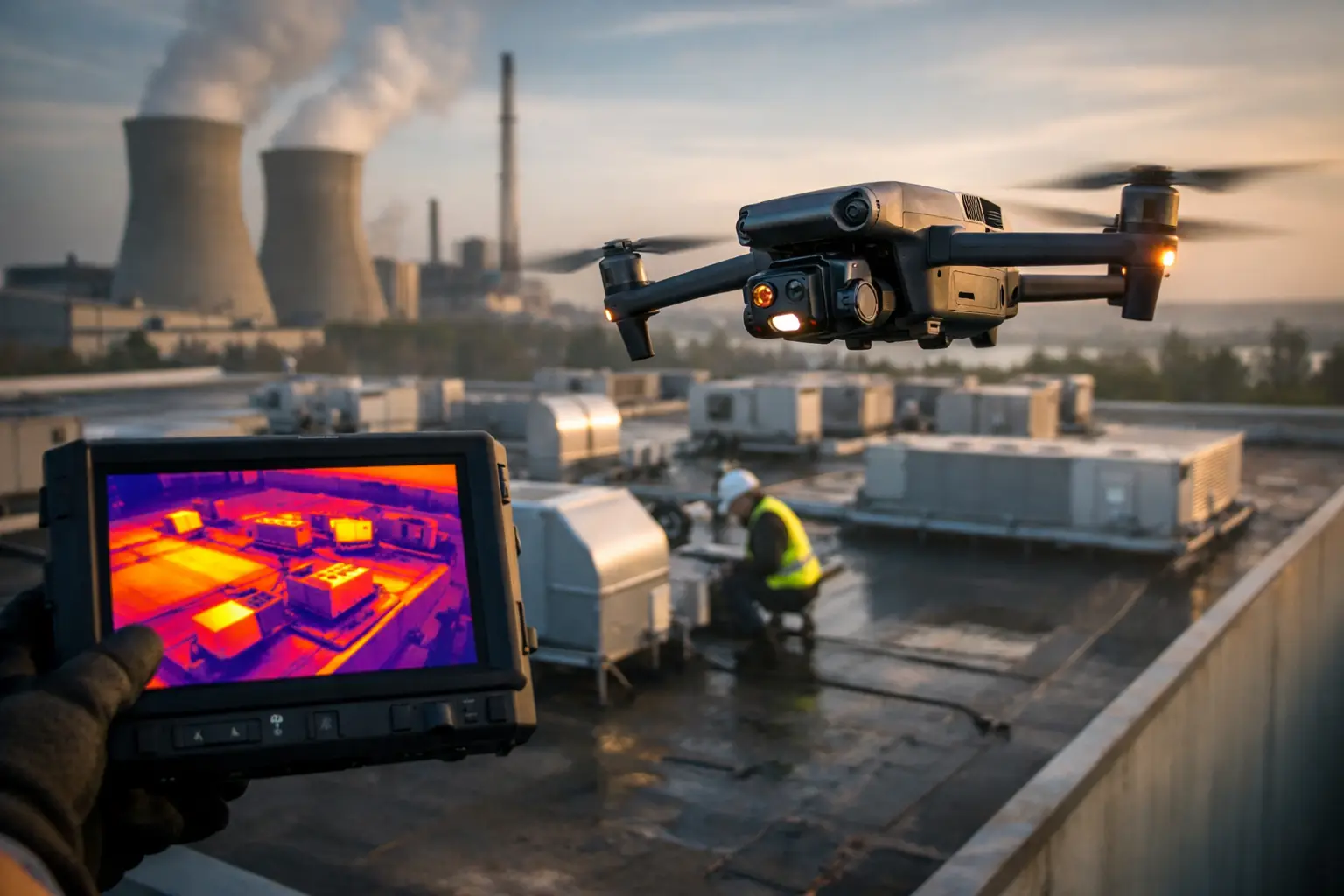
Thermal imaging can add useful context when performed under appropriate operating conditions and interpreted by qualified personnel. For example, temperature differences on connections or components may warrant further review. Thermal results are not a diagnosis on their own. Weather, load, emissivity, viewing angle, and equipment configuration all affect what the data means. The strongest workflow pairs thermal imagery with standard visual documentation and the utility’s maintenance and engineering process.
4. Vegetation management along utility corridors
Vegetation management is not just about identifying trees near lines. Teams need to understand access routes, canopy growth, encroachment patterns, storm damage, and the extent of work across long linear corridors.
Orthomosaic mapping creates a detailed, geographically accurate view of a corridor or work area. Used alongside high-resolution inspection imagery, it can help planners organize trimming cycles, identify areas needing ground verification, and communicate scope to contractors. After work is complete, updated imagery provides objective documentation of the cleared corridor and can help resolve questions about what was present before and after a maintenance event.
5. Storm damage and restoration documentation
After hurricanes, tornadoes, ice events, or major windstorms, utility teams must rapidly determine where damage is concentrated and how to sequence restoration. Roads may be blocked, conditions may remain hazardous, and the first reports from the field can be incomplete.
Aerial data collection supports early situational awareness by documenting damaged poles, downed conductors, broken hardware, flooded facilities, fallen trees, and inaccessible sections of corridor. The goal is not to fly without a plan or bypass safety controls. It is to collect disciplined, location-based visual information that supports command decisions, contractor deployment, restoration planning, and insurance documentation.
For large events, repeat flights can also show the progress of debris removal, repair activity, and site stabilization. Consistent documentation matters because restoration operations move quickly, and conditions can change by the hour.
6. Solar facility inspections
Utility-scale solar sites present a broad, repetitive asset landscape where a small number of defects can be difficult to locate from ground level. Aerial visual and thermal inspections can help identify damaged modules, soiling patterns, vegetation intrusion, standing water, tracker irregularities, damaged racking, and conditions around inverters or collection equipment.
Thermal findings require careful interpretation. A warm area on a module may indicate a condition worth investigating, but it should be evaluated in context and confirmed through the appropriate maintenance or engineering procedures. The advantage of aerial coverage is scale: teams can review large sections of a facility efficiently and focus ground-level troubleshooting where the visual evidence points.
7. Cooling towers, stacks, and elevated plant structures
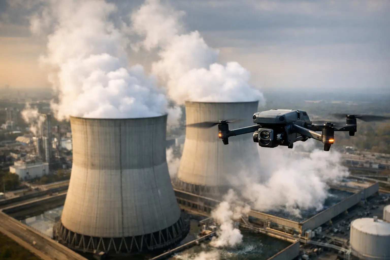
Power generation and industrial utility assets often require inspection of tall, confined, or difficult-to-reach surfaces. Cooling towers, stacks, containment-adjacent exterior structures, intake buildings, pipe racks, and elevated platforms can require scaffolding, lifts, rope access, or outages for traditional visual inspection.
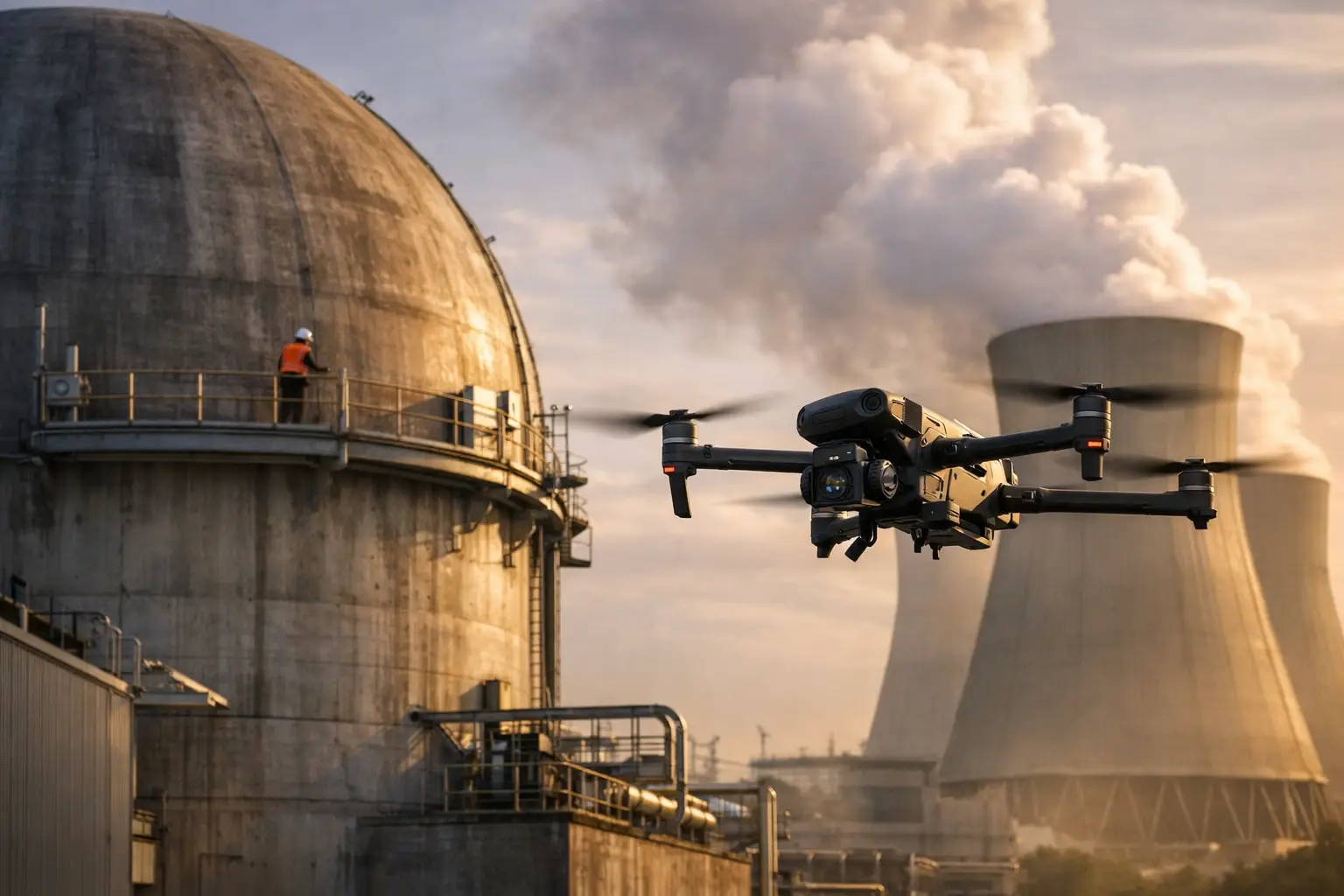
Drone-based visual documentation can reduce the amount of initial exposure needed to understand surface conditions. It can capture exterior cracking, coating deterioration, open seams, corrosion, missing components, and other visible anomalies from angles that are difficult to obtain safely from the ground. On complex facilities, the deliverable may include annotated images, close-range video documentation, a 3D model, or a site map that helps maintenance and engineering teams establish scope before arranging a closer inspection.
The trade-off is clear: restricted airspace, operating equipment, electromagnetic interference, wind conditions, and facility procedures may limit what is practical. These missions require planning and coordination, not an off-the-shelf flight plan.
8. Pipeline, water, and wastewater infrastructure documentation
Utility inspection needs extend beyond electric assets. Pipelines, pump stations, water treatment facilities, wastewater lagoons, tank farms, and drainage systems all benefit from repeatable aerial documentation.
For a pipeline corridor, imagery can show washouts, erosion, exposed sections, access-road conditions, third-party activity, and vegetation changes. At water and wastewater facilities, aerial maps and 3D models can support planning around basins, clarifiers, rooftops, tanks, access roads, and drainage. These deliverables are useful for maintenance planning, capital project documentation, emergency response, and contractor coordination.
What Makes Inspection Data Operationally Useful
The image itself is only one part of the job. Utility teams get more value when data is collected to a defined purpose and delivered in a format that fits their workflow. A corridor assessment may require geolocated imagery and an orthomosaic. A substation review may call for organized photo sets showing specific equipment from repeatable viewpoints. A storm event may require rapid, time-stamped documentation grouped by feeder, district, or assigned work area.
Before a mission, decision-makers should define the asset scope, visible conditions of concern, required image resolution, safety boundaries, airspace considerations, and deliverables. They should also decide who will review the data and what action it is expected to support. Without that preparation, teams can collect a large volume of imagery that is difficult to search, compare, or use.
Repeatability is equally important. Capturing the same asset from comparable positions over time makes trend review more practical. That can support maintenance planning, project progress tracking, and post-event comparisons. It also creates a stronger documentation record when multiple teams, contractors, insurers, or engineering stakeholders need a shared view of field conditions.
Choosing the Right Inspection Approach
Not every asset needs the same level of aerial coverage. A short, accessible line segment may be faster to assess from the ground. A widespread storm event, a tall cooling tower, or a remote transmission corridor may justify aerial collection immediately. The right approach depends on access, hazard level, operational urgency, asset value, weather, regulatory requirements, and the type of evidence needed.
Air Reel Technologies supports utilities and infrastructure teams with FAA Part 107-certified aerial inspection, mapping, thermal imaging, and documentation for demanding field environments. The focus remains practical: collect accurate visual intelligence, organize it for the people who need it, and help reduce unnecessary time and risk in the field.
The strongest inspection program is built before the next outage, storm, or maintenance window arrives. Establish the asset priorities, define the data standard, and make sure the resulting documentation gives your operations team a clearer starting point when conditions demand fast, defensible action.