A pipeline record has limited value if no one can tell where an image was taken, what condition it shows, or whether the same location can be reviewed six months later. The best pipeline documentation methods solve that problem by turning field observations into organized, repeatable records that maintenance, engineering, operations, and claims teams can use with confidence.
For pipeline owners and operators, documentation is not just a closeout task. It supports routine maintenance planning, right-of-way monitoring, contractor oversight, incident response, regulatory recordkeeping, and informed capital decisions. The right method depends on the asset, terrain, access conditions, and the question the team needs to answer. What does not change is the need for consistent collection standards and a defensible record of what was observed.
Start With the Decision the Documentation Must Support
Before collecting imagery or mapping data, define the operational decision behind the assignment. A maintenance team may need a current visual record of valve stations, crossings, exposed pipe, drainage, erosion, or encroachment. An engineering team may need measured mapping to understand grade changes and surface conditions around a corridor. Following a storm, insurance and operations personnel may need time-stamped evidence showing the extent and location of visible damage.
This step prevents a common failure: collecting a large volume of images that look useful but cannot be compared, located, or assigned to an action. The documentation plan should establish the area of interest, required detail, collection date, expected deliverables, and the people responsible for review.
For a long transmission corridor, the plan may divide the route into manageable segments based on mileposts, access points, crossings, or maintenance districts. For a station or terminal, it may use equipment IDs, zones, and established inspection routes. The naming system should match records already used by the organization whenever possible. A new folder structure is not helpful if it forces operations teams to translate it before they can act.
Best Pipeline Documentation Methods Begin With a Baseline
A baseline record is the reference point for every later inspection. It should document existing conditions clearly enough that a reviewer can identify what has changed, where it changed, and whether the condition warrants a closer assessment.
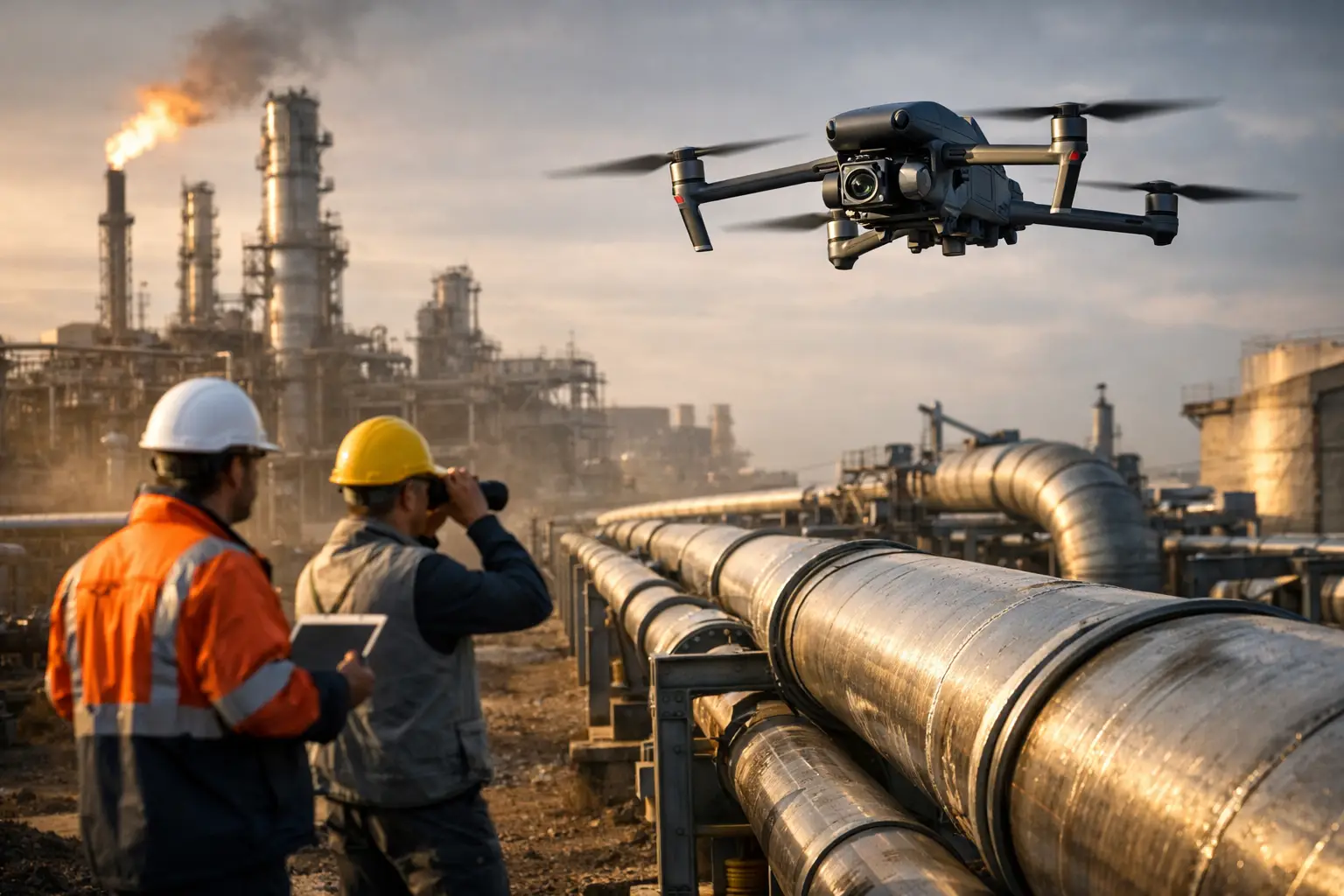
High-resolution aerial imagery is often an efficient way to establish broad visual coverage of rights-of-way, crossings, access roads, stations, and difficult terrain. When collected under a planned workflow, it gives teams a repeatable view of the same corridor or facility area without requiring personnel to cover every location on foot. It can also reduce exposure around steep slopes, water crossings, remote terrain, active industrial sites, or areas with limited access.
Baseline imagery works best when it is collected with defined altitude, camera angle, overlap, and route parameters. A broad overview may reveal general site conditions, but it may not provide enough detail for a component-level review. In many cases, the strongest approach combines overview imagery with closer inspection views of known concern areas, crossings, valves, above-ground appurtenances, supports, and access points.
The key is repeatability. If teams need to compare conditions over time, the collection method must be consistent enough to make that comparison meaningful. Flying a corridor at widely different altitudes, angles, or times of day can create apparent differences that are really just differences in collection conditions.
Build Location Into Every Record
An image without location context can create more work than it saves. Each observation should connect to a known place through geographic coordinates, milepost references, asset IDs, map layers, or a combination of these methods.
Orthomosaic maps are particularly useful when teams need a geographically accurate visual overview of a pipeline corridor, work area, or facility. They can help users orient imagery, identify site access conditions, review surface changes, and communicate the location of an observed issue. Three-dimensional models may add value where terrain, excavation, slope, stockpiles, or site geometry affect the work.
Not every assignment requires mapping-grade deliverables. A targeted visual inspection may be better served by organized, geotagged photographs and a clear asset index. The right choice depends on the required accuracy and intended use. If the work will inform measurement, design, or engineering analysis, define those requirements before collection rather than assuming any map or model will meet them.
Use a Consistent Asset and File Naming Standard
File names should make records searchable without opening every image. A practical format can include the project or corridor name, segment or asset ID, collection date, observation type, and sequence number. For example, a valve station image should be identifiable by its established station or equipment reference, not a generic camera filename.
A consistent standard also makes it easier to compare documentation from different vendors, crews, or inspection cycles. It reduces confusion during an incident when teams may need to locate records quickly.
Combine Broad Coverage With Targeted Detail
Pipeline documentation has two distinct jobs: showing the larger operating environment and capturing specific conditions that may need attention. Treating them as the same task usually produces gaps.
Broad coverage can document the right-of-way, access roads, terrain, drainage paths, crossings, nearby construction activity, vegetation conditions, and other visible surface features. Targeted detail focuses on a particular asset, condition, or location. This may include close imagery of exposed areas, signs of erosion, washouts, damaged access routes, standing water, damaged markings, or visible changes around facilities.
The most useful field record often pairs a wide contextual image with several close images. The wide image shows where the condition sits within the corridor or site. The close images show the detail that prompted review. That combination allows a remote decision-maker to understand both location and severity without guessing.
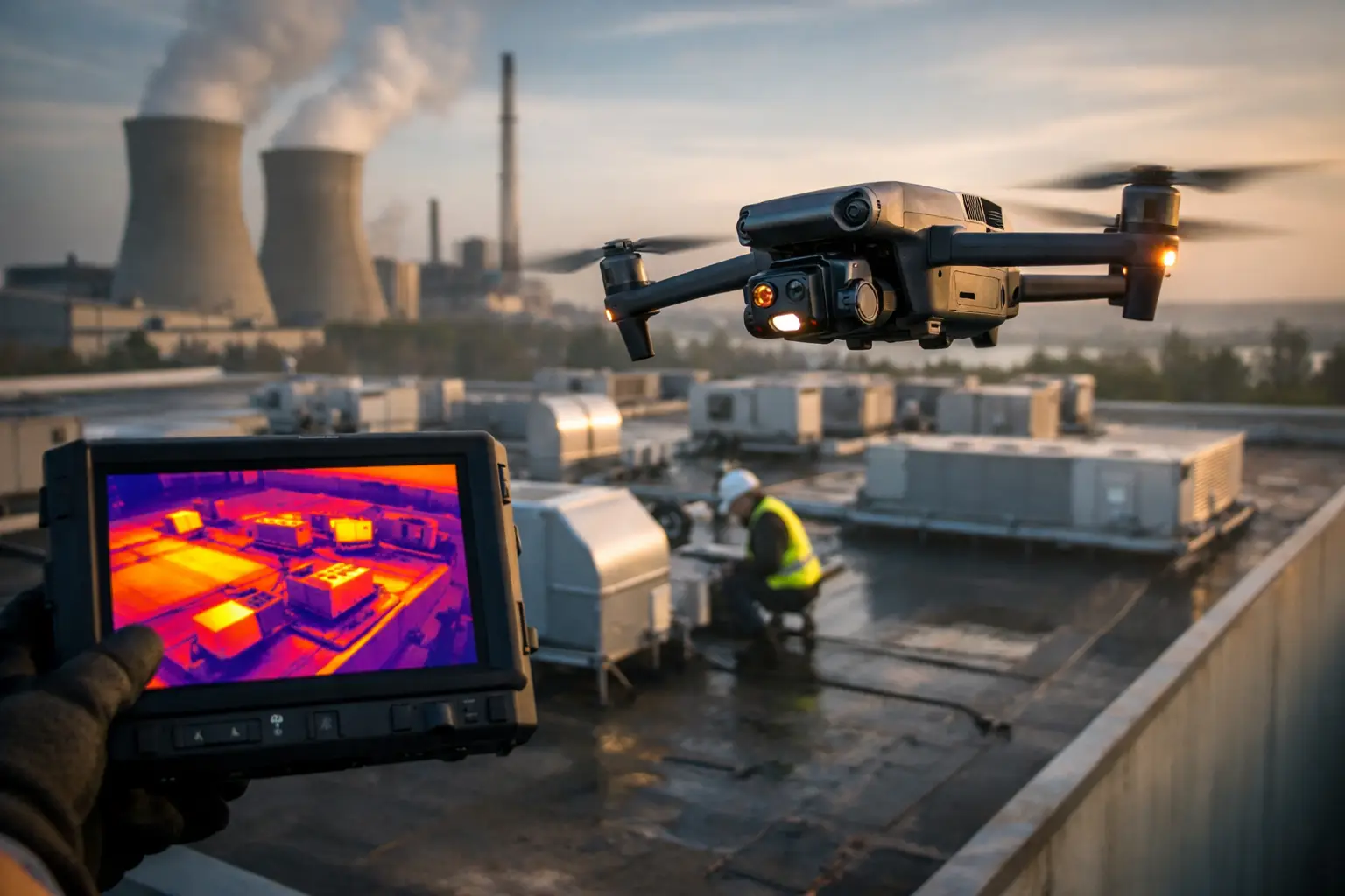
Thermal data can be a valuable additional layer in the right circumstances, especially when a team is investigating temperature differences across above-ground equipment or components. However, thermal imagery requires appropriate collection conditions, equipment settings, and experienced interpretation. A thermal variation is an observation, not a final diagnosis. It should be documented with visual imagery, asset context, collection conditions, and the appropriate follow-up by qualified personnel.
Document Exceptions, Not Just Routine Conditions
Routine coverage establishes continuity. Exception documentation creates action. When a field team identifies a visible condition that may affect operations, access, maintenance, or safety planning, the record should capture enough context for the receiving team to prioritize it.
A useful exception entry typically includes:
- The asset, corridor segment, or geographic location
- Collection date and time
- A clear description of the visible condition
- Overview and detail imagery
- A stated priority or recommended next step for internal review
Avoid overstating what imagery can prove. Aerial documentation can identify visible conditions, changes, and areas that may require attention, but it does not replace engineering judgment, integrity management procedures, or hands-on assessment where those are required. Clear language protects the value of the record. Describe what was observed, identify where it was observed, and route the finding to the people authorized to determine the response.
Establish a Repeat Inspection Schedule
The value of documentation increases when it becomes a time series rather than a one-time collection. The appropriate schedule depends on risk, seasonality, weather exposure, construction activity, known problem areas, and operational priorities.
Some corridors benefit from scheduled seasonal reviews that capture vegetation, drainage, and access changes. Others may need documentation after severe weather, flooding, construction near the right-of-way, or a reported incident. Facilities may use periodic visual and thermal collection to support maintenance planning around defined assets.
Consistency matters more than frequency alone. A monthly inspection with inconsistent routes and no asset indexing may be less useful than a quarterly program built around repeatable flight paths, identical location references, and a disciplined review process. The schedule should be practical enough that the team can maintain it through changing workloads and weather conditions.
Protect Data Quality and Chain of Custody
For maintenance decisions, claims, compliance records, and post-event reviews, teams need confidence that the documentation is complete and traceable. That starts in the field. Collection teams should maintain clear mission records, preserve original files, verify data before leaving the site when possible, and document any limitations such as weather, access restrictions, or incomplete coverage.
Data delivery should be organized for the people who will use it, not just for the team that collected it. A disciplined package may include original imagery, selected annotated images, location data, maps or models when required, and a concise observation log. It should clearly distinguish raw field observations from analysis or recommendations provided by engineering, maintenance, or operations personnel.
Air Reel Technologies supports this type of work with professional aerial data collection designed for demanding infrastructure environments. FAA Part 107-certified operations, insured field execution, and structured deliverables help pipeline and industrial teams obtain usable visual records while reducing unnecessary site exposure.
Plan for Conditions That Limit Aerial Collection
Aerial documentation is highly effective, but it is not the answer to every inspection requirement. Airspace restrictions, weather, vegetation cover, proximity to active operations, security procedures, and site-specific safety requirements can affect the collection plan. In some locations, ground documentation, manned inspection methods, or coordination with facility personnel may be necessary.
The right response is not to force a flight. It is to plan the work around the asset, approvals, operational constraints, and required deliverable. A professional provider should assess those factors before deployment and communicate any limits on coverage or data quality.
When pipeline documentation is designed around real decisions, consistent location references, and repeatable field standards, it becomes more than a collection of images. It gives the people responsible for critical assets a clearer record of changing conditions and a stronger starting point for the next decision.