A catastrophe claim can stall before an adjuster reaches the property. Roads may be blocked, access may be unsafe, and a large commercial roof or industrial site may be too extensive to document quickly from the ground. The top aerial data deliverables for insurers give claims, underwriting, and catastrophe teams a defensible visual record when speed, safety, and coverage decisions matter.
The best deliverable is not simply the most detailed image. It is the data product that answers a specific business question: What changed? Where is the damage? How extensive is it? What needs an on-site follow-up? Professional aerial collection helps insurers answer those questions while reducing unnecessary exposure for field personnel.
What Makes Aerial Data Useful to an Insurance Team
Aerial work becomes valuable when it is planned around the claim file, underwriting review, or portfolio response process. Images without location context, capture dates, or a clear asset reference can create more work for the people reviewing them. Insurers need organized evidence that can be compared, shared, and revisited.
For large commercial, industrial, and infrastructure-related losses, collection conditions also matter. Flight planning must account for site hazards, airspace requirements, weather, active operations, and the need to avoid disrupting recovery work. FAA Part 107-certified operators with appropriate insurance coverage bring discipline to that process.
The following deliverables are commonly the most useful because they turn aerial collection into documentation that claims and risk teams can use.
Top Aerial Data Deliverables for Insurers
High-Resolution, Claim-Ready Visual Documentation
High-resolution still imagery is often the foundation of an aerial insurance assignment. It can document roof coverings, rooftop equipment, exterior elevations, solar arrays, construction materials, debris fields, drainage areas, access roads, and visible storm impacts from angles that may be difficult or unsafe to obtain on foot.
For a claim file, consistency is as important as image quality. A useful image set identifies the site, records the capture date, follows a logical sequence, and provides both broad context and close visual detail. Wide images establish the relationship between damage areas and the full structure. Detailed images allow reviewers to examine particular conditions without losing the larger picture.
This deliverable supports, rather than replaces, the judgment of adjusters, engineers, and other qualified professionals. It provides a clear visual record for their evaluation and helps determine where a ground inspection or specialty review is warranted.
Orthomosaic Maps for Damage Extent
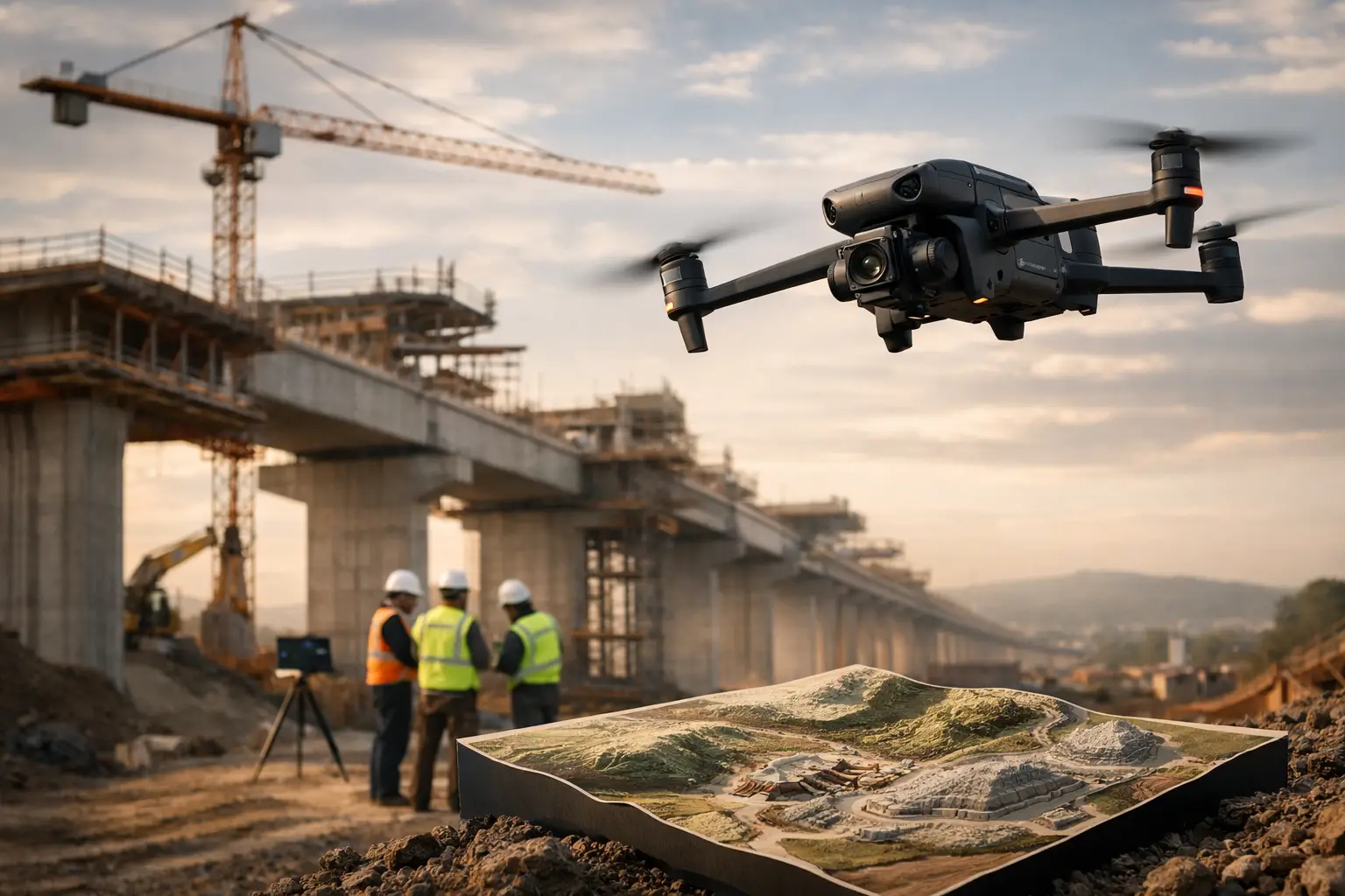
An orthomosaic is a corrected, top-down map created by combining many overlapping aerial images. Unlike a standard overhead photograph, it is designed to preserve geographic accuracy across the site. That makes it especially useful for large facilities, multi-building properties, construction projects, utility yards, and widespread catastrophe losses.
Claims teams can use orthomosaics to see the distribution of damage across an entire property, identify affected zones, and compare conditions with prior documentation when available. On a large industrial roof, for example, a map can help organize observations by section rather than relying on a collection of disconnected images.
Accuracy depends on the flight method, site conditions, and the level of control required. An orthomosaic is a strong planning and documentation tool, but it should not be treated as a substitute for a survey when a claim requires survey-grade measurements or formal boundary determinations.
3D Models for Complex Assets
Two-dimensional images can be limiting when an asset has height, layered geometry, or multiple access constraints. Three-dimensional models are useful for commercial structures, cell towers, cooling towers, substations, process equipment, and other assets where the relationship between components matters.
A properly captured model allows reviewers to examine the asset from multiple viewpoints, orient visible damage in space, and communicate conditions to remote stakeholders. This can be particularly helpful when adjusters, consultants, owners, and repair teams are operating from different locations after a major event.
Models are not necessary for every loss. For a simple, small roof claim, high-resolution imagery may be faster and more practical. For a complex facility or a disputed area of damage, the added context of a model can justify the extra collection and processing effort.
Thermal Imagery for Targeted Follow-Up
Thermal imaging detects surface temperature differences. In insurance-related work, it can help identify anomalies that deserve closer evaluation, such as possible moisture-related patterns in certain roof systems, overheating electrical components, or irregularities around mechanical equipment.
The key word is targeted. Thermal data is affected by weather, solar loading, material type, time of day, equipment operation, and camera settings. A thermal image does not diagnose a defect or prove the cause of a loss. It can, however, direct an adjuster, facility team, or qualified specialist toward areas that need further examination.
When thermal collection is included, the deliverable should pair thermal images with corresponding visual imagery and capture details. That context helps reviewers understand what they are seeing and prevents a temperature variation from being treated as a final finding.
Geolocated Damage Observations
For large or scattered losses, geolocated imagery and observation points create order. Each documented condition can be tied to a specific location on the property or along an asset corridor. This is useful for storm response across campuses, distribution facilities, utility infrastructure, pipelines, and transmission routes.
Location-tagged observations help teams assign follow-up work, compare field findings, and avoid repeated site visits to the same area. They are also useful when a carrier needs to communicate the status of a property to an insured, broker, consultant, or restoration partner without relying on vague descriptions such as “the north side” or “near the rear structure.”
The level of positional precision should match the use case. General geolocation may be sufficient for claims triage, while engineering or construction coordination may require a more controlled mapping workflow.
Repeatable Before-and-After Documentation
The strongest post-loss evidence is often a comparison. Pre-loss aerial documentation gives insurers a baseline for underwriting, risk assessment, and future claim review. After an event, a repeat flight can capture the same asset areas and provide a more direct view of changed conditions.
This approach is especially valuable for high-value commercial properties, industrial facilities, construction sites, and infrastructure portfolios exposed to recurring weather risks. A baseline does not eliminate the need for claim investigation, but it can reduce uncertainty around pre-existing conditions and support faster triage after a loss.
Repeatability requires planning. The operator should capture similar flight paths, angles, and coverage areas whenever practical. A random collection of before-and-after images is less useful than a deliberately matched documentation set.
Executive-Ready Inspection Reports
Raw files alone can overwhelm a busy claims or underwriting team. A concise report organizes the assignment: site overview, date and conditions of capture, areas documented, key visual observations, annotated images, and any limits that affected collection.
The report should be factual and clear. It should distinguish between what was observed and what requires assessment by an adjuster, engineer, roofer, electrician, or other specialist. This protects the integrity of the documentation and gives decision-makers a practical starting point for next steps.
For catastrophe operations, reporting format matters as much as content. A carrier may need a brief triage report for many properties first, followed by deeper documentation on locations with the greatest apparent impact. The right workflow depends on claim volume, asset type, and response priorities.
Match the Deliverable to the Decision
Insurers get better results when they define the decision before scheduling the flight. A fast catastrophe triage mission may prioritize broad site coverage, geolocated imagery, and a short condition report. A complex commercial property claim may require detailed roof documentation, a 3D model, and targeted thermal collection. An underwriting review may focus on roof condition, drainage, adjacent exposures, and property access.
Before deployment, align on five points:
- The purpose of the assignment: triage, claim documentation, underwriting, or follow-up inspection support.
- The asset areas that must be captured and any areas that should be avoided.
- The required level of detail and any need for mapping, modeling, or thermal data.
- The file and reporting format expected by claims, engineering, or operations teams.
- Site access, safety restrictions, active operations, airspace considerations, and scheduling constraints.
That brief keeps the mission focused and prevents a technically impressive deliverable from missing the actual business need.
Data Quality Is Part of Risk Control
Aerial documentation is only as reliable as the field process behind it. Insurers should look for disciplined planning, clear site coordination, appropriate flight permissions, secure handling of project data, and a documented chain from capture to delivery. These details are particularly relevant at industrial facilities, power assets, telecommunications sites, and other locations where safety and operational continuity are essential.
Air Reel Technologies supports these assignments with professional aerial inspection, mapping, thermal, and documentation workflows designed for demanding commercial and industrial environments. The objective is practical: provide usable visual intelligence without adding unnecessary risk or delay to the claim process.
The most useful aerial deliverable is the one that gives the next reviewer a clear place to start. When the data is organized, location-aware, and matched to the asset, claims teams can move from broad uncertainty to a disciplined follow-up plan.