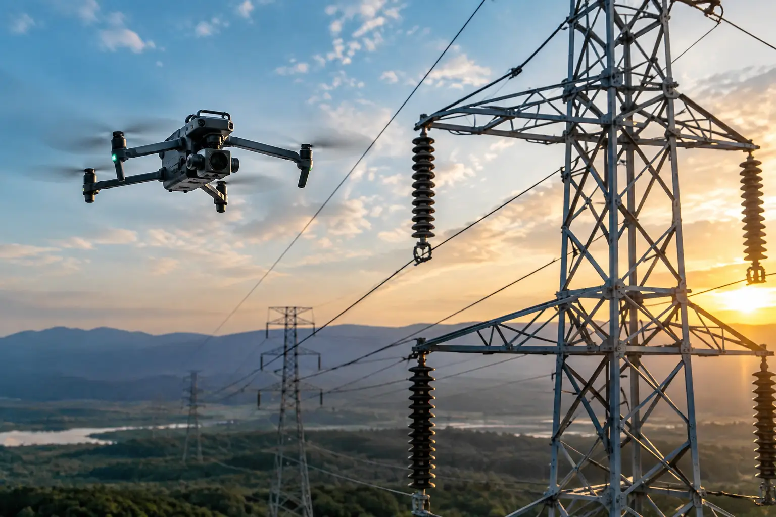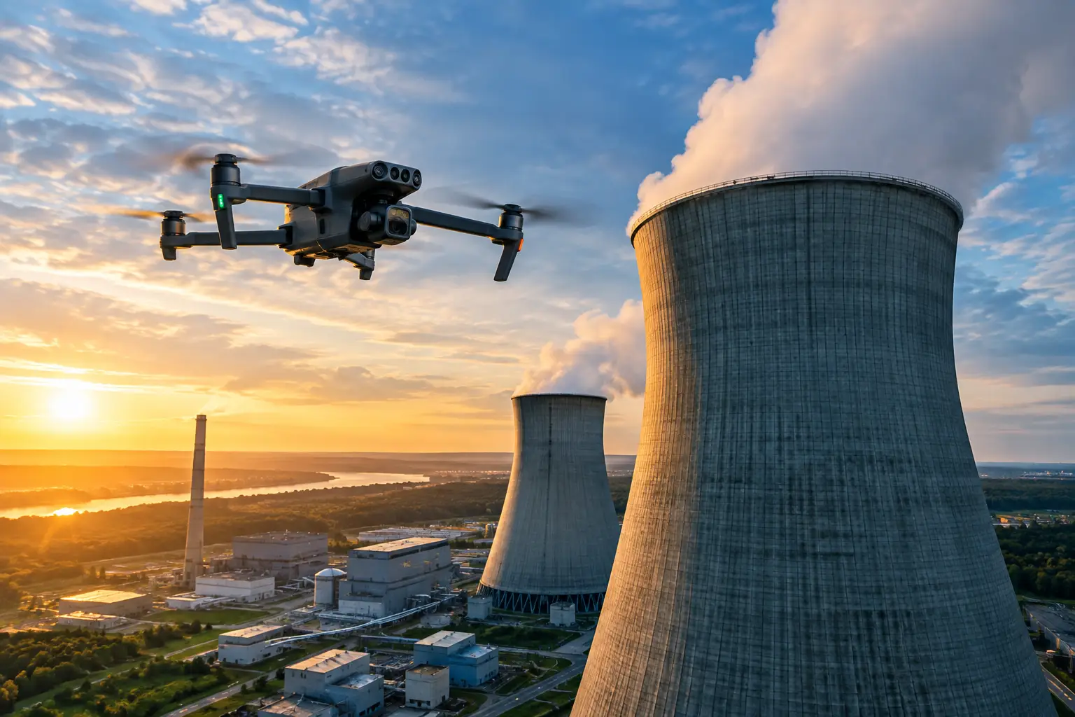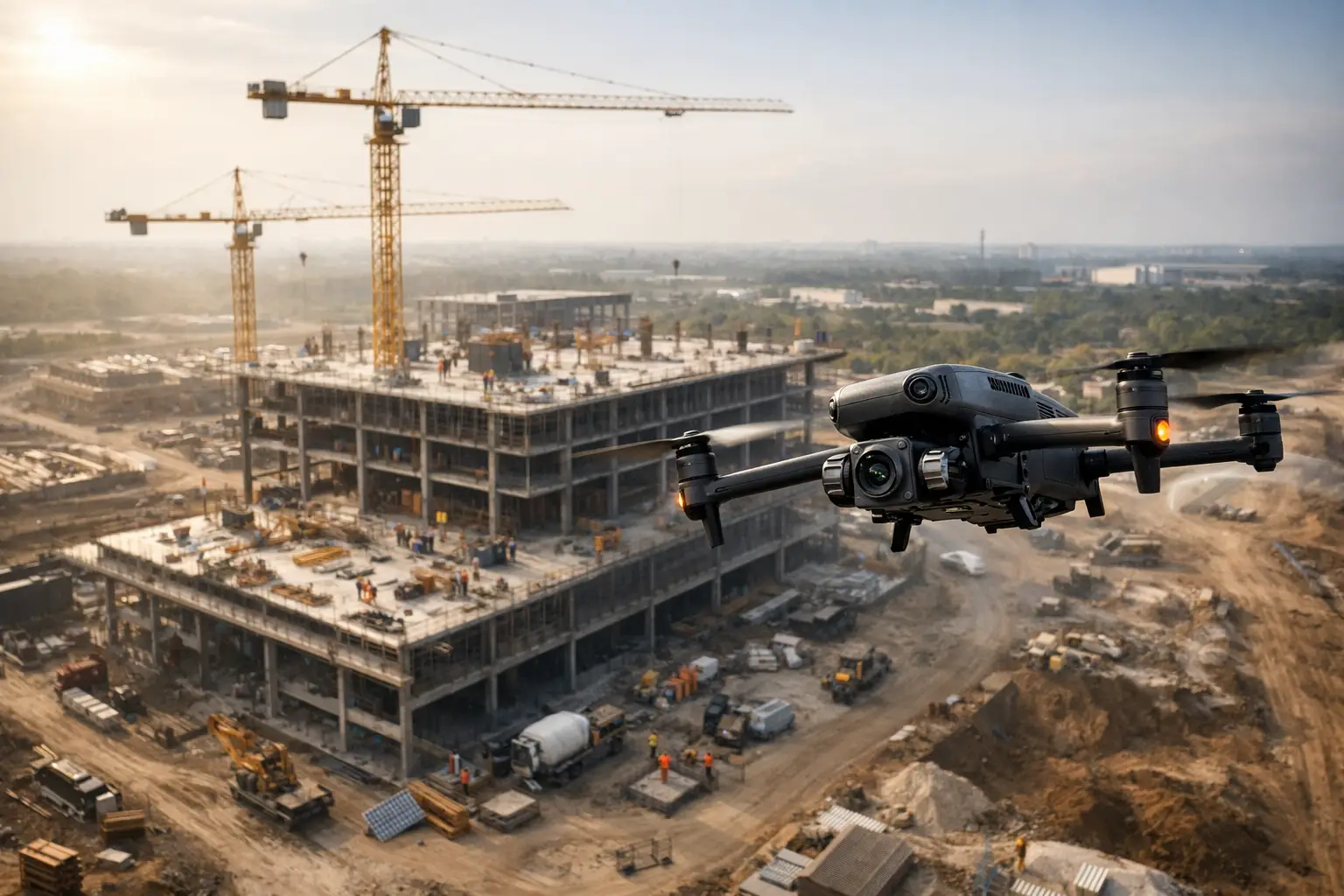
A superintendent should not have to walk an active 40-acre site to answer a simple owner question: Was the steel package installed as shown last week, and what changed since? Commercial construction aerial documentation gives project teams a consistent visual record of the work, from early earthwork through closeout, without relying on memory, scattered phone photos, or a site visit that may disrupt operations.
For commercial and industrial projects, the value is not the flight itself. The value is reliable information that helps teams verify progress, coordinate trades, identify developing issues, communicate with stakeholders, and preserve a defensible record of what was visible at a specific point in time.
What Commercial Construction Aerial Documentation Should Deliver
Effective aerial documentation is a disciplined, repeatable data-collection process. It captures the site from planned locations, at planned intervals, with deliverables that project managers and stakeholders can actually use. Depending on the project, those deliverables may include high-resolution still imagery, annotated progress photographs, orthomosaic maps, 3D site models, elevation data, thermal imagery, or focused visual documentation of a particular roof, facade, structure, or work area.
A single aerial image can provide useful context. A documented flight program provides something more valuable: comparison. When imagery is captured consistently, a project team can review sequence changes, material staging, site access, exterior progress, drainage conditions, and completed work across dates without trying to reconstruct the project from disconnected records.
The right deliverable depends on the question being asked. An owner may need a clear weekly view of progress for reporting. A civil team may need a current orthomosaic to compare laydown areas, roads, and grading against the site plan. A contractor investigating a roof installation issue may need detailed imagery of areas that are difficult to view from the ground. Treating every need as a request for general drone photos produces uneven results.
Why Consistent Aerial Records Matter on Active Sites
Construction moves quickly, and many conditions are temporary. Underground utility work is covered. Reinforcing steel disappears beneath concrete. Equipment is relocated. Wall assemblies and mechanical systems become inaccessible as subsequent scopes proceed. Once a condition changes, a project team may have only written notes or incomplete ground-level images to explain what occurred.
Regular aerial records preserve context around that work. They show where activities were taking place, how areas related to one another, and what site conditions looked like before the next phase began. This can support owner updates, subcontractor coordination, schedule discussions, payment reviews, issue documentation, and claims preparation when questions arise later.
The benefit is especially clear on large campuses, logistics facilities, manufacturing expansions, energy projects, and multi-building developments. These sites may have several active work fronts, long internal travel distances, restricted work zones, and personnel who need visibility without being physically present. A properly planned aerial record makes site status easier to review without suggesting that remote imagery replaces on-site management or professional engineering judgment.
Better coordination with less site disruption
Progress meetings often depend on reports assembled from multiple sources. Field photos may be useful but narrow. Aerial imagery adds the wider operating picture: where crews are concentrated, whether access routes remain open, how materials are staged, and whether work is advancing in the planned sequence.
That wider perspective can reduce avoidable back-and-forth between the field office, project executives, design teams, and remote owners. It is not a substitute for a look-ahead schedule or a superintendent’s daily oversight. It gives those discussions current visual context.
A stronger record for owners, lenders, and insurers
Stakeholders frequently need a clear, time-stamped view of progress without a lengthy site tour. Organized aerial documentation can support regular reporting and create a straightforward visual archive for decision-makers who manage multiple projects or are located outside the region.
It can also become useful when unexpected weather, adjacent-property concerns, material damage, or disputed site conditions require a documented timeline. The imagery does not determine fault or settle a claim by itself. It provides factual visual information that insurance, legal, operations, and project teams can evaluate alongside their other records.
Plan the Documentation Program Before the First Flight
The strongest programs start with project objectives, not equipment selection. Before field collection begins, the project team should define what needs to be documented, who will use the information, how often conditions should be captured, and what level of detail is required.
A weekly progress record may be appropriate during rapid structural or envelope work. Biweekly or monthly documentation may be sufficient during slower phases. After a major weather event, concrete pour, utility installation, delivery, or milestone inspection, an additional focused flight can preserve conditions that routine scheduling might miss.
Flight paths and image locations should be repeatable whenever possible. Similar viewing angles make comparisons more meaningful over time. For mapping, consistency in coverage, altitude, overlap, and ground-control strategy matters because the goal is usable site data rather than a collection of attractive images.
A practical scope should also account for site-specific constraints. Active cranes, elevated work, temporary flight restrictions, nearby airports, controlled airspace, weather, workers, and sensitive operations all affect planning. FAA Part 107 compliance, appropriate authorization where required, site coordination, and professional insurance coverage are operational requirements, not afterthoughts.
Match the Deliverable to the Construction Question
Not every project needs every type of aerial data. Selecting deliverables based on the decision at hand helps control cost and prevents teams from receiving files that do not fit their workflow.
Progress imagery and site overviews
High-resolution progress imagery is often the foundation of an aerial documentation program. It provides broad site views and detailed perspectives of construction areas, exterior assemblies, material storage, access routes, and visible work progress. Organized by date and location, this imagery becomes a useful reference for teams managing schedules and stakeholder communication.
Orthomosaic mapping
An orthomosaic is a corrected aerial map assembled from many images. It can provide a current top-down view of the site that is easier to compare with plans than standard perspective photographs. Project teams may use it to review staging, haul routes, visible site changes, stockpile locations, and overall progress.
Mapping accuracy requirements vary. If the map will inform surveying, design, or measurement-sensitive decisions, the scope must be coordinated around the required accuracy, controls, and processing method. A visual progress map and a survey-grade deliverable are not the same thing.
3D models and elevation context
Three-dimensional models can help teams communicate the state of a large site, compare visible changes over time, and review exterior elements from multiple angles. They are particularly useful when site geometry, grading, structural progress, or access conditions are difficult to understand from a plan view alone.
As with mapping, a model should be used within its intended purpose. It can support coordination and visual review, but it does not replace engineered plans, field verification, or professional structural assessment.
Focused inspection and thermal documentation
Some construction questions concern hard-to-reach surfaces rather than the whole site. Aerial visual inspection can document roofs, facade areas, elevated steel, tanks, cooling structures, and other exterior components while reducing the need for unnecessary exposure to heights or difficult access conditions.
Thermal imaging may help identify temperature variations that warrant closer review, such as potential moisture-related patterns, insulation irregularities, or equipment heat anomalies. Thermal findings require proper interpretation and should be evaluated by the responsible technical or maintenance team. The data is a screening and documentation tool, not a structural certification or final diagnosis.
Avoid the Gaps That Weaken Project Records
The most common failure is inconsistency. Aerial imagery captured from different altitudes, different directions, and irregular intervals may still look useful, but it is harder to compare and less valuable as a project record. Establishing repeatable capture standards early prevents that problem.
Another issue is poor file organization. Imagery should be labeled by date, project area, and deliverable type so the team can locate a specific condition without sorting through hundreds of unstructured files. A clear naming convention matters more than it sounds when a project question emerges months after the work was completed.
Finally, do not collect more data than the project can use. A complex model with no designated reviewer may sit untouched, while a concise set of annotated site images could help the superintendent resolve a coordination question the same day. The best program is sized to the decisions, reporting requirements, and risk profile of the work.
A Field-Ready Partner Changes the Result
Complex commercial sites require more than a pilot who can capture overhead footage. They require personnel who understand work zones, communication protocols, weather decisions, safety boundaries, and the importance of delivering usable records on schedule. This matters even more around industrial facilities, utility assets, congested sites, and projects with restricted or high-risk areas.
Air Reel Technologies supports construction teams with FAA Part 107-certified aerial operations, professional insurance coverage, and field-tested documentation workflows built for demanding commercial and industrial environments. The objective is straightforward: provide accurate visual intelligence that fits the project team’s existing management, inspection, and reporting processes.
Before the next major pour, enclosure milestone, or weather event, decide what conditions your team may need to verify later. Capturing that record while the work is visible is usually faster, safer, and far less costly than trying to recreate it after the site has changed.