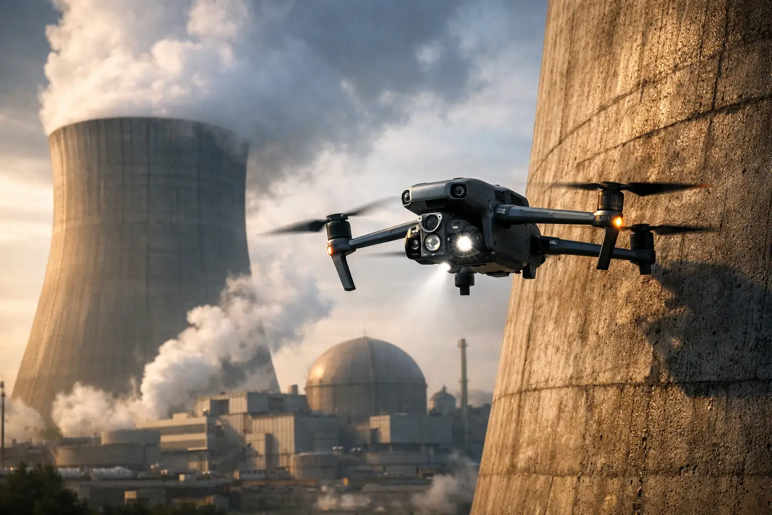
A missed detail on a tower, industrial roof, transmission structure, or active construction site can become an expensive mobilization, a safety exposure, or a schedule problem. Commercial drone inspections Georgia organizations use are most valuable when they give operations, engineering, and project teams a clear view of difficult assets without putting people in avoidable hazardous positions.
The value is not the aircraft itself. It is the disciplined collection of usable visual data: high-resolution imagery, thermal observations, orthomosaic maps, 3D models, and inspection documentation that helps teams prioritize work, communicate conditions, and make better decisions in the field.
Commercial Drone Inspections Georgia Teams Can Use
For commercial and industrial assets, an aerial inspection should begin with the decision it needs to support. A construction superintendent may need repeatable progress documentation for an owner update. A facility manager may need detailed imagery of a roof penetration or cooling tower exterior before approving access equipment. A utility or engineering team may need a documented view of transmission infrastructure, a substation component, or a corridor condition that warrants closer review.
Those are different assignments, even if they use similar equipment. The flight plan, image overlap, camera angles, thermal conditions, deliverable format, site coordination, and safety controls should reflect the asset and the intended use of the data.
This is where a professional inspection workflow differs from a quick aerial photo session. Commercial clients need images that are organized, traceable, and captured with enough consistency to be useful after the flight is over. They need a provider that can work around active operations, controlled access, weather constraints, and site-specific safety requirements.
Construction and Development Sites
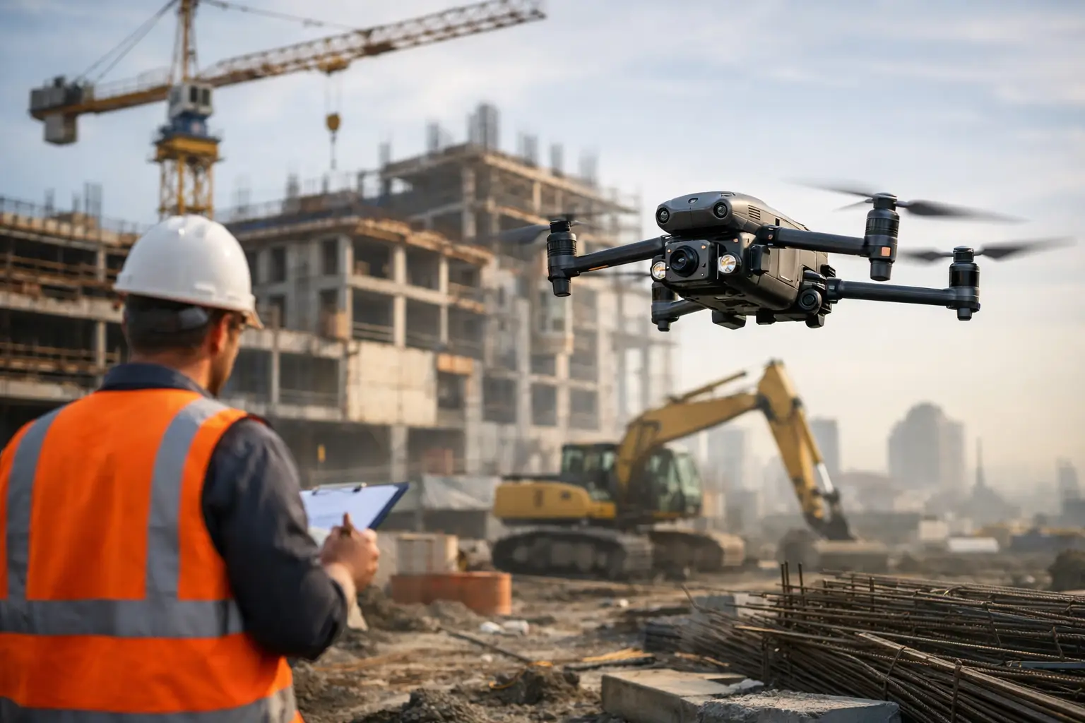
Construction projects change quickly. Weekly or monthly aerial documentation can show work completed, material staging, access conditions, earthwork progress, roof installation, façade activity, and site logistics from a perspective that ground photos often cannot provide.
Orthomosaic mapping can support measurements and coordination when collected to the appropriate standard for the project. A 3D model can help project stakeholders understand site conditions and communicate changes more effectively. Neither replaces survey, engineering, or contractual verification where those services are required, but both can give teams timely visual intelligence between site walks.
For a project manager, consistency matters as much as image quality. Capturing comparable views from similar locations and altitudes over time makes progress easier to review and helps create a defensible visual record of the project.
Industrial, Energy, and Utility Assets
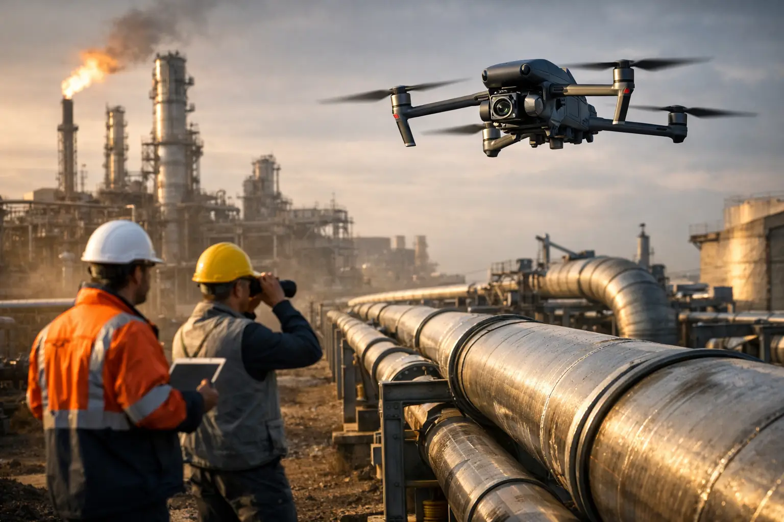
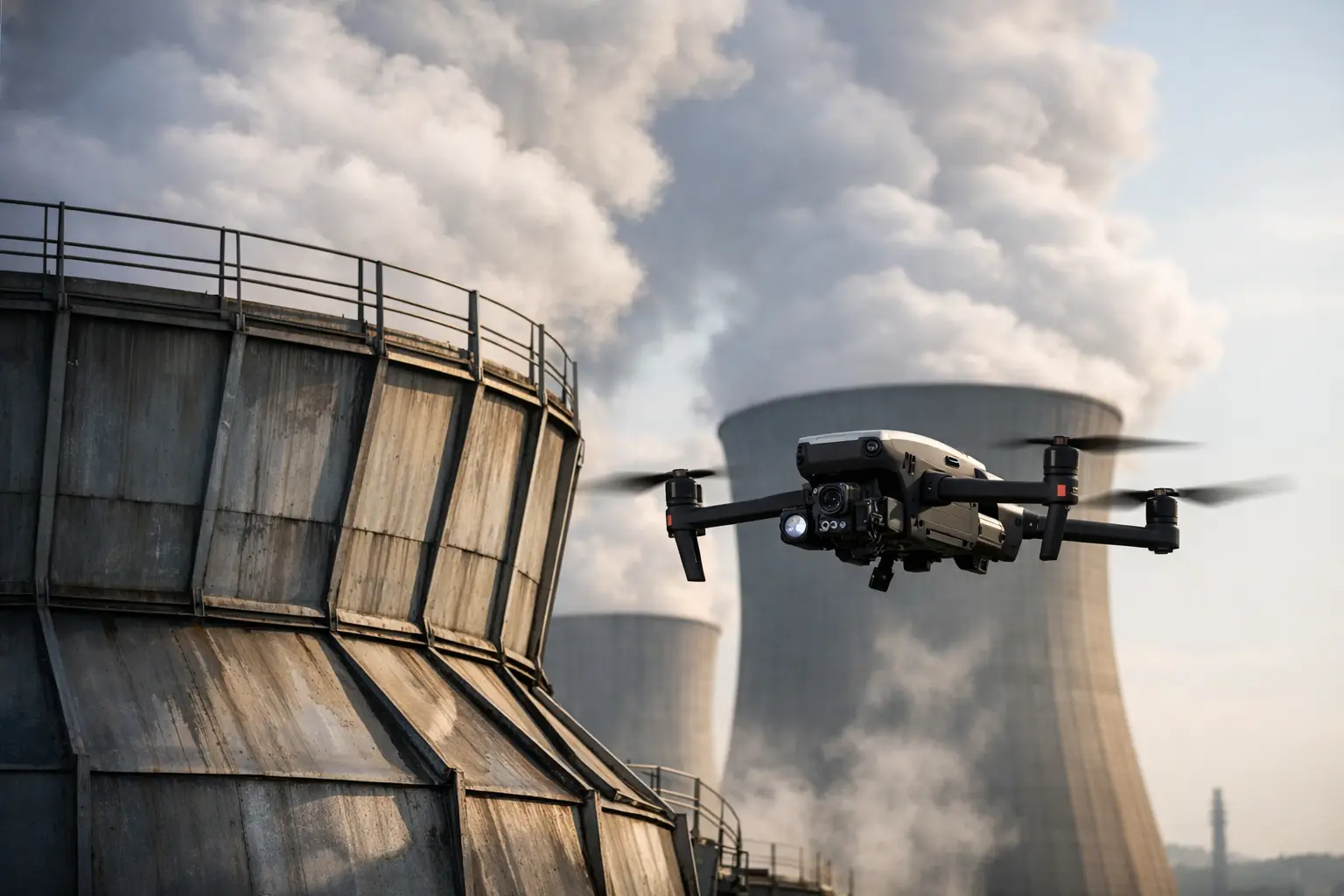
Industrial sites frequently contain assets that are hard to access, expensive to shut down, or unsafe to inspect at close range using manual methods alone. Cell towers, stacks, process structures, industrial rooftops, cooling towers, pipelines, transmission structures, and power-generation facilities all present different operational challenges.
A drone can collect close visual imagery while limiting the need for personnel to climb, use lifts, or enter certain elevated areas solely for an initial visual review. That can reduce exposure and help maintenance planners determine where hands-on access or specialized inspection resources are actually needed.
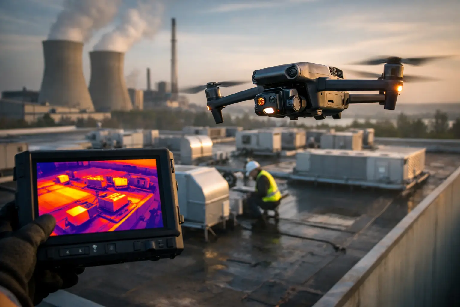
Thermal imaging can add another layer of context when conditions and flight planning are appropriate. It may reveal temperature differences that merit follow-up by qualified maintenance, electrical, or engineering personnel. Thermal data is a decision-support tool, not a diagnosis or a certification of asset condition. Its value comes from pairing clear findings with the operating context of the equipment being observed.
Insurance and Catastrophe Documentation
After a storm, fire, or other incident, time matters. Adjusters, carriers, property owners, and restoration teams need organized documentation of affected areas while access may be limited and conditions are changing.
Aerial collection can document roof surfaces, exterior elevations, large properties, infrastructure corridors, and site-wide damage patterns efficiently. High-resolution imagery also gives multiple stakeholders a common reference point, reducing repeat visits and helping teams prioritize locations that need closer ground review.
In catastrophe-response work, speed should never mean disorder. Clear file naming, location context, consistent capture, and prompt delivery are what turn large volumes of imagery into useful claims documentation.
What a Strong Inspection Workflow Looks Like
The best results are established before the aircraft launches. A capable provider confirms the scope, identifies the target assets, determines the required output, reviews access and operating constraints, and coordinates with the client’s designated site contacts. For sensitive facilities and critical infrastructure, this preparation is central to safe, professional execution.
FAA Part 107 certification is a baseline requirement for commercial drone operations, not a substitute for field discipline. A qualified provider should also carry professional insurance and operate within applicable airspace, site, and safety requirements. Some locations may require additional coordination, approvals, or operational limitations. A dependable inspection partner plans for those realities rather than treating them as an afterthought.
During collection, the team should work from a defined plan while retaining enough flexibility to capture conditions discovered in the field. Wind, lighting, reflective surfaces, live operations, and obstructions can affect imagery. For thermal work, time of day, weather, surface material, and equipment loading can materially affect what the camera records. Good field execution accounts for those variables and communicates limitations clearly.
After the flight, the deliverable should fit the client’s workflow. In some cases, that means a curated set of annotated high-resolution images. In others, it may mean a dated progress archive, a mapped orthomosaic, a 3D model, thermal image set, or a structured inspection report with observations identified for review. More data is not automatically better. The right package is the one that makes the next operational decision easier.
When Drones Save Time and When They Do Not
Drone-based inspection support is especially effective when the asset is elevated, expansive, difficult to reach, or unsafe to approach for an initial visual assessment. It can also be highly useful when a team needs repeatable documentation across a large construction site or multiple distributed locations.
There are limits. A drone may not capture concealed damage, internal conditions, or the precise detail needed for every engineering determination. Poor weather can delay flights. Restricted airspace, active industrial processes, nearby utilities, and site policies can shape how and when operations occur. In many cases, aerial data works best as part of a larger inspection program that includes ground crews, engineers, rope-access technicians, or other qualified specialists.
That is not a weakness of the method. It is the practical way to use it. Drones reduce unnecessary exposure, shorten the time required to gather visual context, and help direct skilled personnel to the areas where their hands-on expertise is most needed.
Choosing a Commercial Drone Inspection Partner
The right provider should be evaluated on more than a sample reel or a list of aircraft. Ask how the team handles site safety, airspace review, client coordination, data organization, weather decisions, and deliverable quality control. Ask whether they have experience operating around commercial construction, industrial facilities, energy assets, telecom infrastructure, or catastrophe conditions similar to your own.
It is also worth defining what “inspection” means for the assignment. Are you seeking visual documentation, thermal imagery, progress mapping, condition observations, or support for a formal engineering or maintenance review? A clear scope avoids the common mistake of collecting attractive imagery that does not answer the actual question.
Air Reel Technologies approaches these assignments as operational data collection, with FAA Part 107-certified pilots, professional insurance coverage, and field-tested procedures built for demanding commercial and infrastructure environments. The objective is straightforward: provide reliable aerial intelligence that helps clients reduce risk, improve visibility, and move work forward with better information.
For Georgia organizations managing high-value assets, the most useful aerial inspection is the one that arrives organized, credible, and ready to support the next decision. Define that decision first, then build the flight and deliverables around it.