Aerial analytics in insurance underwriting gives carriers a clearer view of property conditions before a policy is bound, renewed, or repriced. For commercial and industrial risks, that view can be difficult to obtain from street-level observations, aging inspection records, and applicant-supplied photos alone. High-resolution aerial data helps underwriting teams evaluate the parts of an asset that often drive loss exposure: roofs, elevated equipment, drainage paths, perimeter conditions, nearby vegetation, and site access.
The value is not simply getting a better image. The value is obtaining consistent, date-stamped documentation that can support a defensible underwriting decision while reducing unnecessary field exposure and travel time. For large facilities, distributed portfolios, and catastrophe-prone regions, aerial intelligence can help teams move faster without relying on guesswork.
Why Aerial Data Matters Before a Loss
Underwriters are expected to make decisions with incomplete information. An application may identify a roof as being in good condition, for example, but it may not show ponding water, membrane deterioration, unsecured material, rooftop equipment congestion, or tree overhang near the structure. Each condition does not automatically change a risk decision. It does, however, give the underwriting team a factual basis for follow-up questions, risk controls, inspection requirements, or pricing considerations.
This is especially relevant for commercial buildings, manufacturing sites, warehouses, energy facilities, telecom assets, and infrastructure-adjacent properties. These sites often have complex roofs, elevated structures, multiple buildings, restricted ground access, or operating conditions that make traditional inspection slow and disruptive.
Aerial inspection programs can document visible conditions across an entire site from a safer working position. Depending on the assignment, deliverables may include high-resolution imagery, annotated observations, orthomosaic maps, 3D models, and thermal imagery. The right deliverable depends on the underwriting question. A carrier reviewing roof condition may need detailed visual imagery, while a portfolio team evaluating site layout and exposure accumulation may benefit more from a mapped overview.
What Underwriters Can Evaluate With Aerial Analytics
Aerial data is most useful when it is tied to a defined underwriting decision. Sending a drone to collect general footage creates volume, not necessarily value. A disciplined scope identifies the assets, visible conditions, documentation standards, and turnaround requirements that matter to the carrier.
Roof and Building Envelope Conditions
Commercial roofs are a frequent source of loss, yet they can be difficult to inspect efficiently from the ground. Aerial imagery can help document visible wear, standing water, debris accumulation, damaged flashing, displaced materials, blocked drainage areas, and conditions around penetrations or rooftop units.
For underwriting purposes, the result is a more complete visual record of the property at a specific point in time. It can support a request for maintenance records, a targeted engineering review, or a recommendation that the insured address a visible concern. The imagery itself does not certify a roof or establish structural integrity. It provides reliable visual evidence for the people responsible for evaluating the risk.
Site Conditions and External Exposures
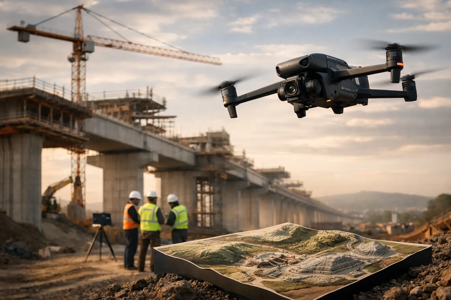
Loss potential is not limited to the building itself. Aerial mapping can reveal vegetation proximity, drainage patterns, adjacent construction activity, surface storage, access constraints, and exposure to neighboring operations. At industrial sites, it can also document equipment placement, laydown areas, tank farms, utility corridors, and separation distances that may not be clear in older plans or satellite imagery.
This perspective is useful when underwriting locations with changing site conditions. Construction projects, expanding facilities, and active industrial campuses can look materially different from one renewal period to the next. Current aerial documentation gives teams a way to compare conditions rather than relying solely on prior reports.
Elevated and Difficult-to-Reach Assets
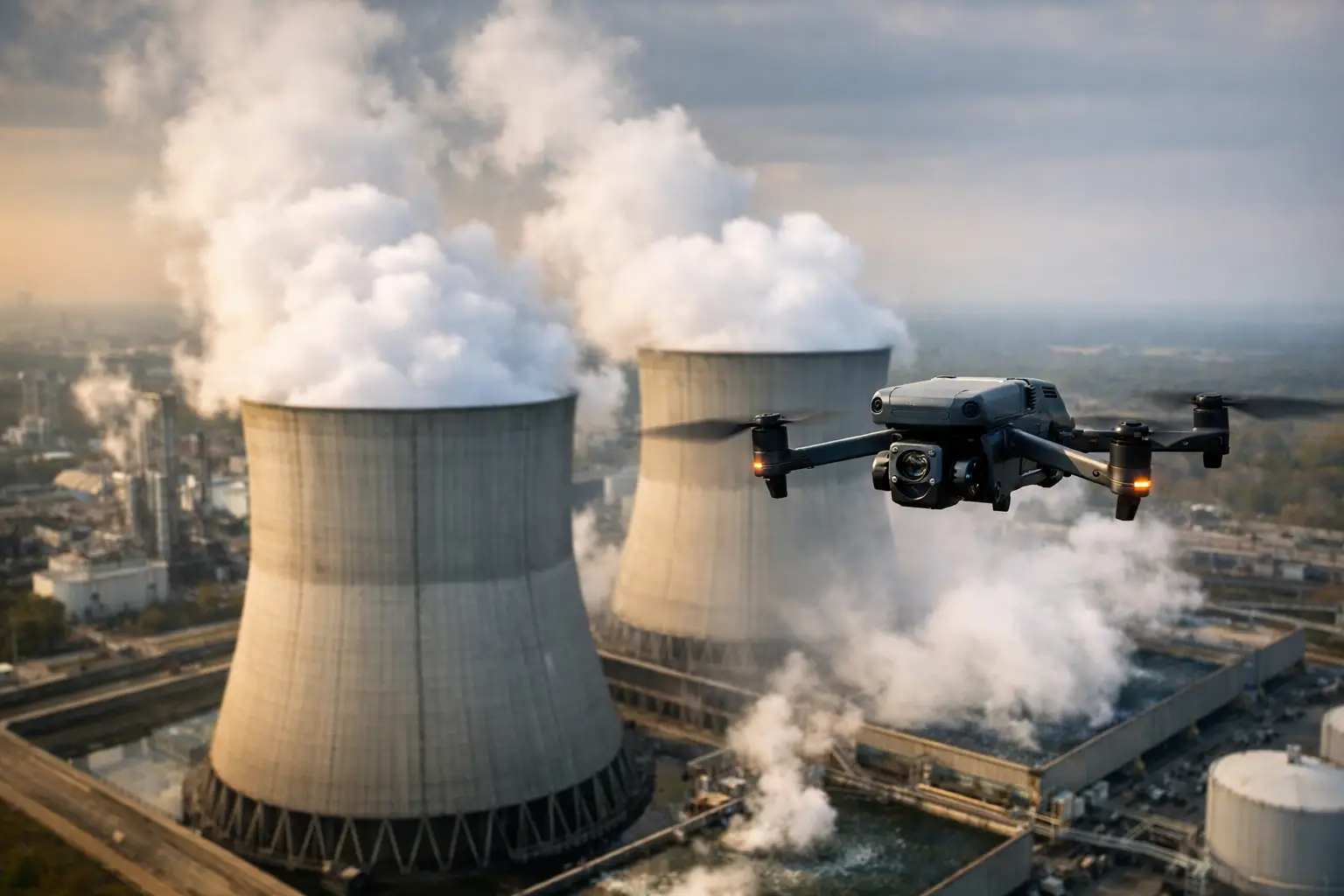
Cell towers, cooling towers, transmission structures, elevated conveyors, stacks, and rooftop mechanical systems carry inspection challenges of their own. Manual access can require lifts, rope access, shutdown coordination, or specialized safety planning. Aerial collection can reduce the need for preliminary hands-on access by documenting visible exterior conditions first.
That distinction matters. Drone data can help underwriters and risk engineers identify where closer evaluation may be warranted, but it does not replace an engineer, certified inspector, or maintenance professional when a hands-on assessment is required. Used properly, it helps direct those resources where they will have the greatest value.
Thermal Indicators
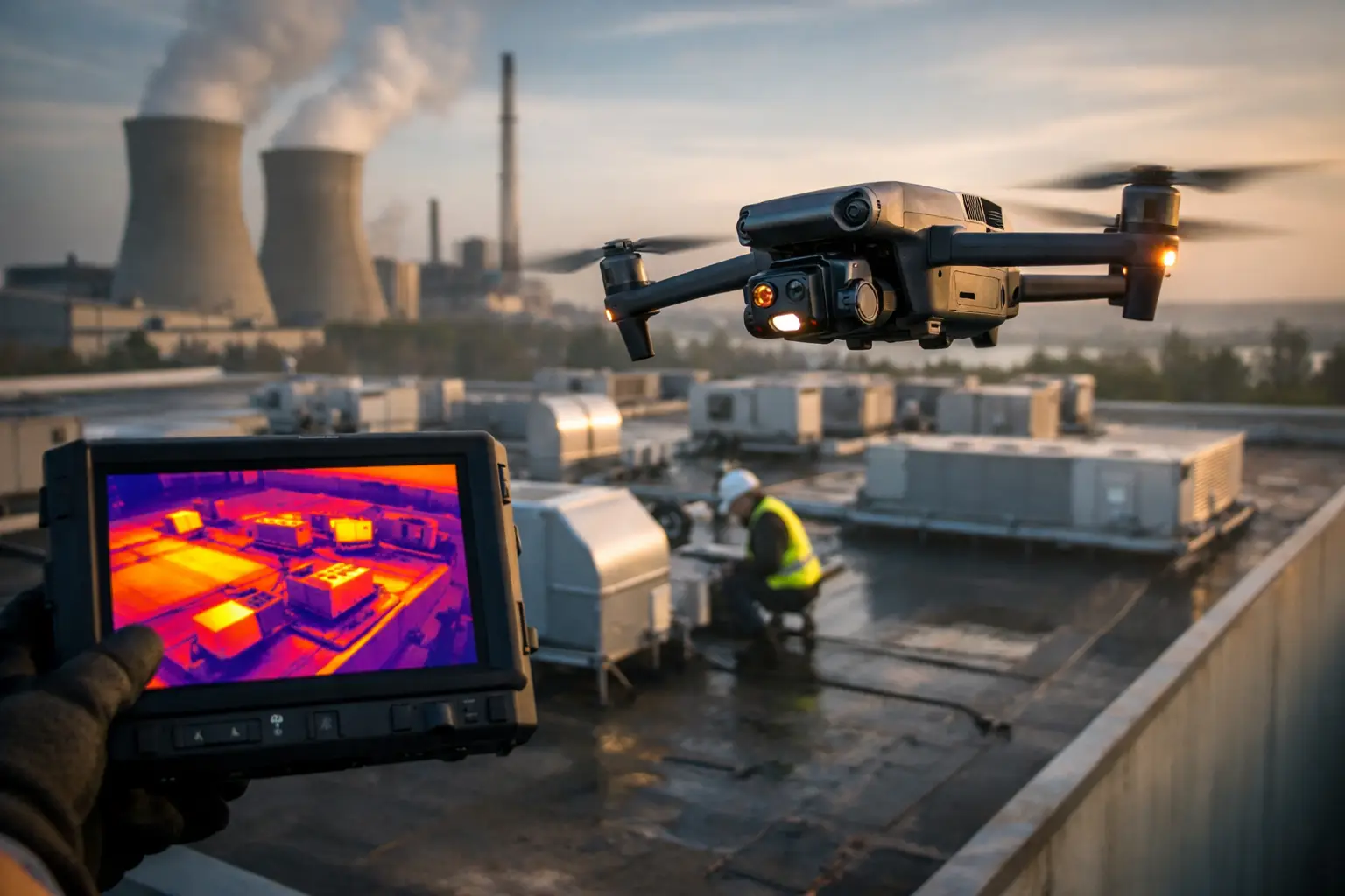
Thermal imaging can add another layer of information in appropriate conditions. It may help identify temperature anomalies associated with moisture retention, insulation gaps, electrical components, or operating equipment. However, thermal data is highly dependent on environmental conditions, equipment state, flight timing, and proper interpretation.
For that reason, thermal imagery should be treated as a screening and documentation tool, not a standalone diagnosis. When it identifies an anomaly, the appropriate next step may be a qualified trade review, maintenance investigation, or engineering assessment.
Aerial Analytics in Insurance Underwriting at Portfolio Scale
The strongest case for aerial analytics in insurance underwriting often appears at scale. A single-site inspection can improve one file. A repeatable program can improve consistency across hundreds or thousands of locations.
For example, a carrier may establish standardized capture requirements for roof imagery, building elevations, site overviews, and identified risk features. Those requirements can be applied across a portfolio, allowing underwriters to compare properties using the same baseline rather than a mix of applicant photos, informal site notes, and reports prepared years apart.
Consistency also improves auditability. A date-stamped image set can show what was visible when a decision was made. That record can be valuable at renewal, during a claim review, or when underwriting responsibility changes hands. It does not eliminate judgment, but it makes that judgment easier to understand and support.
Portfolio programs require planning. Carriers should define which classes of business, property values, geographies, and risk signals justify aerial collection. High-value commercial roofs, locations in hail and wind zones, facilities with known maintenance concerns, and properties with limited access are often logical starting points. The best deployment model depends on loss history, inspection budgets, existing engineering resources, and the cost of incomplete information.
Catastrophe Response: Faster Documentation, Better Triage
After a hurricane, hail event, tornado outbreak, wildfire, or severe storm, underwriting and claims teams face a different problem: speed. They need to understand which insured locations may have been affected, where damage appears concentrated, and which sites require immediate attention.
Aerial documentation can support post-event triage by capturing conditions across damaged or inaccessible areas without sending personnel onto compromised roofs or unstable sites. Current imagery can be compared with pre-loss documentation when available, helping teams identify visible changes and prioritize inspections.
The operational benefit is significant, but it depends on readiness. Catastrophe response requires qualified crews, safe flight planning, clear client coordination, and practical deliverables that fit claims and operations workflows. Collecting data quickly is only useful if it is organized, labeled, and delivered in a form that teams can review under pressure.
For insurers with concentrated exposure in the Southeast, pre-event planning is often more valuable than trying to build a process after a storm has already made landfall. Establishing inspection priorities, contact procedures, location data, and documentation standards ahead of time reduces confusion when response time matters most.
Data Quality and Compliance Are Part of the Underwriting Value
Aerial data is only as useful as the process behind it. Underwriting teams should expect clear location identification, capture dates, image organization, and documentation that distinguishes observed conditions from professional conclusions. They should also understand the limitations of what can be seen from the air.
Professional field operations matter as well. Commercial aerial work should be conducted by FAA Part 107-certified pilots with appropriate insurance coverage, site-specific safety planning, and respect for facility rules and airspace requirements. This is particularly important around industrial facilities, utilities, and critical infrastructure, where operations, security, and access procedures must be coordinated before collection begins.
Data handling should be considered early. A carrier may need secure delivery, naming conventions that match policy or location records, retention practices, and access controls for sensitive site imagery. These details are not administrative extras. They determine whether aerial documentation becomes a useful underwriting asset or another disconnected folder of files.
Where Aerial Data Has Limits
Aerial analytics improves visibility, but it does not answer every underwriting question. It cannot see concealed damage behind walls, confirm code compliance, verify maintenance quality, or determine structural condition from imagery alone. Weather, lighting, obstructions, active operations, and airspace restrictions can also affect what is practical to capture.
The right approach is to use aerial data alongside applications, engineering reports, loss history, maintenance records, and qualified inspections. When the image set raises a concern, it should lead to the appropriate next step rather than an unsupported conclusion.
For carriers, the practical goal is better evidence at the point of decision. Air Reel Technologies supports that goal with disciplined aerial documentation for complex properties and high-risk environments, helping teams see more of the risk without adding unnecessary exposure to the inspection process.
A well-designed aerial program does not replace underwriting judgment. It gives that judgment a stronger, more current foundation – especially when the property is large, difficult to access, changing quickly, or located where the next storm may test every assumption.