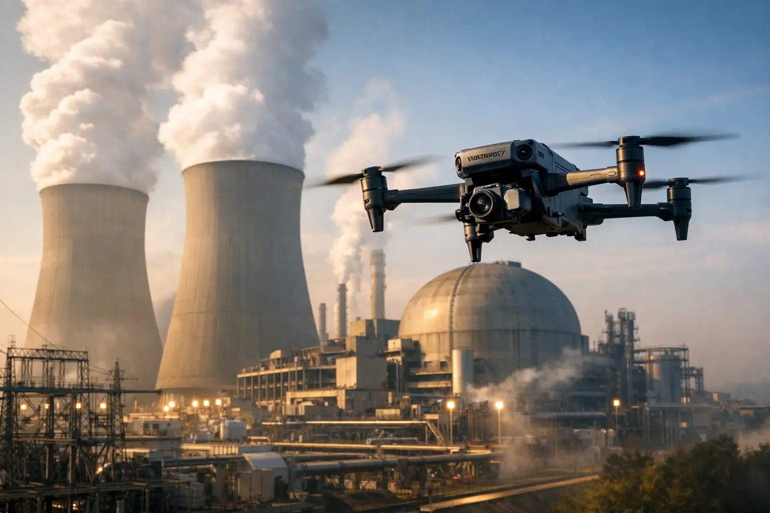
A superintendent should not have to rely on a two-week-old walk-through, scattered phone photos, or a subcontractor’s verbal update to understand site conditions. The top drone deliverables for contractors turn aerial collection into usable project records: information that helps teams verify progress, coordinate work, identify concerns, and document conditions before they become disputes.
For commercial and industrial construction, the value is not the flight itself. It is the quality, consistency, and practical use of the data that comes back. The right deliverable depends on the project phase, the asset, and the decision at hand. A weekly earthwork map serves a different purpose than close-range roof imagery or a 3D model of a complex exterior.
1. Construction Progress Documentation
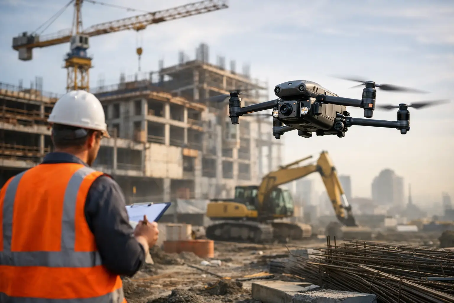
Progress documentation is often the most immediately useful aerial deliverable for active contractors. High-resolution images and organized site overviews create a reliable visual record of what was present on a specific date. Captured from repeatable viewpoints, these records make it easier for project managers, owners, and remote stakeholders to see completed work, active work zones, material staging, access routes, and changes to site conditions.
This is especially valuable when a project has multiple decision-makers who cannot visit the site regularly. Instead of circulating disconnected photos, the team can review a structured set of current images that shows the full site and key areas of activity. Consistent documentation can also support schedule conversations, pay applications, owner updates, and closeout records.
Frequency should match the pace and risk of the work. A large civil project may benefit from weekly collection during grading and utility installation. A vertical commercial build may need scheduled progress captures at major milestones, with additional flights before concrete pours, enclosure work, or substantial completion. More data is not automatically better. The useful standard is enough repeatability to show meaningful change without creating an unmanaged archive.
2. Orthomosaic Maps for Site Control
An orthomosaic is a geometrically corrected aerial map assembled from many images. Unlike a standard overhead photograph, it is designed to provide a consistent, top-down view that teams can use to understand the site layout and compare conditions over time.
For contractors, an orthomosaic can clarify the relationship between stockpiles, haul roads, excavation areas, laydown yards, drainage features, building footprints, and completed work. It gives project teams a current visual base layer for coordination meetings and planning discussions. On large, changing sites, that perspective can expose problems that are difficult to see from ground level, such as an access conflict, a growing material encroachment, or an area that has not been prepared for the next trade.
Accuracy requirements matter. If a map will inform precise measurement, design coordination, or earthwork calculations, the collection plan and control methods must support that purpose. If the need is general site awareness and documentation, a simpler mapping workflow may be appropriate. Contractors should define the intended use before requesting the deliverable rather than assuming every aerial map carries the same level of positional accuracy.
3. 3D Models of Buildings, Earthwork, and Complex Assets
A 3D model gives the project team a way to review an asset from angles that are difficult, time-consuming, or unsafe to access from the ground. For construction teams, models can support exterior documentation of buildings, structural steel, facades, roofs, towers, and earthwork areas. They are particularly useful when stakeholders need a broad understanding of the current physical condition rather than a collection of individual images.
On a complicated industrial project, a model can help teams review clearances, equipment locations, exterior interfaces, and the sequence of visible installation work. On earthwork projects, it can provide a useful visual representation of terrain changes between collection dates. For telecom, utility, and industrial facilities, detailed models can support planning discussions around hard-to-reach components and elevated structures.
A 3D model does not replace field verification, survey control, engineering judgment, or an approved design record. Its role is to provide clear visual context and support better-informed conversations. The strongest results come when the contractor identifies the areas that matter most before collection, such as a congested equipment yard, a cooling tower exterior, a roof transition, or a structural interface.
4. High-Resolution Inspection Imagery
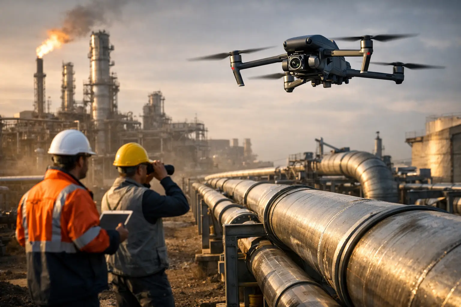
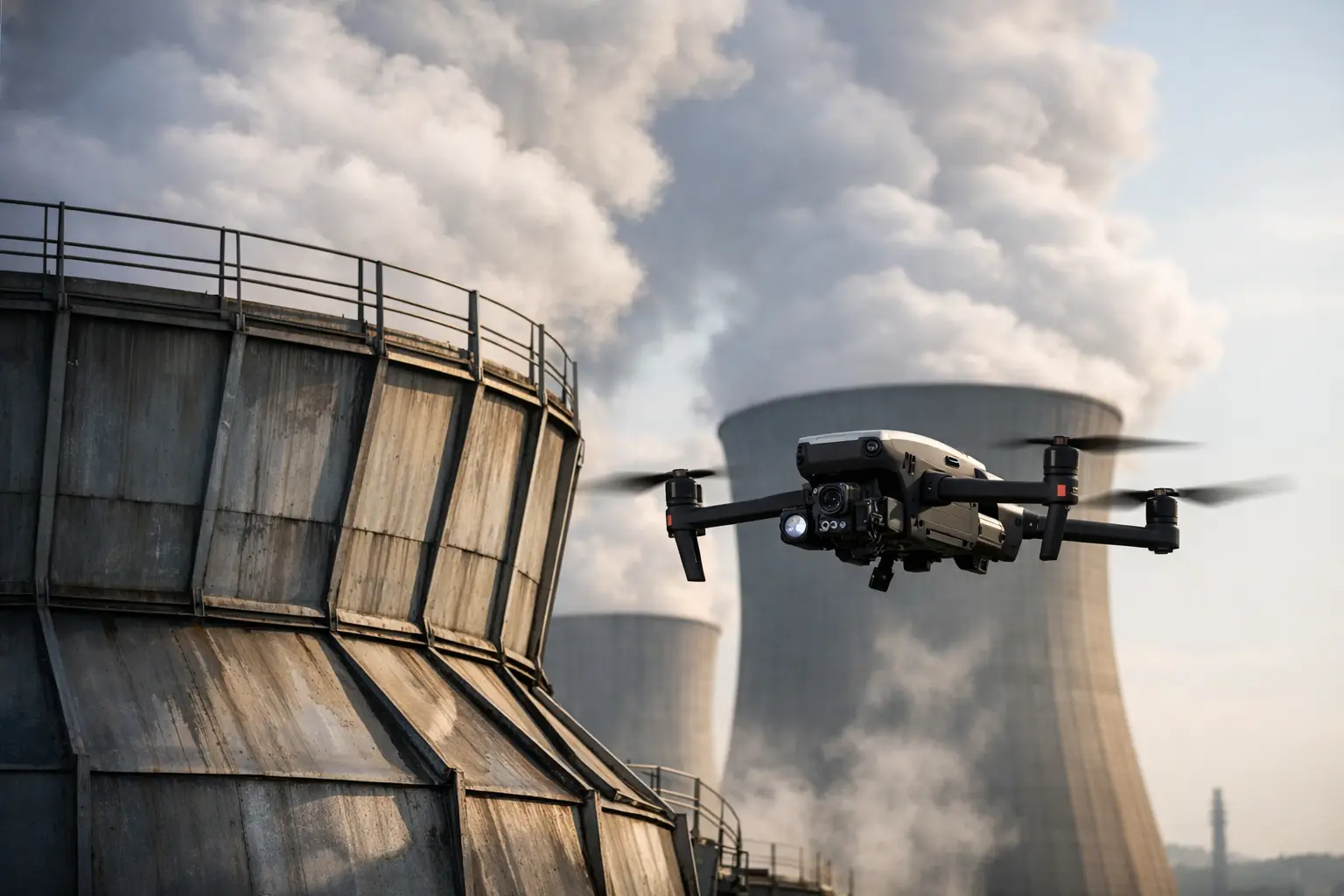
Close-range visual inspection imagery is one of the most practical drone deliverables for contractors working around elevated, confined, or difficult-to-reach areas. It can document roof conditions, exterior cladding, structural members, stacks, cooling towers, cell towers, transmission structures, and industrial equipment without sending personnel into exposure simply to obtain a first look.
The deliverable should be organized around the asset and the question being asked. A folder of hundreds of unlabeled images creates more work for the recipient. A disciplined inspection package identifies the asset area, date, viewpoint, and observed condition, allowing maintenance, construction, or engineering personnel to locate the relevant imagery quickly.
This type of documentation helps teams identify items that may require closer review, prioritize follow-up access, and record conditions before repair work begins. It does not certify an asset or establish structural integrity. Qualified engineers, inspectors, and maintenance personnel remain responsible for evaluating findings and determining corrective action. The aerial data gives them a safer, more complete visual starting point.
5. Thermal Imagery for Targeted Condition Reviews
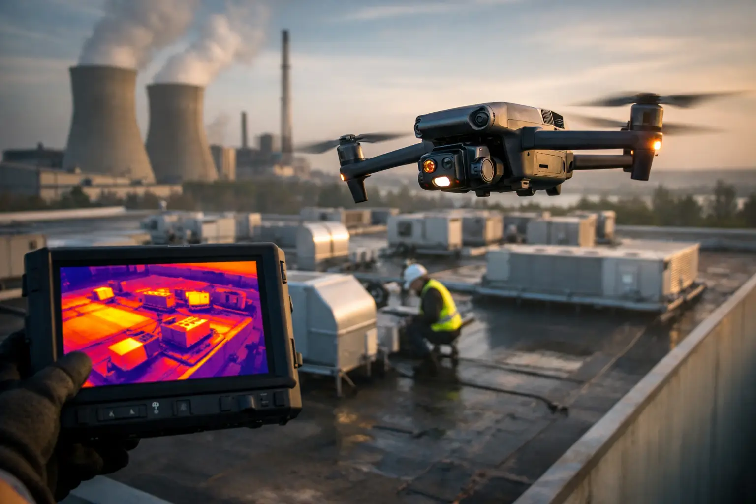
Thermal imaging can add another layer of information when visual imagery alone does not show the full picture. Depending on the asset and conditions, thermal data may help identify temperature differences associated with electrical components, building-envelope concerns, roofing moisture patterns, mechanical equipment, or process-related systems.
For contractors, the key word is targeted. Thermal collection is most valuable when there is a defined operational question, appropriate environmental conditions, and a clear plan for how qualified personnel will review the results. Time of day, weather, surface material, loading conditions, and equipment operation all affect what the imagery may reveal.
A good thermal deliverable pairs radiometric or thermal images with visible-light context and asset identification. That makes it easier for the receiving team to understand exactly where an anomaly was observed. The data can support maintenance planning, warranty documentation, punch-list investigation, and follow-up inspection, but it should not be treated as a stand-alone diagnosis.
6. Quantity, Stockpile, and Earthwork Documentation
Earthwork and material management create constant pressure on schedules and budgets. Aerial mapping can support visual documentation of stockpiles, excavation progress, aggregate placement, spoil areas, and changing site grades. When collected through a properly planned workflow, the resulting data may also support volume calculations and comparisons across collection dates.
This deliverable is useful when contractors need an independent visual record of material movement or when teams are managing multiple stockpiles across a large footprint. It can also improve communication between field teams, estimators, owners, and project controls personnel by replacing subjective descriptions with current site data.
The trade-off is straightforward: volume work requires more rigor than a general progress flight. Control, flight planning, processing standards, and stated accuracy expectations must align with the decision being supported. For contractual quantities or high-value earthwork decisions, contractors should establish the accepted methodology before relying on the data.
7. Incident, Claims, and Closeout Documentation
When weather, equipment damage, a site incident, or a scope dispute occurs, time-stamped aerial documentation can preserve conditions that may change quickly. High-resolution imagery can capture the scale of a loss, affected access areas, roof damage, staging conditions, drainage paths, and visible impacts across a large site. For insurance and catastrophe-response work, speed and disciplined documentation are often as important as image quality.
The same principle applies at closeout. A final aerial record can document completed exterior work, site restoration, access routes, equipment placement, and surrounding conditions. It gives owners and contractors a useful project reference without requiring a lengthy manual photo collection from the ground.
Choosing Drone Deliverables That Fit the Job
The best package starts with the operational question. Is the team trying to verify percent complete, plan work for the next two weeks, inspect an elevated component, document a claim, or establish a reliable record for the owner? That answer determines whether the priority is repeatable photography, mapping accuracy, close-range asset imagery, thermal data, or a combination of formats.
Contractors should also consider access constraints, airspace requirements, active site hazards, weather windows, and how the files will be used after delivery. A professional provider should plan collection around the jobsite, coordinate responsibly, and deliver data in a format the team can actually put to work. Air Reel Technologies supports this kind of field-ready aerial documentation for demanding construction and infrastructure environments.
The useful measure is not how impressive the images look on a screen. It is whether the deliverable gives the project team a clearer record, reduces unnecessary exposure, and helps the right person make a better decision while there is still time to act.