A map that looks sharp in a proposal deck can still fail in the field. If the ground sample distance is wrong, the control is weak, or the flight plan ignores site risk, the finished product may be hard to use for construction tracking, facility planning, or inspection support. That is why an industrial aerial mapping guide needs to start with operations, not software screenshots.
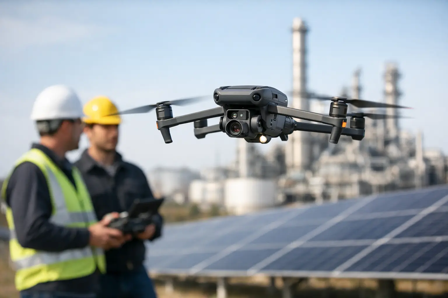
In industrial settings, aerial mapping is not about getting a nice overhead view. It is about collecting reliable visual data from active, high-value environments and turning it into deliverables that help teams make decisions. For construction managers, that may mean progress documentation and stockpile visibility. For utilities and plant operators, it may mean current site context around substations, cooling assets, rooftops, access roads, or transmission corridors. For engineering and insurance teams, it often means accurate site records captured quickly and with less exposure than manual methods.
What industrial aerial mapping actually covers
Industrial aerial mapping usually combines a planned drone flight, consistent image capture, and processing into outputs such as orthomosaics, 3D models, elevation products, and photo documentation. The right deliverable depends on the job. A project manager may need a current orthomosaic to compare site progress against schedule, while a facility team may benefit more from a 3D model that helps visualize roof equipment, drainage paths, or asset layout.
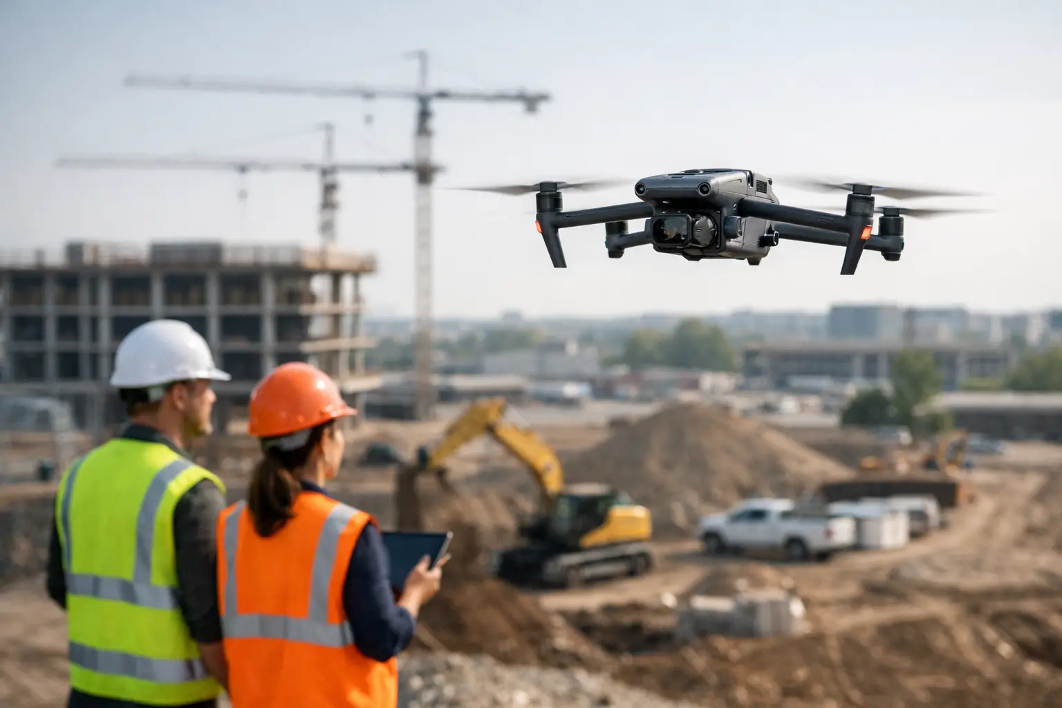
The industrial part matters. Mapping an active commercial site is different from flying open farmland or a vacant parcel. There may be cranes, energized equipment, restricted access zones, traffic, radio interference, heat sources, changing weather, and ongoing operations that cannot be disrupted. A usable aerial mapping program has to account for those realities before launch.
Start with the business question, not the drone
The strongest mapping projects begin with a narrow question. What decision will this data support, and how precise does the answer need to be? If a construction team wants weekly visual progress records, a repeatable flight path and clear image archive may matter more than survey-grade precision. If an engineering team needs mapping to support measurements, quantities, or design coordination, accuracy standards and ground control become far more important.
This is where many projects drift off course. Teams ask for a map when they actually need a recurring documentation workflow, a thermal survey, a 3D surface model, or a visual condition record tied to specific assets. The wrong scope does not just waste budget. It can create false confidence in deliverables that were never designed for the intended use.
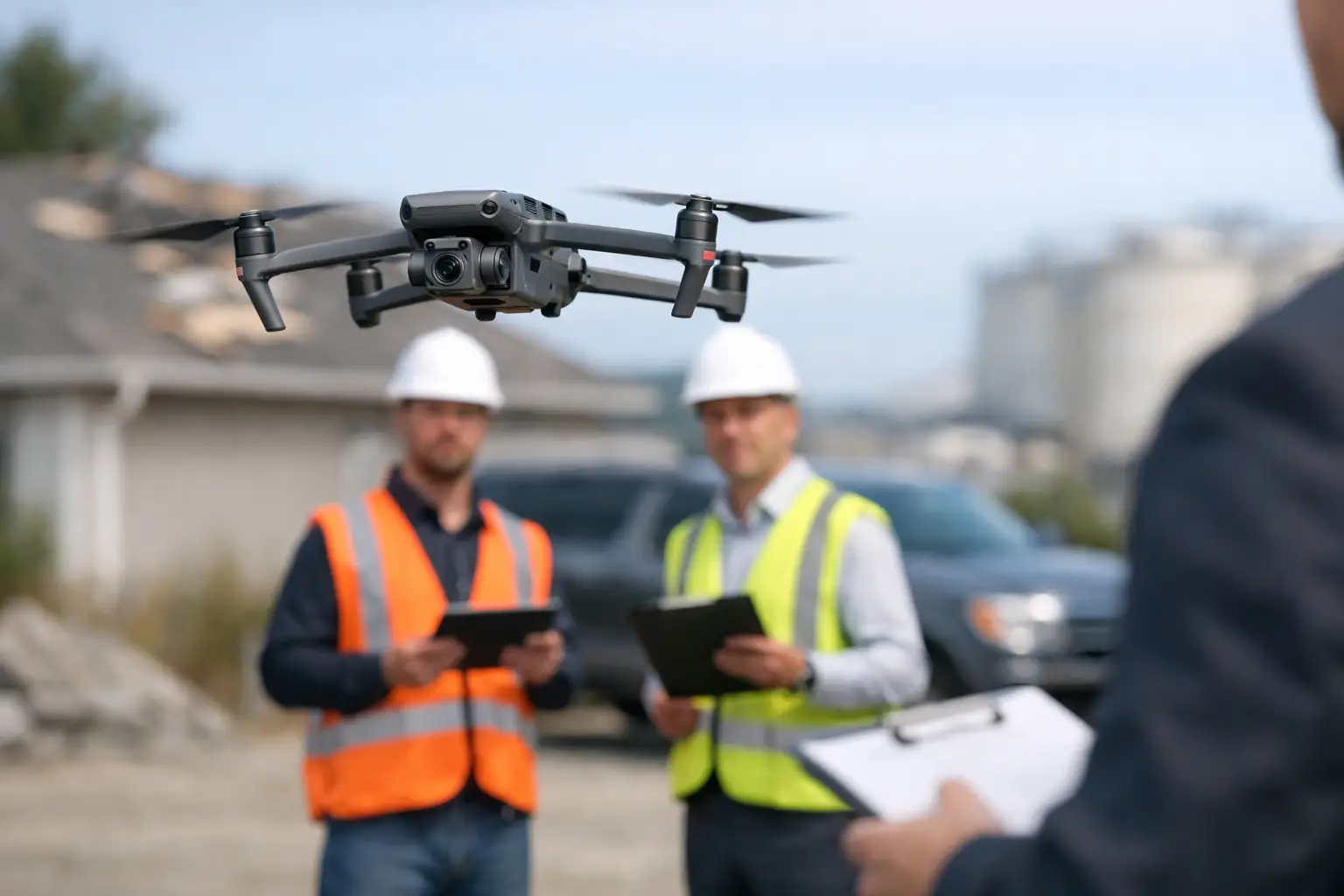
A disciplined provider will ask about site conditions, required outputs, update frequency, and how the data will be used internally. That conversation shapes everything that follows, from aircraft selection to processing methods.
Flight planning in an industrial aerial mapping guide
Flight planning is where risk control and data quality meet. In industrial environments, a good plan covers more than route geometry. It also addresses access, airspace, weather windows, obstructions, electromagnetic considerations, worker activity, and any client coordination needed to avoid interfering with operations.
Altitude is a trade-off. Fly higher and you cover ground faster, but you lose detail. Fly lower and you increase detail, but you may need more batteries, more passes, and more time on site. Image overlap matters too. Higher overlap improves processing reliability and model quality, but it also increases data volume and processing time. For large sites, efficiency matters. For dense or complex structures, extra image coverage is often worth it.
Timing can be just as important as equipment. Midday light may reduce long shadows on broad sites, while certain structures or thermal objectives call for a different window. Wind, reflective surfaces, and heat shimmer can all affect image quality. On active projects, crews and vehicles can also change the scene from one flight to the next, which makes repeatability a real operational issue.
Accuracy depends on method, not assumptions
Not every map needs the same level of accuracy, and not every aerial map should be treated as a measurement-grade product. That is a critical distinction for industrial users.
If the deliverable is intended for visual tracking, general planning, or broad site awareness, standard GPS-based workflows may be enough. If the map will support engineering coordination, volumetrics, or more precise measurement tasks, the process may require stronger control methods, tighter flight parameters, and more careful validation.
Ground control points and checkpoints can improve confidence in the final output, but they add time and coordination on site. In some environments, placing and surveying control may be straightforward. In others, such as restricted industrial yards or hazardous areas, it may be difficult or impractical. That does not make the mission impossible. It means the scope and expected accuracy need to align with field reality.
The best industrial mapping work is honest about those limits. A dependable provider does not blur the line between useful aerial documentation and formal engineering authority.
Choosing the right deliverable for the job
An orthomosaic is often the starting point because it creates a corrected, high-resolution top-down image of the site. It works well for progress tracking, access planning, site communication, and broad visual reference. For many owners and contractors, this is the most immediately useful output.
A 3D model adds context where elevation, structure, or spatial relationships matter. It can help teams review roof layouts, industrial equipment placement, facade conditions, and complex construction sequencing. The trade-off is processing time and, in some cases, a higher burden for proper image capture.
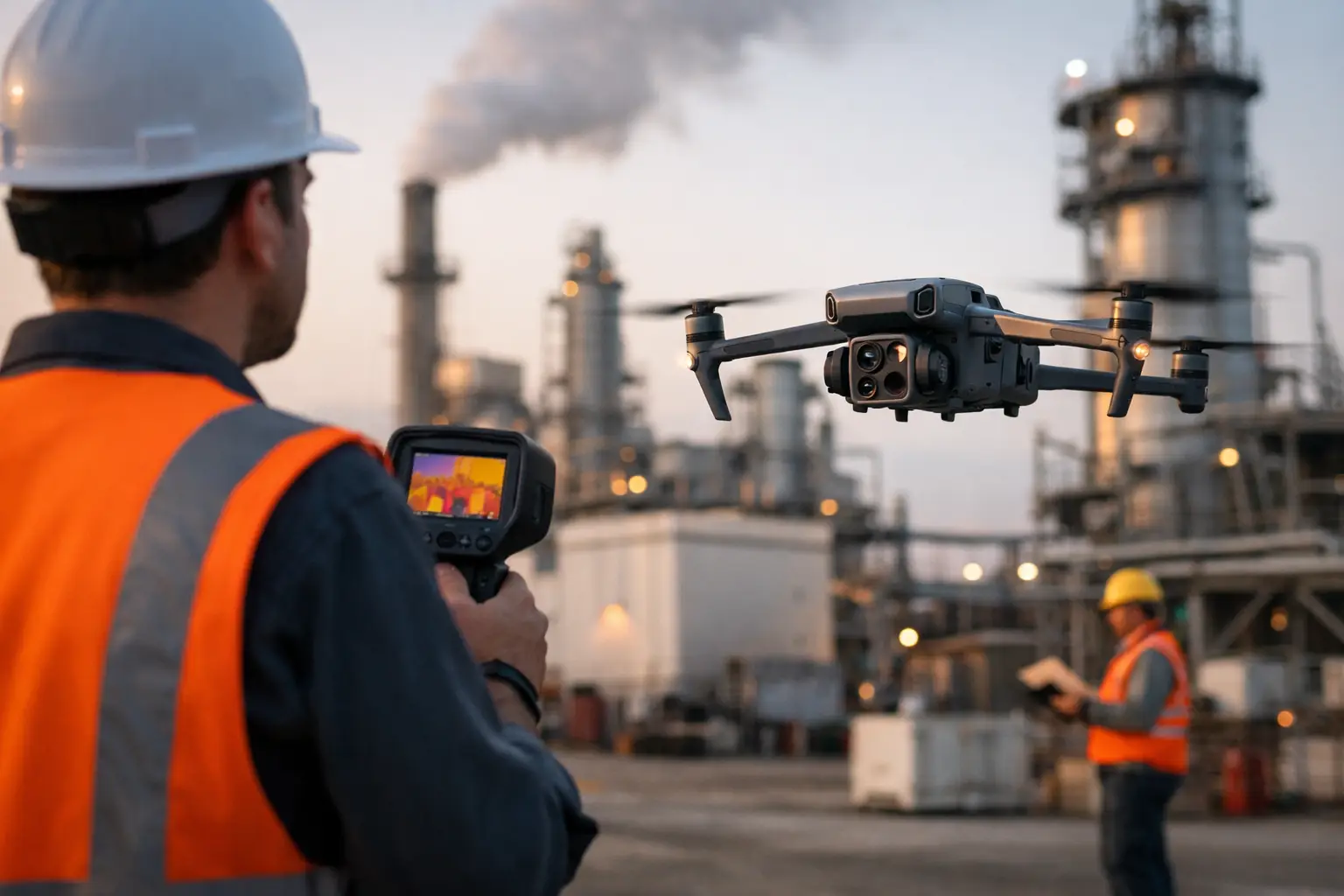
Elevation models and volumetric outputs can support earthwork tracking, stockpile management, and planning discussions, but they require the right capture method and realistic expectations about precision. Thermal mapping may also be relevant in selected applications, especially where temperature patterns across large surfaces or equipment zones matter. However, thermal data needs proper interpretation and should support, not replace, qualified maintenance or engineering review.
Common mistakes that reduce mapping value
The first mistake is treating every site the same. A substation, industrial rooftop, pipeline corridor, and multi-phase construction project all present different risks and data needs. One-size-fits-all workflows tend to produce inconsistent results.
The second is under-scoping repeat work. If a team wants monthly or weekly mapping, the mission should be built for consistency from day one. Matching flight paths, camera angles, site extents, and file naming conventions saves time later and makes trend comparisons more reliable.
The third is focusing only on capture and ignoring delivery. A technically sound map still loses value if stakeholders cannot access it easily, compare it to prior datasets, or integrate it into their existing workflow. Industrial clients usually need organized outputs, clear labeling, and documentation they can hand to project teams, carriers, engineers, or operations staff without extra cleanup.
Another common problem is assuming faster is always better. Rapid deployment matters, especially after storms, incidents, or schedule disruptions, but rushed collection can create gaps that force a return visit. In critical environments, speed has to be balanced with permissions, safety controls, and mission discipline.
Where aerial mapping delivers the strongest return
Construction teams often see the clearest benefit because mapping reduces the need for repeated manual walks across large sites and creates a current record that multiple stakeholders can use. Owners, superintendents, and remote teams can all reference the same visual baseline.
Utilities and infrastructure operators benefit when aerial mapping helps document asset surroundings, access conditions, vegetation context, storm impacts, or work progress across difficult terrain. Large industrial campuses can also use recurring mapping to support maintenance planning, contractor coordination, and condition documentation.
Insurance and catastrophe response is another strong fit. After a loss event, fast aerial mapping can help capture broad site conditions before cleanup or temporary repairs change the scene. That record can support claims review and incident documentation, especially where ground access is limited or safety exposure is elevated.
What to look for in a provider
In this kind of work, field discipline matters as much as flight capability. You want a provider that understands operational environments, follows compliance requirements, carries professional insurance, and plans missions around risk reduction and usable outputs. FAA Part 107 certification is the baseline, not the finish line.
It also helps to work with a team that has experience around industrial assets and can communicate clearly about scope, limitations, and deliverables. That is especially true when mapping supports construction, utilities, energy facilities, or post-event documentation. Air Reel Technologies operates in that lane, with a focus on commercial, industrial, and infrastructure environments where clients need more than generic aerial imagery.
The right partner should sound measured, not flashy. They should be able to explain what the data will show, what it will not show, and how the collection plan supports your actual objective.
A practical way to think about industrial aerial mapping
The simplest way to approach aerial mapping is to treat it as an operational data service, not a flight service. Ask what decision the map needs to support, how often it needs to be updated, and what level of accuracy the job actually requires. From there, the right scope becomes much easier to define.
When the planning is sound, industrial aerial mapping can cut site exposure, improve visibility across large assets, and create documentation that holds up under real project pressure. The best results do not come from flying more. They come from flying with purpose.