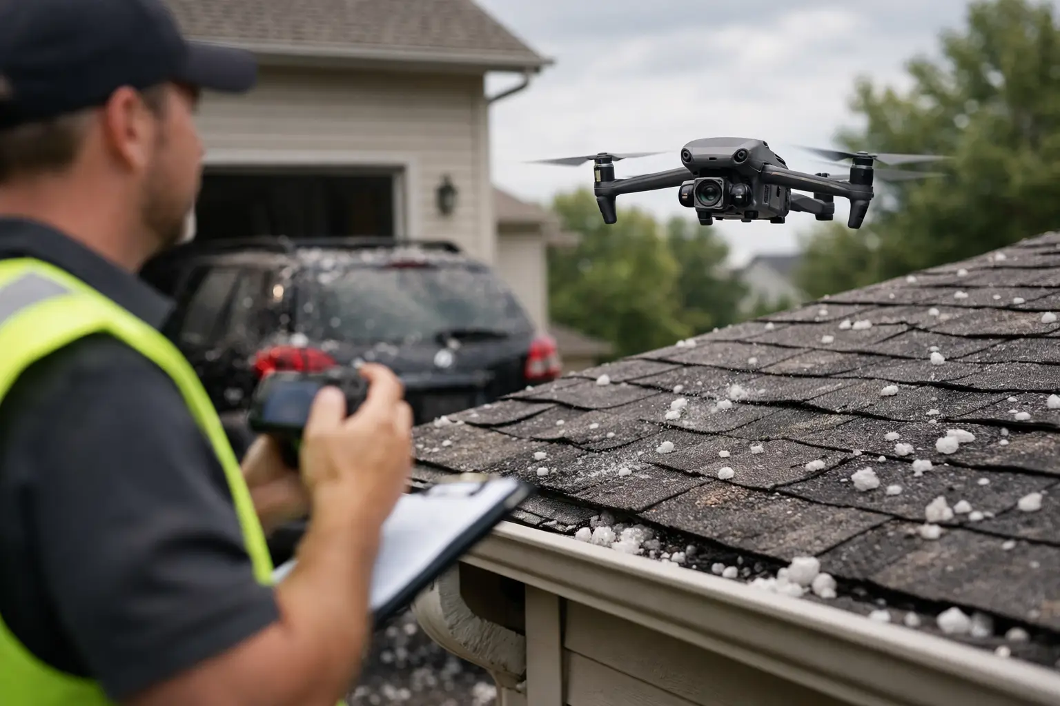
A missed stockpile edge, an outdated base map, or a blind spot around active equipment can turn a routine site decision into a costly one. That is why knowing how to map industrial sites is less about flying a drone and more about building a reliable workflow for safety, accuracy, and usable data.
Industrial facilities are not simple open fields. They include vertical structures, reflective roofs, live operations, restricted access areas, laydown yards, drainage features, and constant movement. A mapping plan that works on a flat construction parcel may fail at a plant, substation, quarry, manufacturing campus, or utility site. The goal is not just to collect imagery. It is to produce mapping deliverables that operations, engineering, maintenance, insurance, and project teams can actually use.
How to map industrial sites starts before the flight
The biggest mistake in industrial mapping is starting with the aircraft instead of the objective. Before any flight planning begins, define what the map needs to support. A facility manager may need roof condition documentation and drainage visibility. A contractor may need an orthomosaic for progress tracking and quantity verification. An engineering team may need current site context for planning access, staging, and tie-ins.
Those goals change how the mission is built. If the end use is measurement, the project needs stronger control, tighter overlap, and disciplined capture. If the end use is visual documentation after a storm event, speed and coverage may matter more than survey-grade precision. In many cases, the right answer is a mix of outputs, such as an orthomosaic for site-wide context and a 3D model for tanks, cooling structures, rooftops, or process areas with elevation change.
Industrial mapping also starts with the site itself. Active traffic patterns, overhead utilities, emissions, RF interference, heat sources, and access restrictions all affect mission design. A mapping provider should review airspace, check site hazards, coordinate with stakeholders, and establish a field plan that fits operations instead of disrupting them.
Define the deliverable before collecting data
When teams ask for a map, they are often asking for different things without realizing it. That is where many projects drift off course.
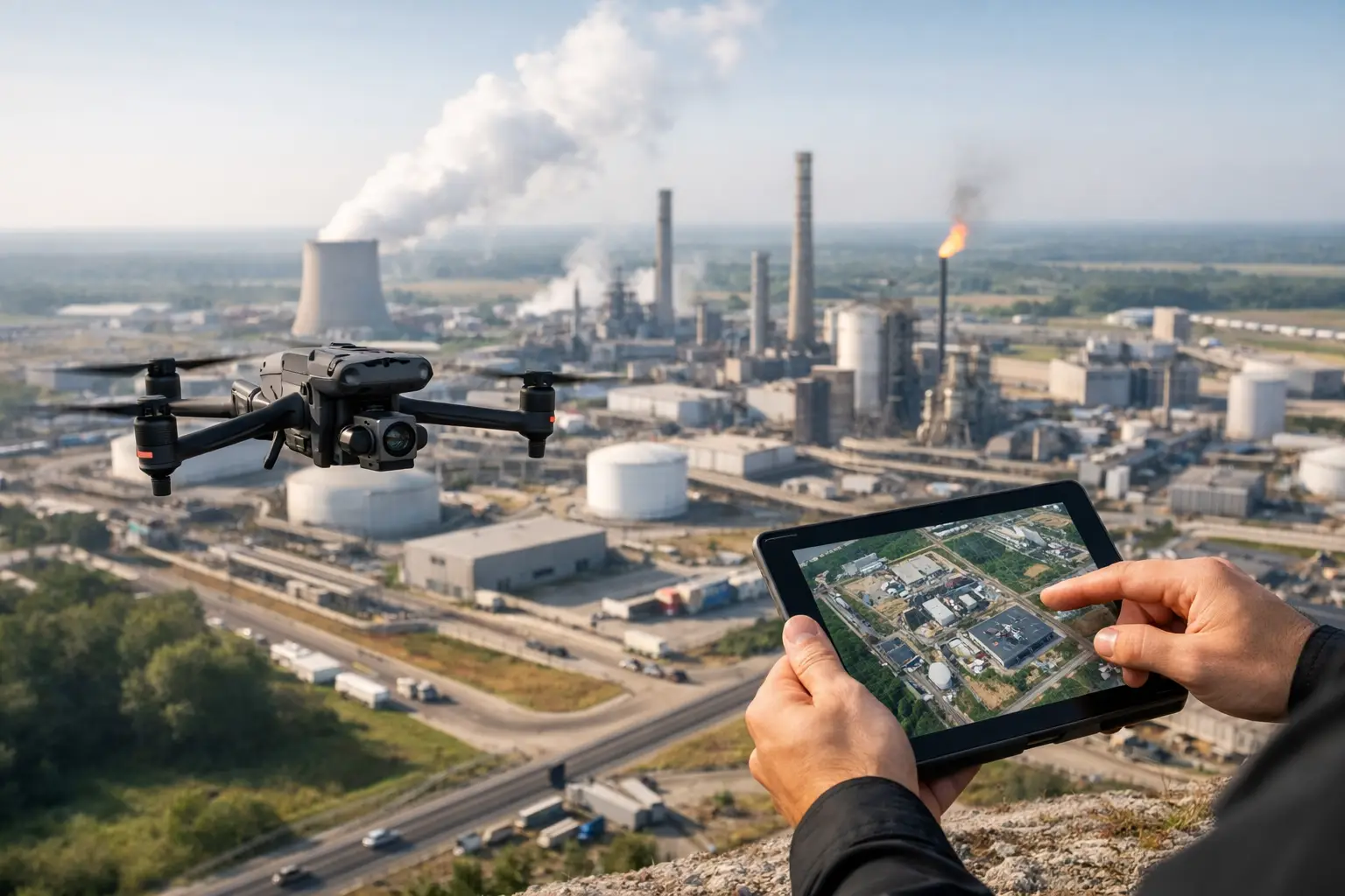
An orthomosaic is often the right baseline for industrial sites because it provides a current, high-resolution overhead image corrected for scale and perspective. It supports planning, documentation, and visual reference well. But if the site includes conveyors, stacks, cooling towers, pipe racks, or uneven terrain, a 2D map alone may not answer the real questions. In those cases, a 3D model or surface model may be just as important.
Accuracy expectations also need to be set early. There is a difference between a map that is excellent for operational awareness and one intended to support precise measurements. Neither is inherently better. It depends on the decision tied to the data. If the map will guide layout, volumes, or engineering review, the collection method must reflect that. If it is mainly for inspections, planning, or documentation, the workflow may prioritize speed and site coverage.
Build the flight plan around industrial conditions
A good flight plan accounts for more than the perimeter. It accounts for the way industrial sites behave.
Height variation is one of the first issues. Warehouses, tanks, towers, process equipment, and rooftop units create shadows, occlusions, and inconsistent image geometry. A basic overhead grid may leave data gaps around vertical assets. That is why many industrial mapping missions combine nadir imagery with oblique capture in selected areas.
Surface conditions matter too. Metal roofs, solar glare, standing water, and uniform gravel can reduce image quality or processing reliability. Midday flights are not always ideal if reflectivity is extreme. Wind is another factor. On a broad site, moderate wind may be manageable for general coverage but still reduce consistency around edges, elevated structures, or narrow corridors.
Then there is site activity. Haul trucks, cranes, forklifts, and active crews can affect both safety and final map quality. If traffic is heavy, the map may show movement artifacts or inconsistent stitching in key areas. In those cases, it may be better to map in phases, coordinate around operational windows, or separate active zones from static infrastructure.
Ground control, checkpoints, and accuracy trade-offs
If your team is serious about usable mapping, this is where discipline shows. Industrial sites often demand more than a visually clean map.
Ground control points and checkpoints improve confidence in position and scale, especially when the map will support measurements, overlays, planning, or repeat comparisons over time. They are not always required for every project, but skipping them without understanding the consequence is a common mistake.
There is also an access trade-off. Some sites make it difficult or unsafe to place and verify control throughout the property. In those environments, the field team may need a hybrid strategy based on site access, safety exposure, and the level of accuracy required. The right choice depends on the facility, the deliverable, and the operational constraints.
This is also where expectations should stay grounded. Drone mapping can provide highly valuable visual and spatial data, but it should support, not replace, formal survey or engineering judgment when those are required for a specific purpose.
How to map industrial sites without creating safety problems
Industrial clients do not need extra complexity. They need a mapping process that respects site rules, airspace requirements, and operational realities.
That starts with coordination. Site contacts should know where the crew will stage, what areas will be flown, what the emergency procedures are, and how active work zones will be handled. If the facility has sensitive areas, restricted operations, or safety escorts, those requirements need to be built into the plan before the day of flight.
Pilot qualifications and insurance matter here because industrial mapping is not a casual assignment. FAA Part 107 compliance, documented operating procedures, and professional coverage are part of what separates dependable aerial data collection from unnecessary risk. On complex sites, experience matters just as much as equipment. A technically capable drone in the hands of an unprepared operator is still a weak risk decision.
Weather judgment matters too. A schedule may say the mission should happen today, but site haze, gusting winds, thermal activity, or changing light can produce weak data. The disciplined call is not always to fly. It is to collect data when conditions support a reliable result.
Processing is where the map becomes useful
Many industrial teams have seen this before: a lot of images, but not much they can use. Data collection is only half the job.
Processing should produce outputs that match the original objective. That may include an orthomosaic, digital surface model, elevation products, stockpile calculations, or a textured 3D model. What matters is that the final deliverable can be reviewed clearly and applied to real decisions.
Quality control is critical. Images should be checked for blur, gaps, distortion, and stitching issues before the product is delivered. On industrial sites, repetitive structures and reflective surfaces can create subtle processing errors that are easy to miss if the review is rushed. A map that looks acceptable at first glance may still be weak in the exact area a project manager needs to examine.
Consistency also matters for repeat mapping. If a site is being documented monthly or after major milestones, similar flight parameters and processing standards help teams compare progress more reliably. That is especially useful for construction tracking, insurance documentation, maintenance planning, and change detection across large properties.
Common mapping mistakes on industrial properties
The most common failure is treating every site like a generic aerial photo job. Industrial environments demand more planning than that.
Another mistake is collecting too little overlap or relying on a single flight pattern where vertical assets dominate the site. Some teams also underestimate the effect of traffic, shadows, and reflective materials on the final output. Others request high accuracy without allowing time for proper control, coordination, or site access.
A final issue is poor alignment between the field team and the client team. If operations, engineering, and project management are not aligned on what the map is for, the deliverable may be technically fine but operationally weak. The best mapping work starts with a clear use case and ends with data that fits the workflow of the people making decisions.
Choosing the right partner for industrial mapping
If you are evaluating providers, ask how they approach active industrial environments, not just what drone they use. Equipment matters, but field discipline matters more.
Look for a team that understands flight planning around live operations, can communicate clearly with site stakeholders, and knows how to produce deliverables that support documentation, inspections, planning, and asset visibility. Ask about FAA Part 107 certification, insurance coverage, safety procedures, and experience in high-value commercial or infrastructure settings.
For organizations operating in Georgia, Alabama, South Carolina, or Tennessee, local deployment can also matter when schedule pressure is high or repeat site visits are needed. Air Reel Technologies works in these environments with a focus on professional aerial data, mapping, inspection support, and disciplined field execution.
The right map should reduce uncertainty, not add another file to sort through. When industrial mapping is planned around the asset, the hazards, and the decision that follows, it becomes a practical tool for safer operations, better documentation, and faster action.