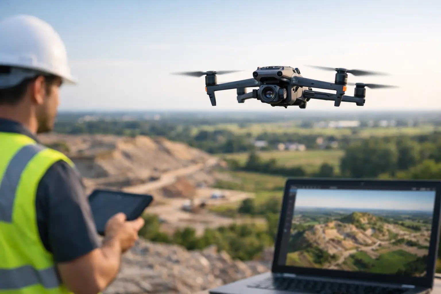
When a project team is trying to verify site conditions, measure stockpiles, document earthwork, or track progress across a large asset, waiting on fragmented field notes and manual measurements slows everything down. Drone photogrammetry services give commercial and industrial teams a faster way to collect accurate aerial data and turn it into maps, models, and usable documentation.
For construction firms, utilities, engineers, and infrastructure operators, the value is not the drone itself. The value is disciplined data capture, repeatable outputs, and documentation that supports real decisions. If the deliverable does not help a superintendent confirm progress, a plant team review conditions, or an engineering group compare site changes, it is just imagery. Good photogrammetry work should do more than look impressive.
What drone photogrammetry services actually provide
Photogrammetry uses overlapping aerial images to create measurable outputs from real-world surfaces and structures. In practical terms, that usually means an orthomosaic map, a point cloud, a 3D surface model, contours, volume calculations, or a textured 3D model of a site or asset.
That matters because many organizations still rely on slow ground-based collection methods for broad site visibility. Walking a large construction site, climbing to inspect difficult roof areas, or trying to piece together asset conditions from scattered photos takes time and introduces inconsistency. Drone-based photogrammetry gives teams a current visual record tied to scale and spatial context.
The key phrase there is tied to context. A standalone photo can show a problem area. A photogrammetry deliverable can show where that area sits within the full site, how conditions have changed over time, and what teams need to review next. For project management, pre-planning, insurance documentation, and operational awareness, that difference is significant.
Where drone photogrammetry services make the biggest impact
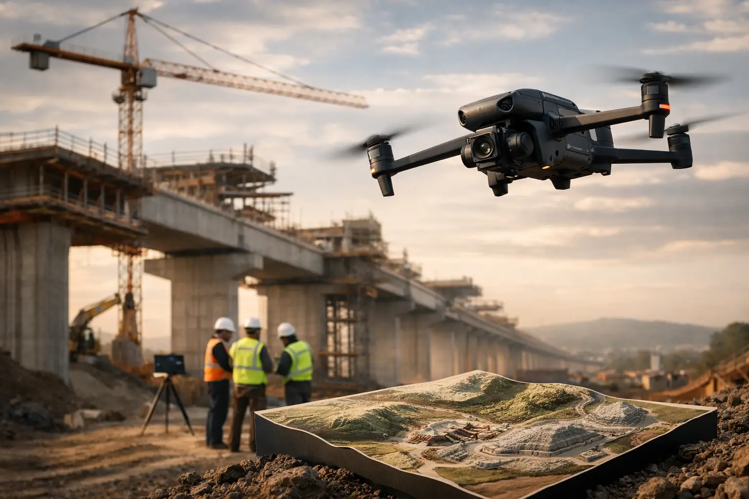
Construction is one of the clearest use cases. Progress tracking becomes easier when project teams can compare repeatable aerial maps over time instead of relying only on ground walkthroughs. Earthmoving quantities, access routes, drainage patterns, laydown areas, and overall site development become easier to verify when everyone is looking at the same current dataset.
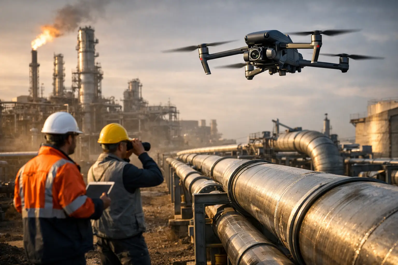
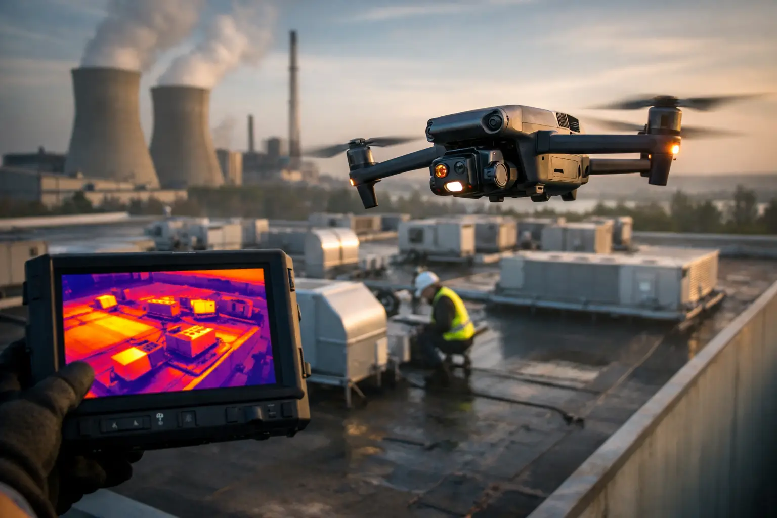
On industrial and energy sites, photogrammetry can support maintenance planning and visual documentation for complex facilities. It helps teams review rooftops, exterior structures, large footprints, and hard-to-access areas without exposing personnel to unnecessary climbing or prolonged field time. It does not replace engineers or certified inspectors, but it gives them a stronger visual baseline to work from.
Utilities and telecom operators also benefit when coverage areas are large and access is difficult. Transmission corridors, substations, and tower environments often require careful planning and disciplined field execution. In those settings, photogrammetry is useful when the objective is broad documentation, spatial reference, and repeatable condition records rather than a simple set of images.
Insurance and catastrophe response is another area where timing matters. After a storm or loss event, teams often need current documentation quickly across multiple properties or damaged assets. Drone photogrammetry services can help create organized, high-resolution visual records that support claims review, damage assessment workflows, and recovery planning.
What separates usable data from expensive noise
Not every drone operator is equipped for photogrammetry work in commercial or industrial environments. The difference usually comes down to planning, consistency, and field discipline.
Photogrammetry depends on proper overlap, flight path design, lighting awareness, altitude selection, ground control when required, and a clear understanding of the final output. If a provider captures images without thinking through processing requirements or the client’s workflow, the result may be visually appealing but operationally weak.
This is where experienced providers stand apart. A field-ready team will ask what the data needs to support. Are you comparing weekly construction progress, estimating material volumes, documenting pre-loss conditions, or creating a site model for engineering review? The flight plan, capture settings, and deliverables should reflect that purpose.
There are also trade-offs. A fast site flight may be enough for broad progress visibility, but it may not be enough for higher-precision modeling. Dense vegetation, reflective surfaces, repetitive patterns, shadowed areas, or restricted access zones can all affect output quality. Good providers explain those constraints early instead of overselling what the data can do.
Drone photogrammetry services for construction and infrastructure
For construction and infrastructure teams, repeatability is often more valuable than a single highly polished deliverable. A map captured once is useful. A series of maps captured on the same schedule and in the same way becomes a management tool.
That is why many organizations use photogrammetry as part of a broader aerial documentation workflow. Orthomosaic maps can help with site logistics and progress verification. 3D models can support planning conversations and visual coordination. Volume calculations can help track stockpiles or earthwork. Archived datasets create a dated record of conditions that becomes valuable when schedules slip, claims arise, or stakeholders need evidence of what was present at a specific point in time.
For critical infrastructure environments, execution standards matter just as much as the technology. The provider needs to operate safely, coordinate properly, and understand that these sites are not casual flight environments. FAA Part 107 certification, professional insurance coverage, and experience in regulated or high-consequence settings are not extras. They are part of basic risk management.
How to evaluate a provider
If you are considering drone photogrammetry services, the first question should be simple: what business decision will this data support?
From there, look at whether the provider understands your operating environment. Construction, utilities, industrial plants, and insurance response work all have different constraints. A capable partner should be able to discuss access limitations, safety considerations, deliverable formats, turnaround expectations, and the limits of what the data can confirm.
Ask how they approach repeat missions, processing quality, and documentation consistency. If your team plans to compare monthly site conditions or maintain records for claims and compliance support, consistency matters more than flashy presentation.
It also helps to ask what the final handoff looks like. Some clients need orthomosaics for internal reporting. Others need models and measurements that can be reviewed by engineering or operations teams. Some need straightforward visual documentation delivered quickly after a storm event. The right scope depends on the job.
A serious provider will not talk like a hobbyist photographer. They will talk about mission planning, safety controls, data quality, and operational outcomes. That is the standard organizations should expect when the site is active, the asset is valuable, and the documentation may influence cost, scheduling, maintenance, or claims decisions.
Why field experience matters as much as software
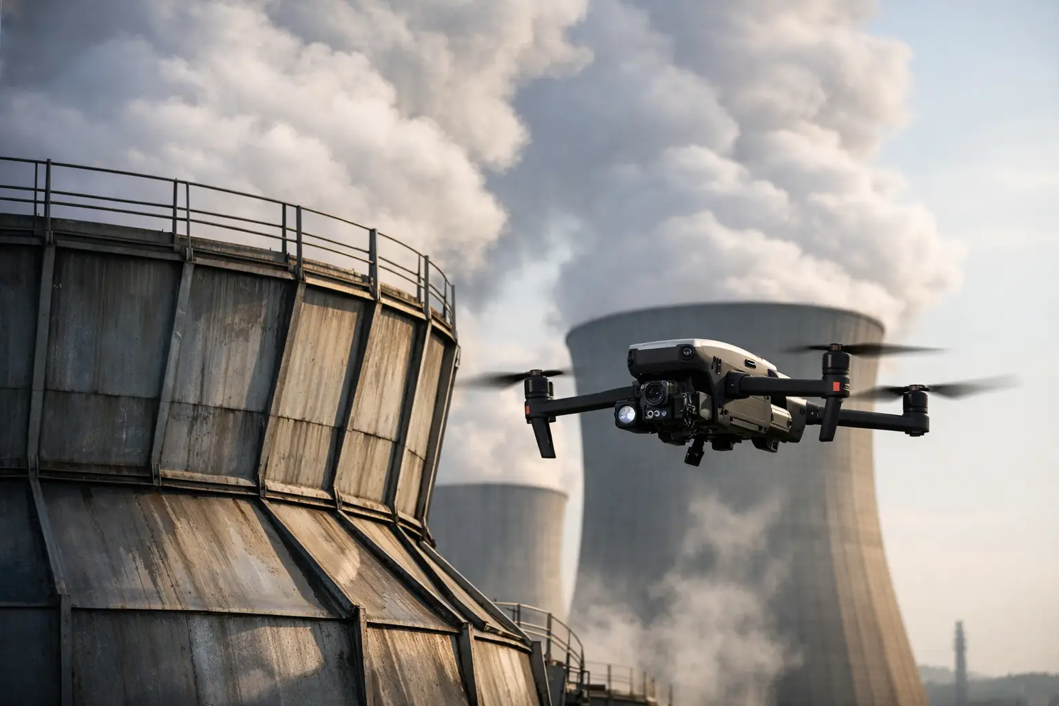
Processing software gets much of the attention in photogrammetry conversations, but field execution is what determines whether the dataset is worth processing in the first place. Teams working around industrial rooftops, power facilities, towers, or large construction sites need a provider that understands site coordination, hazard awareness, and disciplined capture methods.
That is especially true in the Southeast, where weather, heat, changing site conditions, and storm-driven response needs can affect planning and deployment. A company like Air Reel Technologies is built around that kind of operational reality. The goal is not to produce generic aerial content. It is to collect dependable visual intelligence that helps commercial and infrastructure teams move faster with less guesswork.
The strongest photogrammetry programs are not built on novelty. They are built on consistency, safety, and useful outputs. If your team needs current maps, measurable site data, and documentation that stands up in real project and asset workflows, the right drone photogrammetry service becomes less about flying and more about giving decision-makers a clearer picture of what is actually happening on the ground.
When the stakes are high, better visibility is not a nice extra. It is part of running the job well.